FS 6S103

Total Miles2
Technical Rating
5Moderate
Best TimeSpring, Summer, Fall
Trail TypeFull-Width Road
Accessible By
Open Trail Map

Trail Overview

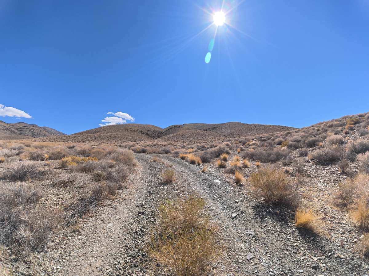
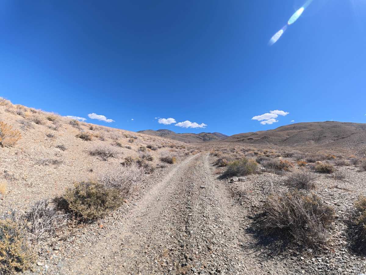
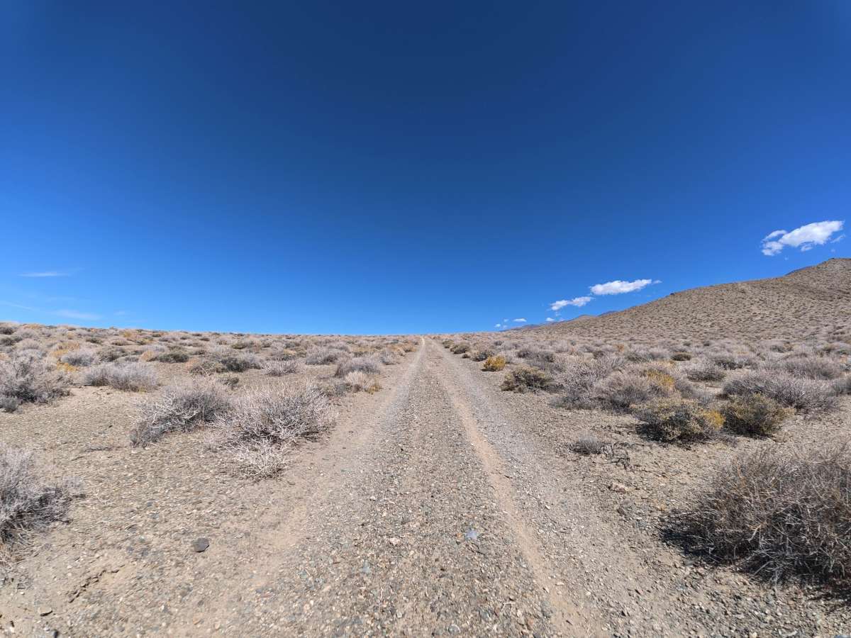
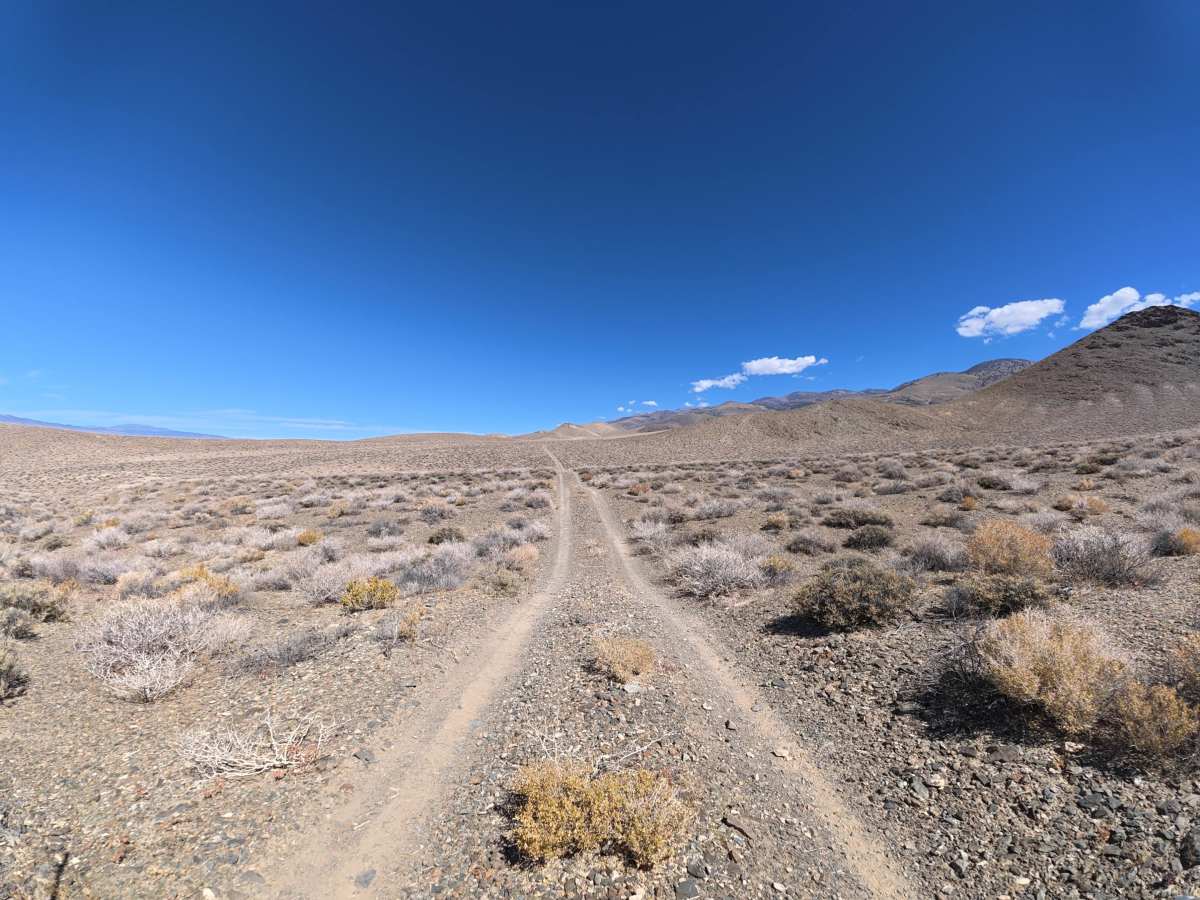
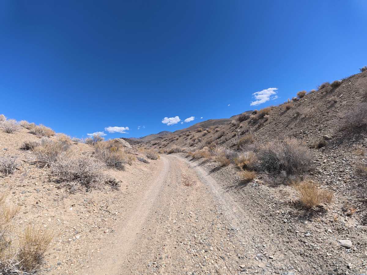
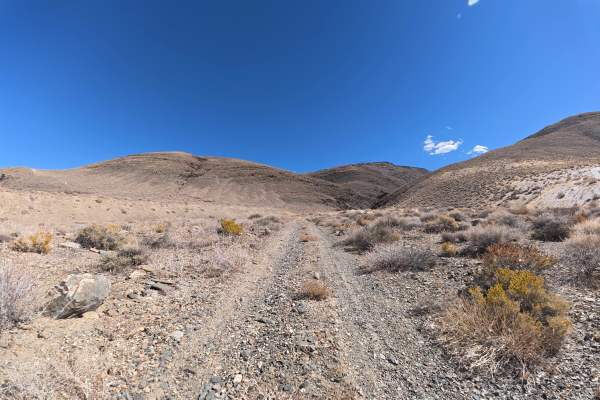
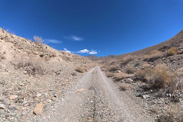
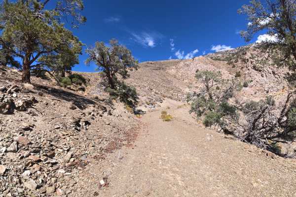
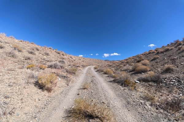
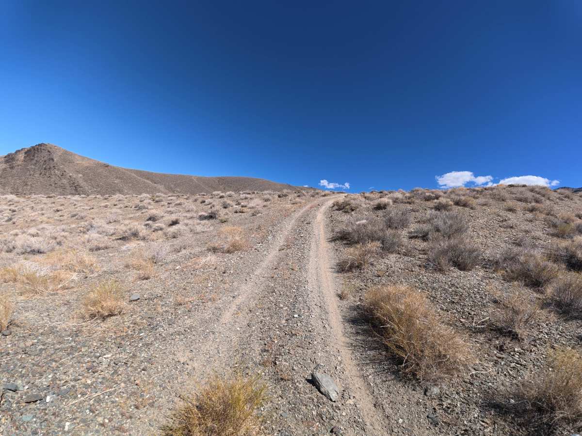
This narrow dirt and gravel trail winds through the surrounding hills with 6–8 inch ruts during the climbs. Around 1.6 miles, the surface becomes extremely soft and sandy as the trail begins a steep descent. At the end, a large, level campsite accommodates six to eight vehicles with incredible views of Bishop and the surrounding mountains. Be aware that this is a one-way-in, one-way-out route. Around 1.9 miles in, you must descend a very steep, soft, sandy hill that you will have to climb again on the return trip.

Photos of FS 6S103

Difficulty

This trail is rated Level 5 because of the extremely steep, soft, sandy hill climb required on the return trip, along with 6–8-inch ruts and loose terrain. 4WD or AWD is required, and airing down to a low, safe tire pressure is highly recommended for the return climb.

Technical Rating

5

FS 6S103 Trail can be accessed by the following ride types:

  • Single Track
  • 50 Inch
  • 60 Inch
  • High Clearance
  • Full Width

FS 6S103 Map

The onX Offroad Difference

onX Offroad combines trail photos, descriptions, difficulty ratings, width restrictions, seasonality, and more in a user-friendly interface. Available on all devices, with offline access and full compatibility with CarPlay and Android Auto. Discover what you're missing today!

Open Trail Map