Trail Overview
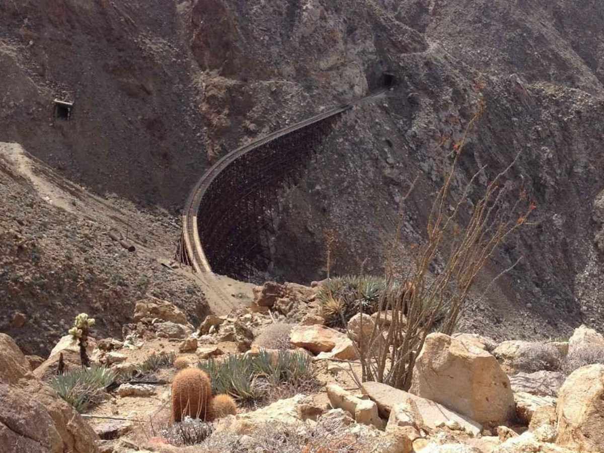
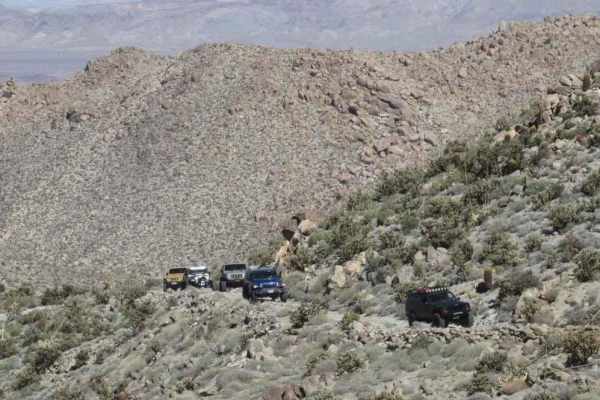
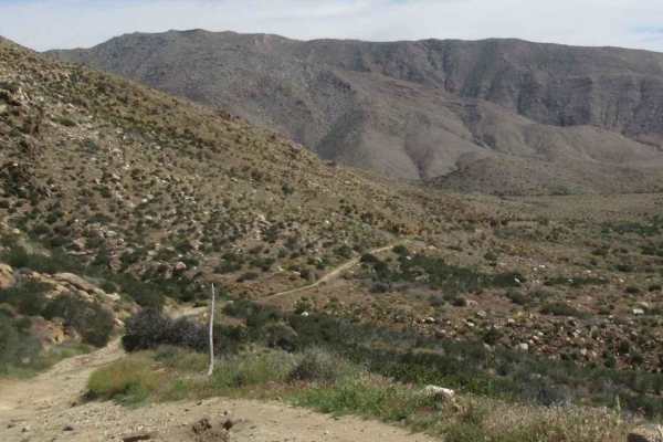
Goat Canyon Overlook is a 2.7-mile point-to-point trail rated 4 of 10 located on both BLM land and the Anza-Borrego Desert State Park (ABDSP). Goat Canyon Overlook is a favorite of locals as it provides both scenic views as well as some challenging overland trails to reach the viewpoint. The trail starts at the end of EC 33, accessed through Table Mountain, and crosses the southernmost section of the ABDSP before crossing back into BLM-managed land. Since this trail crosses the ABDSP, it is restricted to only street-legal vehicles. The end of the trail overlooks Goat Canyon and the Carrizo Gorge rail line. Views from the end of the trail include sections of the rail line and several tunnels. From here, a moderately difficult hike can be made down into the canyon to visit the Goat Canyon Trestle. The trestle was built in 1933 and is the world's largest all-wood trestle at 633 feet long and 185 feet tall. Additionally, there are 16 tunnels running through the gorge. The rail line was purchased by the Baja California Railroad (BJCR) in 2016 with the idea of refurbishing the rail section. The project was abandoned in 2020, but this is still an active rail line. Hikers be warned, the BJCR states there is a 100-foot right-of-way on either side of the rail line and entry is considered trespassing. Both the county sheriff and the rail police patrol the gorge and are citing trespassers. The nearest basic services (gas, grocery store) are located in Jacumba Hot Springs. Major services are located west in San Diego. There is considerable private property within one mile of Interstate-8--please respect their privacy.
Difficulty
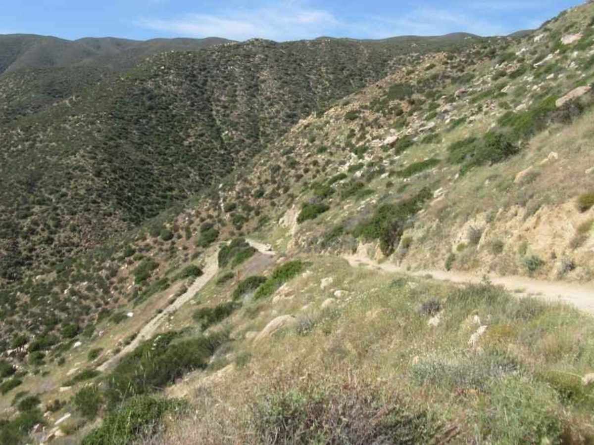
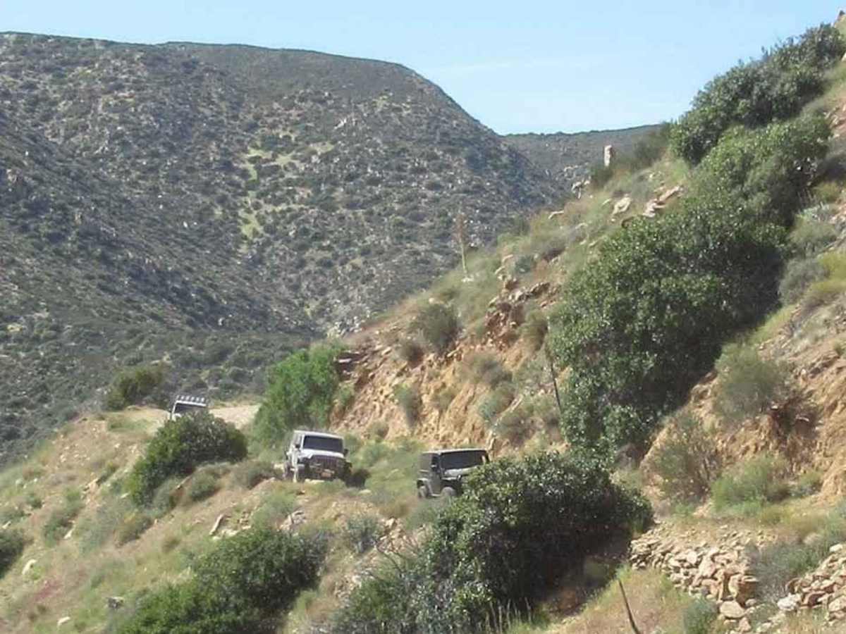
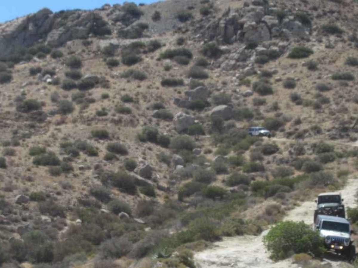
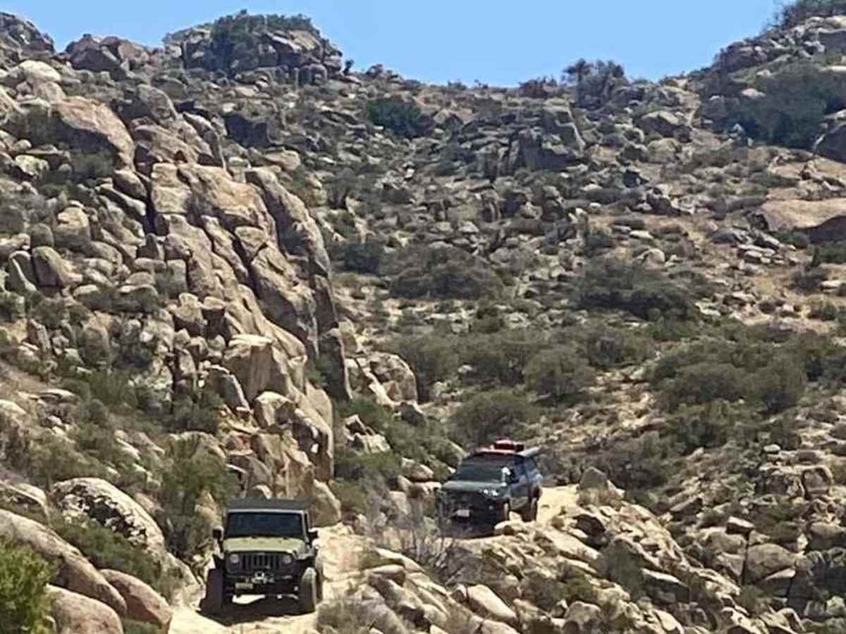
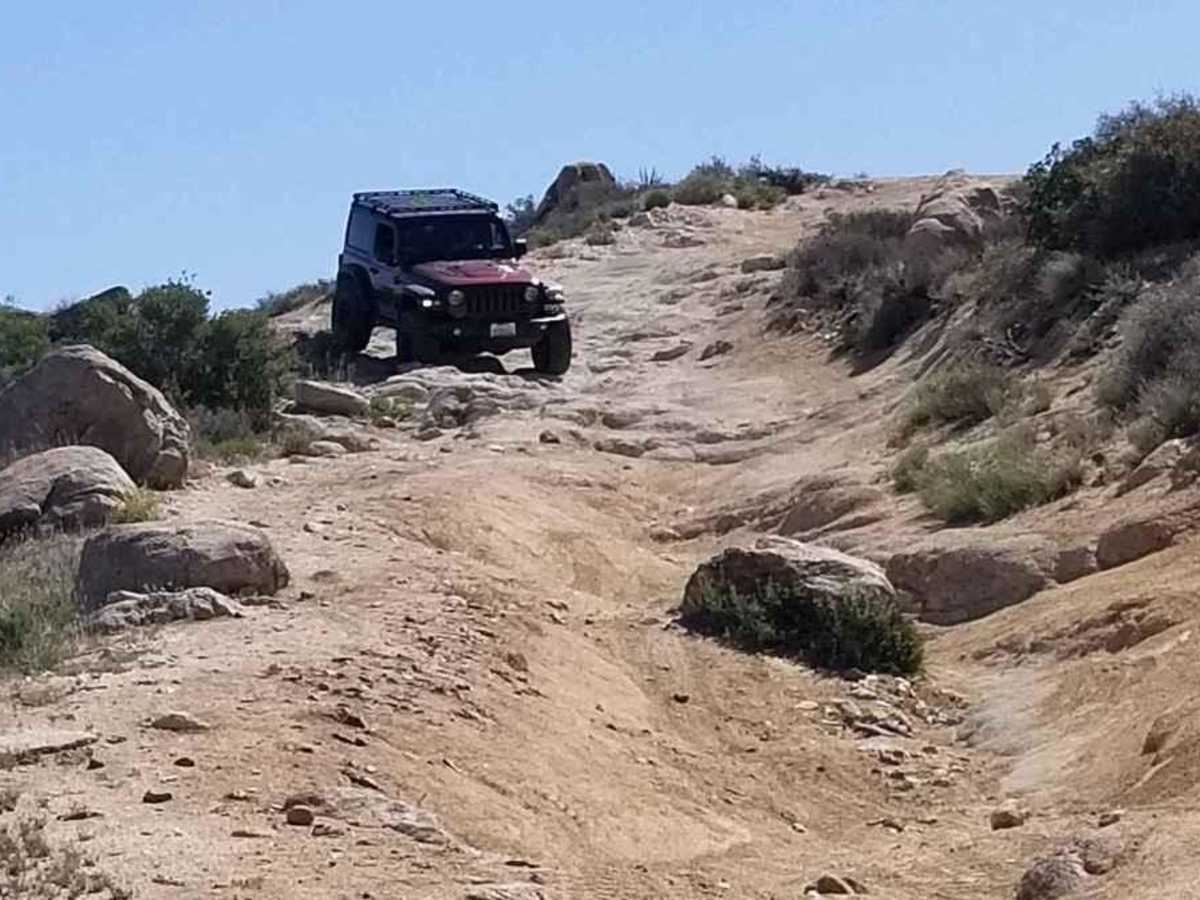
The trail consists of loose rock, dirt, and sand with some slickrock surfaces. There is some erosion, washes, gulches, and rock steps no higher than 18 inches. Tall tires (33+ inches) and limited slip are a plus. 4WD is required. Enhanced suspension travel and good ground clearance are helpful. Good driving skills are a plus.
History
Throughout history, the Kumeyaay Indians, who have inhabited the area perhaps for as long as 2,000 years, had a special reverence for the rocks. In the American period, which began in the 1840s, there was a need for communication between San Diego and points east. At first, it was easy enough for messengers and mule trains to take trails through the rocks of the mountains but, as transportation by stagecoach, wagon, and automobile became an issue, the need for wider roads developed, leading to pathways such as Old Highway 80, State Route 94, and Interstate 8 that circled around the Table Mountain area, leaving it a place of relative peace.