Trail Overview
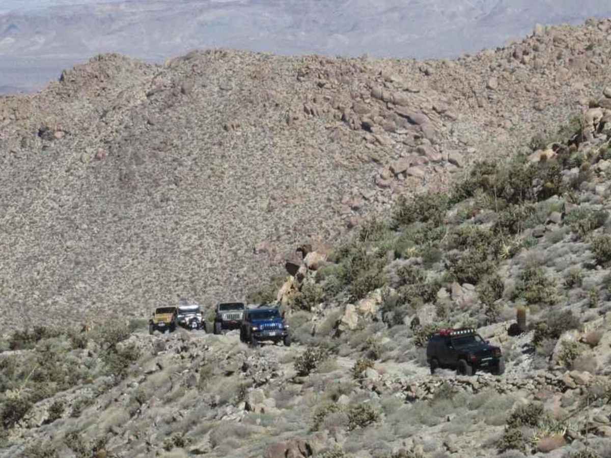
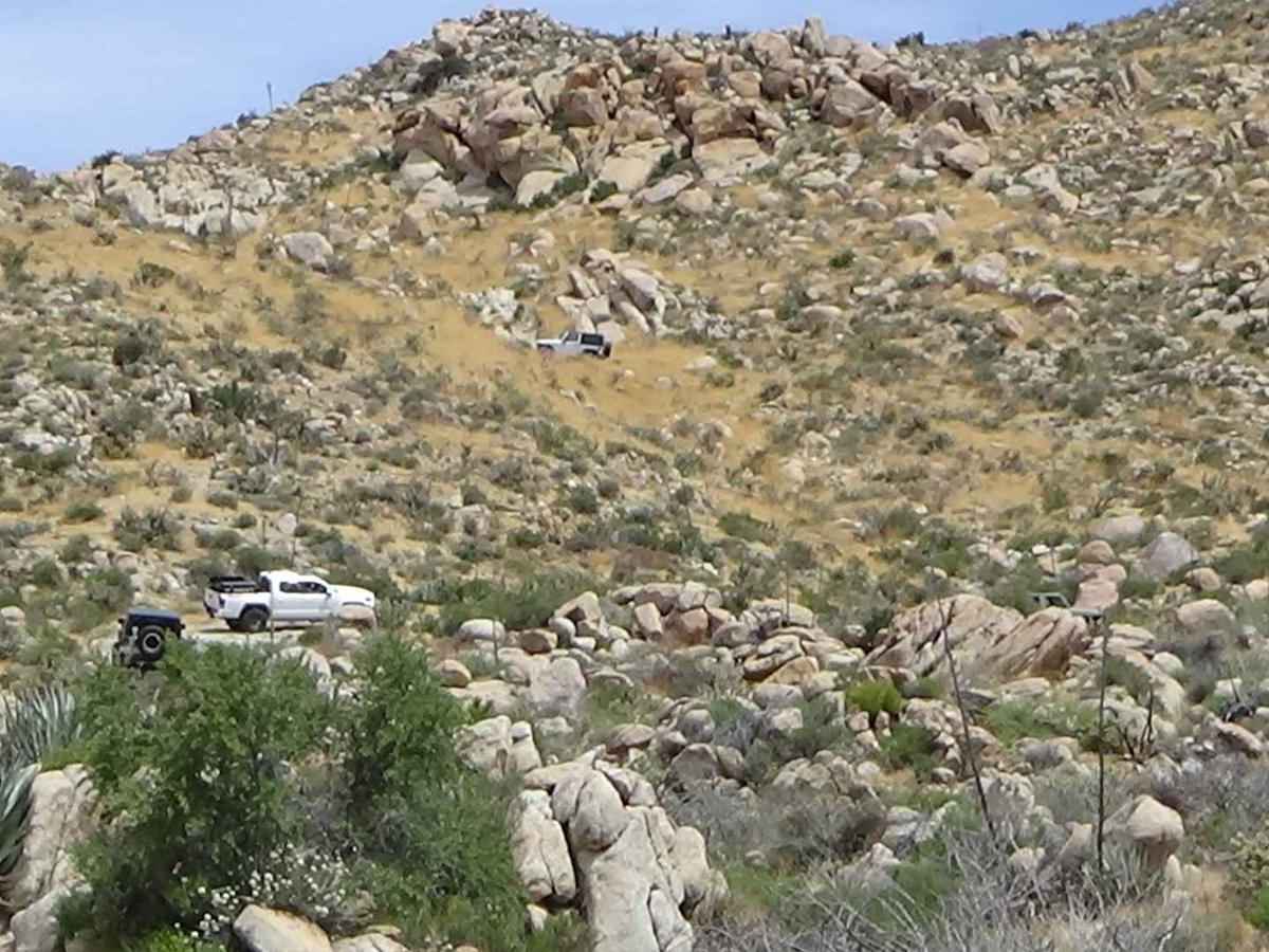
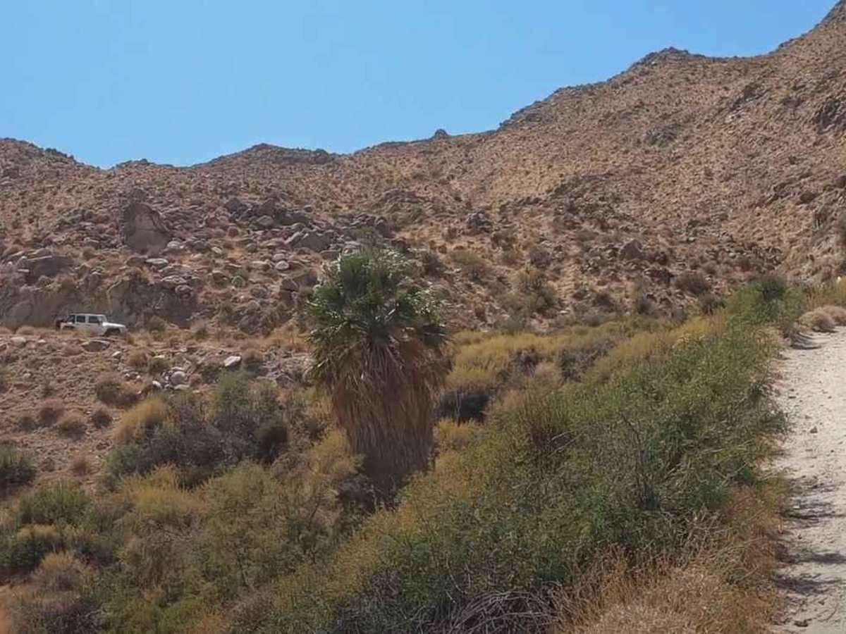
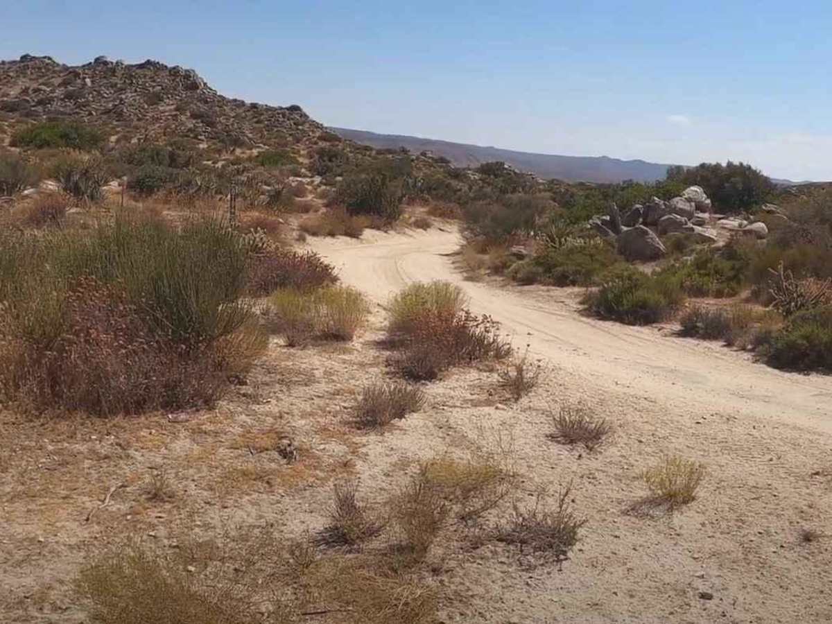
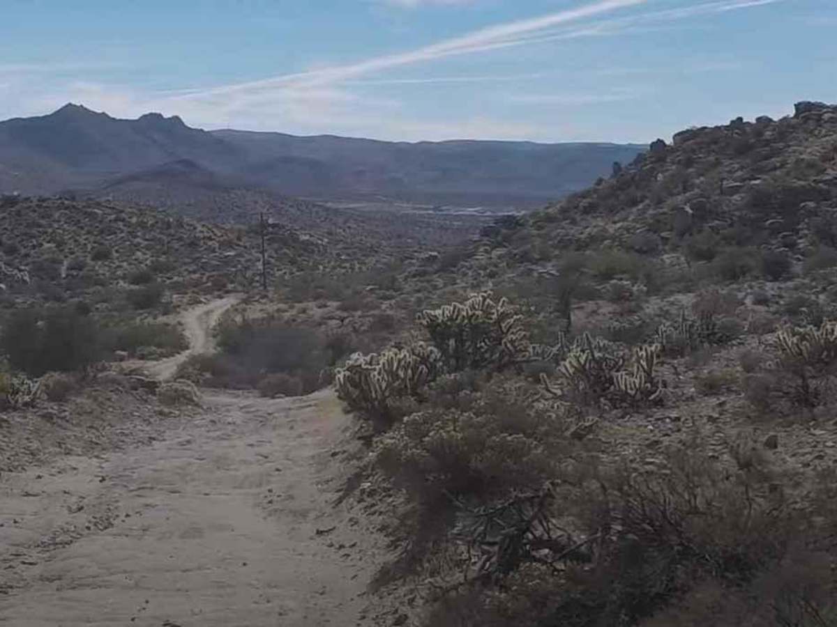
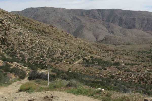
EC 33 Table Mountain is a 2-mile point-to-point trail rated 3 of 10 located in San Diego County. EC 33 provides the east/west connection between EC 19 and EC 39. This is a BLM-designated "open" trail and can be used by all vehicles. EC 33 is primarily a sand/dirt track with a few areas of sandy wash and has one rocky hill climb. The western end of EC 33 connects with the Carrizo Gorge Overlook trail which crosses into the Anza-Borrego Desert State Park. This overlook provides a scenic view of the Goat Canyon trail. Table Mountain is the most prominent feature in the area due south of this trail. The land surrounding the BLM-managed area is part of the California Anza-Borrego Desert State Park. Most days you will be able to observe vehicle activity up on Table Mountain. Although this is BLM land and you may be enticed to find the path up, it is not recommended. The U.S. Customs and Border Patrol has established an observation and monitoring base on the mountaintop and states that the access is restricted. Cell phone service is intermittent during the first couple of miles and then drops off as you get further into the wilderness. The nearest basic service (gas, shopping) is located in Jacumba Hot Springs. Major services are located west in San Diego. There is considerable private property within one mile of Interstate 8; please respect their privacy.
Difficulty
The trail consists of loose rocks, dirt, and sand with some slick rock surfaces. Mud holes are possible, but there are no steps higher than 12 inches. 4WD may be required, and aggressive tires are a plus.
History
Throughout history, the Kumeyaay Indians, who have inhabited the area perhaps for as long as 2,000 years, had a special reverence for the rocks. In the American period, which began in the 1840s, there was a need for communication between San Diego and points east. At first, it was easy enough for messengers and mule trains to take trails through the rocks of the mountains but, as transportation by stagecoach, wagon, and automobile became an issue, the need for wider roads developed, leading to pathways such as Old Highway 80, State Route 94, and Interstate 8 that circled around the Table Mountain area, leaving it a place of relative peace.