Trail Overview
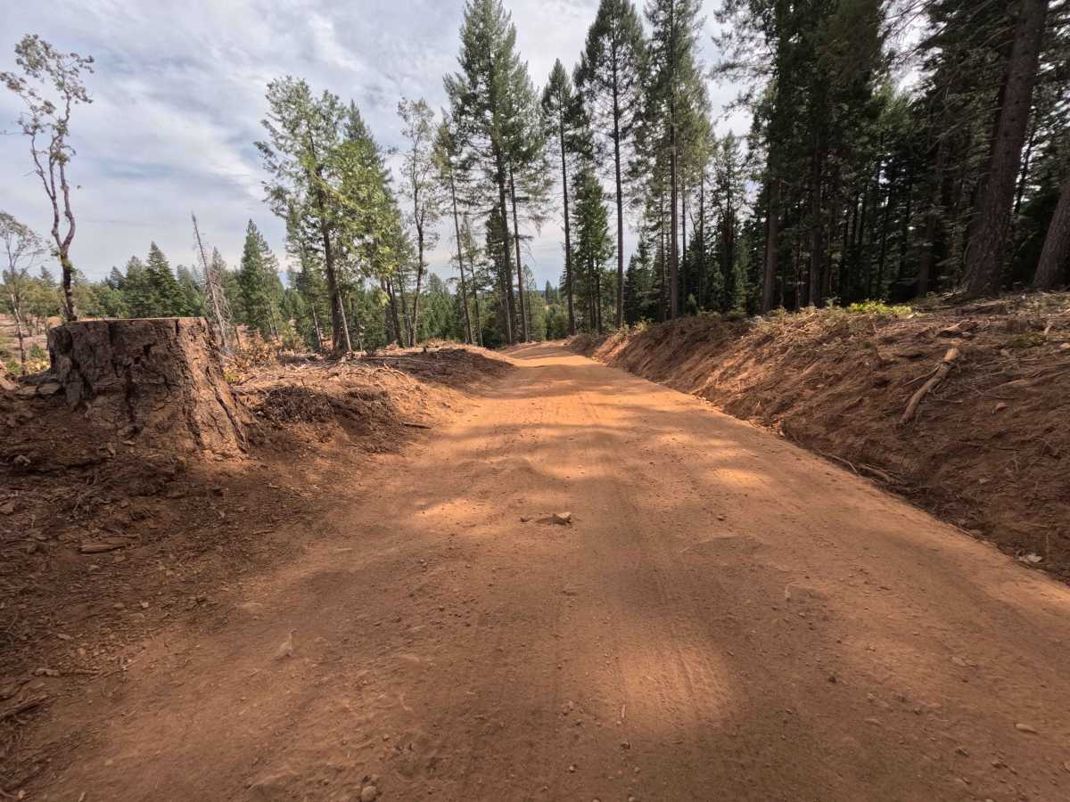
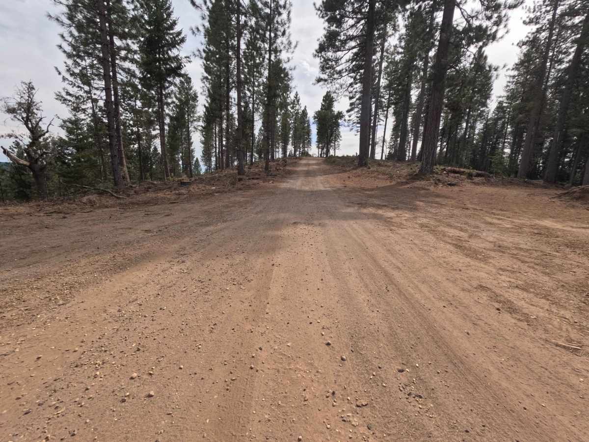
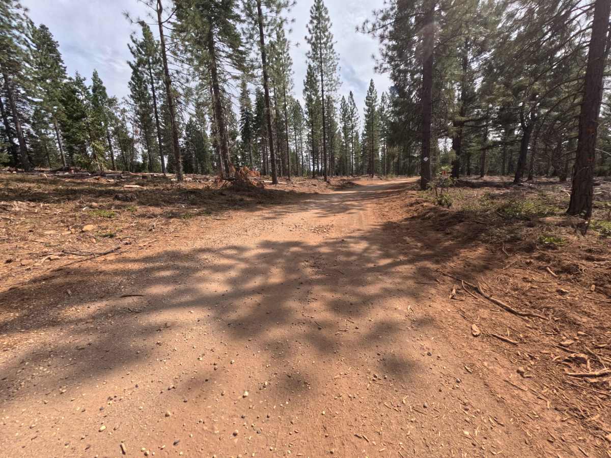
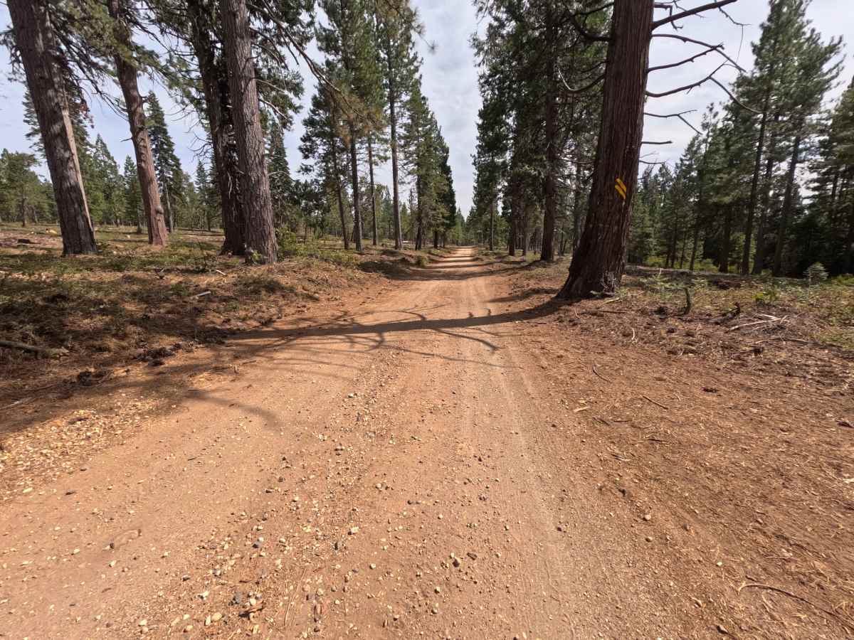
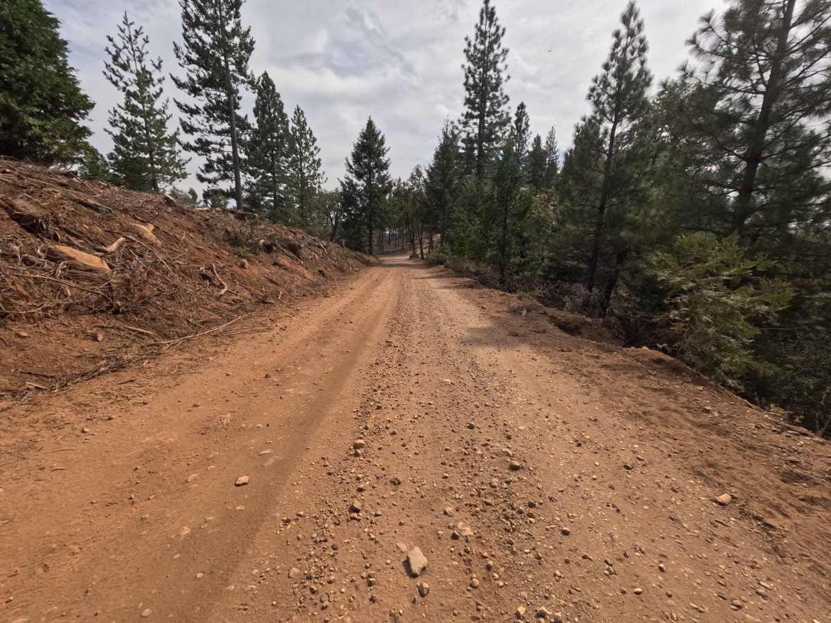
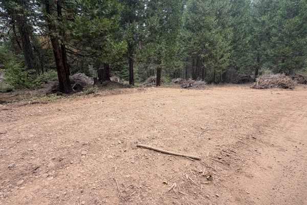
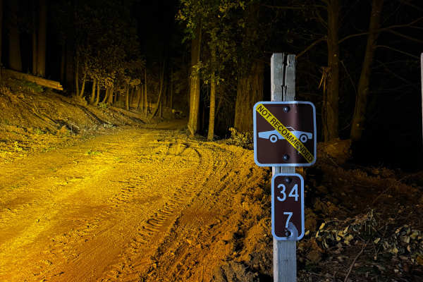
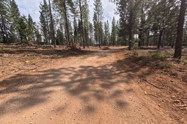
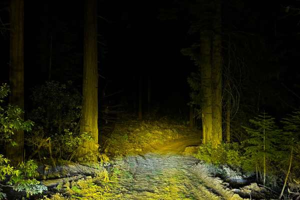
Dropping southward off Henness Pass Road, Forest Service Road 0293-014 (Gales Orchard) acts as a scenic, out-and-back dirt spur pushing out onto an exposed, timber-lined ridgeline within the Tahoe National Forest. The environment features a mix of mature pines and recent, heavy logging activity, opening up the western shoulder to reveal striking, long-range views over the southern valleys and distant hillsides. Operating as a wide single-track trail, the surface consists of fine, silty dirt, with a difficulty rating of 1. Recreationists often use this path to reach a series of established dispersed campsites; a prime solitary site sits around the half-mile mark, offering excellent views, with additional pull-outs near the 1.3-mile mark providing room for camp setups on both sides of the lane. The spur formally ends roughly 1.6 miles in, dead-ending at an active logging zone.
Difficulty
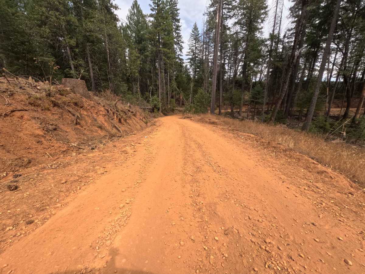
Rated as a level 1, this spur road delivers a smooth, effortless descent over a well-bladed, dusty dirt roadbed. The track is pleasantly wide, keeping any trailside brush well clear of the vehicle's paint, and the overall grade remains steady and mild. Undercarriage clearance is never a concern since the lane is devoid of rocks, deep ruts, or technical washouts. However, drivers should remain attentive around the 1.1-mile mark where the downhill slope briefly flattens out, as there is a sudden, sharp dip cut across the roadbed that could cause a jolt if taken too quickly. Past this minor depression, the trail remains a smooth cruise all the way to the turnaround at the logging site.