Trail Overview
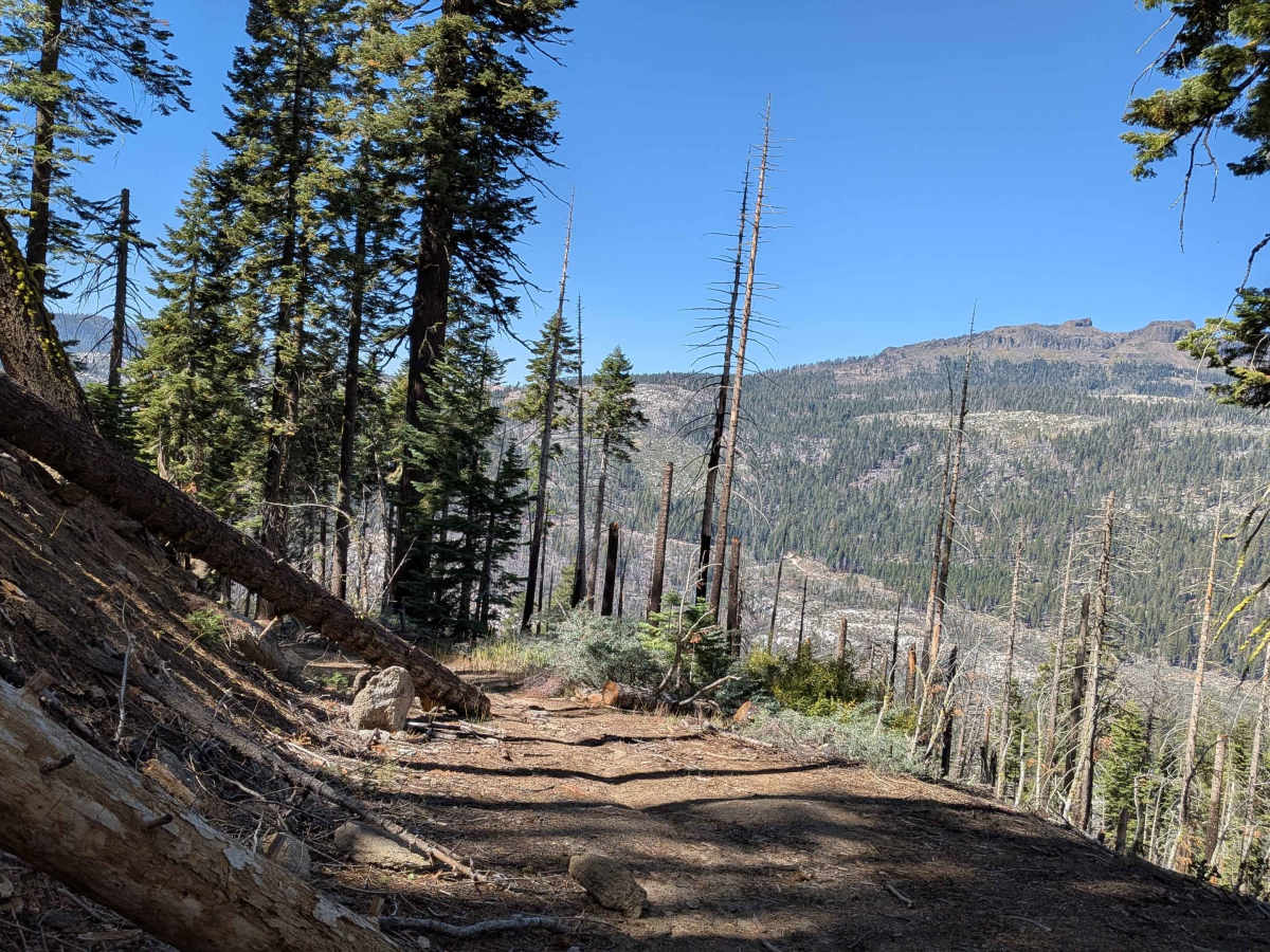
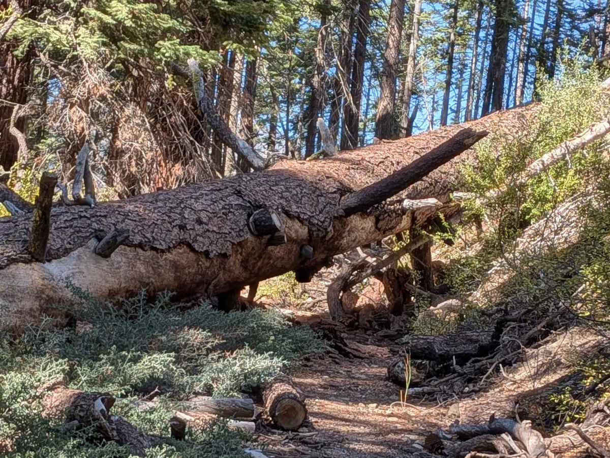
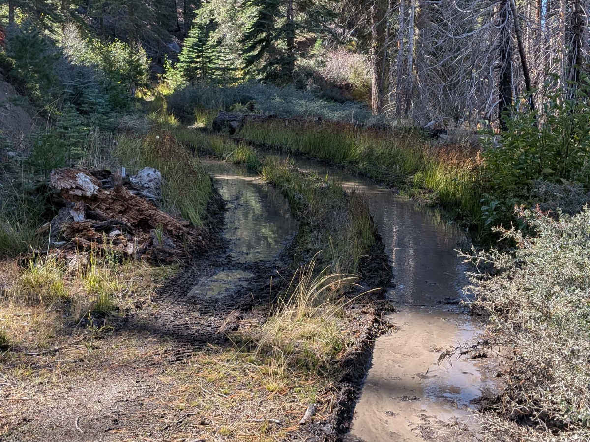
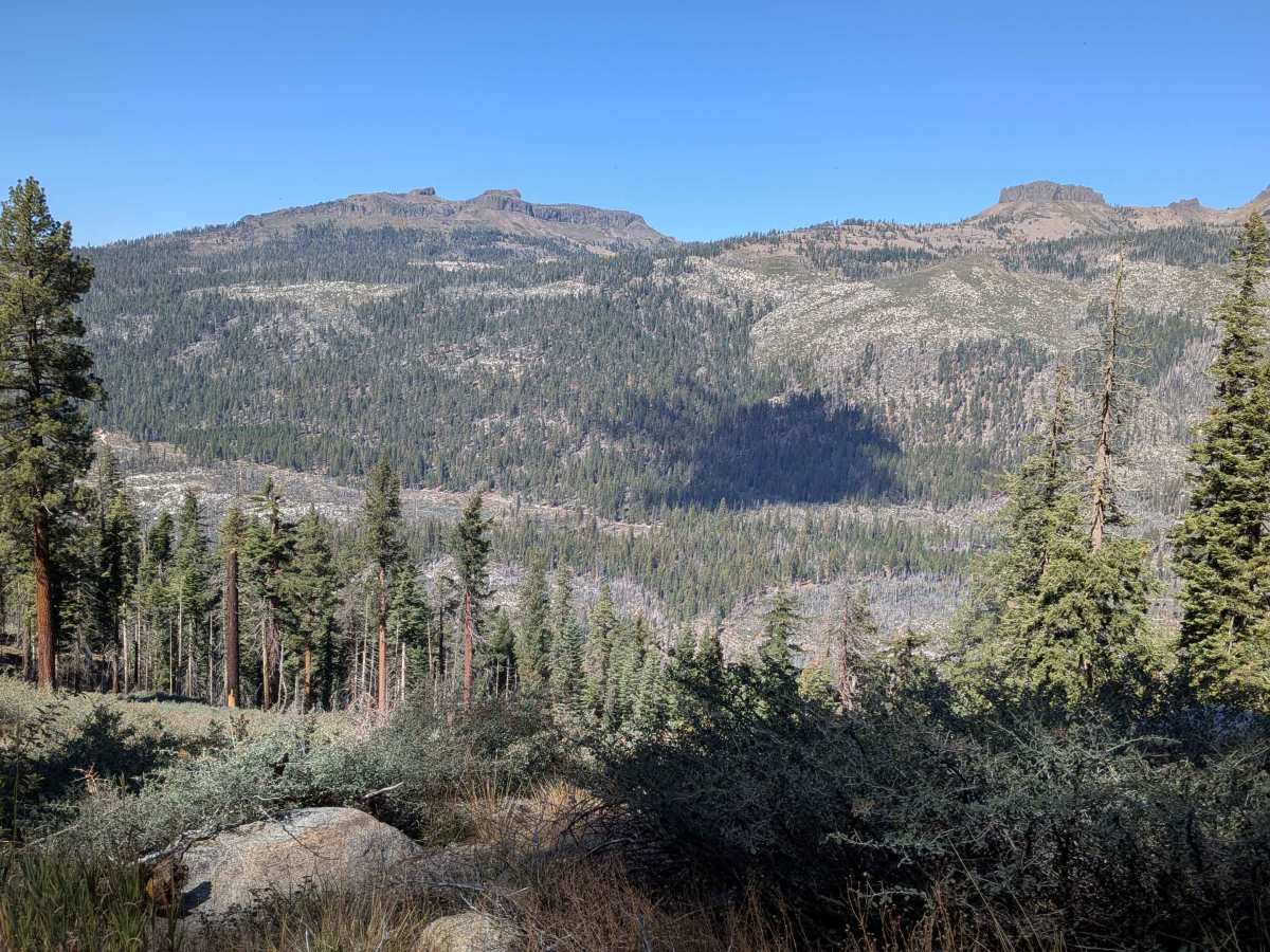
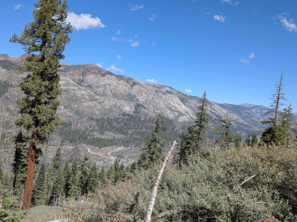
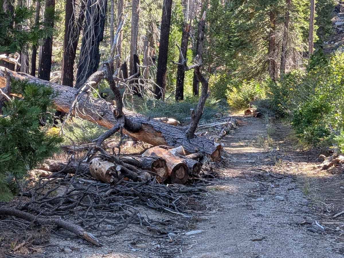
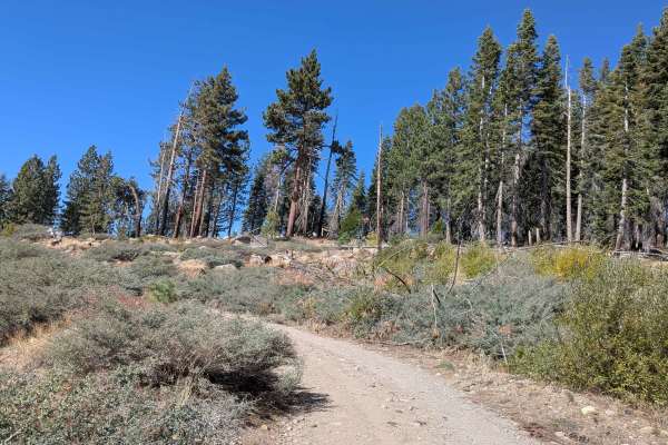
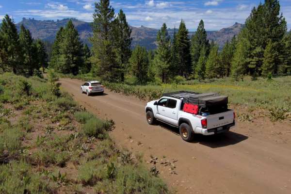
This 1.91-mile out-and-back trail starts just off Highway 108, 33 miles from 395, climbing almost 1,400 feet. The dirt and sand surface is one vehicle wide through tall pine forest. At mile 1.0, you emerge from thick forest onto a shelf with valley views. At mile 1.5, there's a water crossing. At mile 1.8, navigate tight trees and logs. The trail ends at mile 2.0 where a very large tree blocks the way with turnaround space for one vehicle. Lots of downed cut trees line the sides with occasional pull outs for passing. Mountain whitethorn with sharp needles will scratch your vehicle.
Difficulty
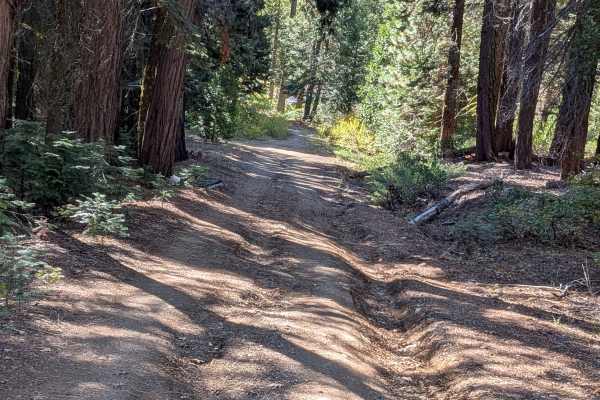
This trail features lots of ruts due to water drainage, some up to 18 inches deep, and some off-camber sections. The trail gets narrow with overgrown brush on the sides that will give you Sonora Pass pinstripes. At mile 1.8, you have to go around tight trees and over a few logs. A few sections require squeezing between downed trees where vehicles wider than a 4Runner may not fit without hitting logs. Mountain whitethorn with very sharp needles will scratch wider vehicles.