Trail Overview
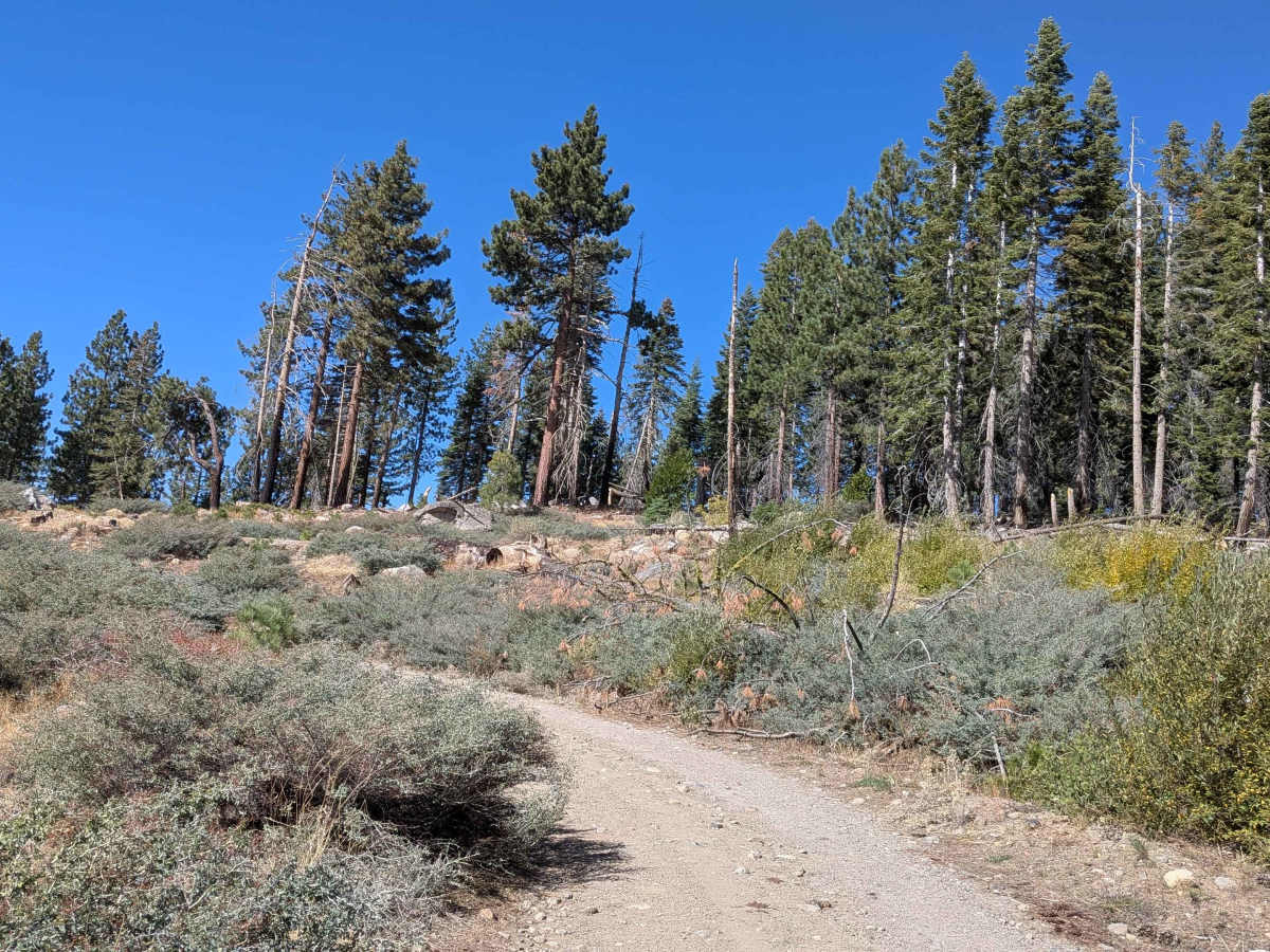
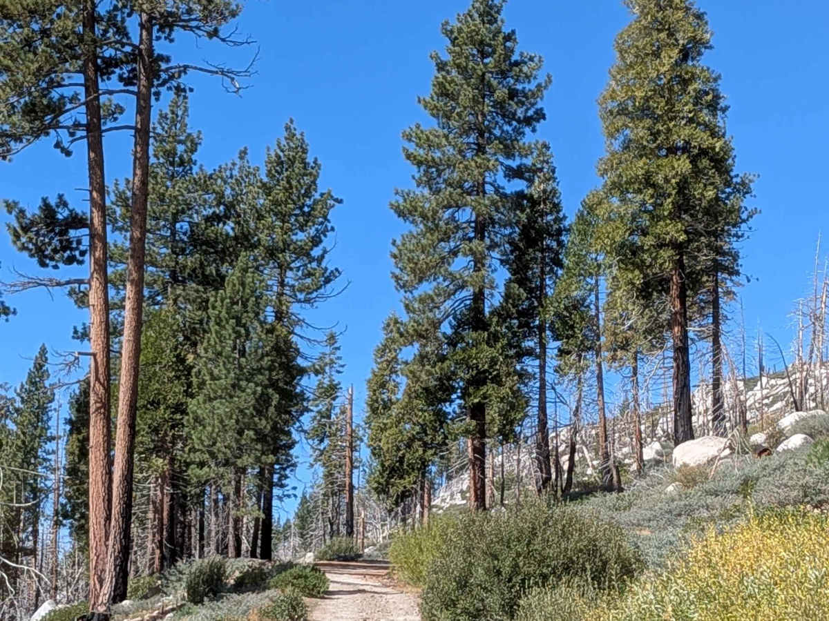
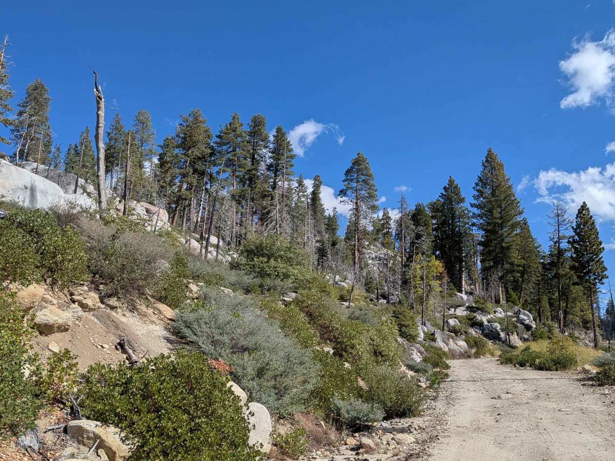
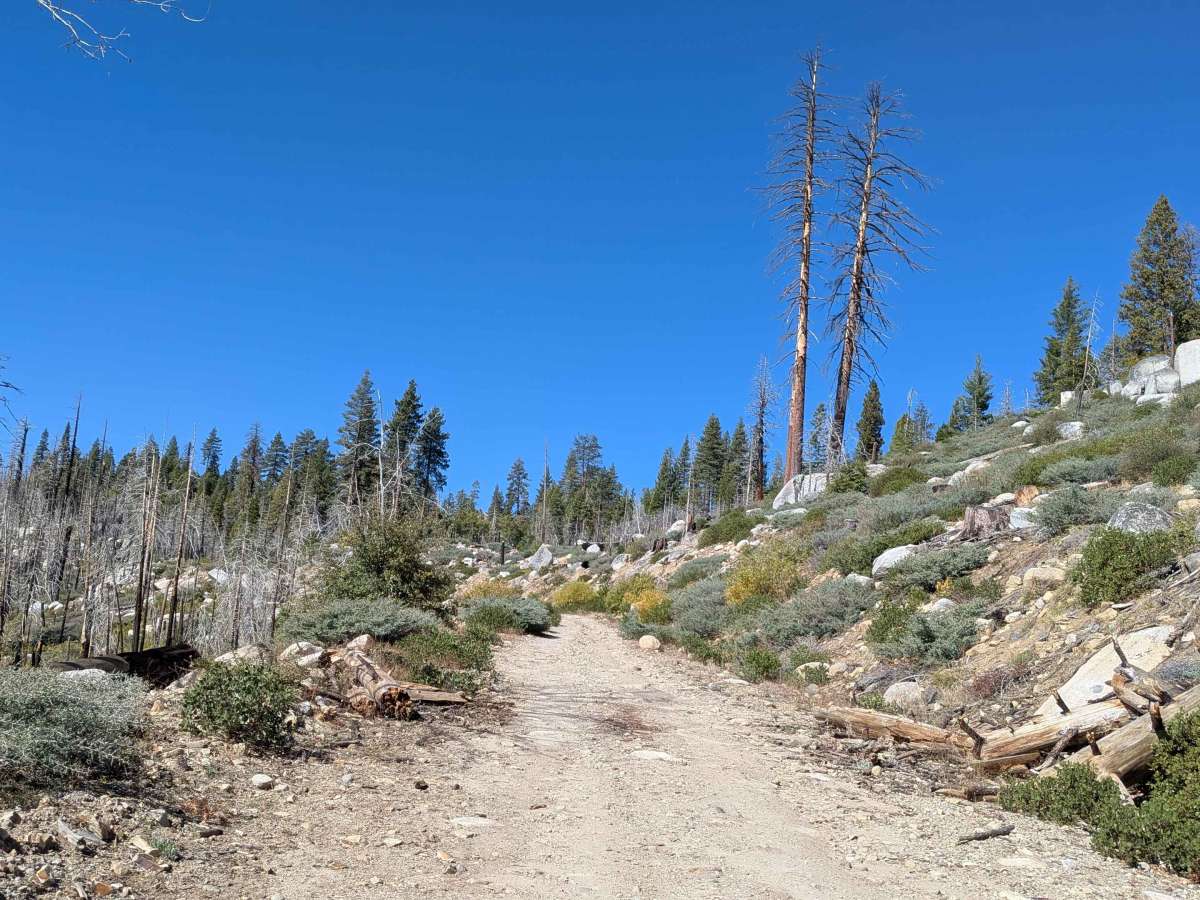
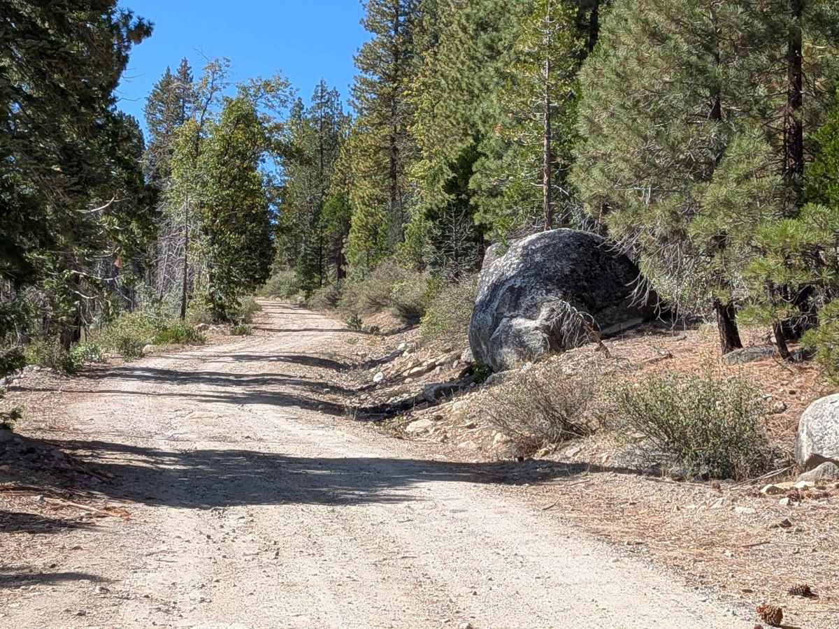
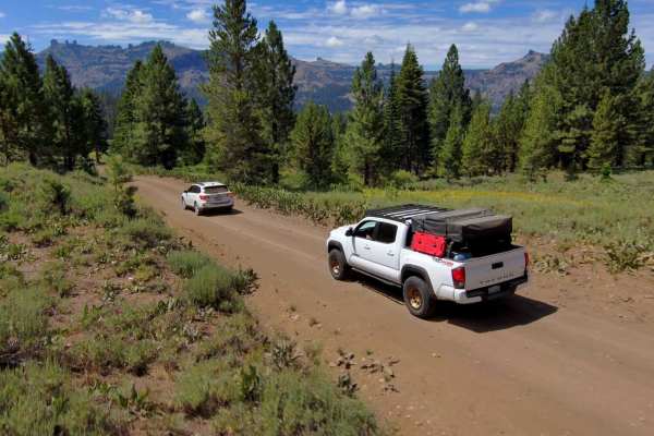
This 6.25-mile out-and-back trail starts off Clark Fork Road near Fence Creek Campground and Clark Fork Falls, climbing almost 1,700 feet. Running along Fence Creek and crossing Drew Creek, this once-paved trail is now mostly gravel and hard-packed dirt, 1.5 vehicles wide. Montgomery Meadows Trailhead sits along the route, ending at County Line Trailhead. At mile 3, the trail gets rockier with hard-packed sand and dirt. At mile 5, it gets rockier, but the views improve. The last half mile runs along a steep shelf road overlooking granite domes. The creek is popular for fishing, and the area attracts hunters in the fall.
Difficulty
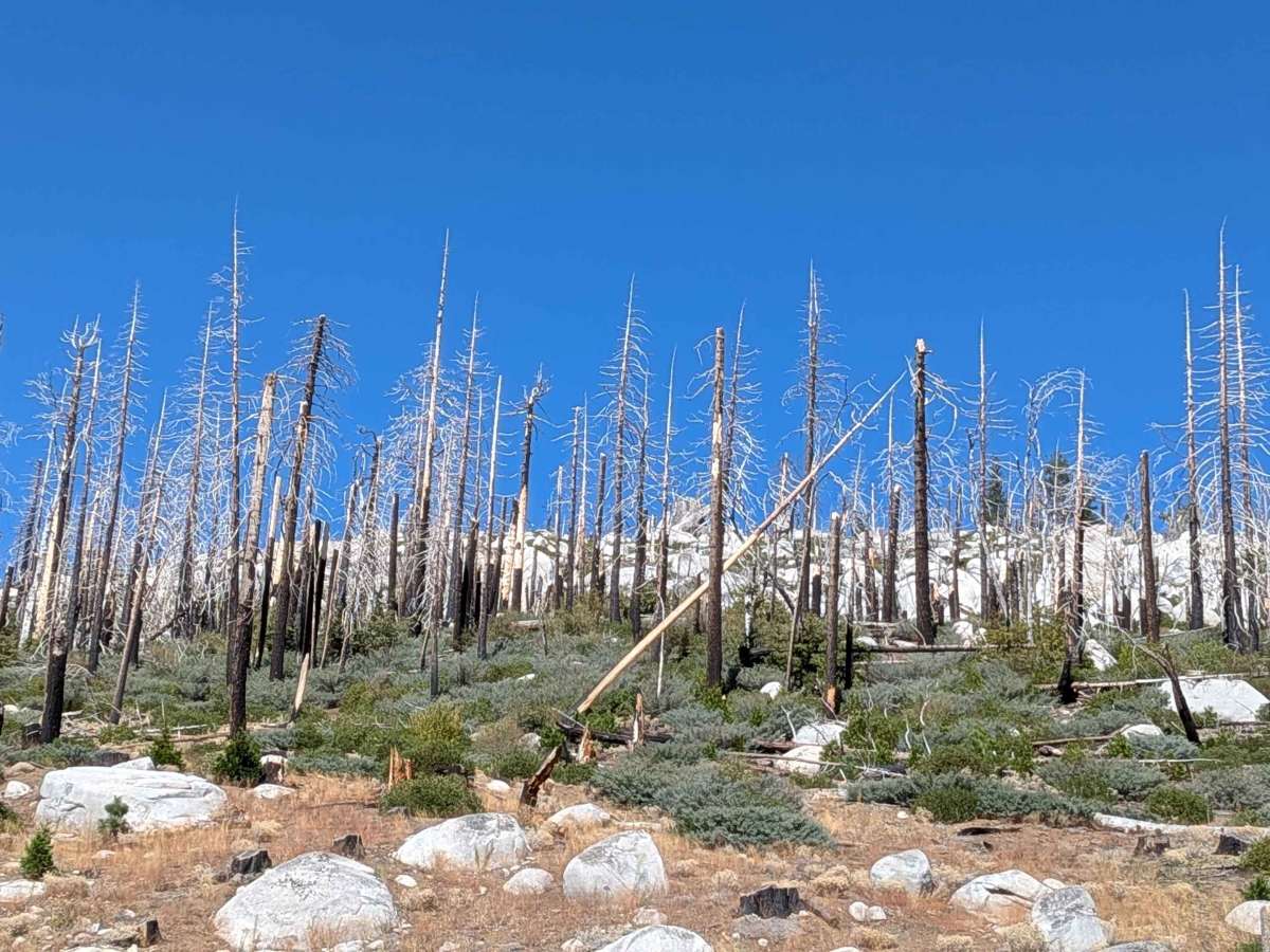
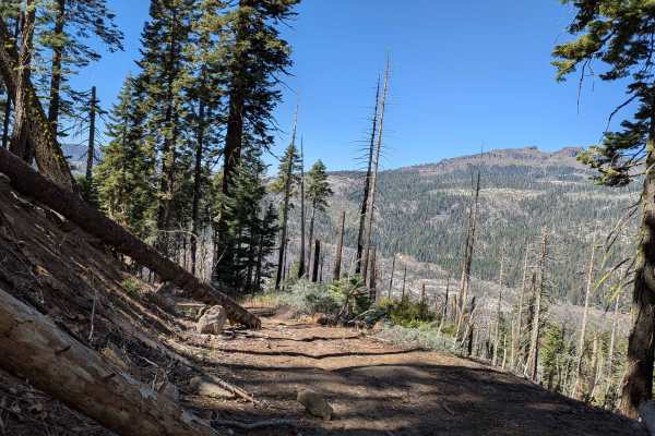
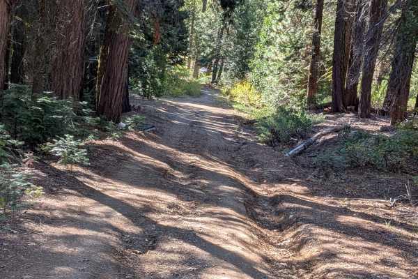
This trail features some shallow ruts due to water runoff. The trail gets slightly rockier and bumpier at mile 3, and gets even rockier at mile 5. Last half mile runs along steep shelf road. This is an old burned tree area with potential for loose rocks, flash flooding, and debris flows. Avoid during high winds, be alert for falling trees, and avoid during heavy rains. Seek high ground immediately during flooding.