Trail Overview
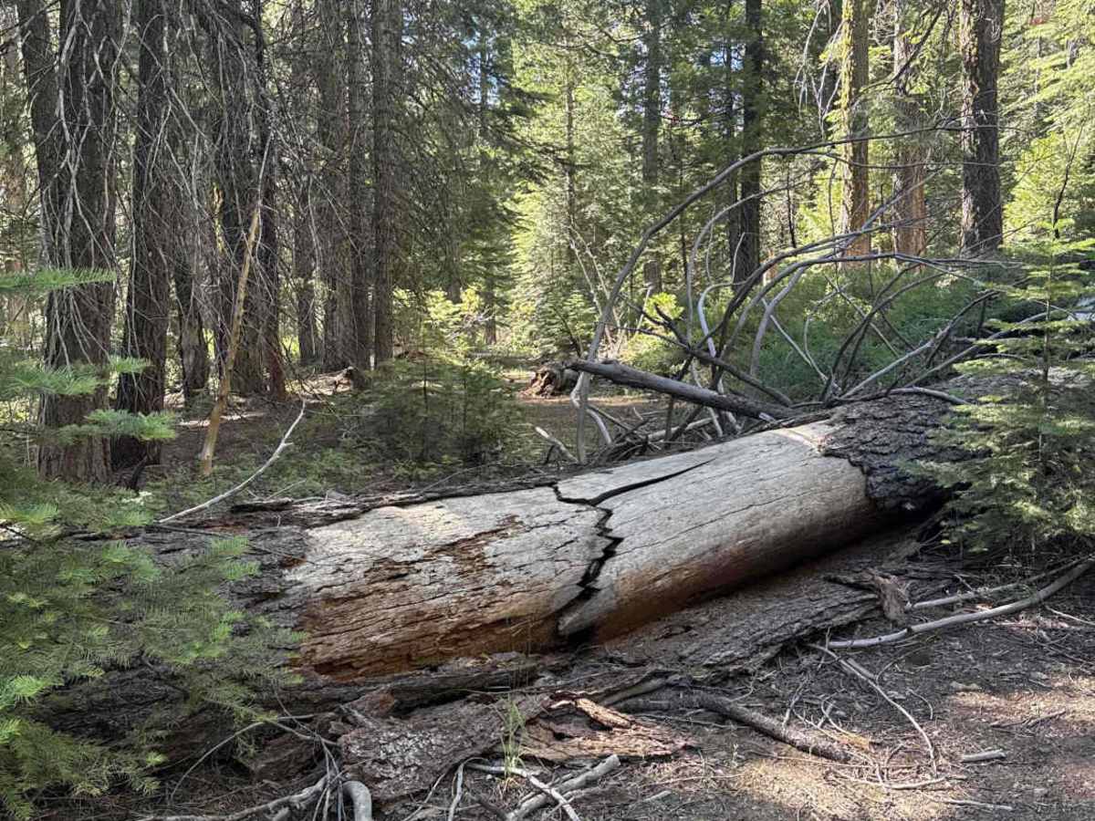
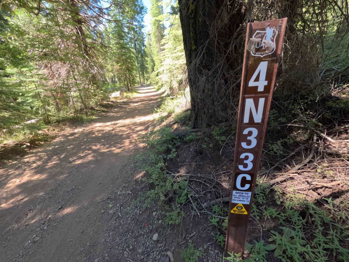
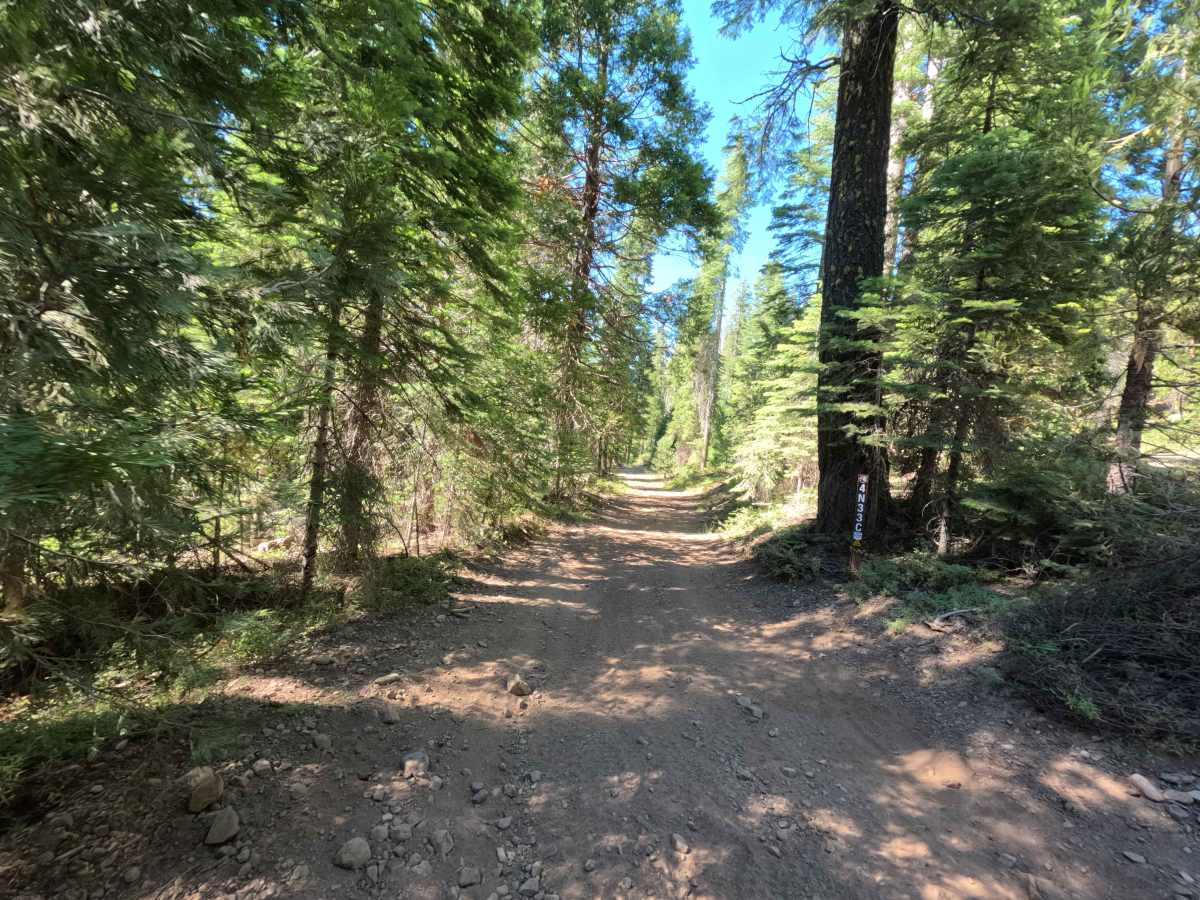
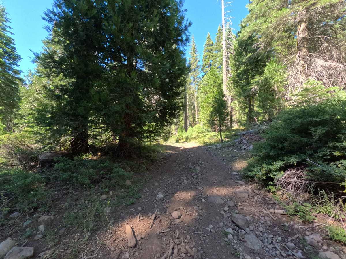
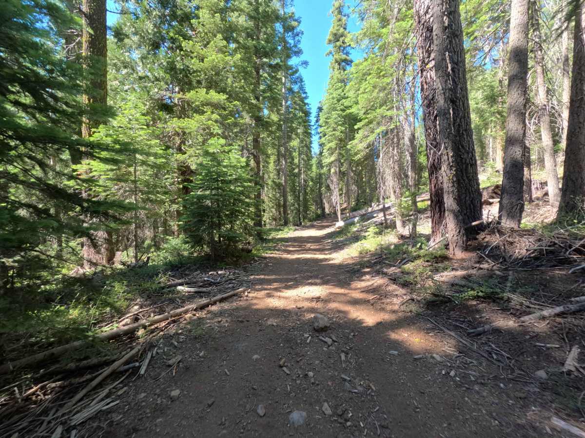
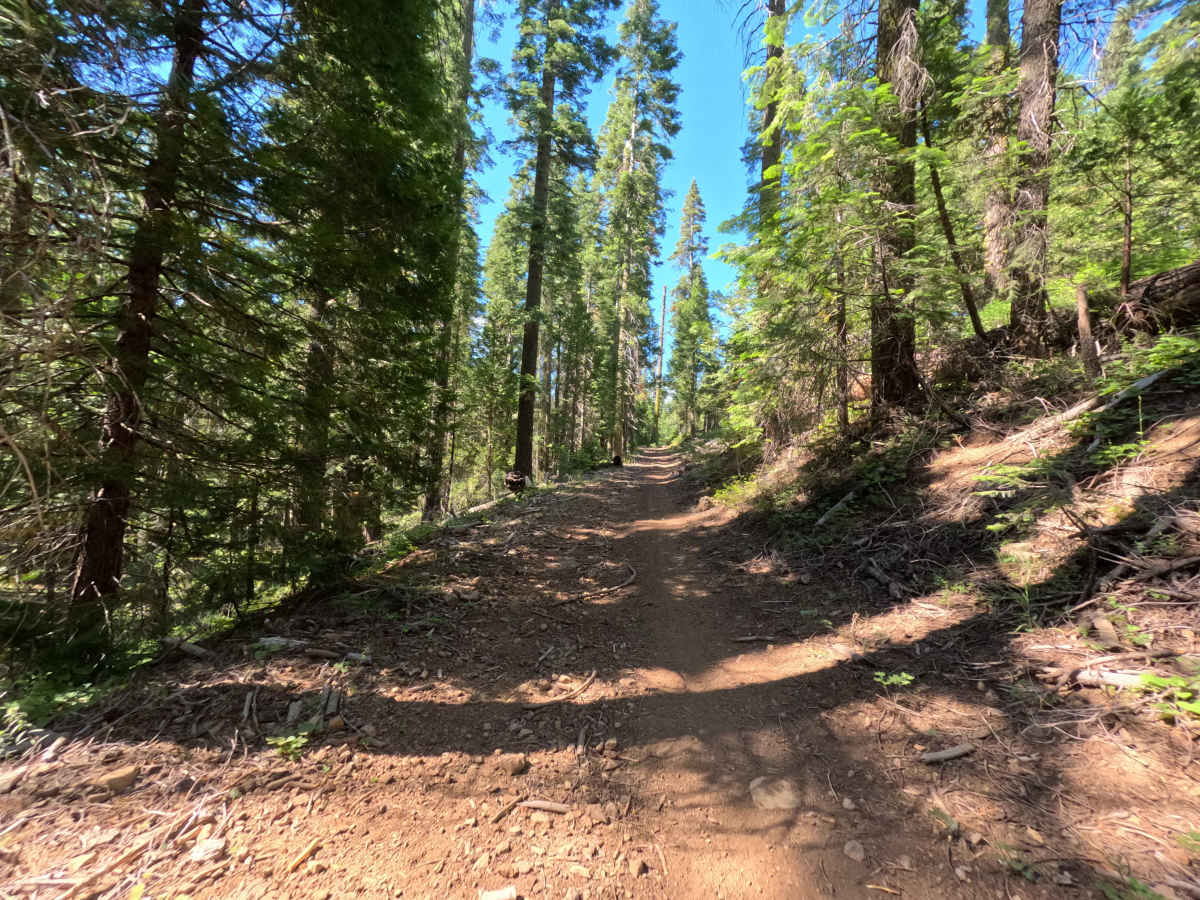
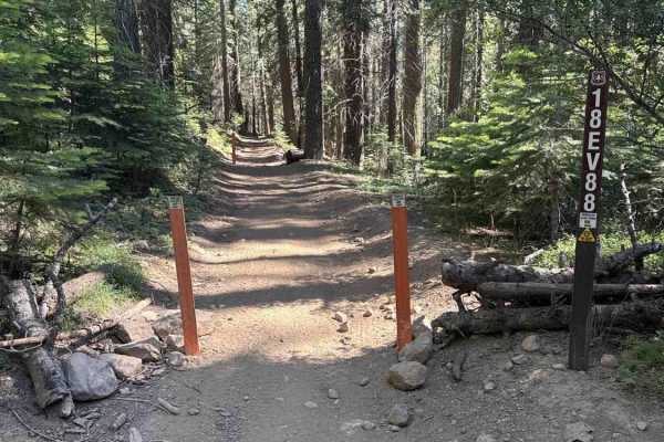
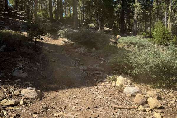
Branching off FS 4N33 in the Hull Creek area, FS 4N33C is a secluded, single-lane out-and-back forest spur climbing gently into the deep timber. Managed by Stanislaus National Forest, the trail winds through a lush, dense conifer woodland characterized by towering evergreens and vibrant ground vegetation. Featuring a firm packed-dirt bed scattered with loose rocks, shallow ruts, and minor tree debris, this scenic pathway earns a Technical Rating of 2. The route begins with a straightforward climb under heavy shade, accompanied by light brush reaching in from the shoulders. Around the midpoint, the corridor narrows as the path navigates past a fallen tree resting beside shallow ruts, followed by a mild, rocky incline. Additional downed logs along the edges create snug clearances before the road dead-ends at 0.5 miles into a dense tangle of uncleared fallen timber. Off-road travelers typically explore this quiet side route to enjoy a scenic, forested drive or to scout less-traveled tracks within the Hull Creek trail system.
Difficulty
Earning a Technical Rating of 2, this dirt spur presents an easy-to-follow driving surface with mild terrain obstacles. Drivers will encounter intermittent loose rocks, shallow water ruts, and gentle uphill slopes that require consistent momentum and attentive steering. Encroaching branches along the edges can cause light vehicle pinstriping, while roadside downed logs create narrow pinch points that demand careful tire placement. The trail ends abruptly at 0.5 miles due to impassable fallen trees, requiring a slow, tight multi-point turnaround to retrace the route out.