Trail Overview
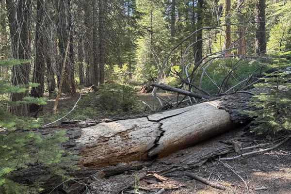
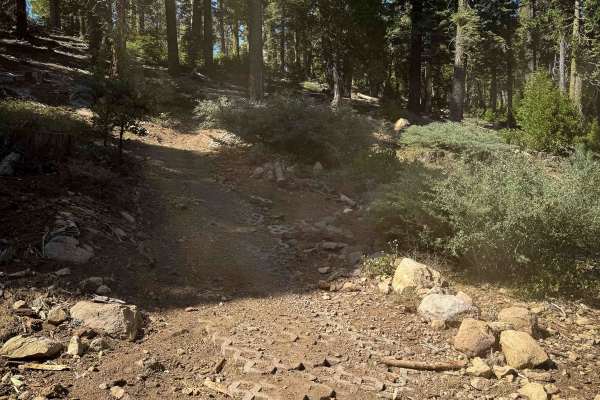
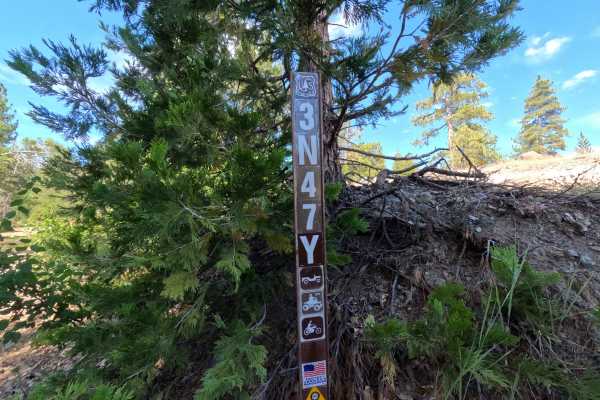
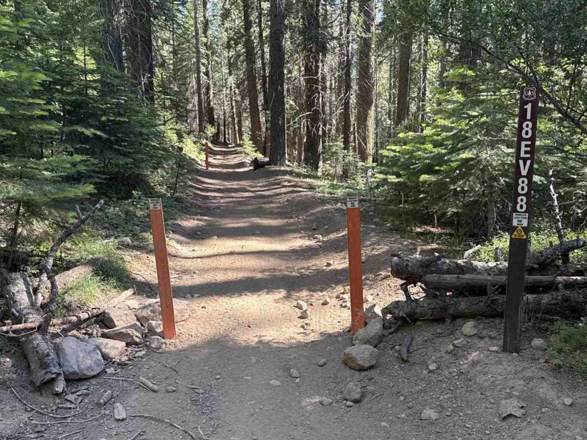
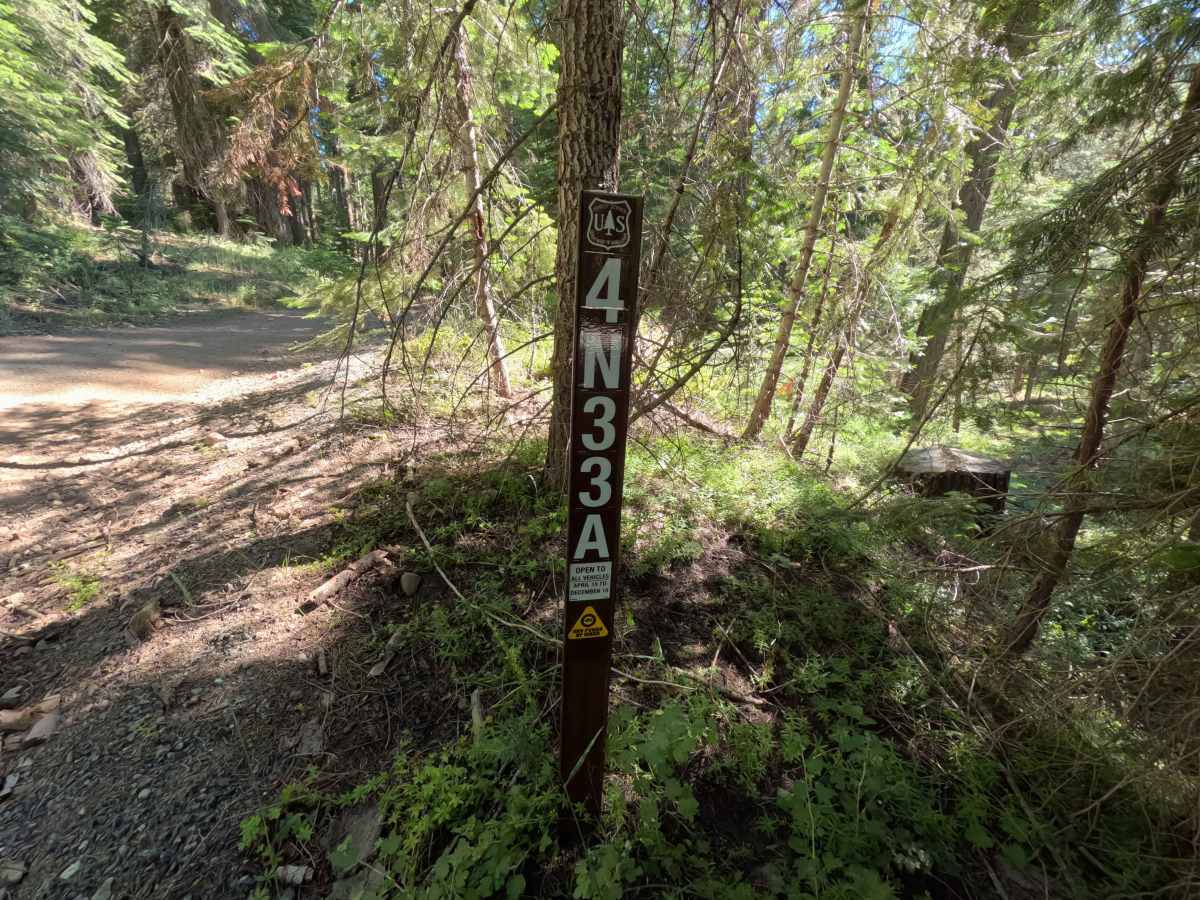
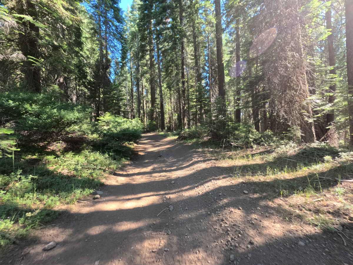
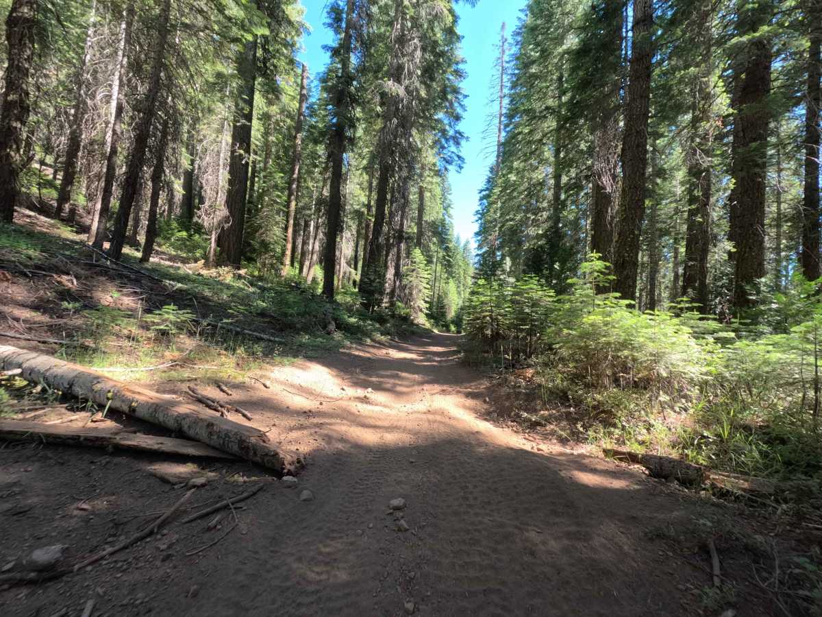
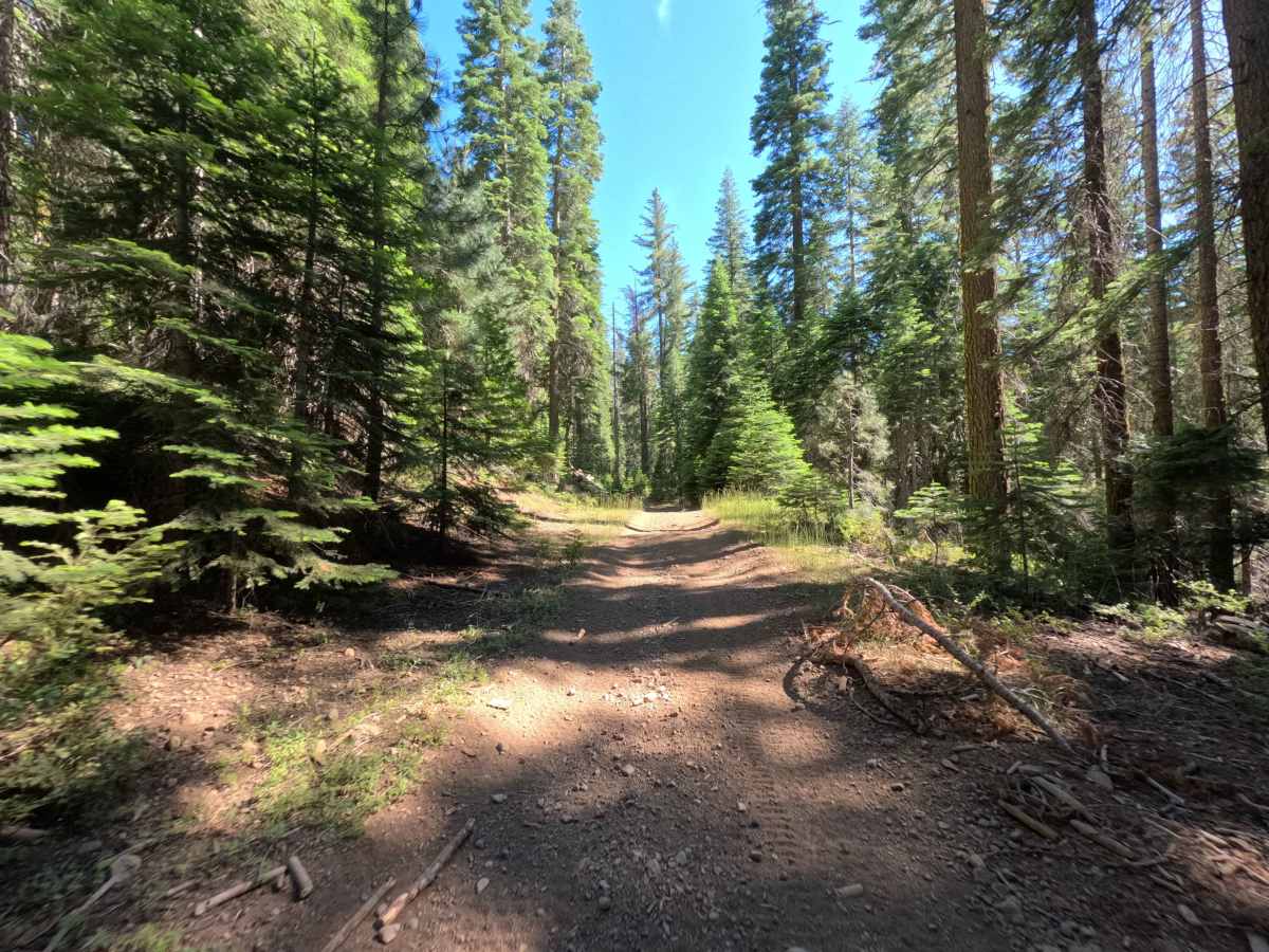
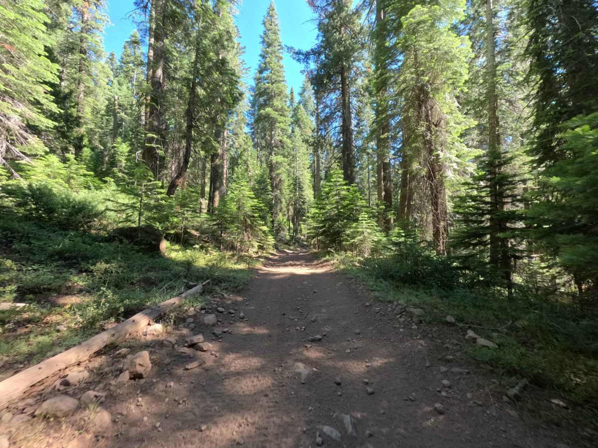
Branching directly off FS 4N33, FS 4N33A is a peaceful, single-lane out-and-back forest spur that winds beneath towering timber. Managed by Stanislaus National Forest, the trail traverses a vibrant, lush evergreen environment shaded by dense stands of pine and fir with thick forest undergrowth. The roadbed consists of firm packed dirt interspersed with scattered loose rock and small embedded stones, earning a manageable Technical Rating of 2. Fallen logs and timber debris have been cleared to the shoulders, leaving a clean driving line with only occasional light brush brushing the corridor edges. The route contains no developed dispersed camping sites, preserving a quiet and undisturbed natural setting. At the 1.0-mile mark, the road reaches a set of orange width-restriction posts and trail signage for FS 18EV88, restricting forward travel strictly to OHVs 50 inches wide or narrower. Off-road travelers explore this scenic route to enjoy a tranquil woodland drive or to reach the staging area for narrower motorized trail networks.
Difficulty
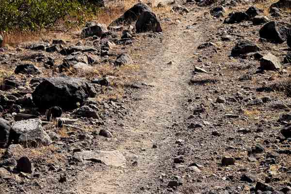
Earning a Technical Rating of 2, this forest spur features an easy-to-follow dirt surface with mild terrain variations. Intermittent rocky sections and small loose stones create minor uneven patches that require attentive steering and steady momentum. Light brush along the narrower segments may cause faint cosmetic paint scuffs. At the 1.0-mile terminus, fixed barrier posts strictly limit ongoing travel to vehicles 50 inches in width or less, requiring all standard-width vehicles to complete a turnaround and retrace the trail back to the main road.

 Offroad