Trail Overview
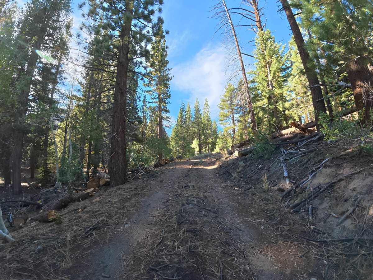
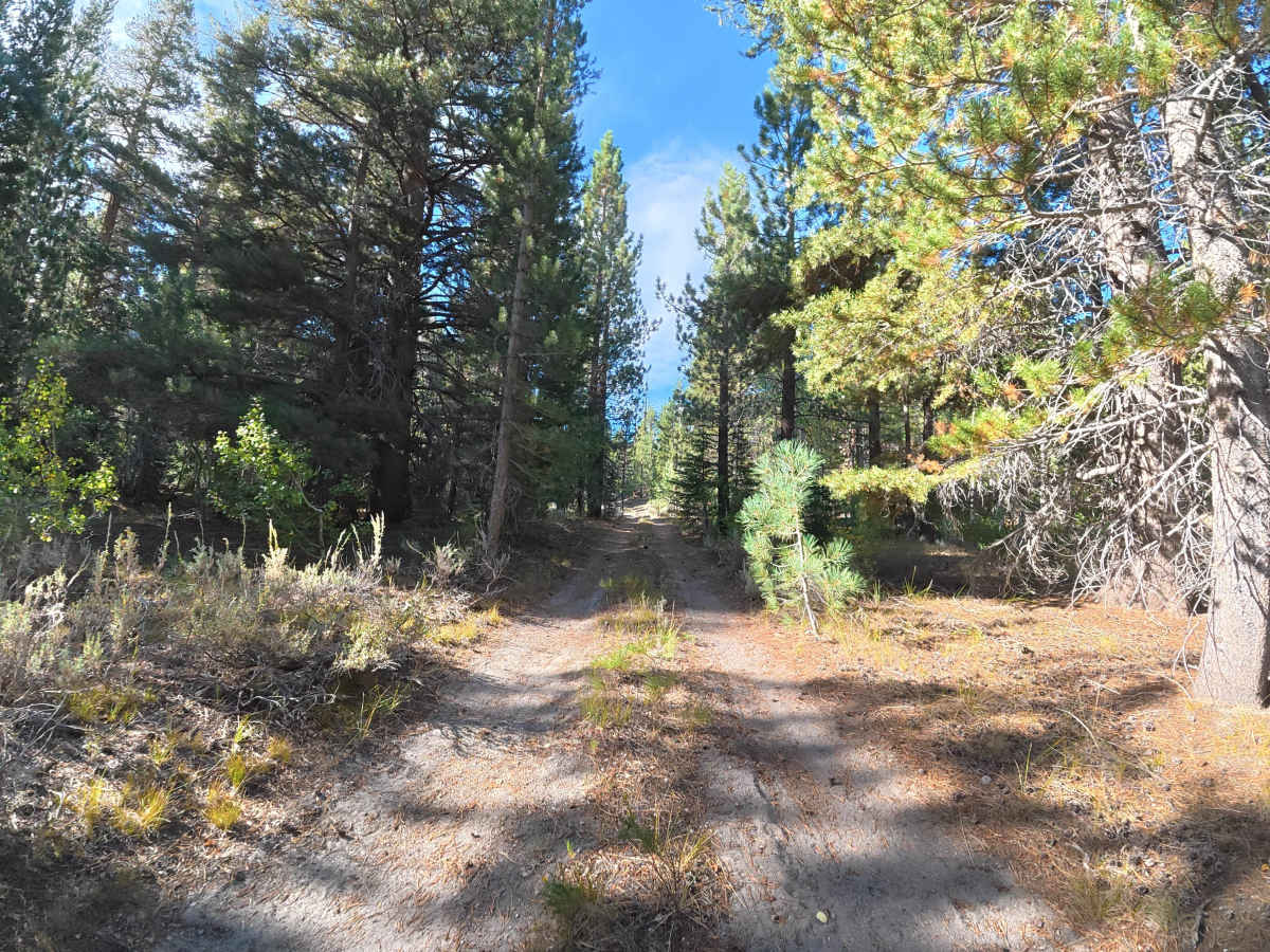
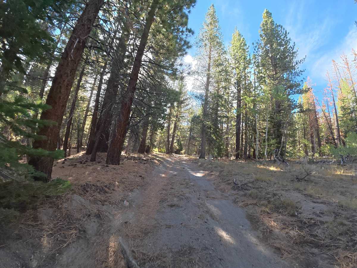
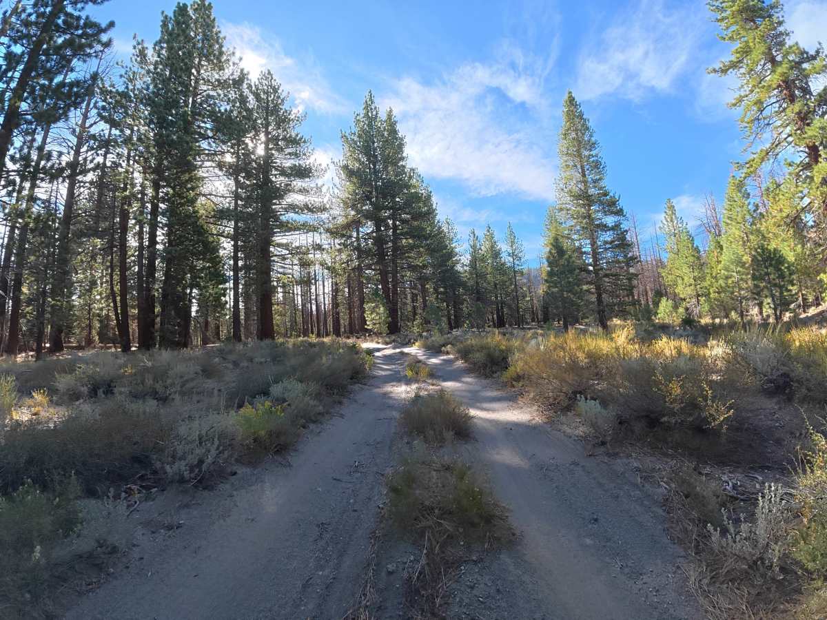
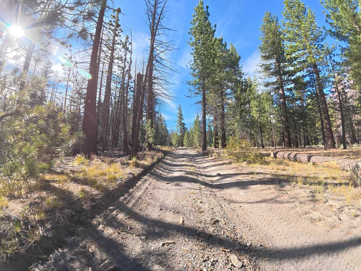
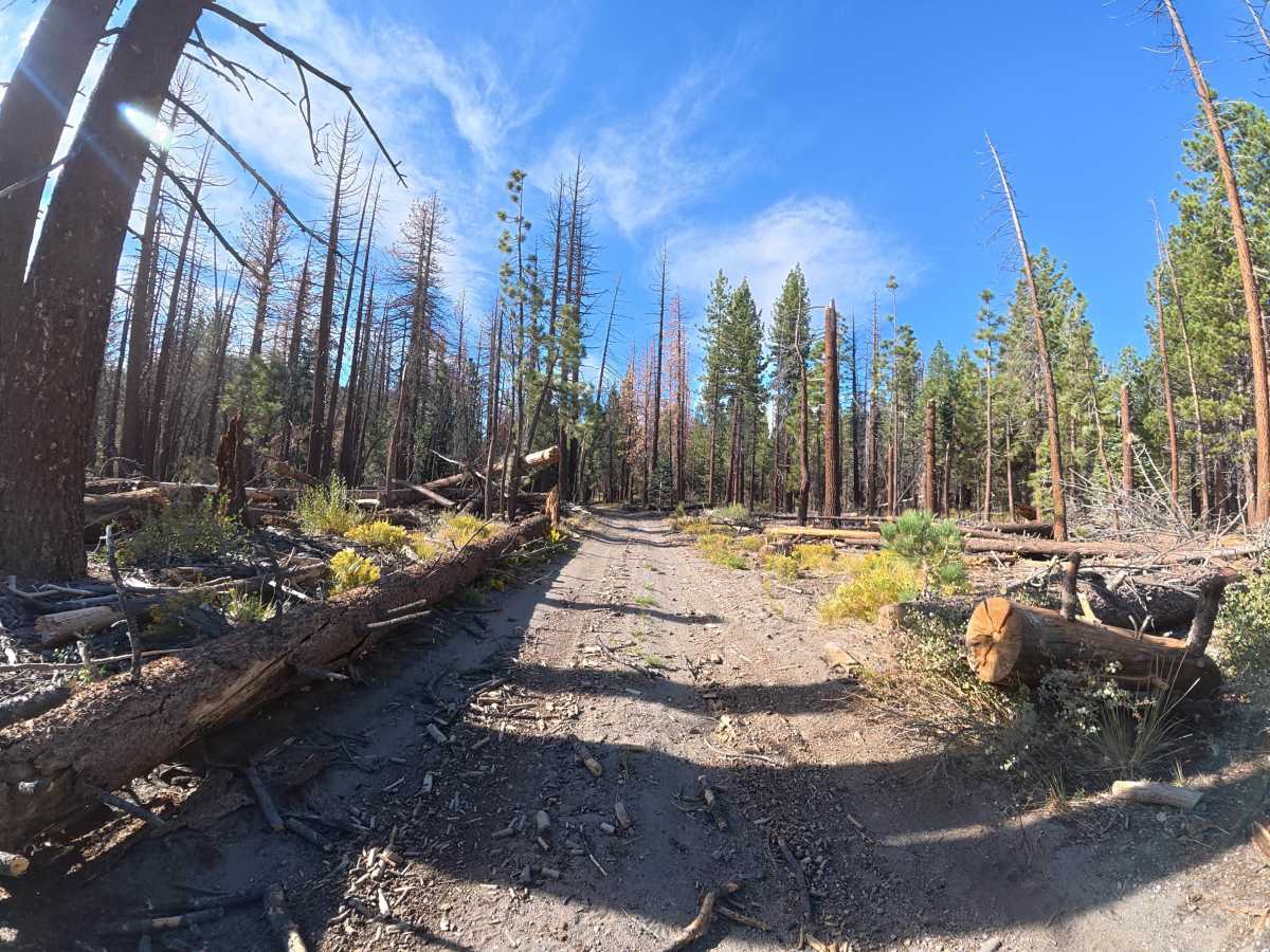
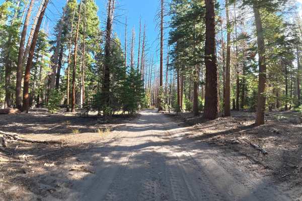
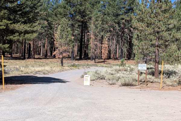
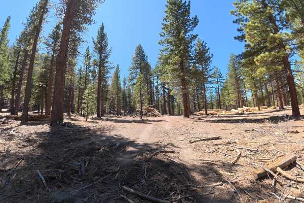
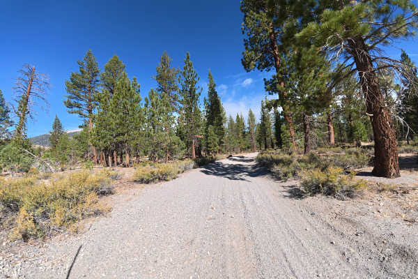
This fine, loose-dirt trail travels through a dense forest with 5–8-inch ruts and turns reaching up to 8° off-camber. Overgrown vegetation and branches occasionally narrow the route, although pinstriping can generally be avoided in narrower vehicles with careful driving. Around 0.1 miles, a large, shaded campsite accommodates up to six vehicles and features a fire ring. More than six campsites are available along this short route. Around 0.8 miles, a large fallen tree completely blocks the trail and prevents further vehicle travel.
Difficulty
This trail is rated Level 2 because of the 5–8-inch ruts, turns reaching 8° off-camber, and occasional narrow vegetation. There are no significant obstacles before the fallen tree, making it an easy route when conditions are dry.
History
Inyo National Forest was established in 1907 and today protects a vast section of the Eastern Sierra surrounding Mammoth Lakes. The area has a long history of Native American use, mining, ranching, and recreation, while its dramatic landscape was shaped by volcanic activity, glaciers, and the uplift of the Sierra Nevada.