Trail Overview
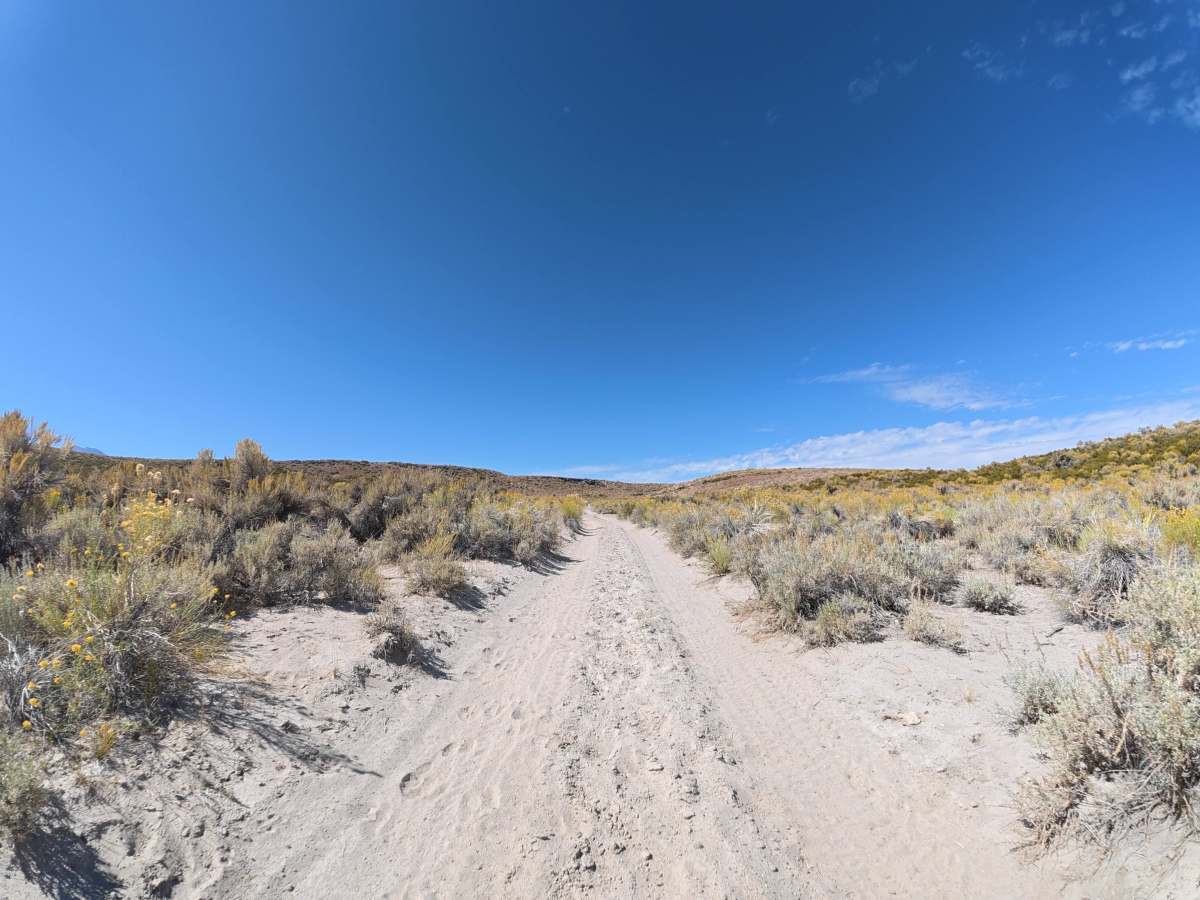
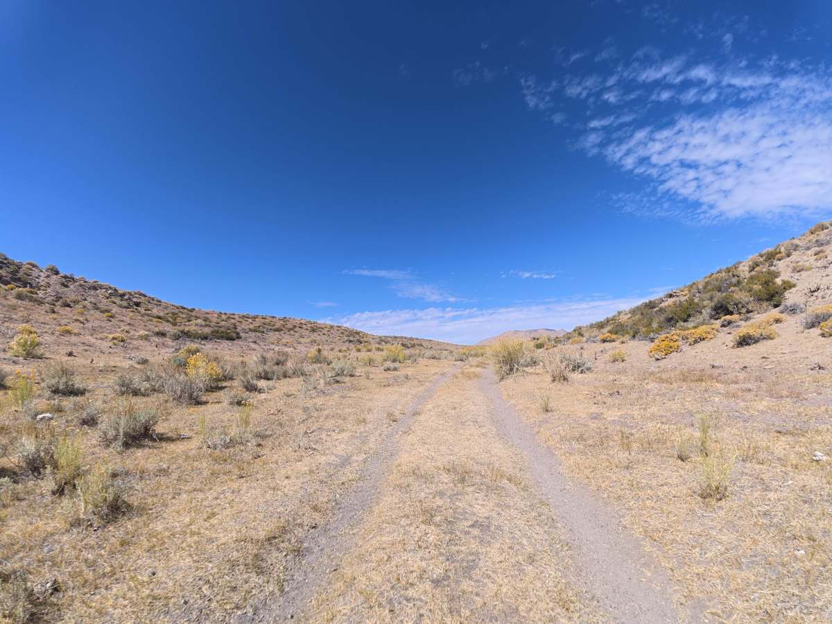
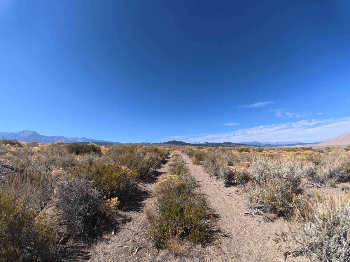
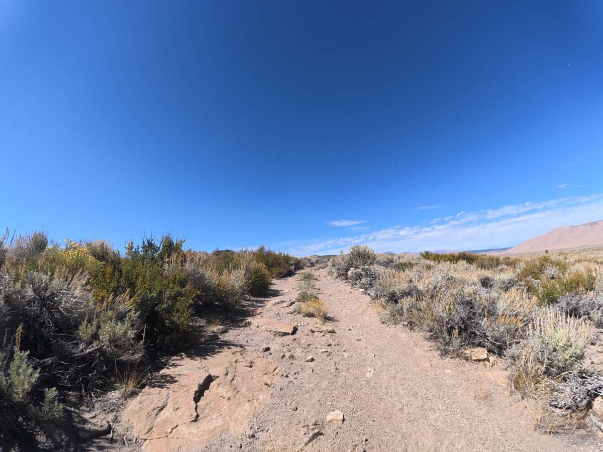
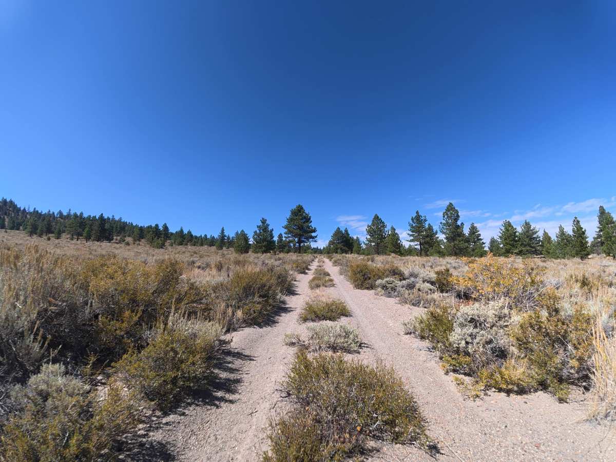
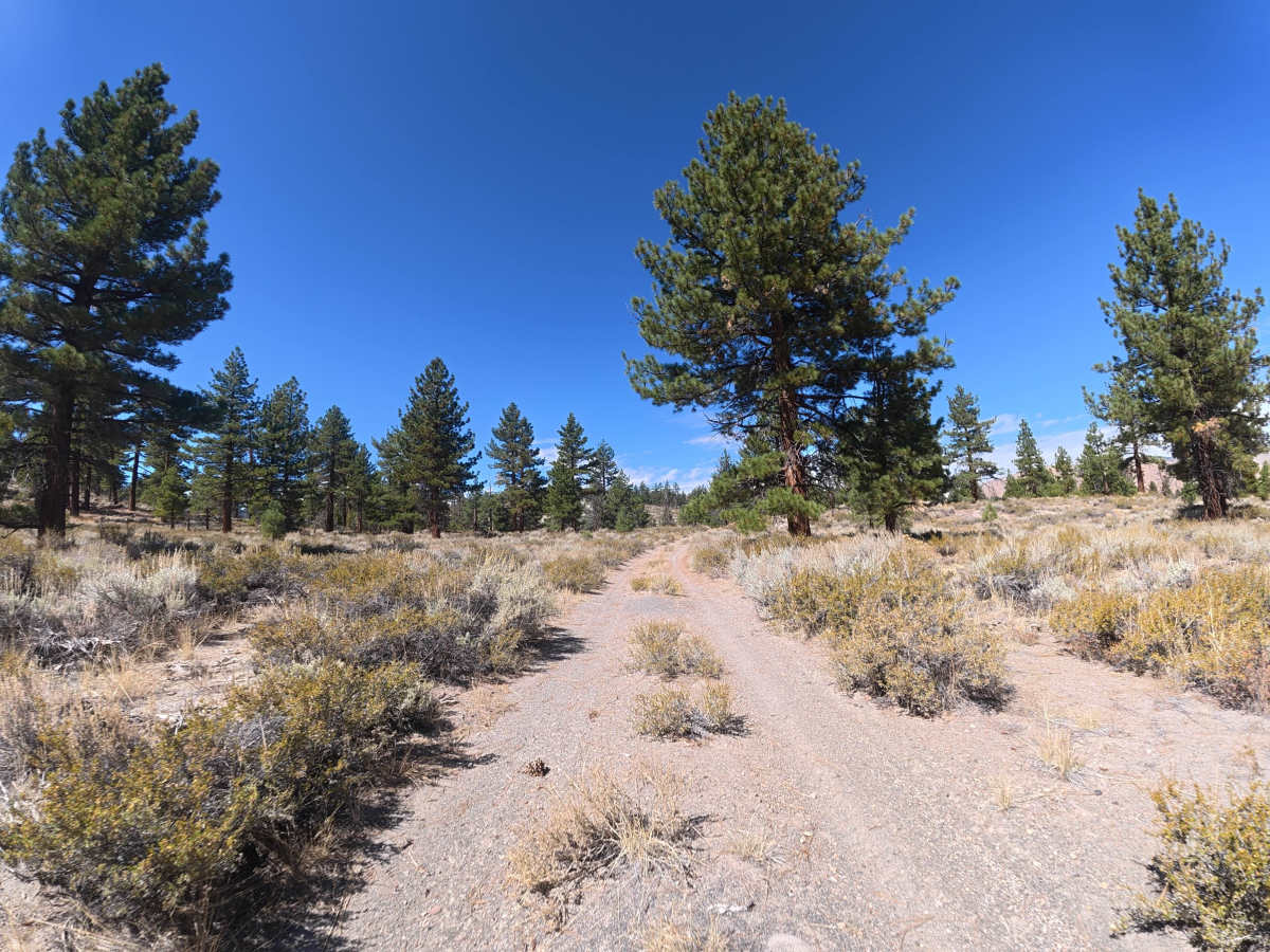
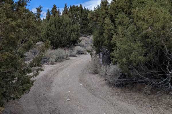
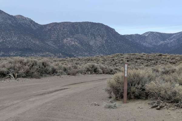
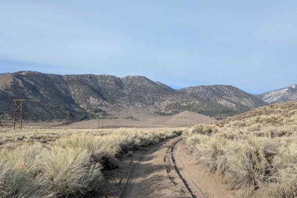
This narrow trail begins off Owens River Road on BLM land before continuing into Inyo National Forest. The surface consists of very fine, loose dirt similar to sand, with 5–6 inch ruts through the rolling hills. Overgrown vegetation is common, although pinstriping is generally avoidable with careful driving. Around 0.4 miles, the trail reaches higher terrain with expansive views of the surrounding public lands and mountain range to the north. After entering denser forest, expect 5–8 inch rock ledges and rock gardens with 4–5 inch rocks. At least 12 inches of front-end clearance is required.
Difficulty
This trail is rated Level 2 because of the 5–6-inch ruts, 5–8-inch rock ledges, loose sandy dirt, and small rock gardens. 4WD or AWD is not necessary when dry, although wet conditions can significantly reduce traction.
History
Inyo National Forest was established in 1907 and today protects a vast section of the Eastern Sierra surrounding Mammoth Lakes. The area has a long history of Native American use, mining, ranching, and recreation, while volcanic activity, glaciers, and the uplift of the Sierra Nevada shaped its dramatic landscape.