FS 3S135

Total Miles2.7
Technical Rating
2Easy
Best TimeFall, Summer
Trail TypeFull-Width Road
Accessible By
Open Trail Map

Trail Overview

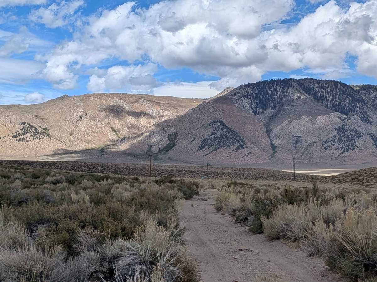
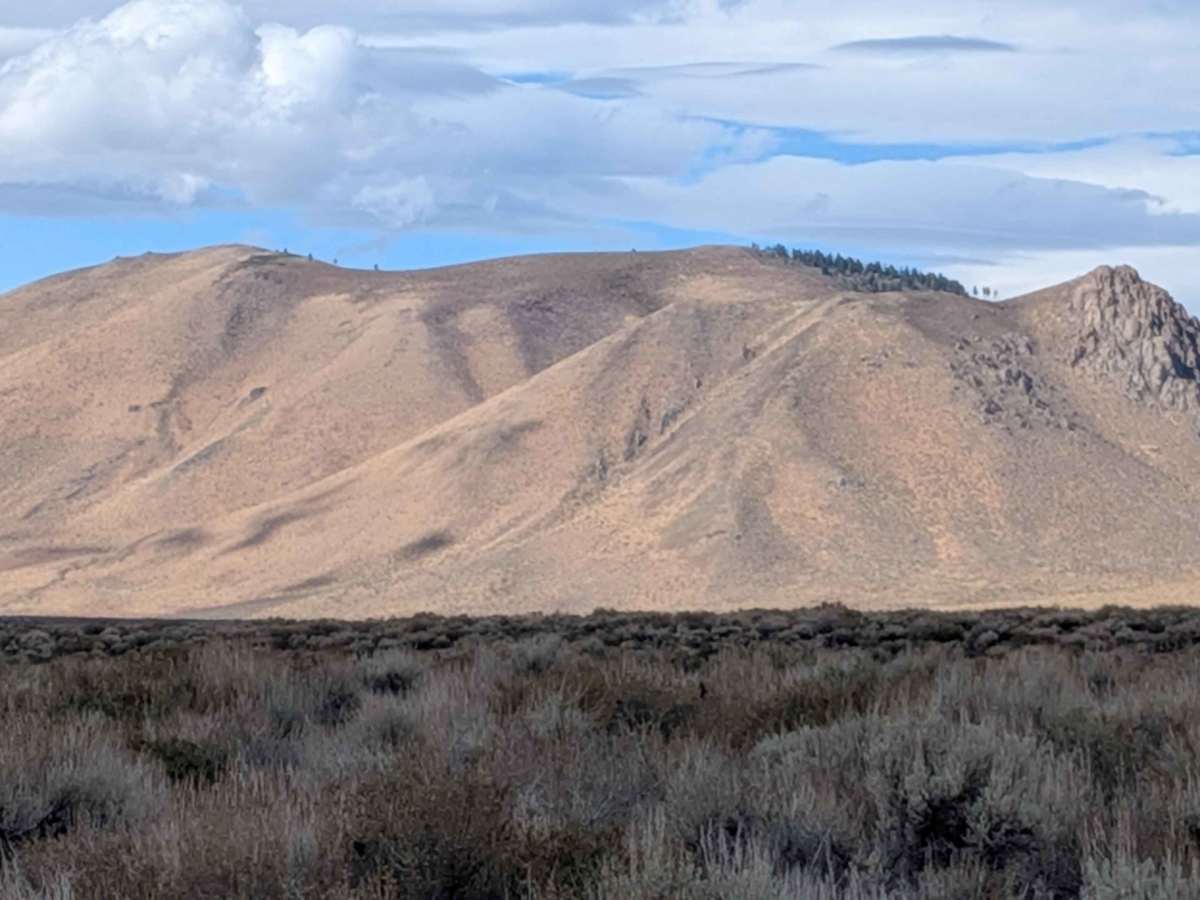
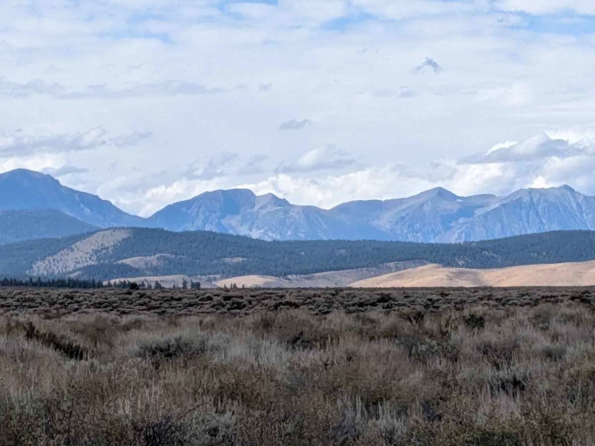
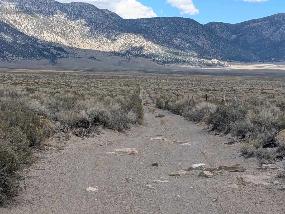
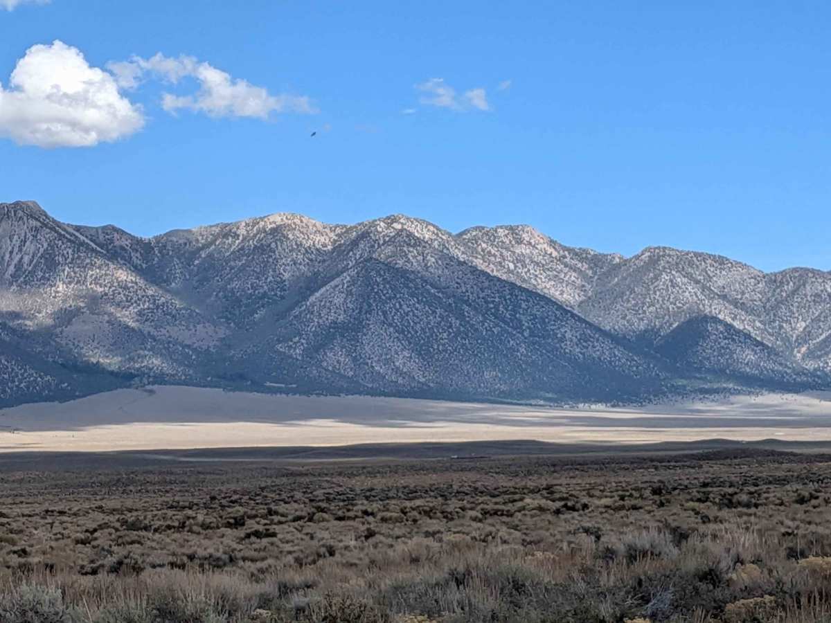
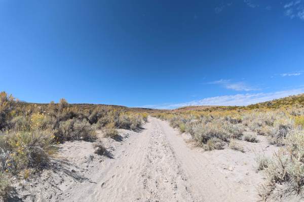
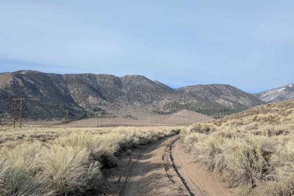
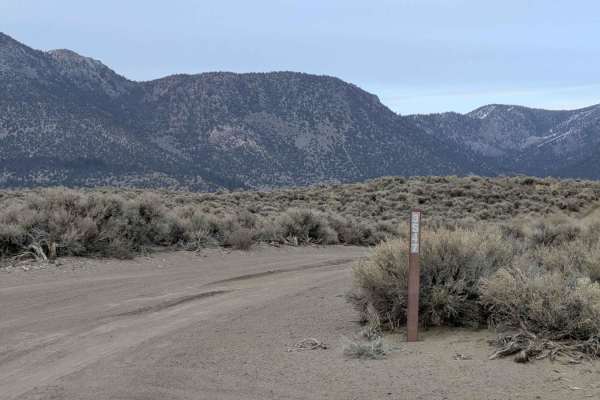
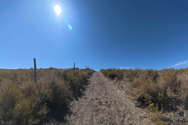
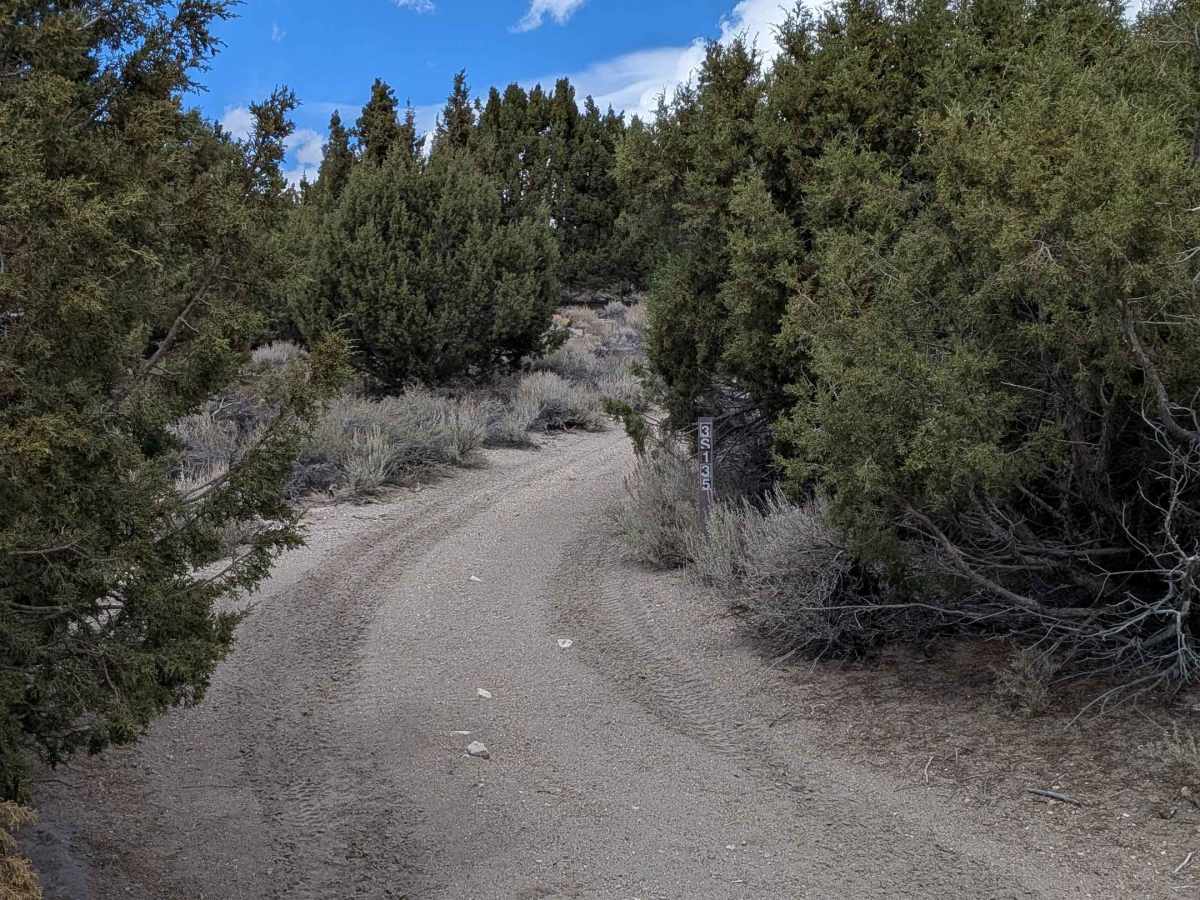
This over 2-mile trail runs from Owens River Road to the Little Hot Creek area, climbing 113 feet and dropping 340 feet along the way. The surface is sandy with scattered small rocks and some ruts throughout. I encountered a couple of sections with small rock ledges, all under 12 inches. The trail is narrow and heavily lined with sharp, thick brush and small trees that will definitely leave Sierra pinstripes on your vehicle. Overgrown bushes encroach into the median, so low-clearance vehicles will rub. Despite the tight quarters, the scenery is excellent with views of the Eastern Sierra Mountains, White Mountains, and Bald Mountain.

Photos of FS 3S135

Difficulty

This is an easy trail from a technical standpoint. The small rock ledges are minimal, and the sandy surface is straightforward to navigate. The main challenge isn't difficulty but rather the narrow width and aggressive brush that will scratch your paint. If you're particular about your vehicle's finish, this might not be the trail for you.

Technical Rating

2

FS 3S135 Trail can be accessed by the following ride types:

  • Single Track
  • 50 Inch
  • 60 Inch
  • High Clearance
  • Full Width

FS 3S135 Map

The onX Offroad Difference

onX Offroad combines trail photos, descriptions, difficulty ratings, width restrictions, seasonality, and more in a user-friendly interface. Available on all devices, with offline access and full compatibility with CarPlay and Android Auto. Discover what you're missing today!

Open Trail Map