Trail Overview
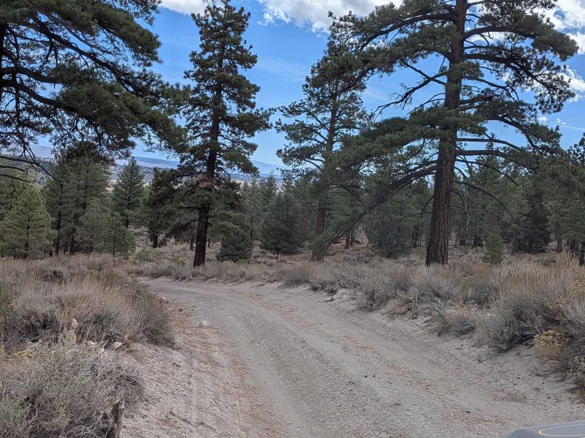
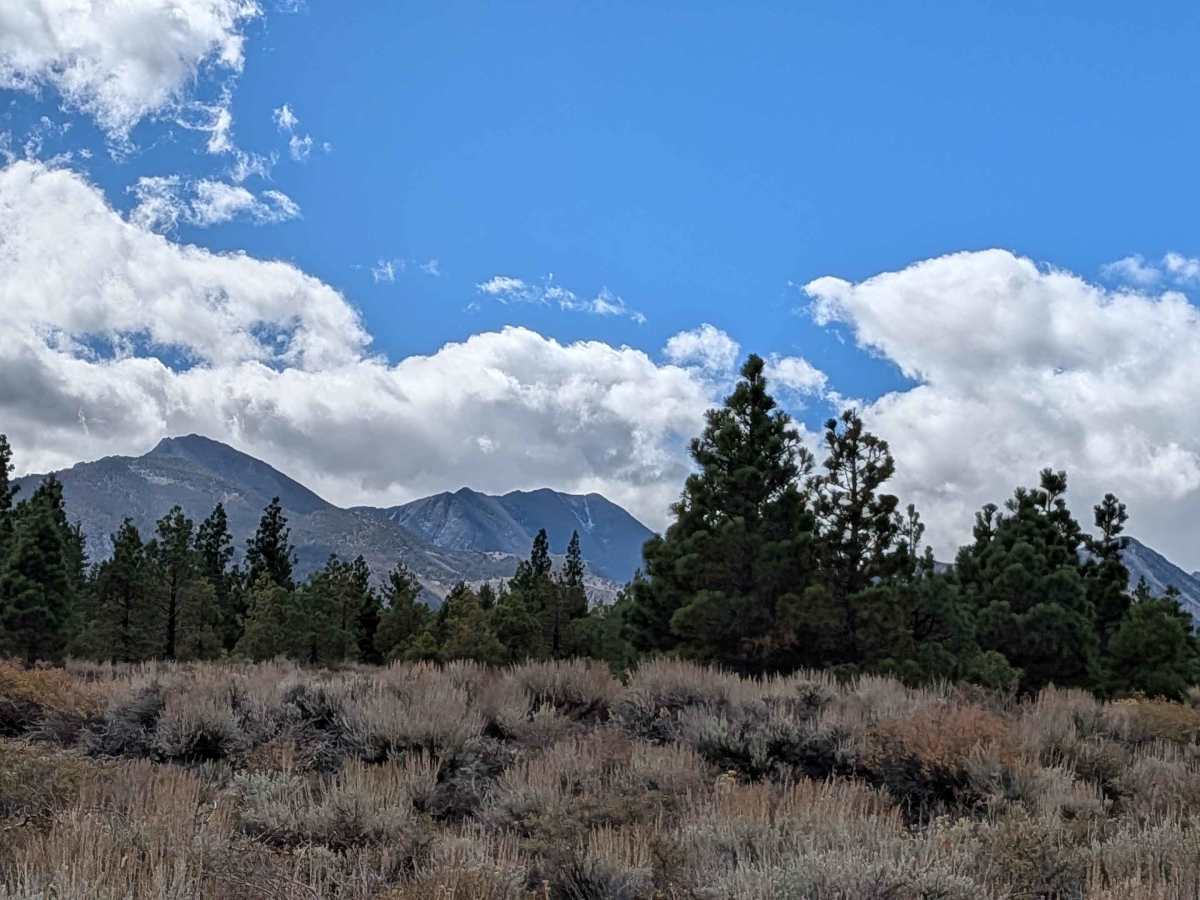
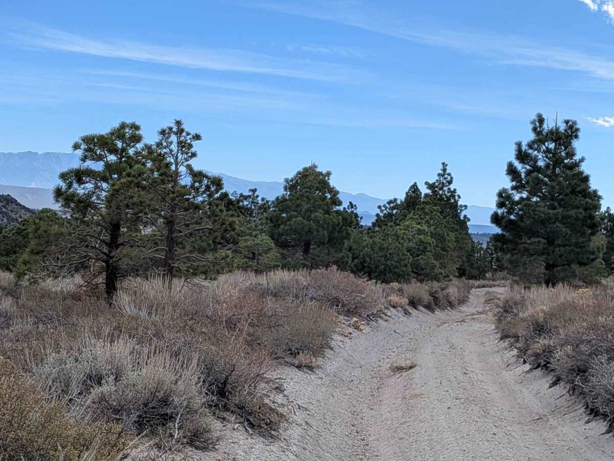
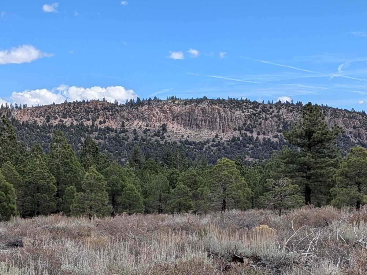
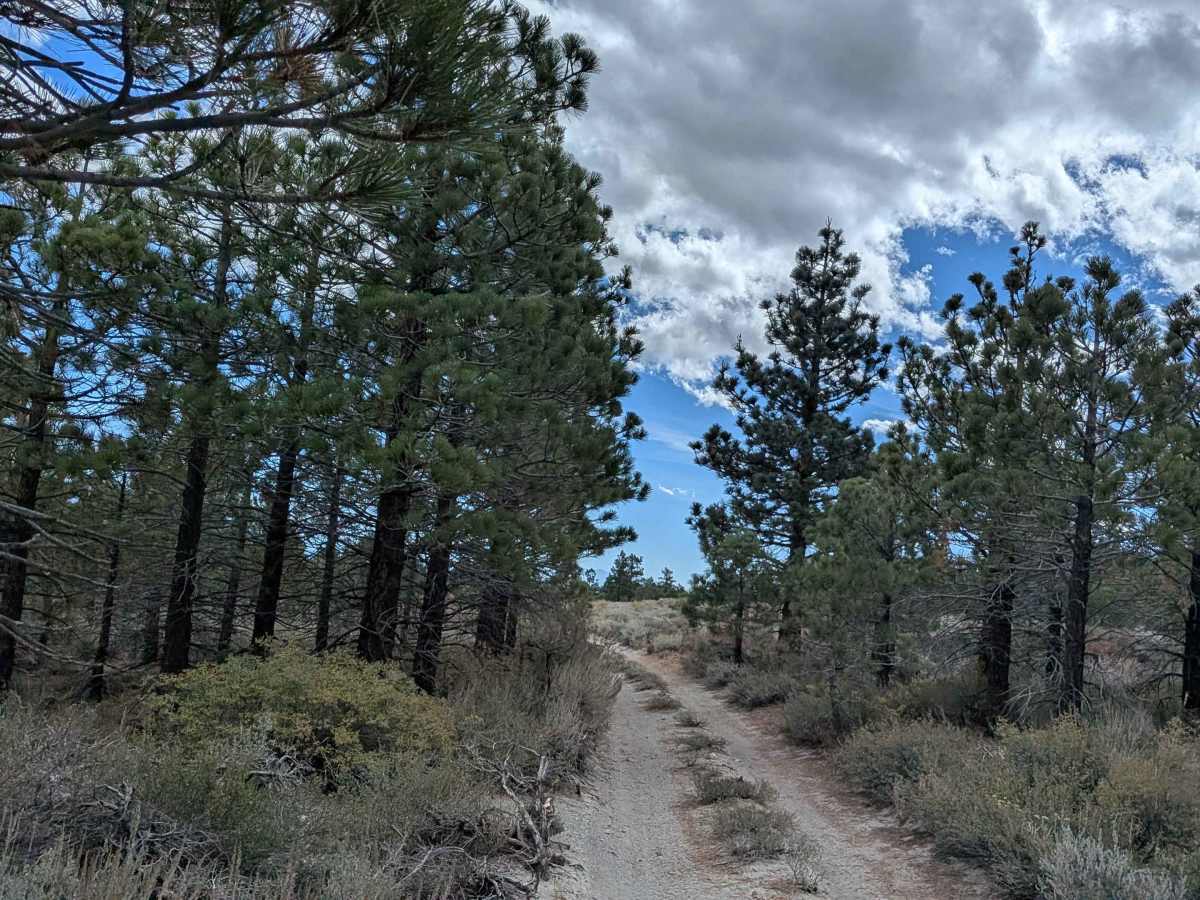
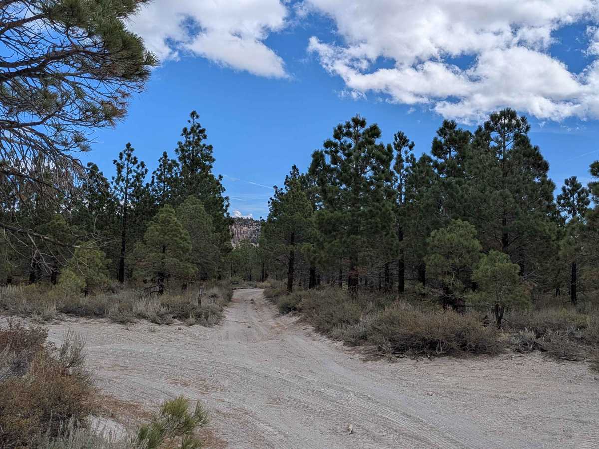
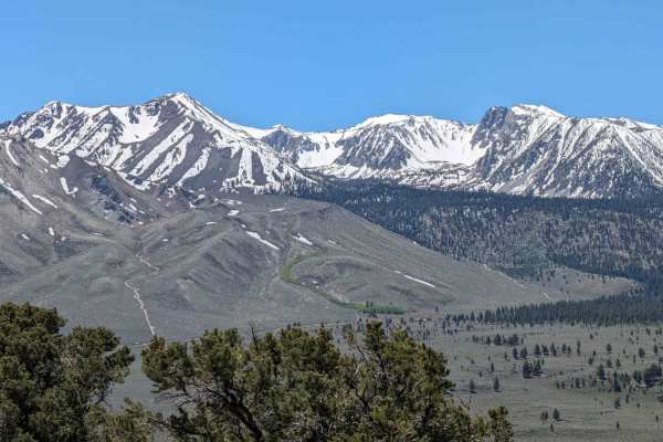
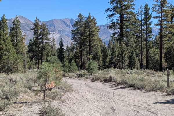
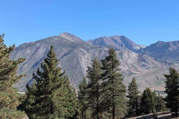
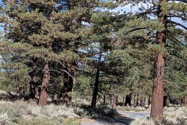
This trail starts at the 395 Overlook Trail and ends at Tree Plant Road, running along a shelf road positioned above the Ormat geothermal plant with commanding elevated perspectives of the surrounding landscape. The trail is lined with low brush and surrounded by a sparse pine forest, immediately rewarding drivers with great views of the Eastern Sierra mountains, including Mammoth Mountain, the Sherwin Range, Mount Morrison, Mini Morrison, and other peaks visible along Highway 395. The sandy trail surface is a defining characteristic throughout, with a particularly steep hill climb at the quarter-mile mark that is very sandy and loose, demanding momentum and careful throttle control to maintain traction on the challenging ascent. Beyond this initial climb, you're rewarded with continued views of the surrounding mountains as the elevation gain provides expanding vistas. The trail includes off-camber sections that tilt the vehicle and require confident line selection, along with some very deep ruts reaching under 18 inches caused by heavy side-by-side use that has carved channels into the sandy surface. Sections with overgrowth and encroaching trees will give your vehicle pinstripes as branches scrape along the sides, so expect cosmetic contact. A few sections feature small rocks scattered across the trail surface, adding variety to the predominantly sandy terrain. Some areas combine deep sand with very deep roots, creating compound obstacles that challenge suspension articulation and clearance. High clearance and 4x4 are highly recommended to safely navigate the combination of deep sand, steep sandy climbs, deep ruts, and root obstacles without risk of getting stuck or causing vehicle damage.
Difficulty
This trail has a moderate difficulty rating (3) based on the steep sandy hill climb at the quarter mile that is very loose and challenging, very deep ruts under 18 inches caused by heavy side-by-side use, off-camber sections requiring careful balance, deep sand throughout that can bog down vehicles, very deep roots creating clearance obstacles, overgrowth that will pinstripe vehicles, and small rocks scattered in sections. The primary challenges include maintaining momentum and traction on the steep sandy climb without spinning out, carefully navigating the deep ruts without high-centering or catching running boards, managing off-camber sections confidently without sliding, keeping momentum in deep sand without getting stuck, and clearing roots and rocks without undercarriage damage, making high clearance and 4x4 highly recommended for safe passage.