Trail Overview
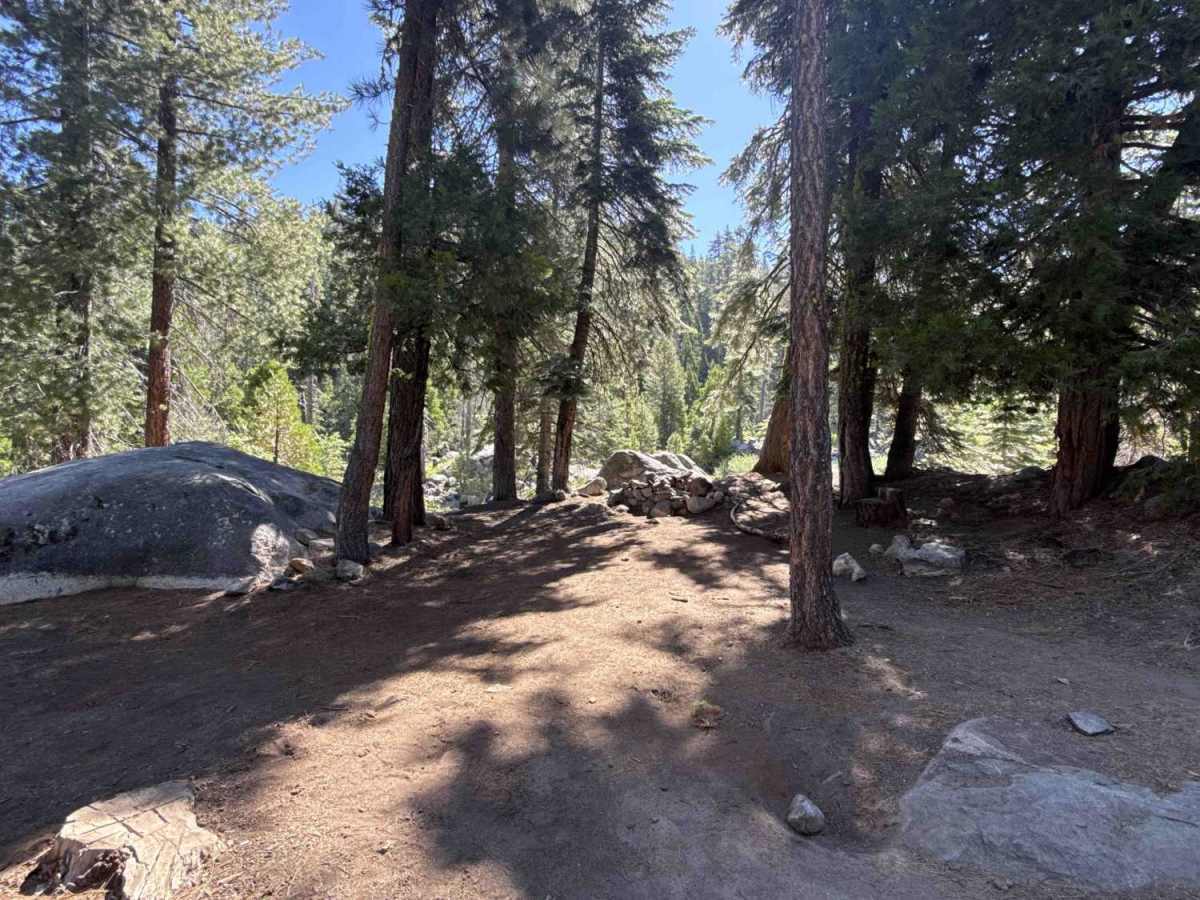
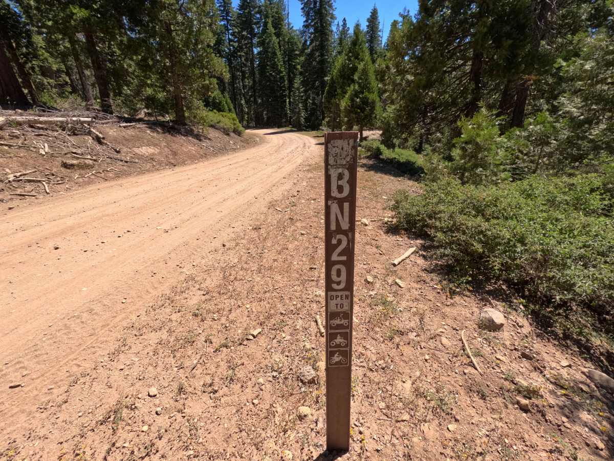
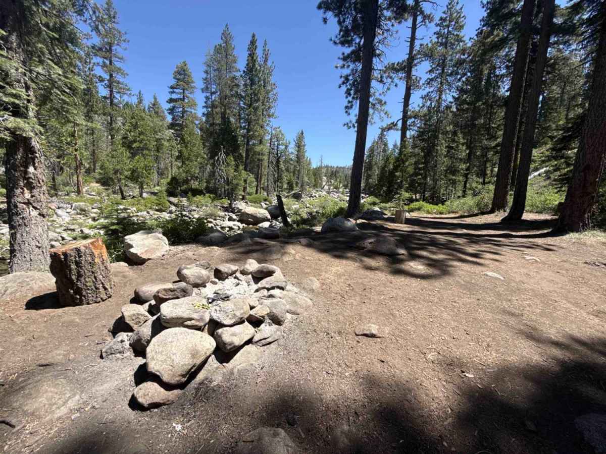
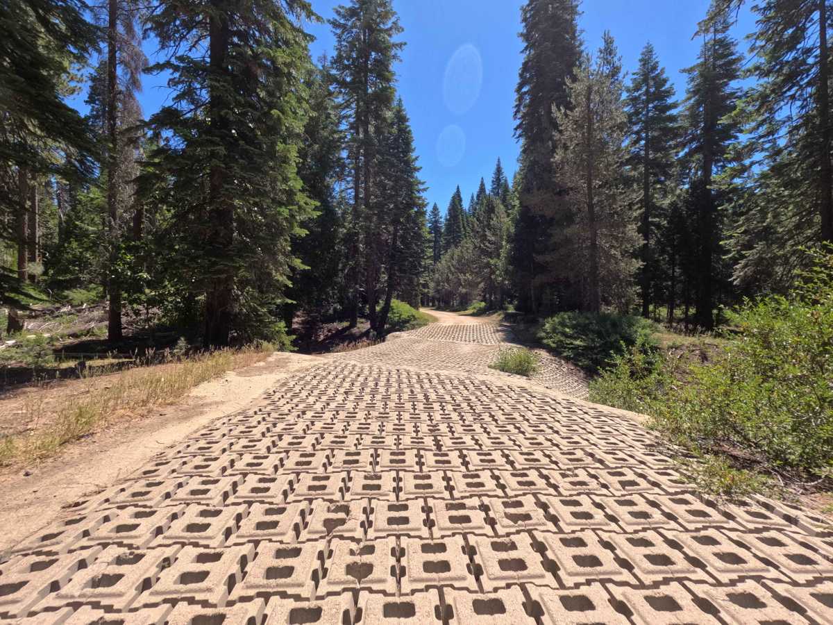
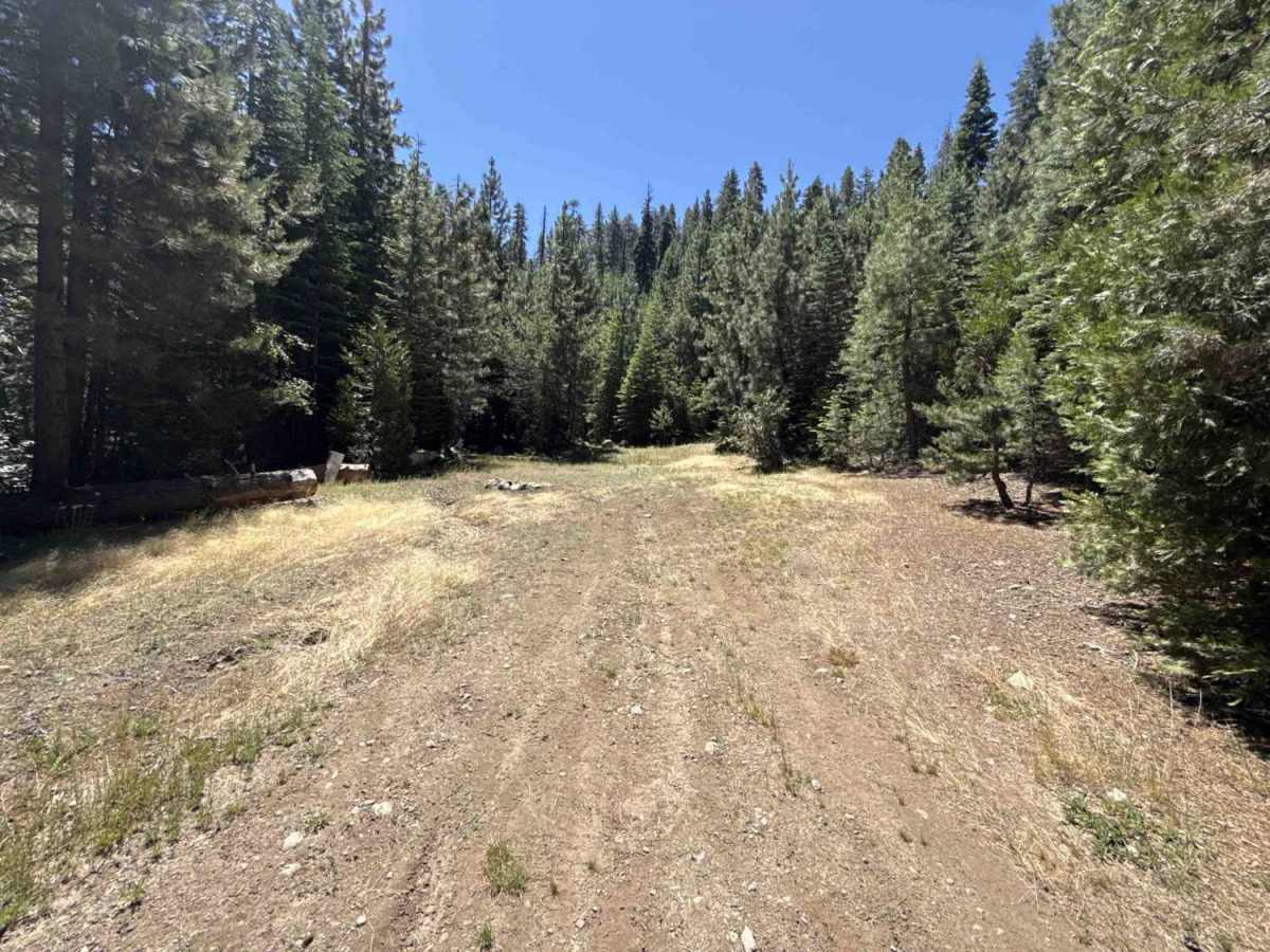
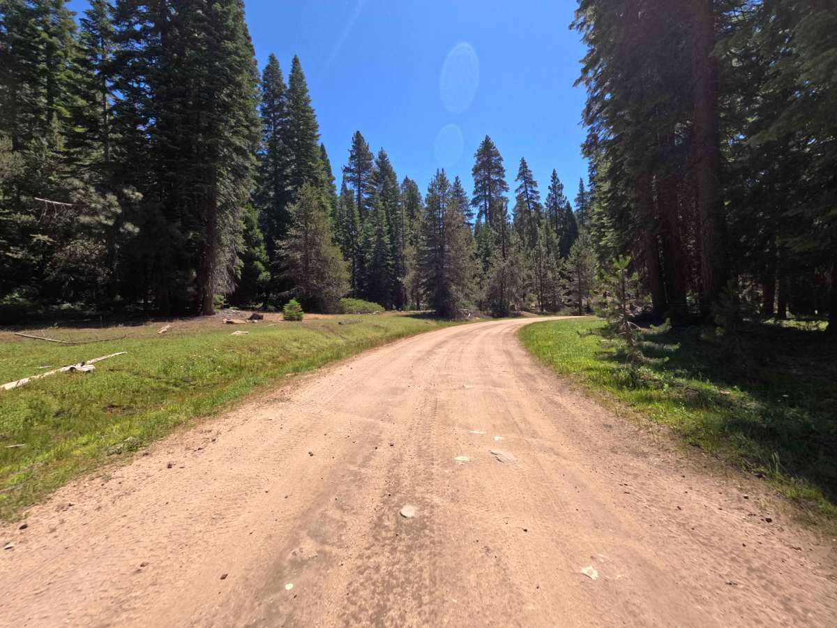
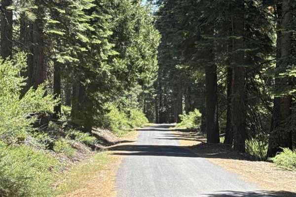
Serving as a primary backcountry artery, FS 3N29 is a broad connector road that provides essential throughput through the heart of the regional forest network. Managed by Stanislaus National Forest, the drive passes through a lush, dense mountain woodland dominated by towering pines, firs, and verdant hillside brush. Featuring a wide, double-lane packed-dirt and coarse-gravel base that becomes rockier and rougher on the climbs, this scenic corridor earns a Technical Rating of 2. The route begins with a smooth, well-maintained surface skirting private residential parcels before crossing a sturdy bridge with a prime streamside dispersed campsite tucked nearby. Past the bridge, the road crosses an engineered concrete-paver erosion pad and begins a steady climb into the high country. While maintaining ample passing width throughout, the upper ascent introduces embedded rocks, small cobbles, and mild surface chatter. Outdoor recreationists rely on this dependable trunk road to reach primitive riverside camps, access numerous branching off-highway vehicle side spurs, or enjoy an easy cross-forest passage.
Difficulty
Earning a Technical Rating of 2, this well-traveled connector road provides a predictable and manageable driving surface under dry conditions. While the lower sections remain broad, flat, and smoothly packed, the upper mountain ascent transitions to rougher terrain with scattered loose stone, embedded cobbles, and minor corrugated washboarding. A reinforced concrete block grid across a drainage dip provides solid traction. Drivers should maintain a controlled pace, stay alert for two-way traffic around sweeping bends, and steer around larger loose rocks along the climb.

 Offroad