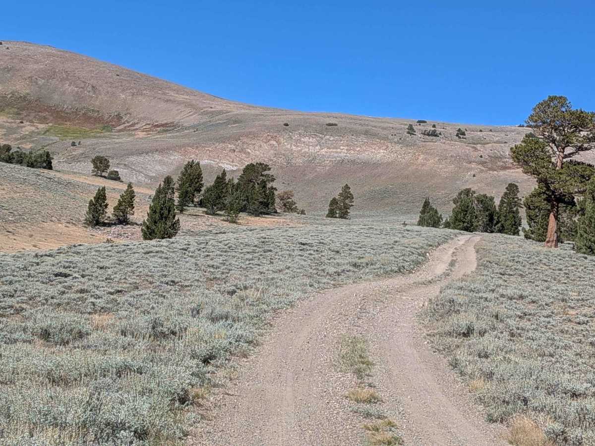
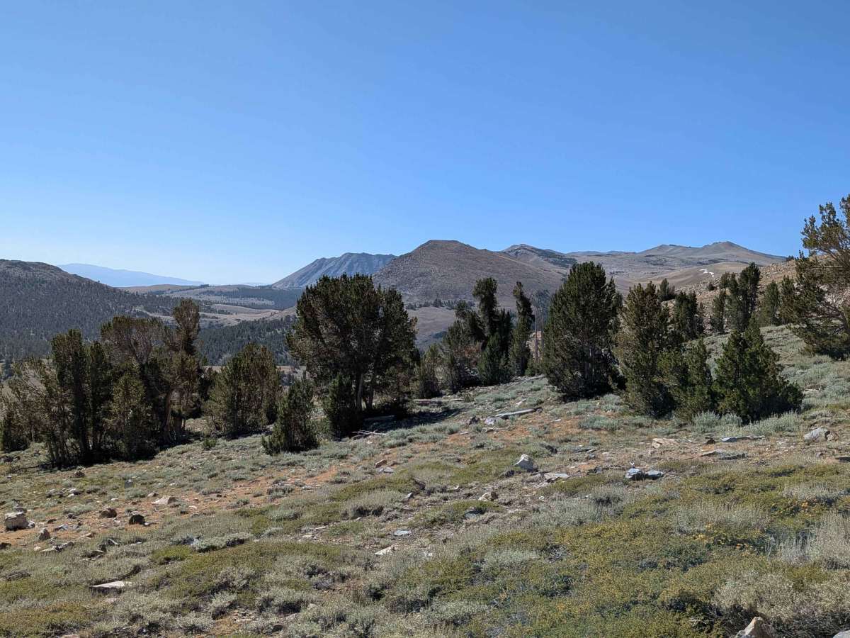
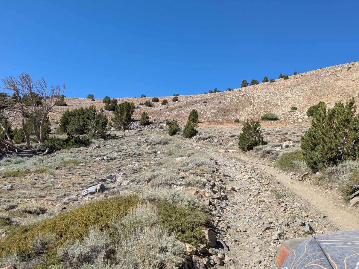
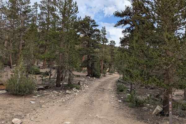
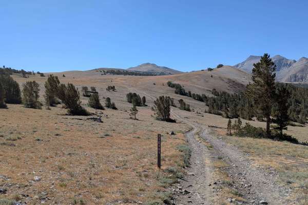
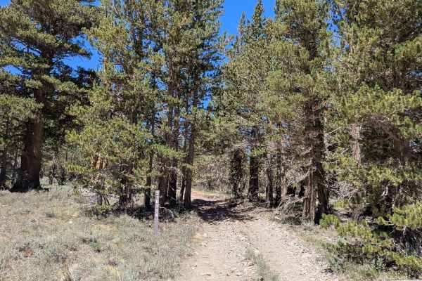
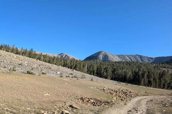
Trail Overview
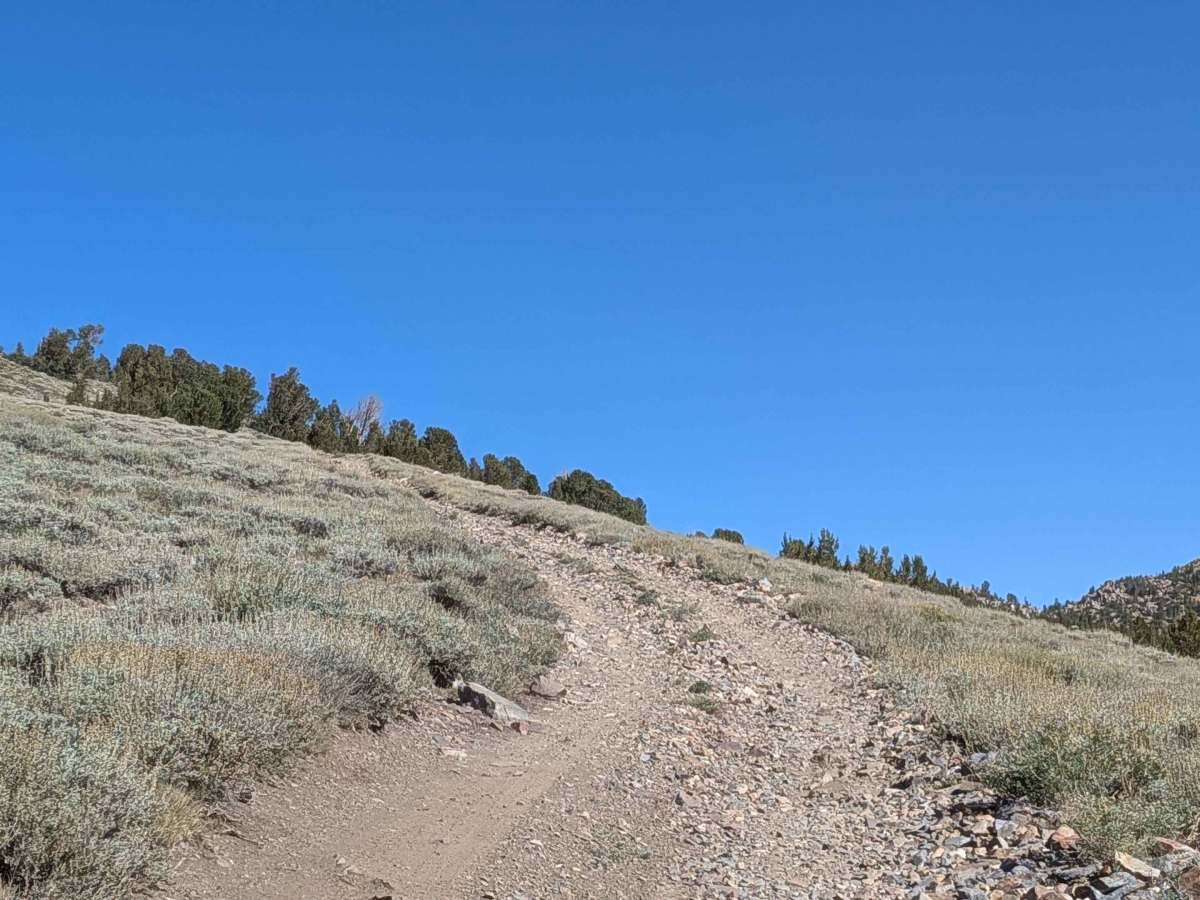
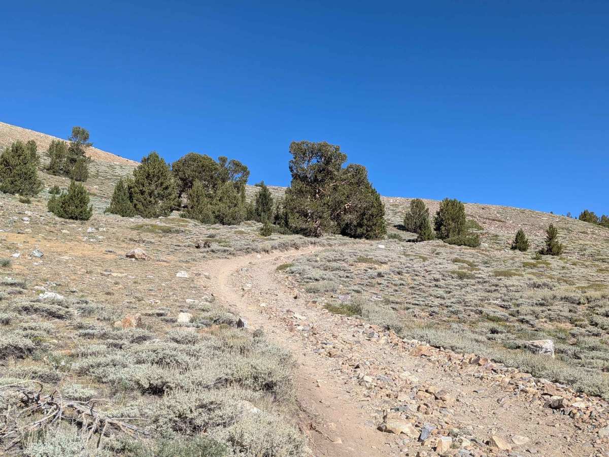
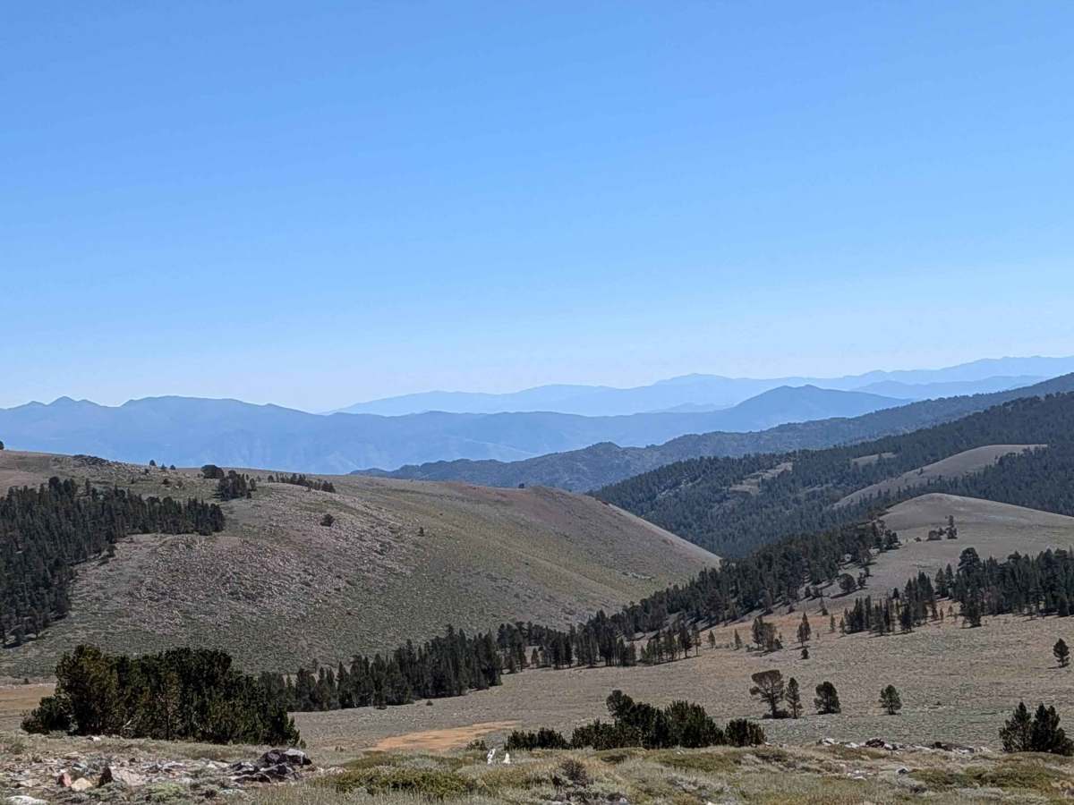
This rewarding route climbs almost 900 feet and drops just over 300 feet in just over 2 miles, offering beautiful views of the surrounding hills and mountains as you drive through meadows with small patches of pine trees throughout. After a mile, you emerge from the forest into a wide open, barren meadow that feels almost like reaching the moon, but with phenomenal views. At mile 1.5, you come out the other side to even more spectacular views of the Eastern Sierras. The trail then descends, providing arguably the best views of the area. The higher you climb, the better the views become, and there can be snow on the hillsides even in August.
Difficulty
This trail earns an easy-to-moderate difficulty rating with its sandy surface mixed with lots of gravel and rocks, plus off-camber sections throughout. The route features a steady climb through rocks where four-wheel drive is mandatory. A high clearance vehicle is highly recommended, and low gear, lockers, and/or traction control can be helpful. After the initial challenging climb, the trail becomes easier with more gravel and flattens out slightly.