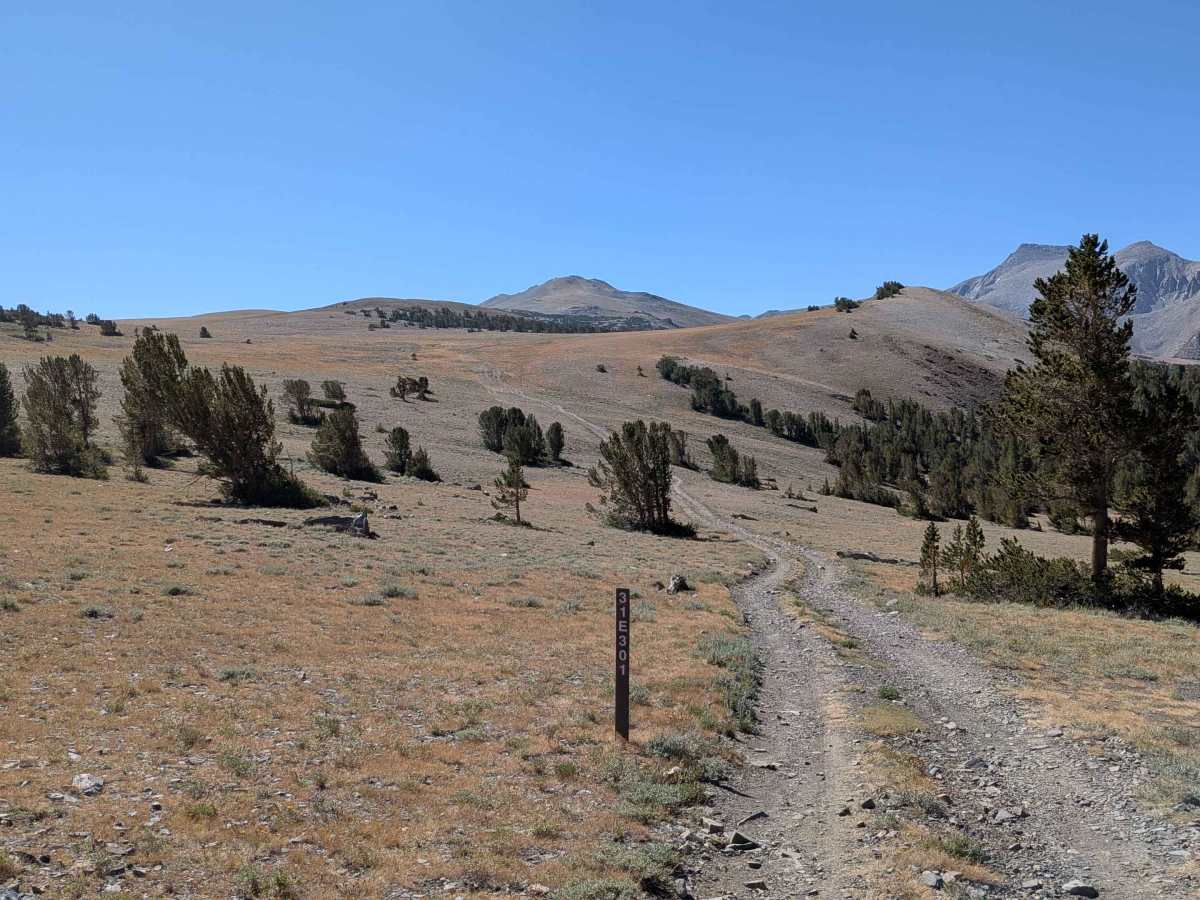
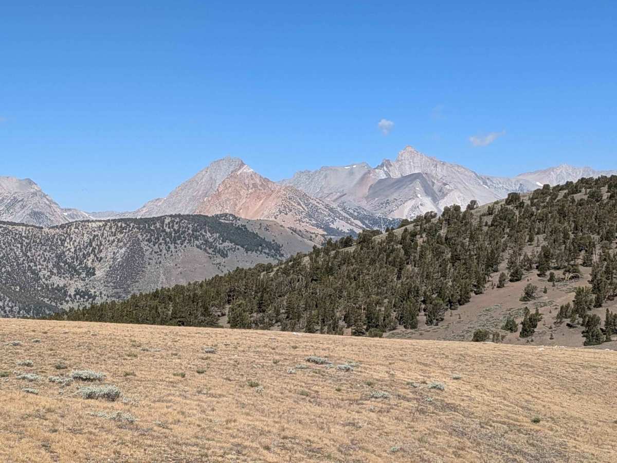
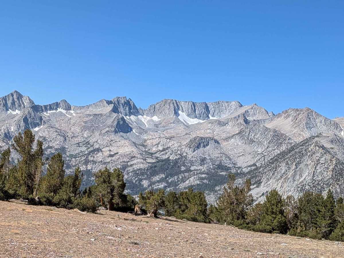
Trail Overview
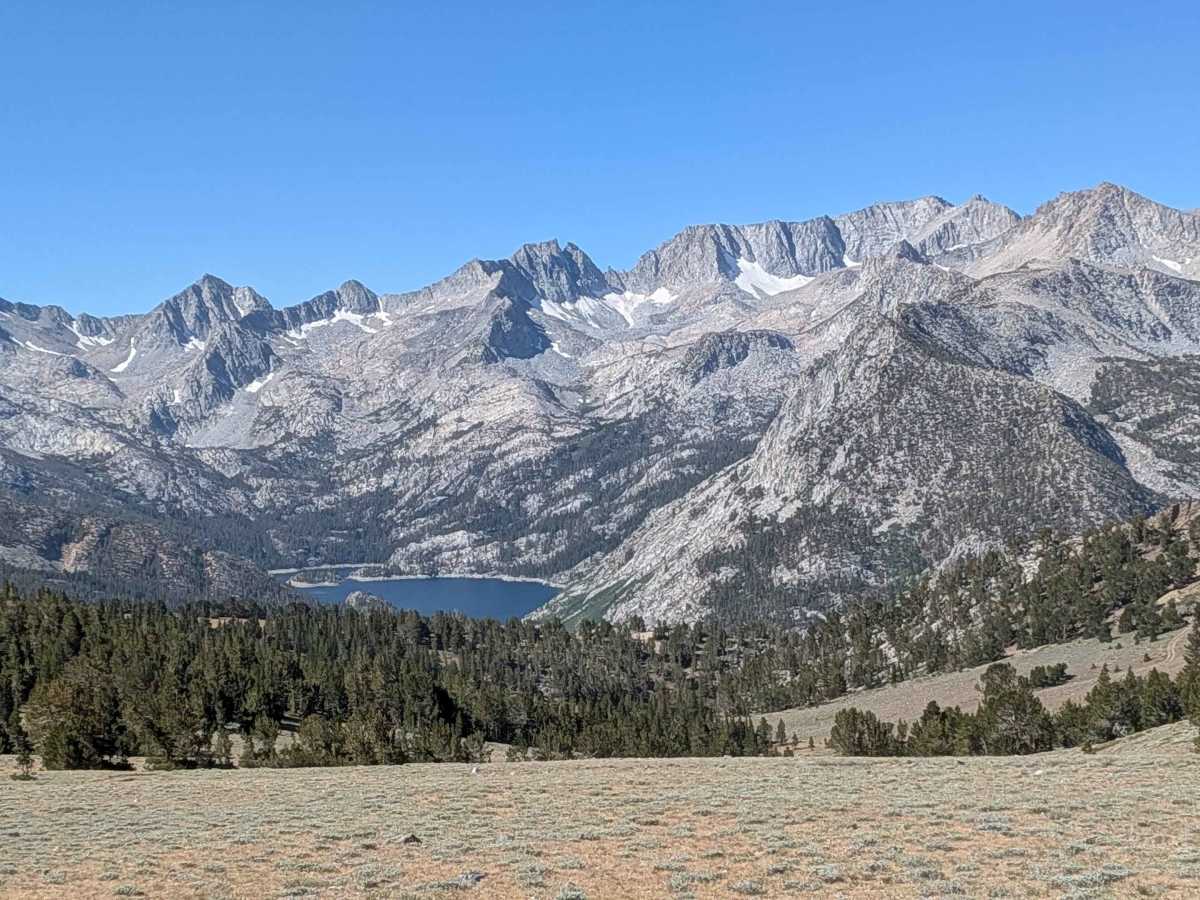
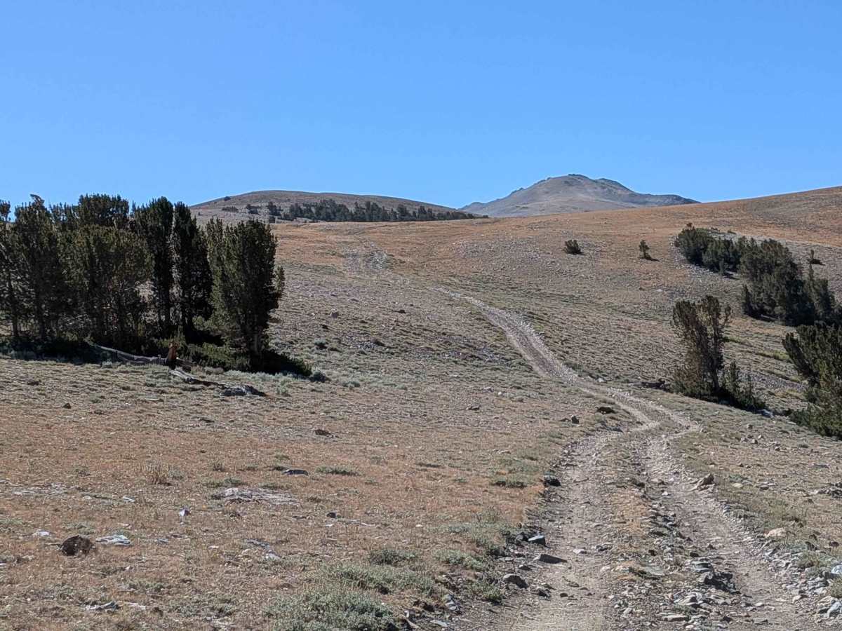
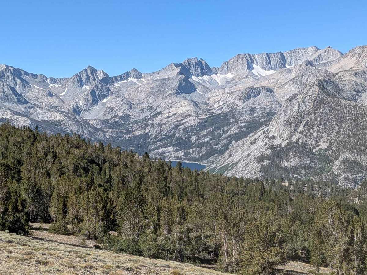
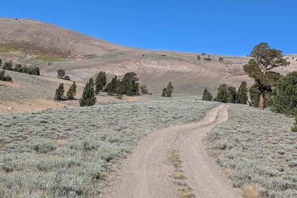
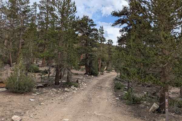
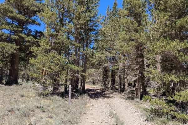
This 5-mile out-and-back trail is the tallest in the area, dropping 391 feet before climbing almost 1,000 feet to peak at 11,689 feet. The route offers stunning views of the Eastern Sierras, some still snow-covered in August. Starting in an open meadow, the trail drops into a pine forest around 11,000 feet after the first mile. At mile 1.25, it opens up into a valley where most of the little rocks disappear, featuring a small river crossing before climbing back into a pine forest. The trail then descends and becomes very rocky again with larger rocks before the final climb. The last climb is mainly sandy with some larger rocks, gaining over 600 feet in the last half mile. You're rewarded with some of the best views of the Eastern Sierras, and the trail ends at a cliffside above Green Lake and Brown Lake.
Difficulty
This trail earns a moderate difficulty rating with its very rocky surface consisting mostly of small rocks and some deep ruts. There are a few low-hanging branches that tall vehicles will hit, and there's a steep climb that's mostly sand and dirt with some rocks and a few large ones to maneuver around. 4x4 and high clearance are mandatory, and low gear is very helpful, along with lockers or traction control.