Trail Overview
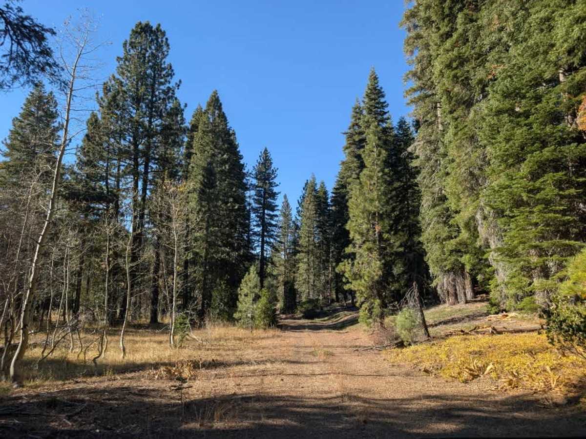
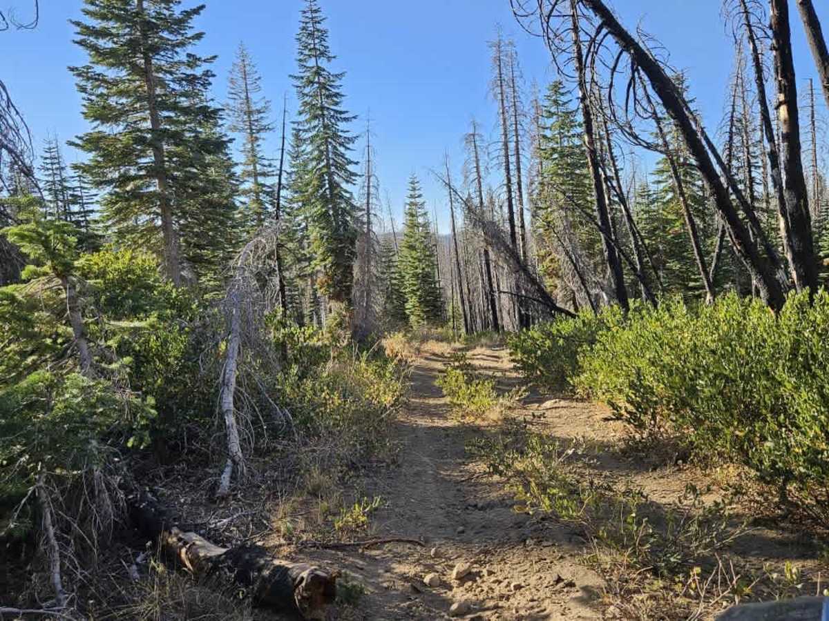
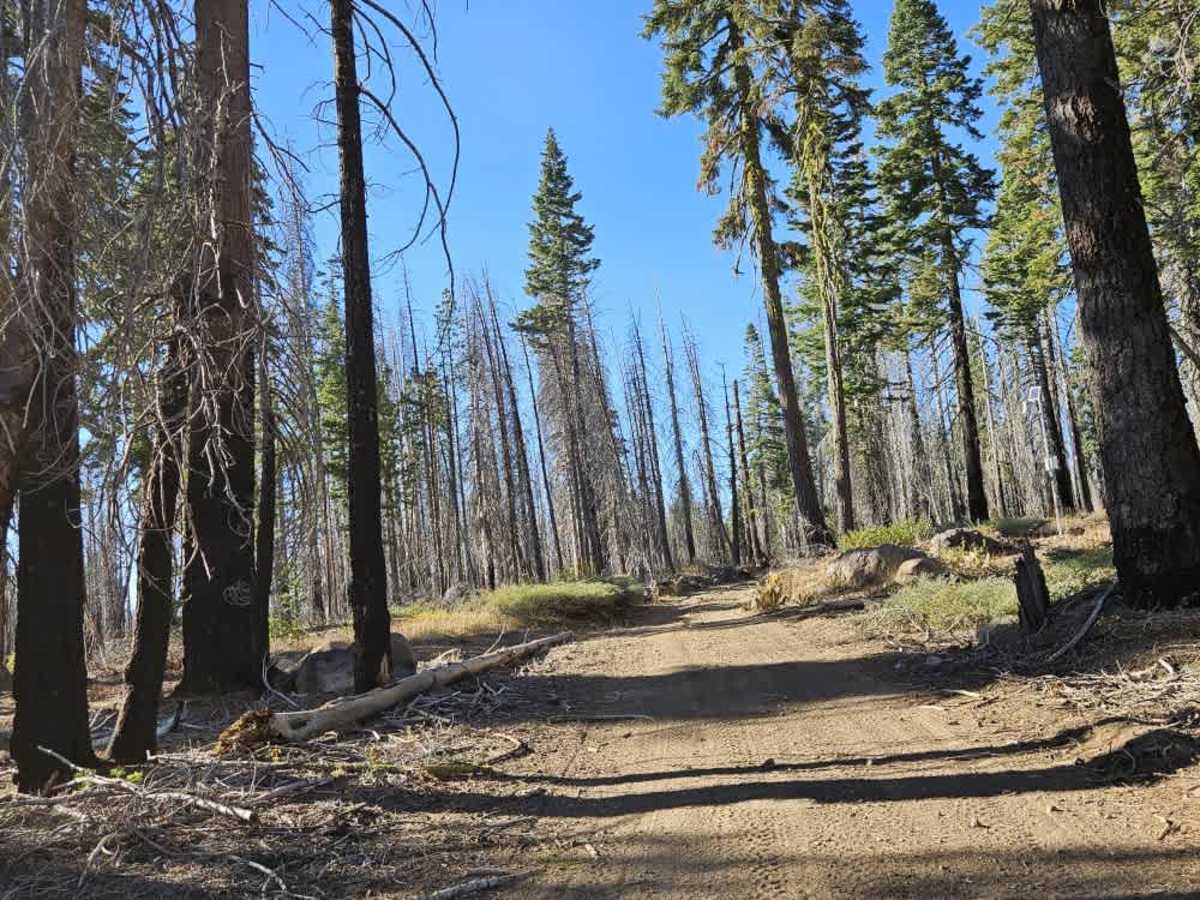
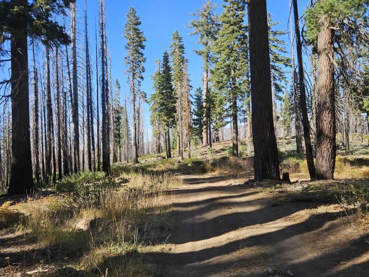
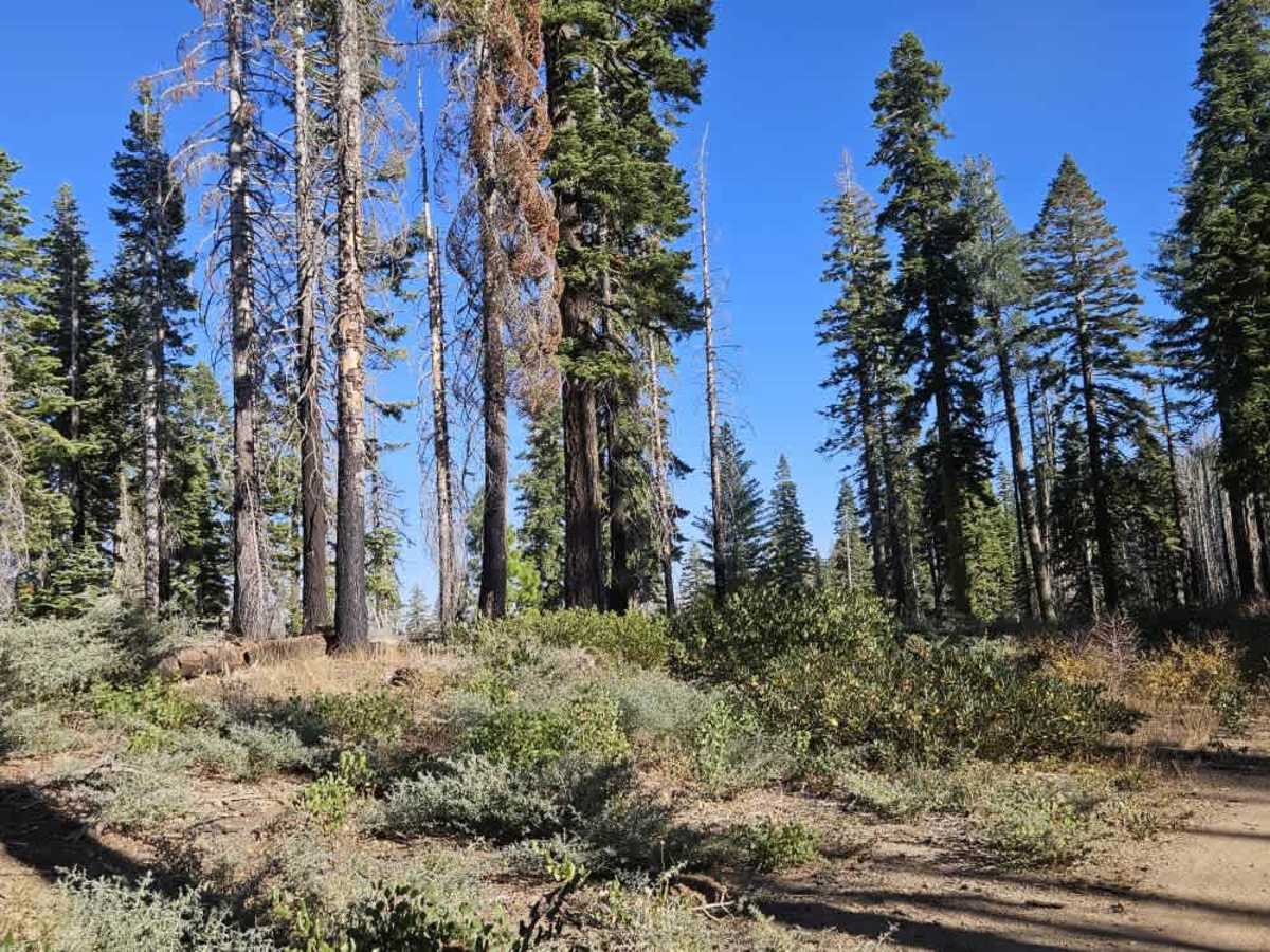
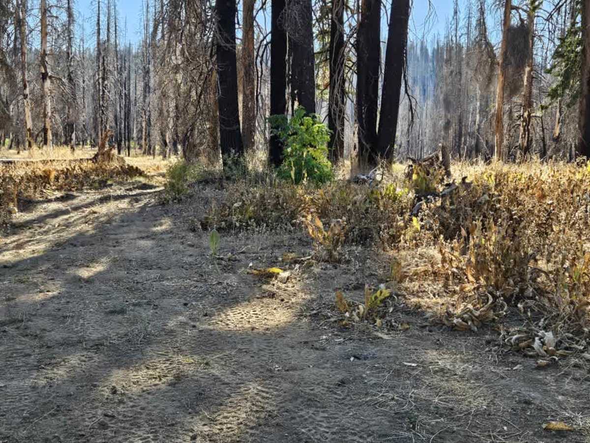
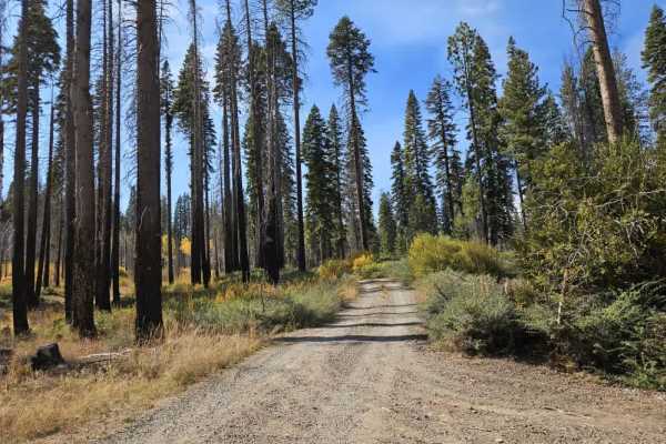
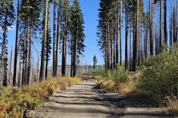
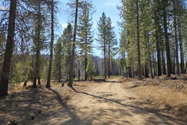
This trail winds through a series of switchbacks, with steep ascents and descents depending on your direction of travel. The route passes through a mix of healthy forest and burned areas with standing dead snags and fallen timber. Conditions vary considerably along the way, with loose rocks and larger embedded obstacles particularly noticeable toward the lower end. The upper section is very dusty, sandy, and rough, with an almost improvised appearance as it winds through the fire-damaged forest. Broken branches, cut timber, and other debris are scattered alongside the track, so proceed carefully. Although numerous trees have fallen in the surrounding area, the main route was recently cleared and was free of fallen-tree blockages in early October 2026. However, one low-hanging tree may prevent taller pickups and full-size 4x4s from passing, although ATVs and SxSs should have sufficient clearance. Some steep drop-offs also require extra attention, particularly around the rocky switchbacks. Near the bottom, a creek runs onto the trail and can leave the surface wet and muddy, making the loose terrain more difficult to navigate. The route has no facilities, but despite its rougher sections, it is a fun, varied forest trail. ATVs, UTVs, Side-by-Sides, and Dirt Bikes must always have a valid California ATV Operating Permit sticker.
Difficulty
Steep, rocky switchbacks, loose terrain, and exposed drop-offs make this a challenging route that requires careful driving.