Trail Overview
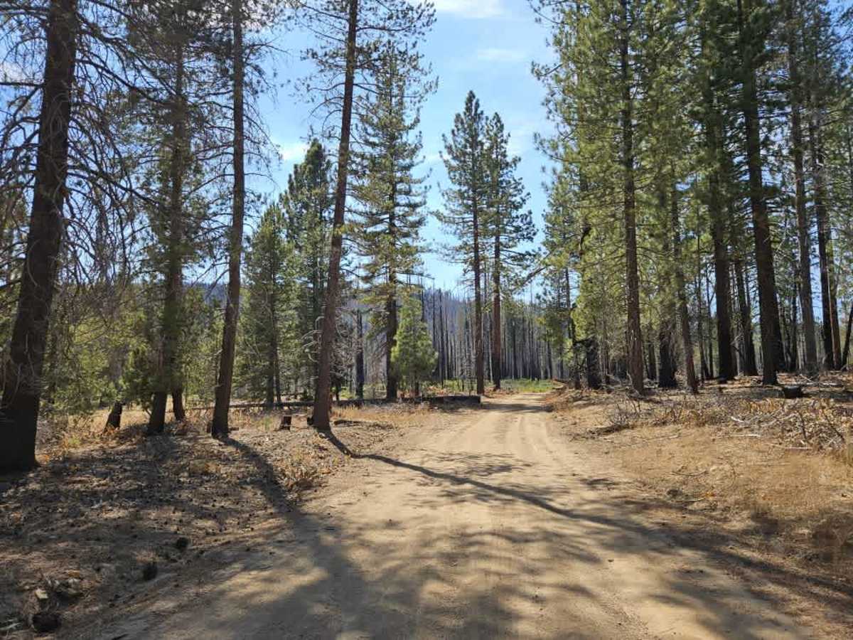
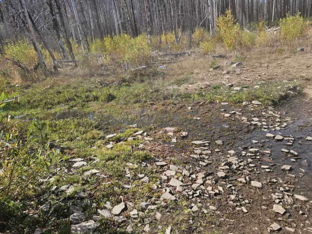
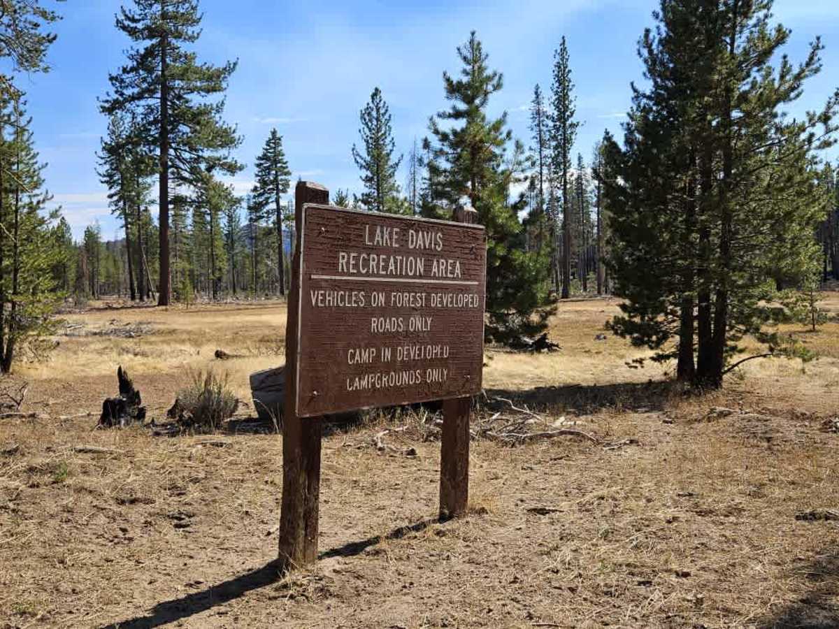
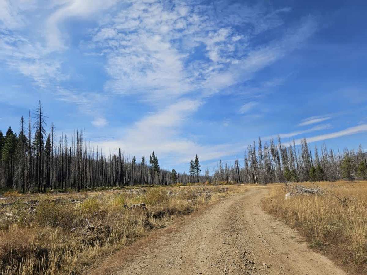
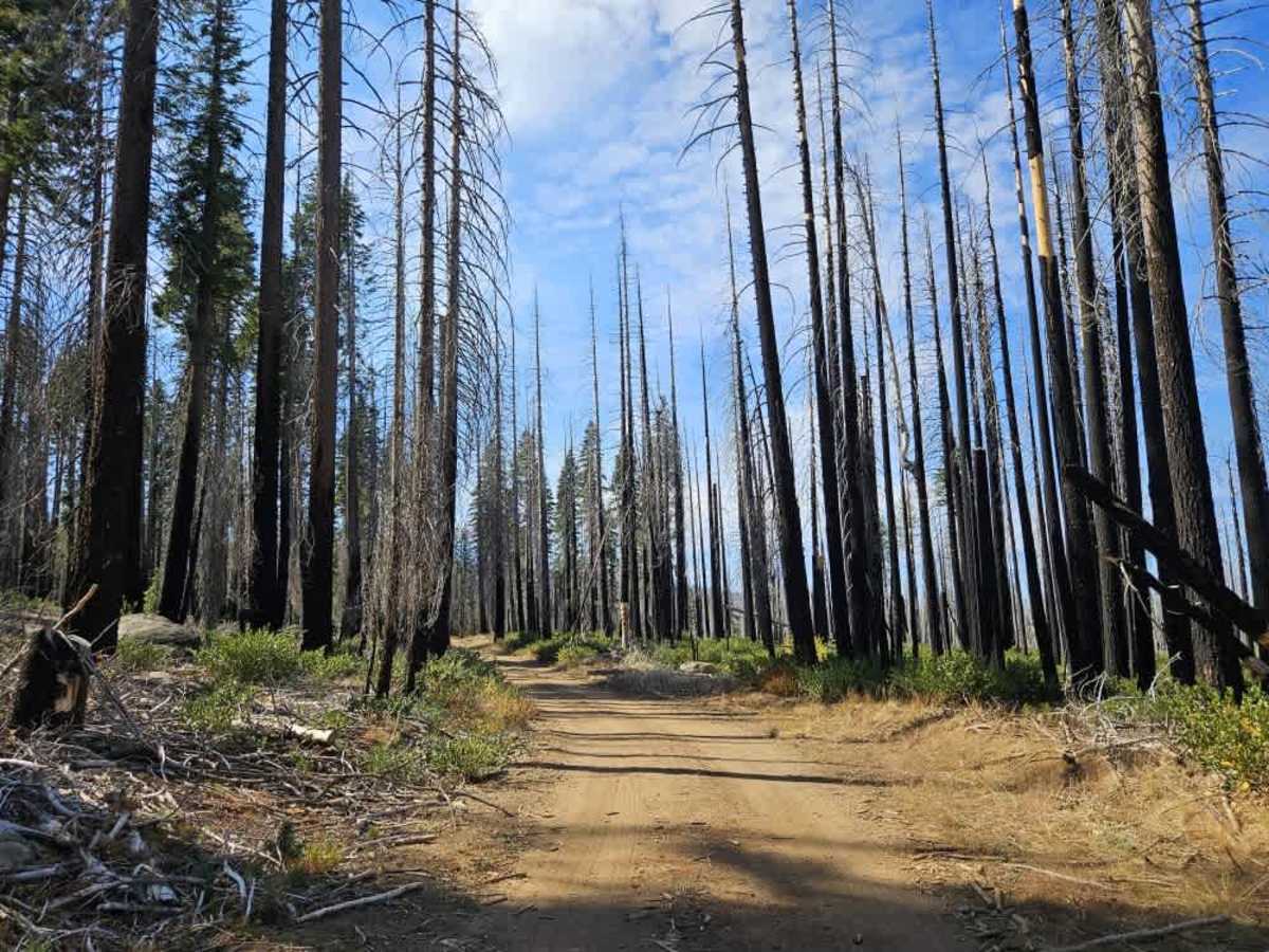
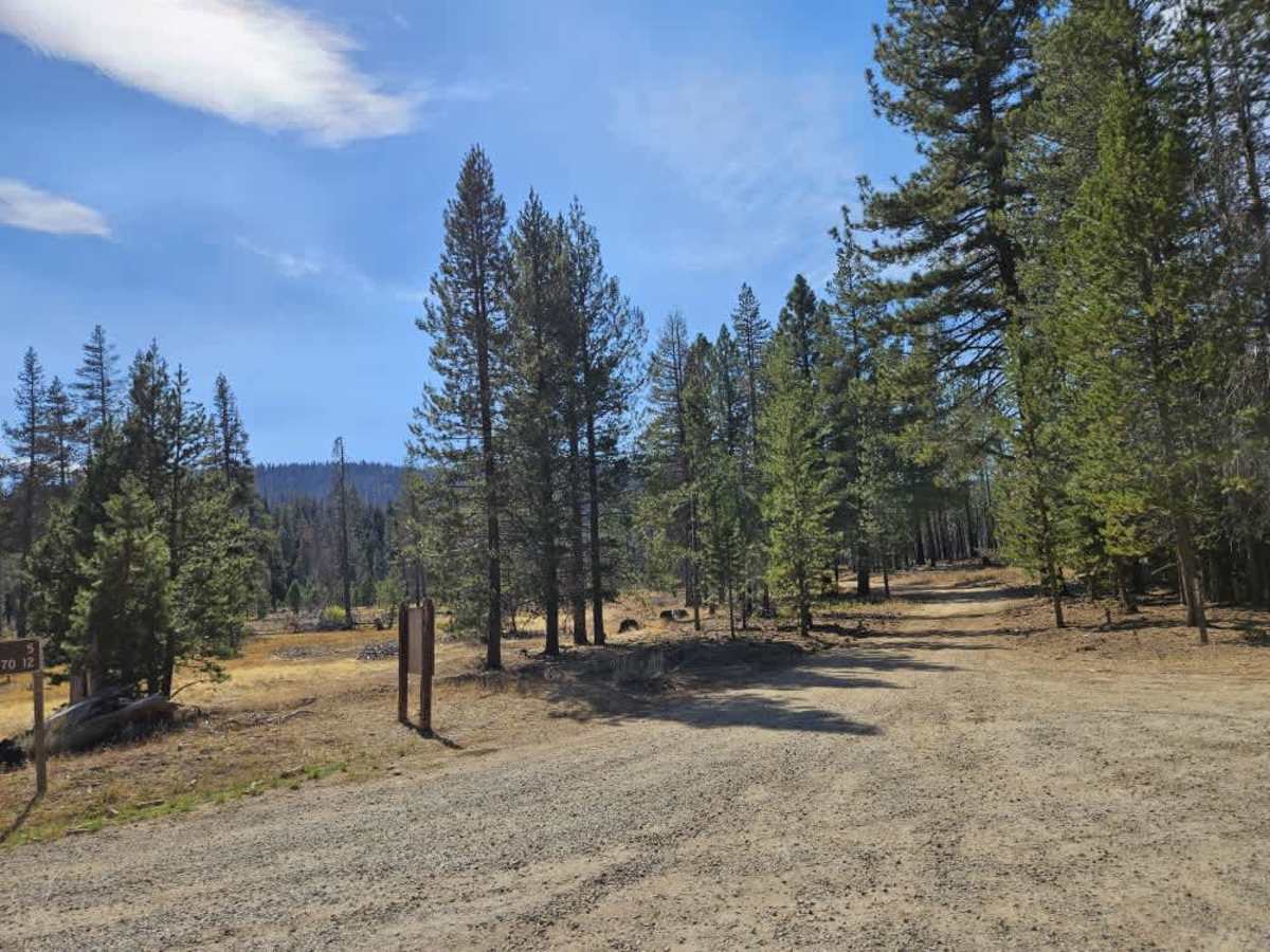
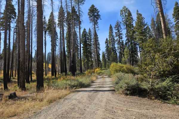
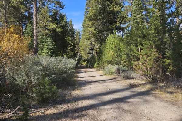
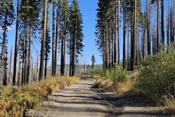
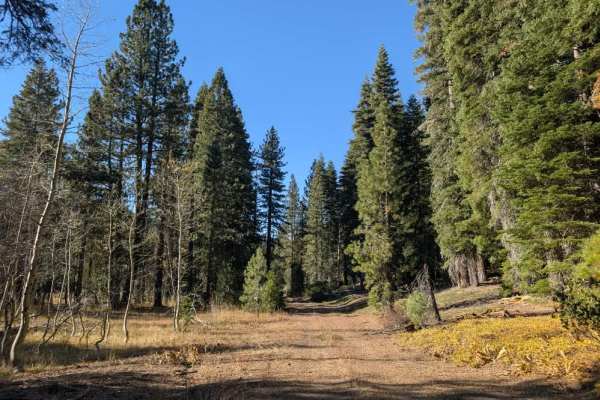
This trail winds through a varied landscape of healthy pine and quaking aspen forest, burned woodland, and open plains. The road is unmaintained and can be quite bumpy, rocky, and uneven, with visible water damage in several sections. Small creeks cross the trail at multiple points, creating steep-edged drops and washes that require extra caution, so be sure to keep your speed under control as you approach them. Although the surface can be rough, all fallen trees had been cleared from the route at the time of travel. One smaller trail branches off the main road, and the route also provides access toward the lake when traveling from the 24N10 side. There are dispersed camping opportunities near the lake, as well as a dispersed camping spot close to the beginning of the trail on the FS 24N10 end. ATVs, UTVs, Side-by-Sides, and Dirt Bikes must always have a valid California ATV Operating Permit sticker.
Difficulty
The unmaintained road is bumpy, rocky, and uneven, with water-damaged sections and steep-edged creek washes.