FS 22N15

Total Miles7.4
Technical Rating
4Moderate
Best TimeSpring, Summer, Fall
Trail TypeFull-Width Road
Accessible By
Open Trail Map

Trail Overview

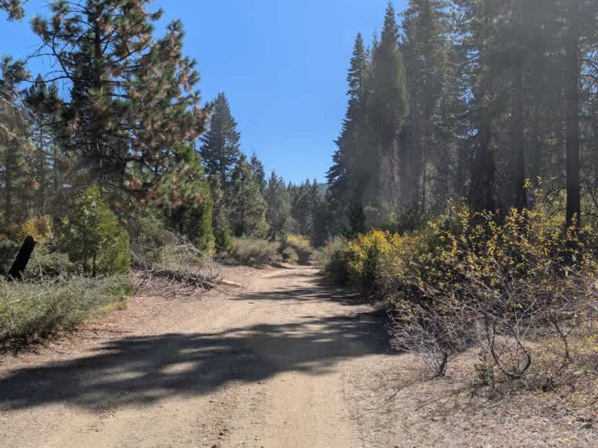
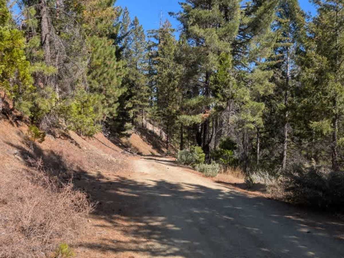
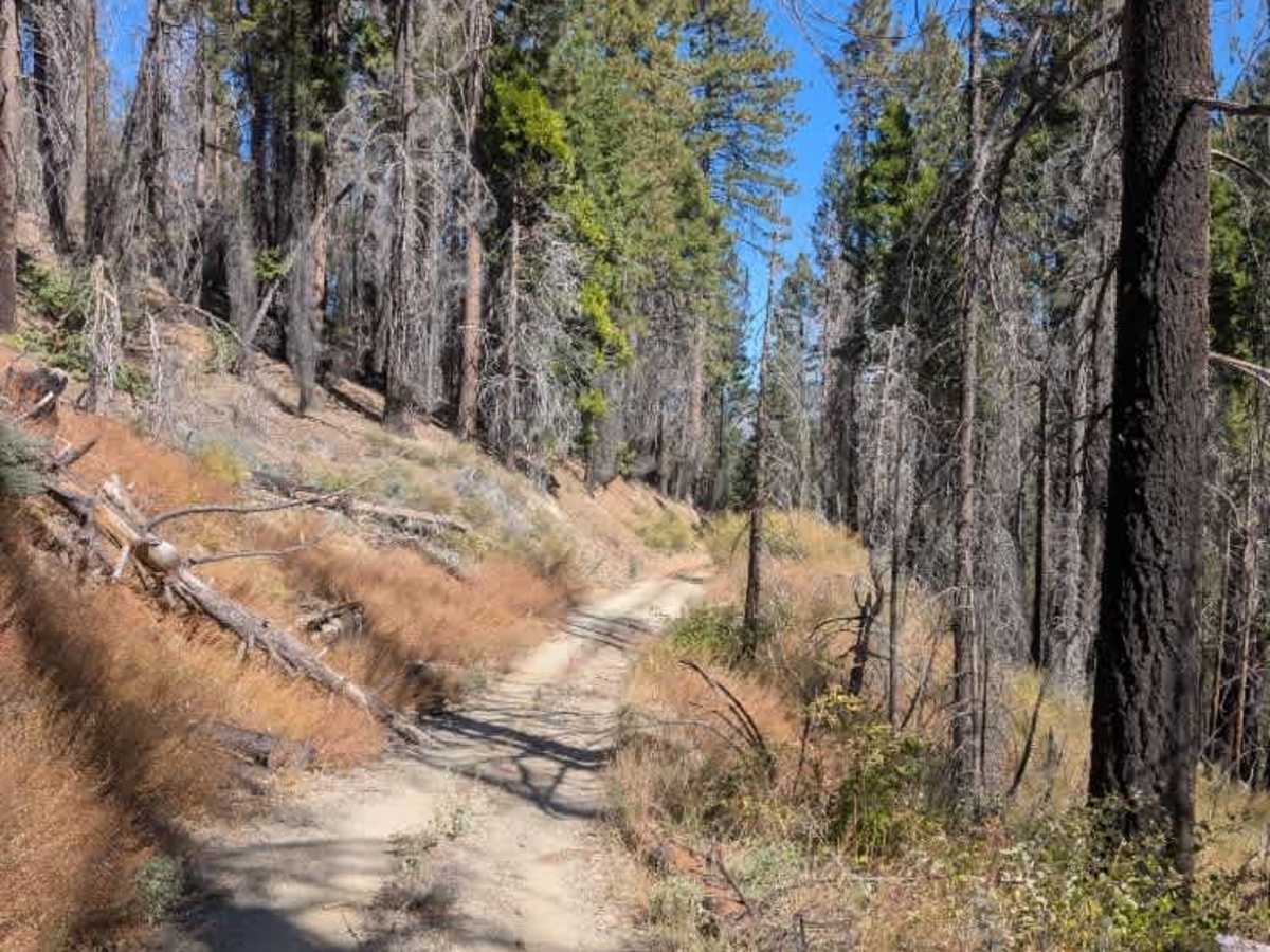
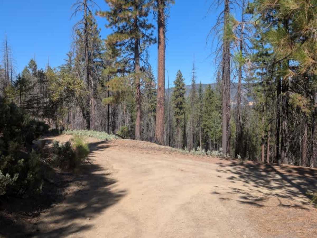
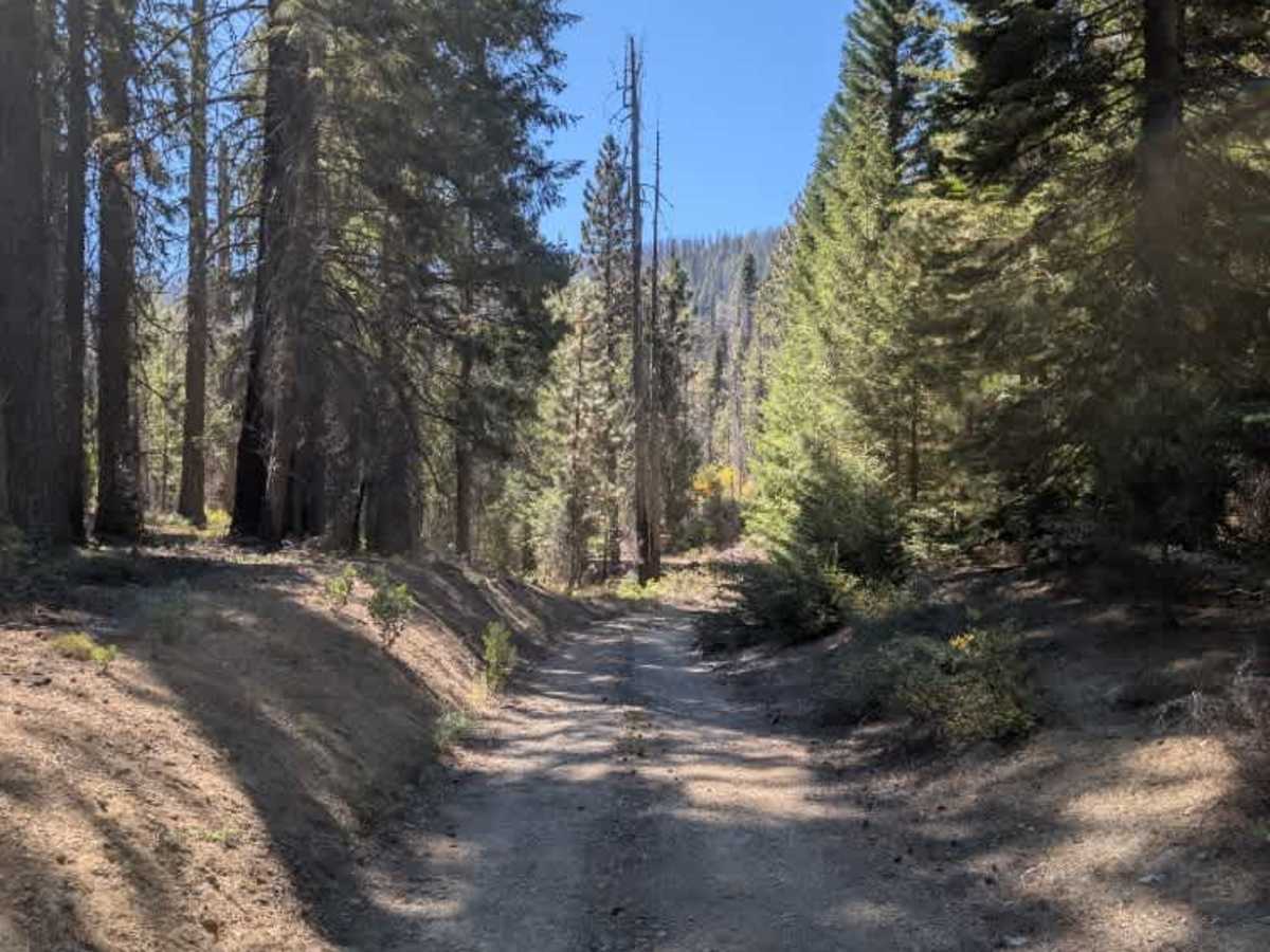
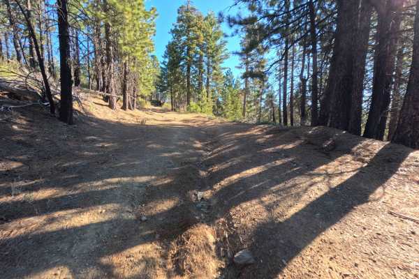
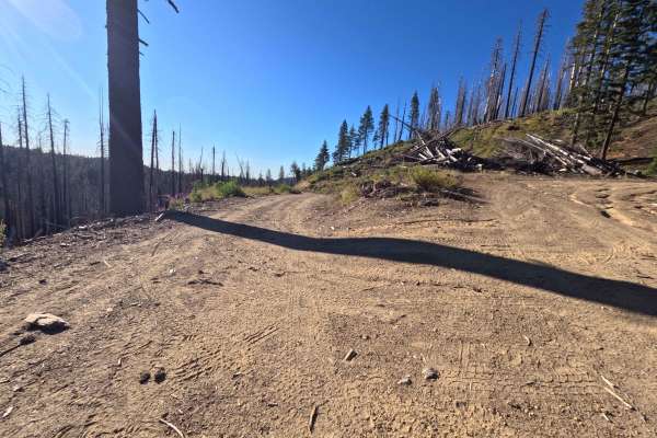
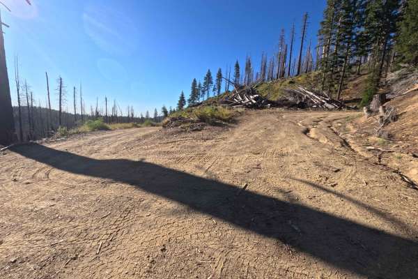
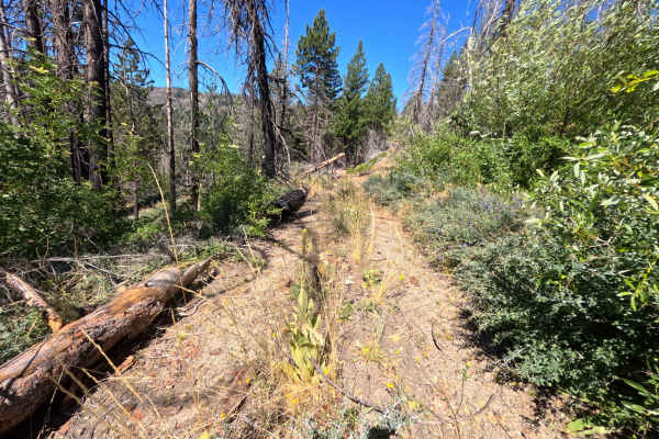
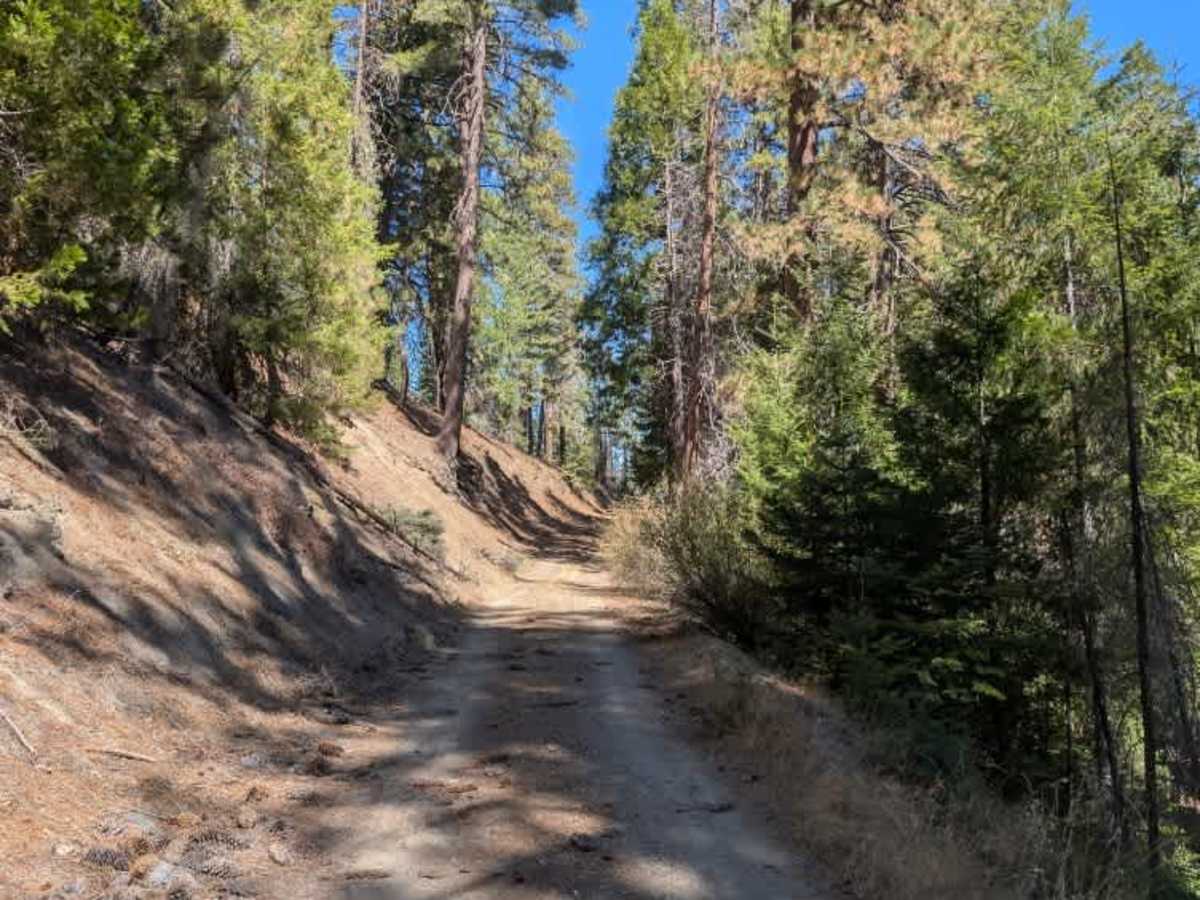
This long trail connects to several other routes, making it a useful link through the area. Highway-legal-vehicle-only routes branch off on either side, so follow the correct path. The eastern approach is particularly challenging, with deep ruts, numerous humps, and sections where running water has caused further erosion. These conditions make the road rough and difficult to navigate, especially through the more heavily damaged stretches. Over the final couple of miles, the surface becomes more even and noticeably easier to drive, possibly because this section has seen less logging or other operational traffic. However, the improved conditions near the end do not make up for the difficult terrain along the rest of the route. The trail connects with about four other routes, so pay attention at junctions and when conditions change. ATVs, UTVs, Side-by-Sides, and Dirt Bikes must always have a valid California ATV Operating Permit sticker.

Photos of FS 22N15

Difficulty

The trail is rough and challenging, with deep ruts, large humps, and significant erosion, especially near the eastern approach.

Technical Rating

4

FS 22N15 Trail can be accessed by the following ride types:

  • Single Track
  • 50 Inch
  • 60 Inch
  • High Clearance
  • Full Width

FS 22N15 Map

The onX Offroad Difference

onX Offroad combines trail photos, descriptions, difficulty ratings, width restrictions, seasonality, and more in a user-friendly interface. Available on all devices, with offline access and full compatibility with CarPlay and Android Auto. Discover what you're missing today!

Open Trail Map