FS 1S26

Total Miles5.1
Technical Rating
1Easy
Best TimeSpring, Summer, Fall
Trail TypeFull-Width Road
Accessible By
Open Trail Map

Trail Overview

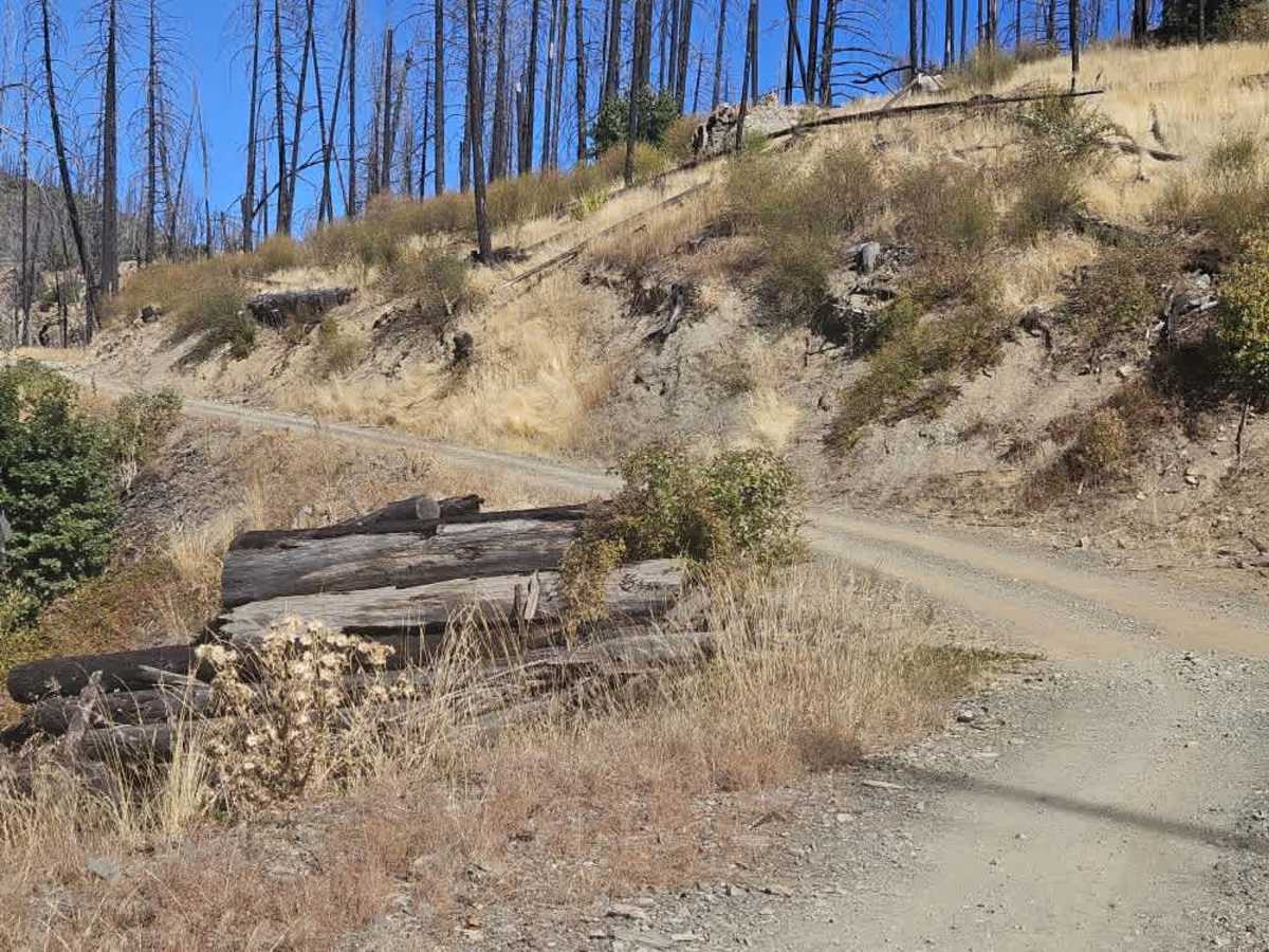
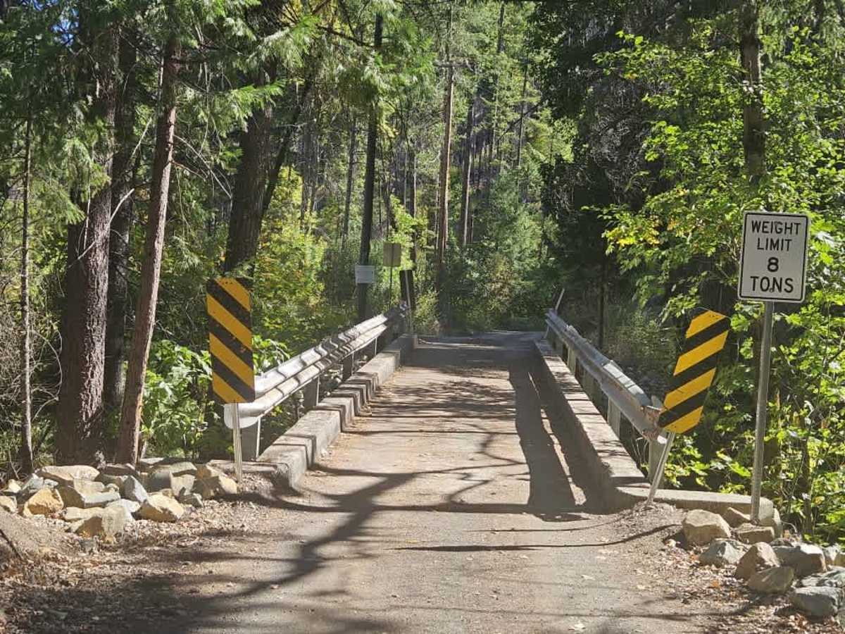
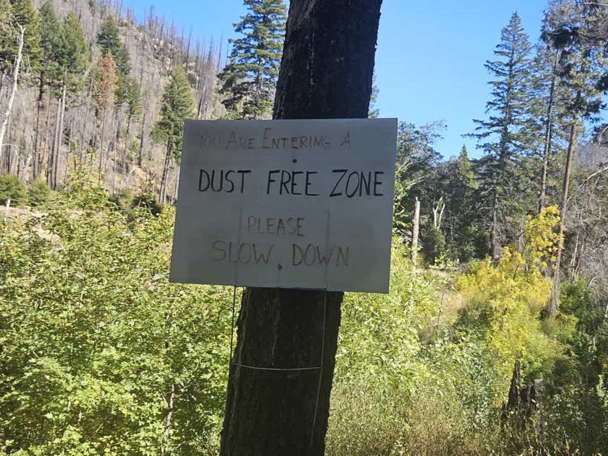
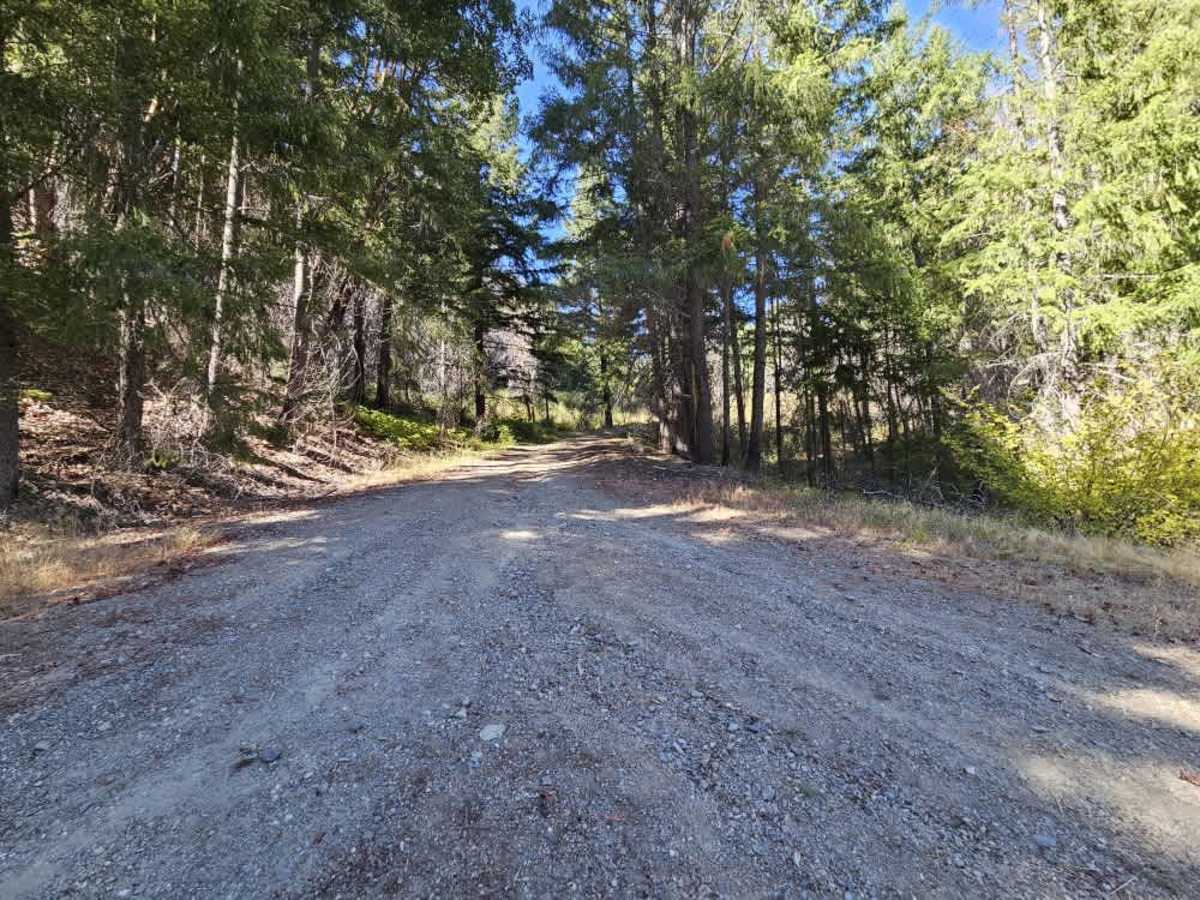
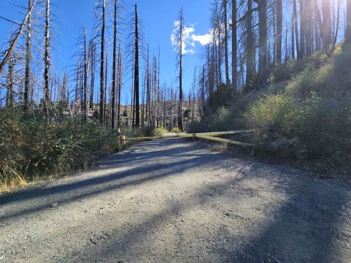
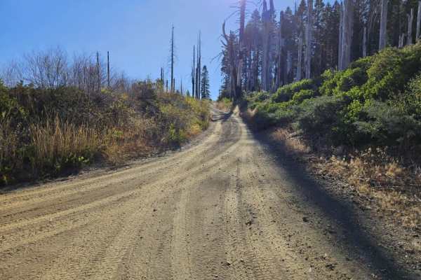
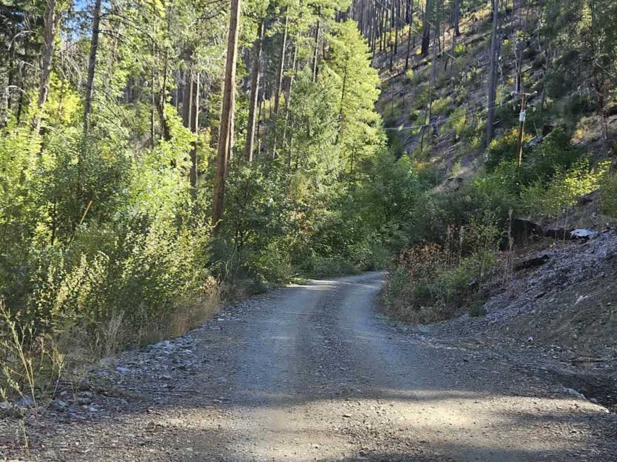
This trail begins by crossing a concrete bridge with an 8-ton weight limit. Shortly after the bridge, a sign marks the area as a dust zone and asks drivers to slow down, so travel slowly and avoid creating excess dust. Several cabins line the route as it follows the river before turning and climbing into the forest. The upper portion passes through heavily burned forest with very few unburned trees and numerous wood piles along the trail. Expect a few steep drop-offs, frequent switchbacks, and a mix of ascents and descents as the route winds higher up the mountain. Several large bumps and a couple of holes in the road also require attention. The trail eventually intersects FS 1S04, which is designated for off-highway vehicles only. ATVs, UTVs, Side-by-Sides, and Dirt Bikes must always have a valid California ATV Operating Permit sticker.

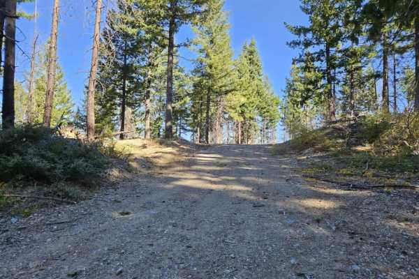
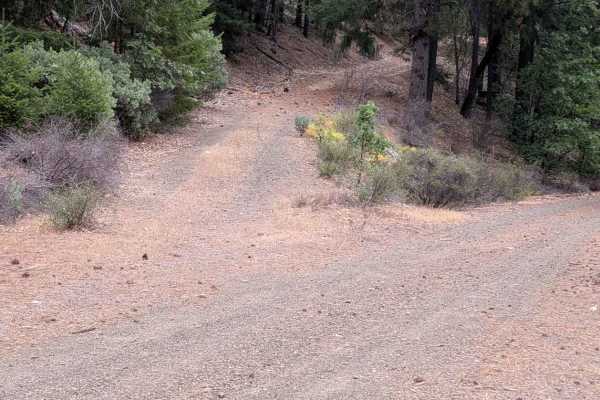
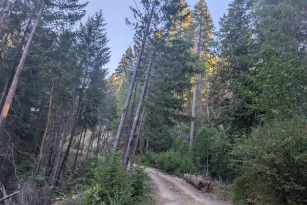
Photos of FS 1S26

Difficulty

The winding route includes steep drop-offs, elevation changes, and uneven sections requiring extra attention.

Technical Rating

1

FS 1S26 Trail can be accessed by the following ride types:

  • Single Track
  • 50 Inch
  • 60 Inch
  • High Clearance
  • Full Width

FS 1S26 Map

The onX Offroad Difference

onX Offroad combines trail photos, descriptions, difficulty ratings, width restrictions, seasonality, and more in a user-friendly interface. Available on all devices, with offline access and full compatibility with CarPlay and Android Auto. Discover what you're missing today!

Open Trail Map