Forest Highway 7

Total Miles20.9
Technical Rating
1Easy
Best TimeSpring, Summer, Fall
Trail TypeFull-Width Road
Accessible By
Open Trail Map

Trail Overview

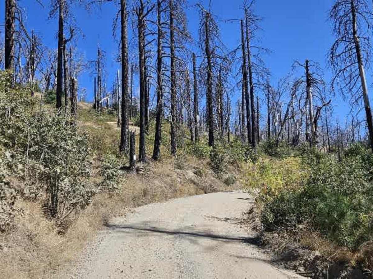
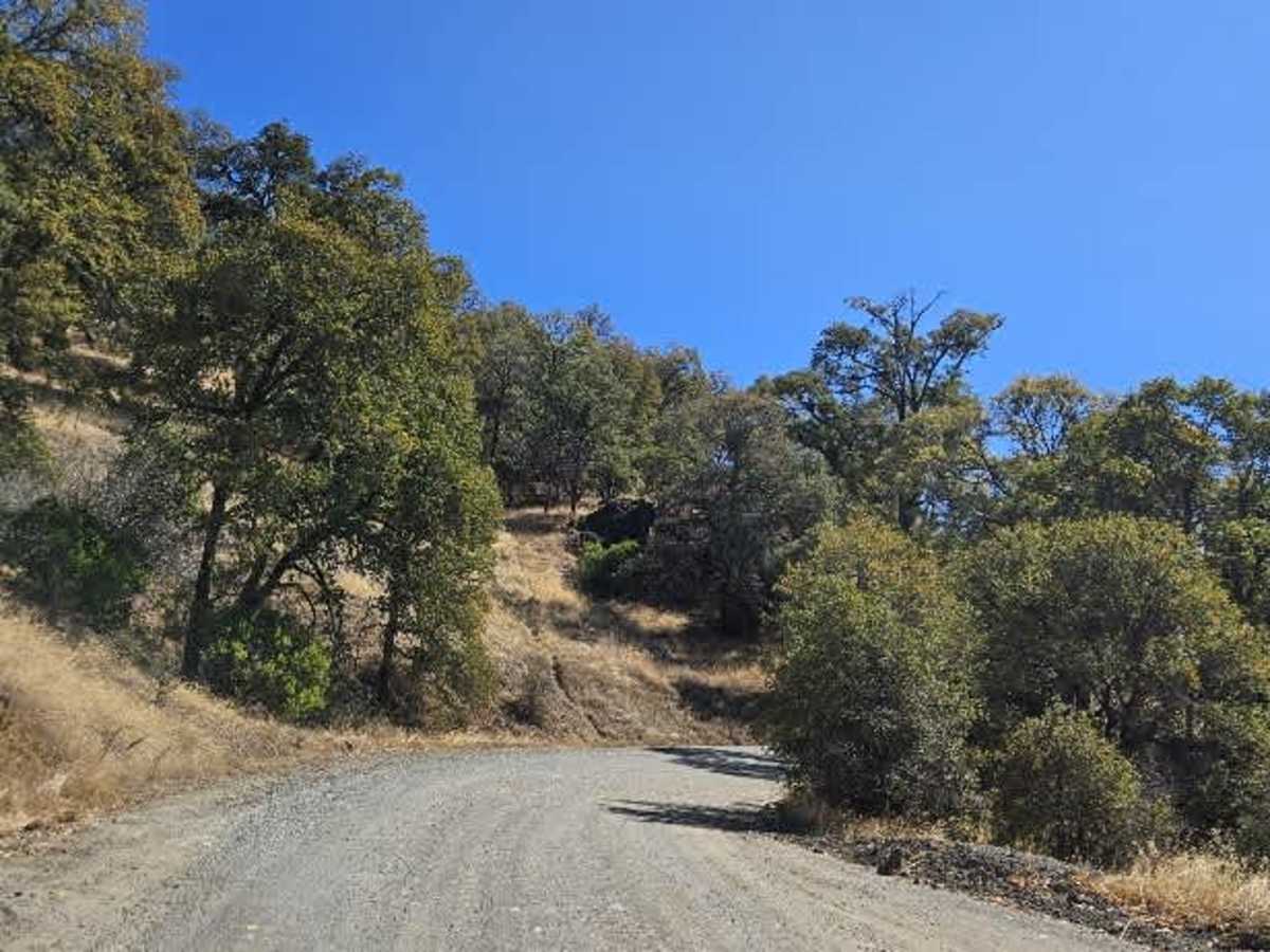
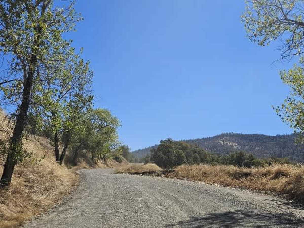
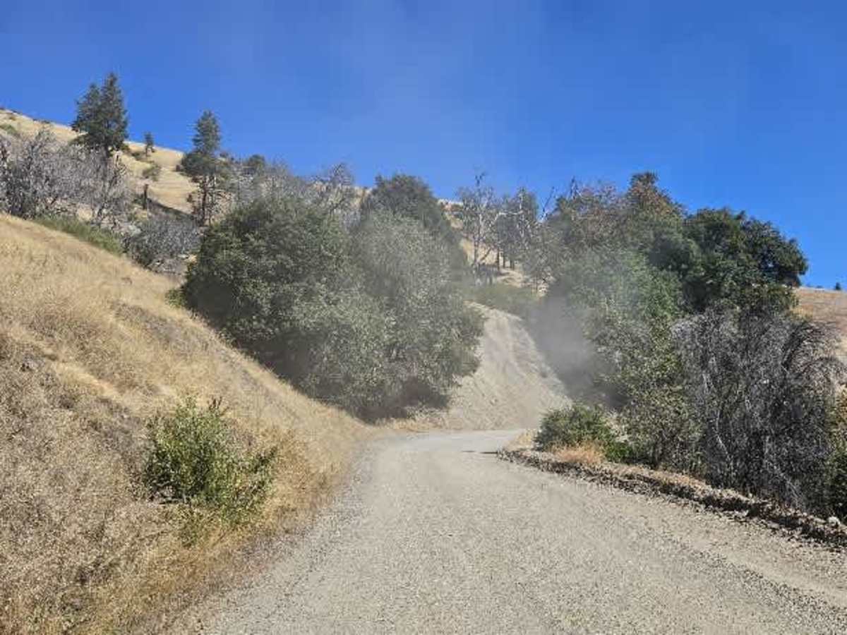
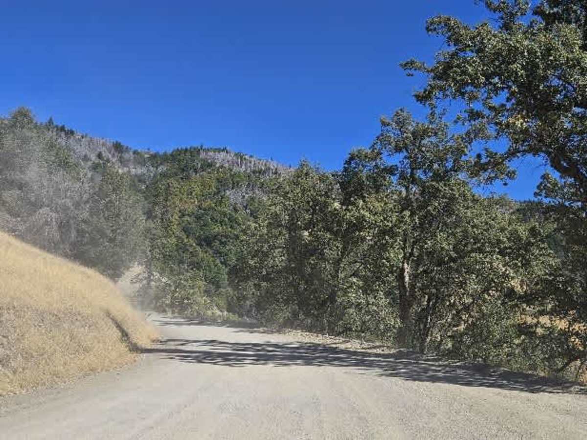
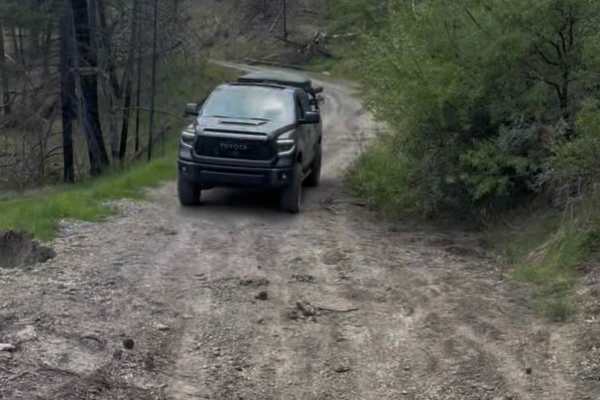
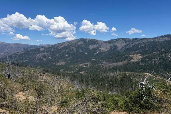
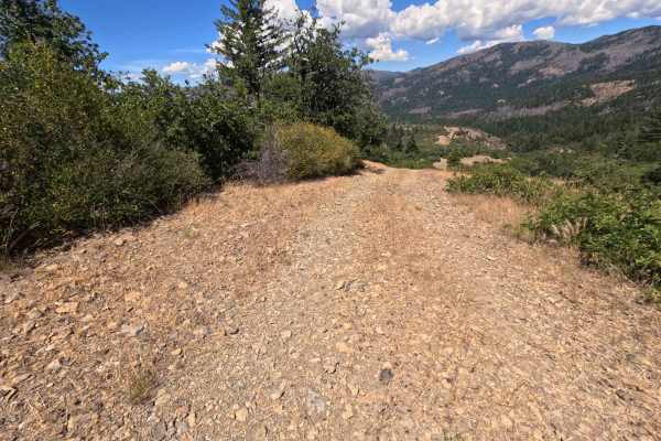
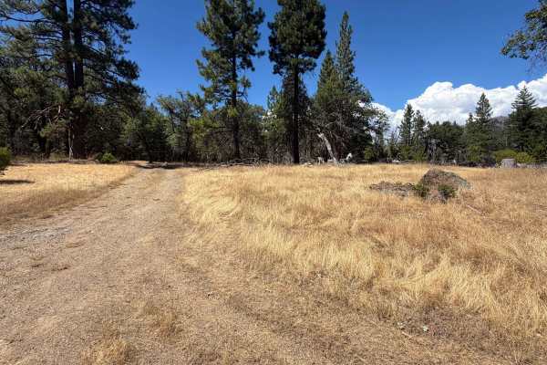
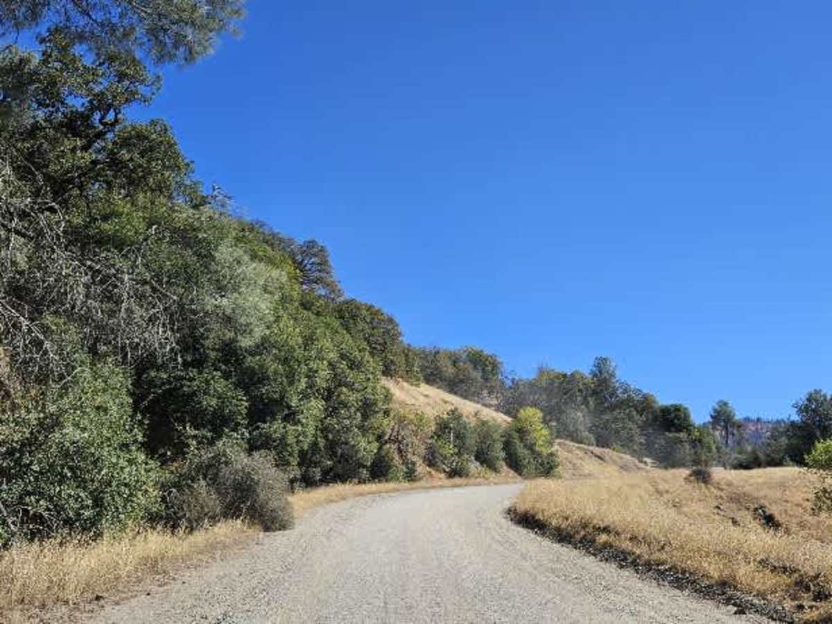
This well-maintained gravel road is frequently used by Forest Service vehicles, local farmers, residents, and other visitors. The route shifts between double-lane and single-lane sections as it steadily climbs from 2,600 feet to about 4,700 feet. The climb is consistent rather than particularly steep, and the well-maintained surface makes the route accessible to a wide range of vehicles. Along the way, the road provides beautiful views across the surrounding valley. The lower section passes through high-desert terrain with relatively sparse vegetation before continuing upward into a burned area. Despite the landscape change, the route remains a scenic, enjoyable drive, with expansive valley views and varied surroundings throughout the climb.

Photos of Forest Highway 7

Difficulty

The well-maintained surface and steady climb make this an easy trail.

Technical Rating

1

Forest Highway 7 Trail can be accessed by the following ride types:

  • High Clearance
  • Full Width

Forest Highway 7 Map

The onX Offroad Difference

onX Offroad combines trail photos, descriptions, difficulty ratings, width restrictions, seasonality, and more in a user-friendly interface. Available on all devices, with offline access and full compatibility with CarPlay and Android Auto. Discover what you're missing today!

Open Trail Map