Trail Overview
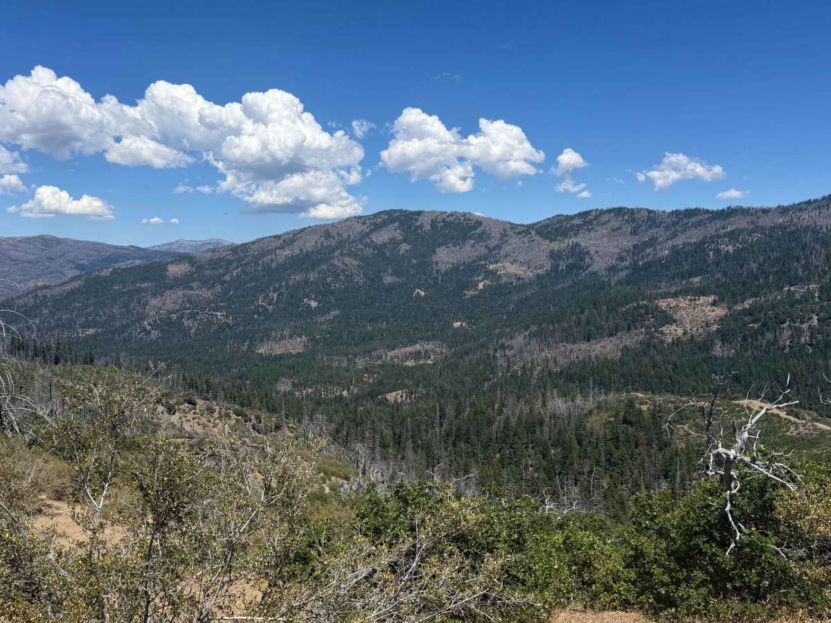
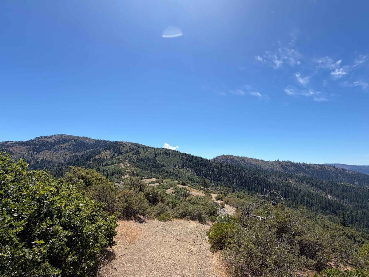
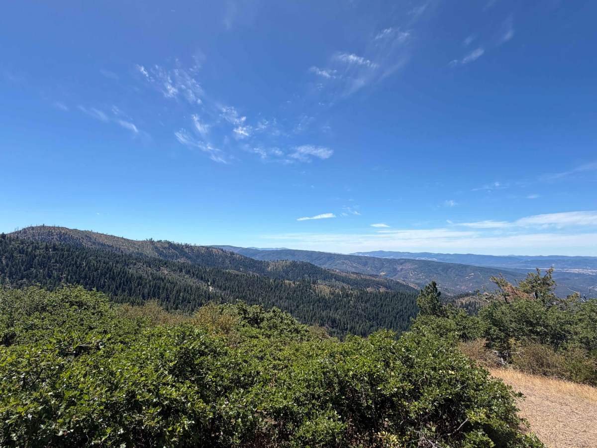
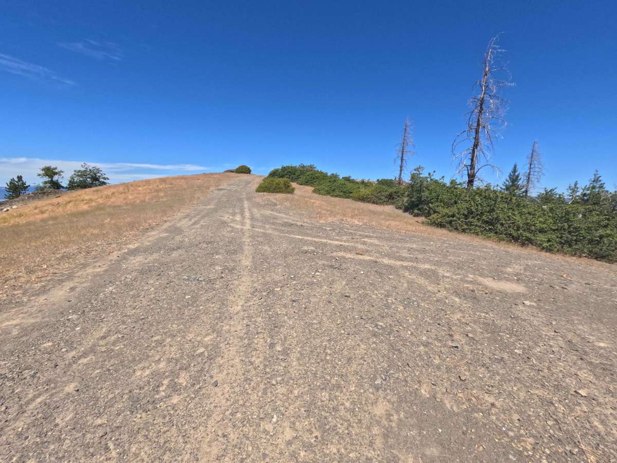
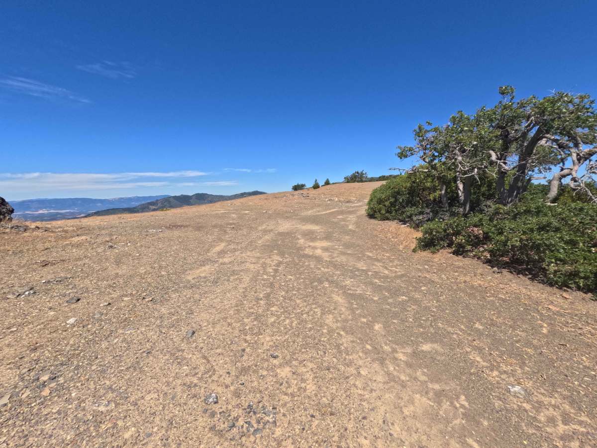
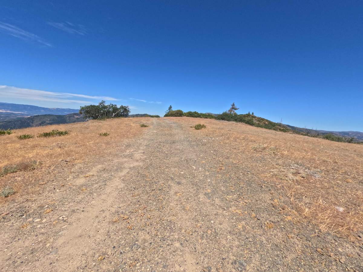
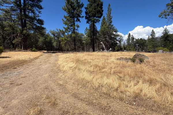
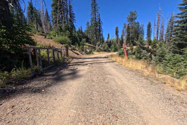
Accessed directly off Little Baldy Road (FS 23N17), Fly (FS 23N17A) is a concise yet dramatic out-and-back ridge spur that climbs straight up the mountain crest. Traversing exposed high-altitude terrain within Mendocino National Forest, the surrounding landscape showcases sweeping mountain vistas across forestlands continuing their recovery from the 2020 August Complex Fire while skirting the boundary of the Yolla Bolly-Middle Eel Wilderness. This single-lane route features a firm earth and loose gravel surface ascending a steep slope, earning a solid Technical Rating of 2. Outdoor enthusiasts utilize this elevated perch primarily to reach a solitary primitive campsite perched at the summit. The hilltop turnaround offers enough room for up to two standard-sized vehicles to park and take in magnificent 360-degree panoramic views of the surrounding valleys and distant mountain ranges.
Difficulty
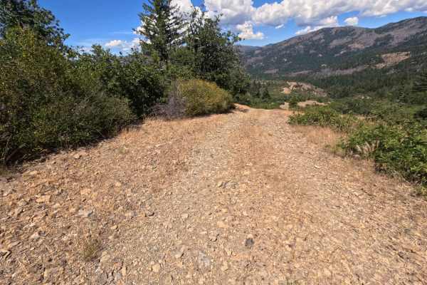
Earning a Technical Rating of 2, this short ridge climb is dominated by a brisk, continuous incline over a loose gravel and rocky dirt foundation. Maintained momentum is helpful when ascending the hill, as loose surface stones can test traction. While the track remains free of major rock ledges or deep ruts, the tight space at the summit turnaround and narrow path make it unsuited for oversized rigs.