Footman Ridge - FS 5S025

Total Miles9.4
Technical Rating
1Easy
Best TimeSpring, Summer, Fall
Trail TypeFull-Width Road
Accessible By
Open Trail Map

Trail Overview

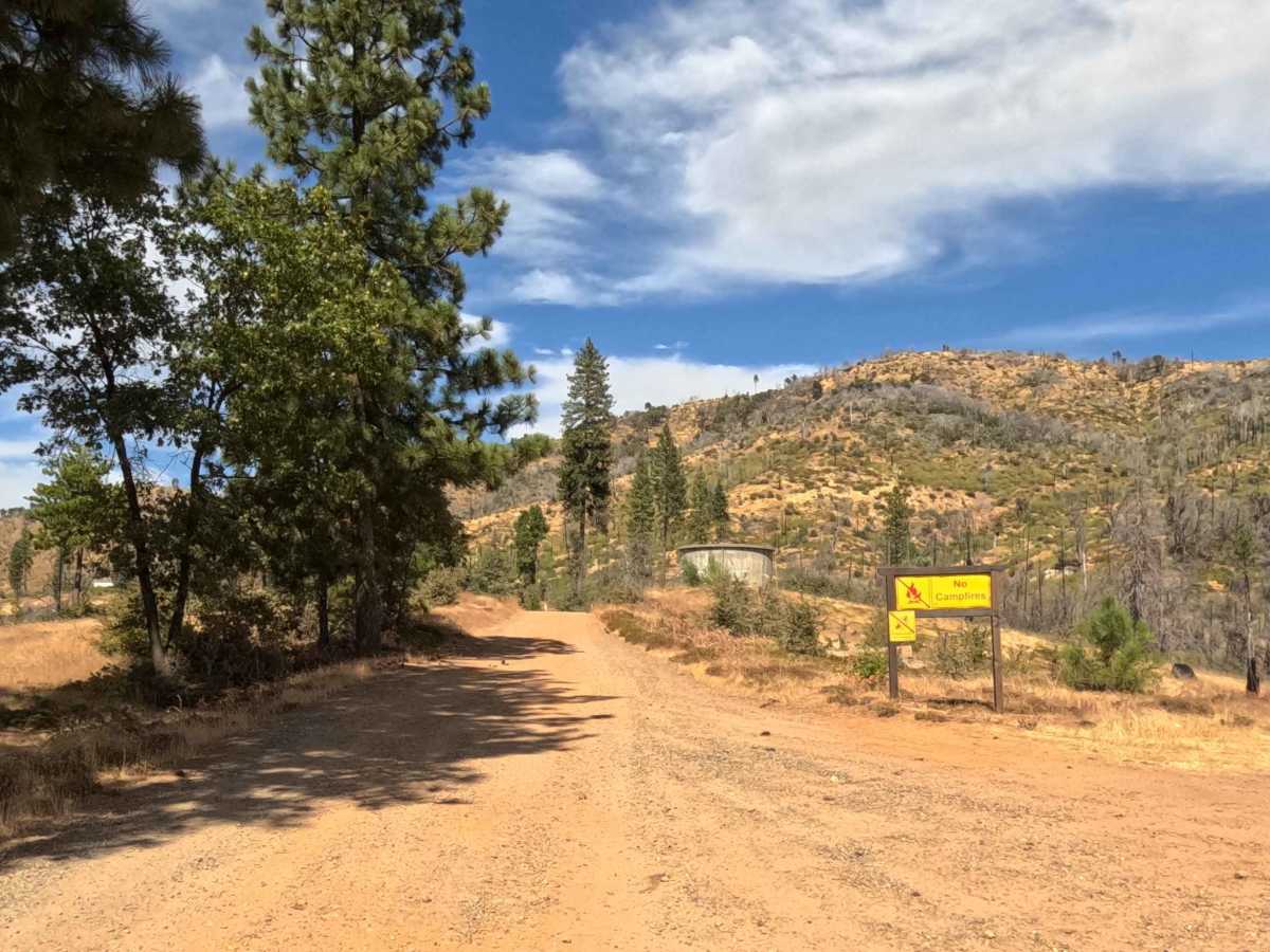
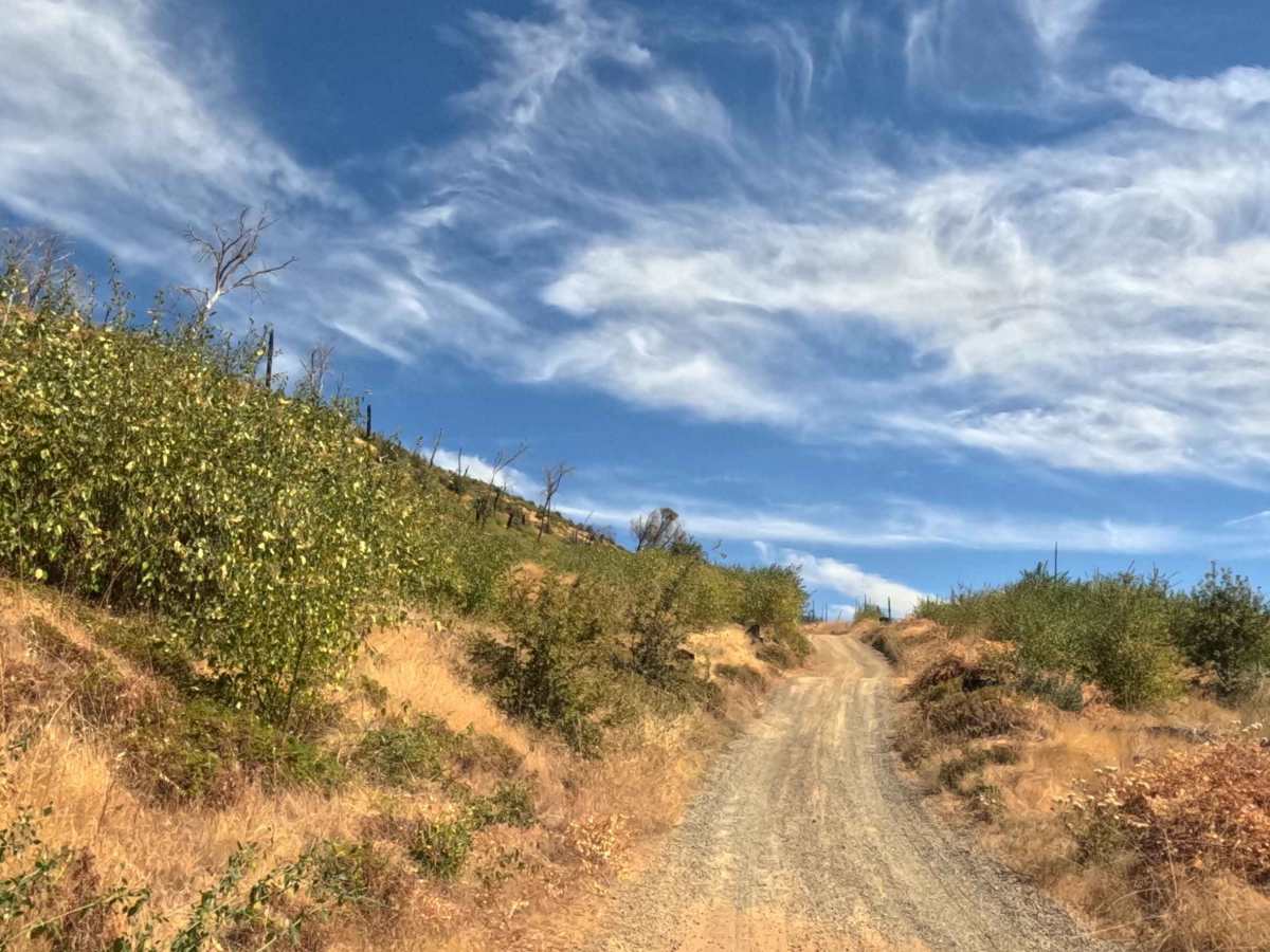
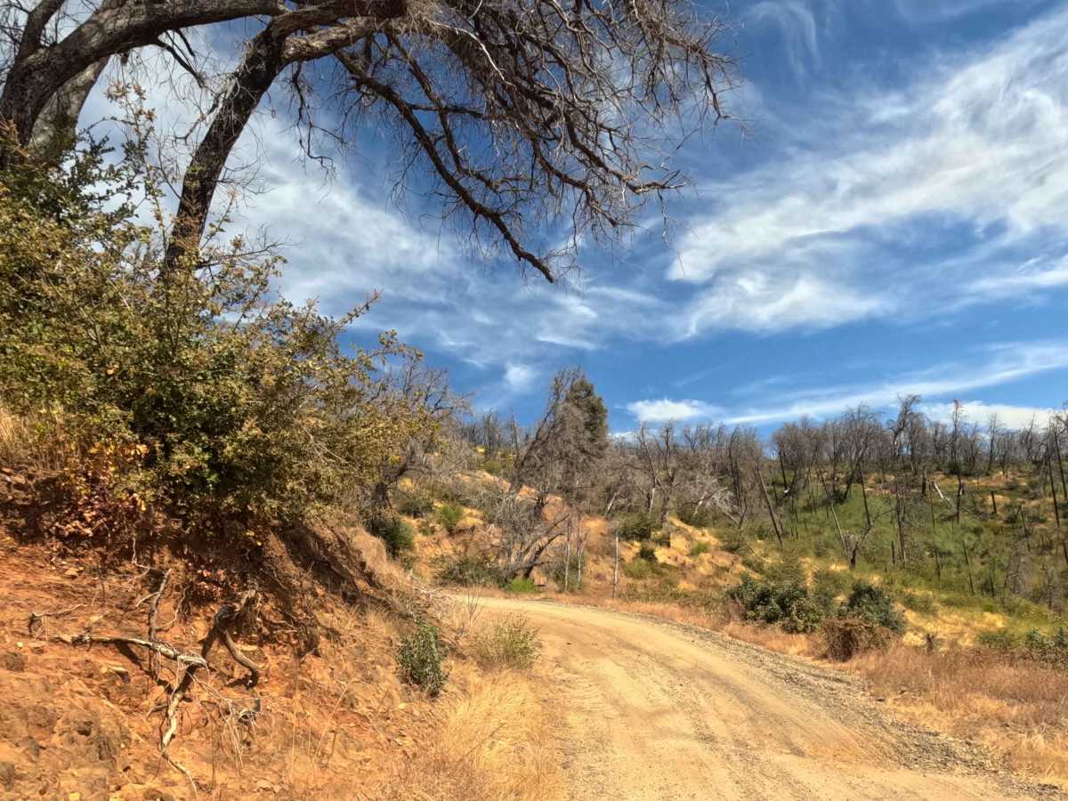
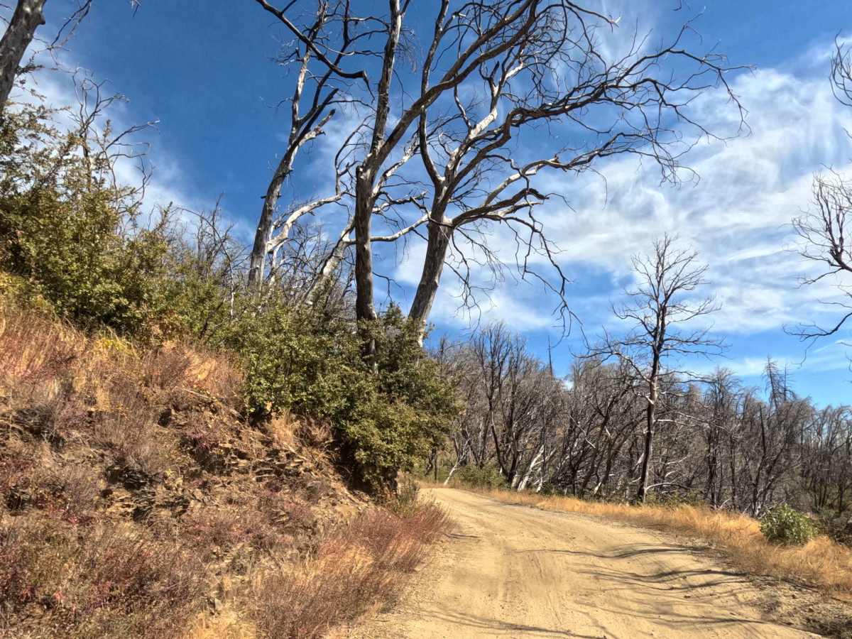
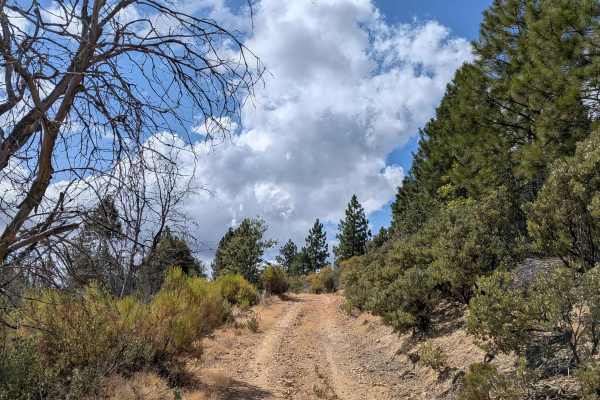
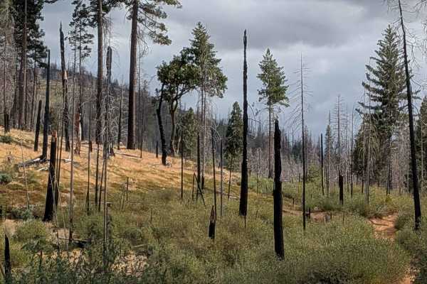
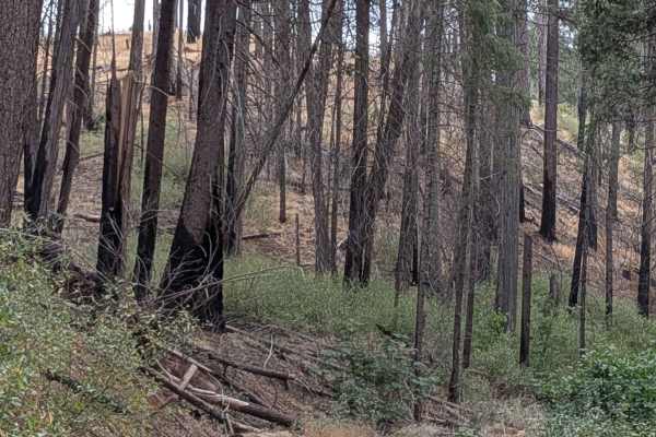
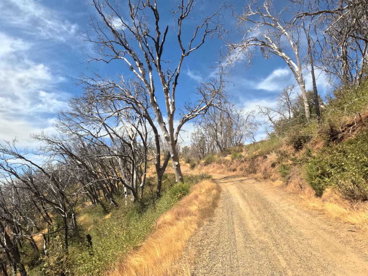
This is a scenic, 9.5-mile single-lane dirt road that rapidly gains elevation as it climbs through the forest impacted by the 2022 Oak Wildfire. The route offers dramatic, expansive views due to the lack of tree cover, but the terrain is now highly exposed. The surface is primarily dry, packed red dirt, allowing for fast travel. Numerous spurs, including Snider Loop, have been closed or abandoned since the fire.

Photos of Footman Ridge - FS 5S025

Difficulty

This route requires no technical 4WD skill and is manageable for most passenger cars when dry. High clearance is recommended only for navigating the initial broken asphalt at the Jerseydale end and the minor erosion ruts on the climb.

Technical Rating

1

Status Reports

Add Status Report
Lori Perlman
Aug 09, 2026
2021 Toyota 4Runner
Open
NormalDusty
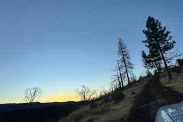
Clear up there. Nice place to be in the evening.
Ricardo Bautista
Jan 11, 2026
Open
Muddy/WetSnow/Ice
We came across a big tree stump and moved it the best we could with what we had. Got us through
Sterling Blom
Dec 27, 2025
Obstructed
Downed Tree
Huge down tree stump blocking road

Footman Ridge - FS 5S025 Trail can be accessed by the following ride types:

  • High Clearance
  • Full Width

Footman Ridge - FS 5S025 Map

The onX Offroad Difference

onX Offroad combines trail photos, descriptions, difficulty ratings, width restrictions, seasonality, and more in a user-friendly interface. Available on all devices, with offline access and full compatibility with CarPlay and Android Auto. Discover what you're missing today!

Open Trail Map