Trail Overview
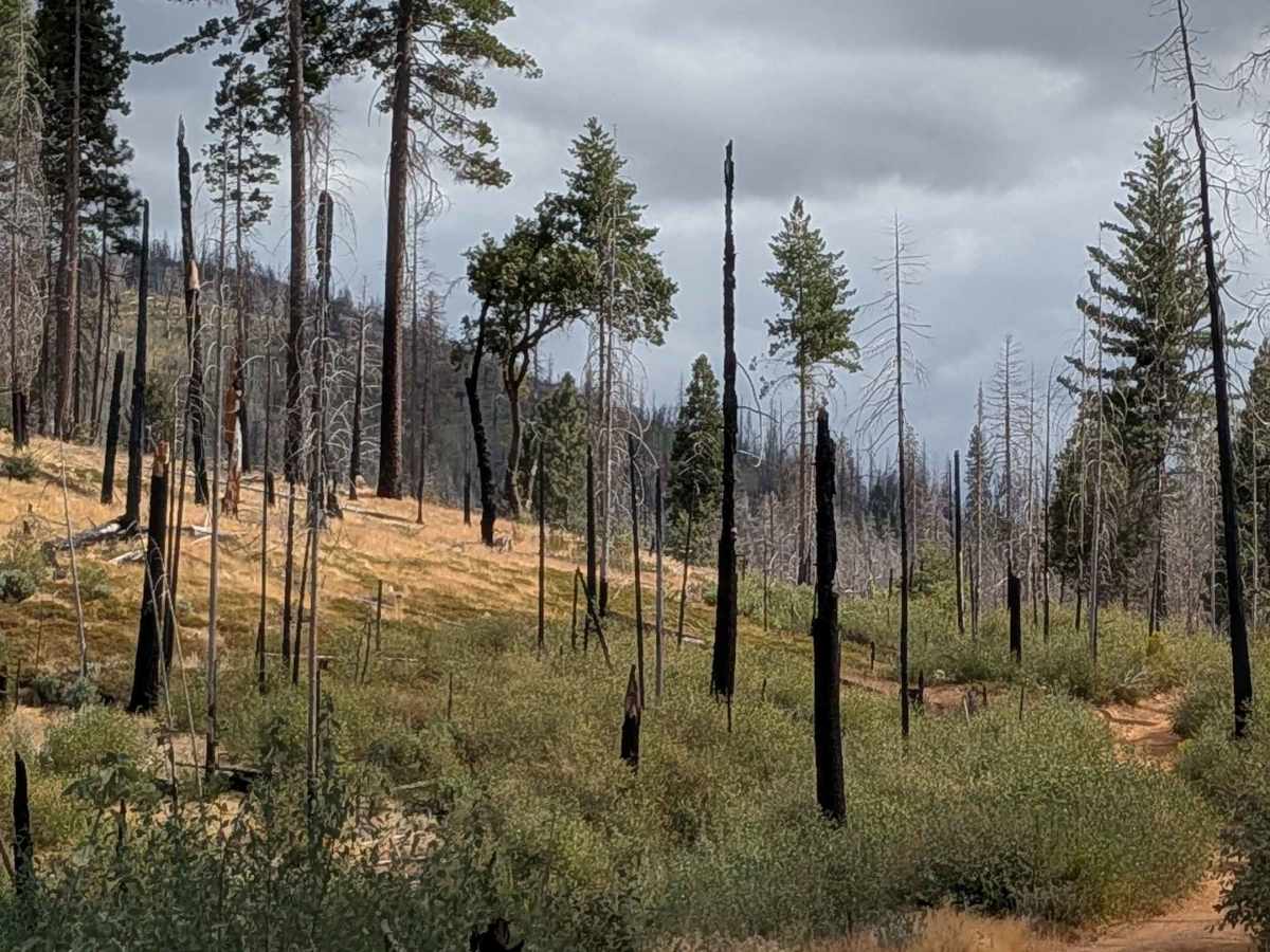
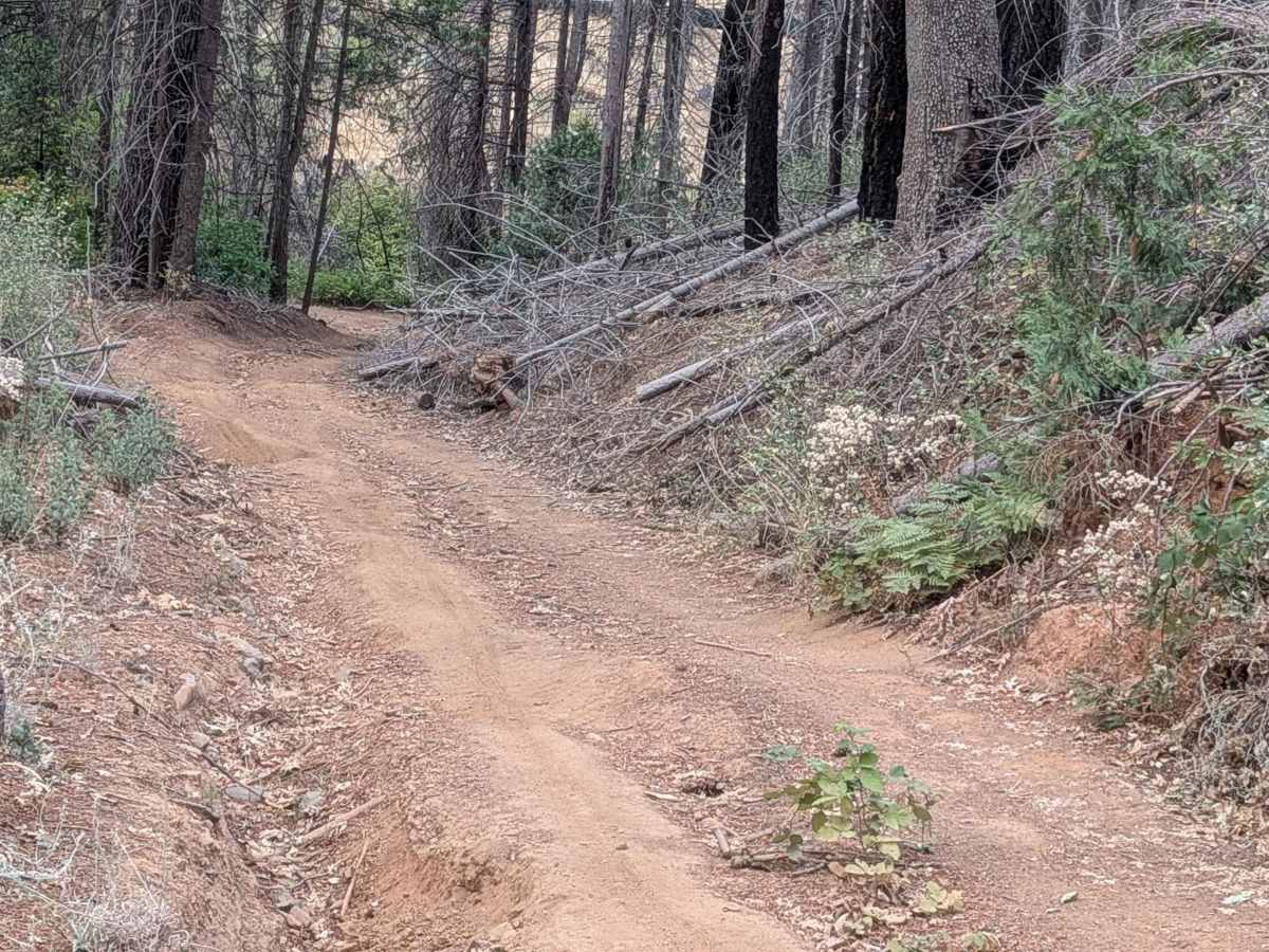
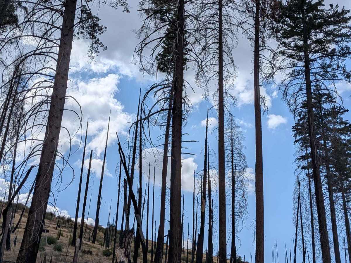
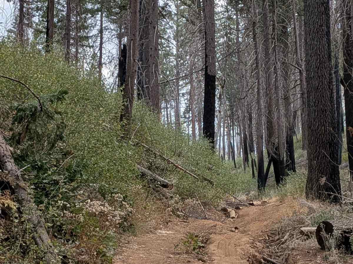
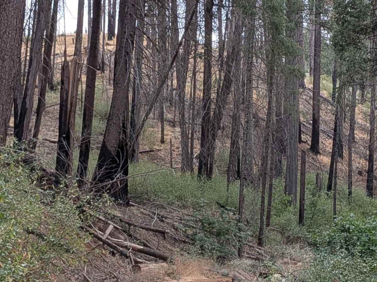
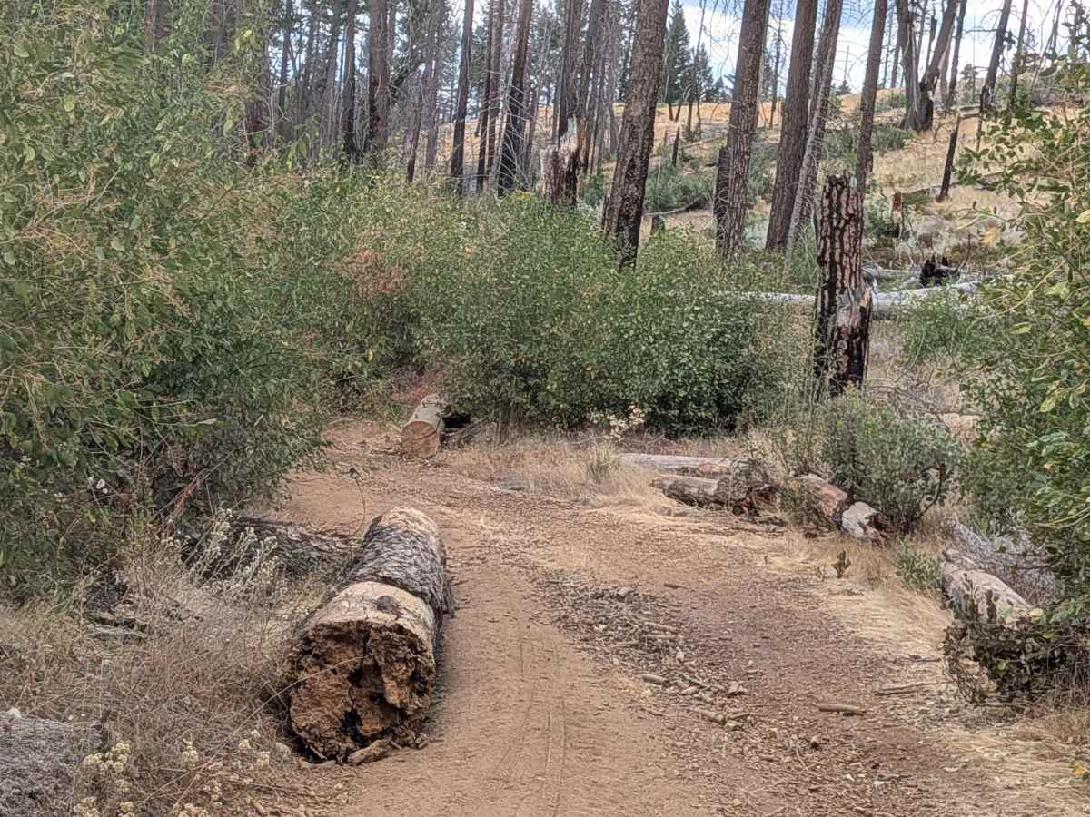
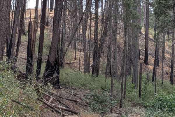
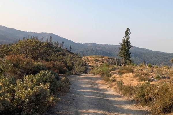
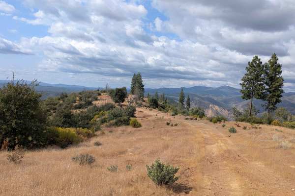
This trail connects Ferguson Ridge to the Sweetwater Ridge and Sweetwater Creek junction, climbing 220 feet and dropping just over 500 feet in less than a mile and a half. The very sandy trail cuts through hills affected by recent forest fire, creating a landscape of burned terrain and recovery vegetation. The route is characterized by numerous off-camber sections, ruts, and dips created by water crossing the trail during runoff periods. As a single vehicle-wide trail with abundant brush lining both sides, vehicles will almost certainly receive Sierra pinstripes throughout the journey. The trail presents multiple obstacles, including logs that require maneuvering around and some low-hanging branches that will contact most vehicles. Wildlife encounters are common, particularly with mule deer, and mountain bikers also use this route, requiring awareness and courtesy from all users. At the 0.75-mile mark, a creek crossing presents a significant challenge as the water is too deep for safe vehicle passage, though a makeshift bridge exists for those willing to cross at their own risk. Some ruts exceed 18 inches in depth, creating serious clearance challenges that demand high ground clearance and careful line selection. The trail also requires crossing over a small branch obstacle that adds to the technical demands. From the other side, the trail ends less than a mile in due to various downed trees.
Difficulty
This trail receives a difficulty rating of 4, indicating challenging conditions that require advanced off-road driving skills and capable equipment. High clearance 4x4 is strongly recommended due to the extremely deep ruts, some exceeding 18 inches. The combination of steep grades, technical obstacles, a questionable creek crossing, and challenging terrain makes this suitable only for experienced drivers with well-equipped vehicles.