Trail Overview
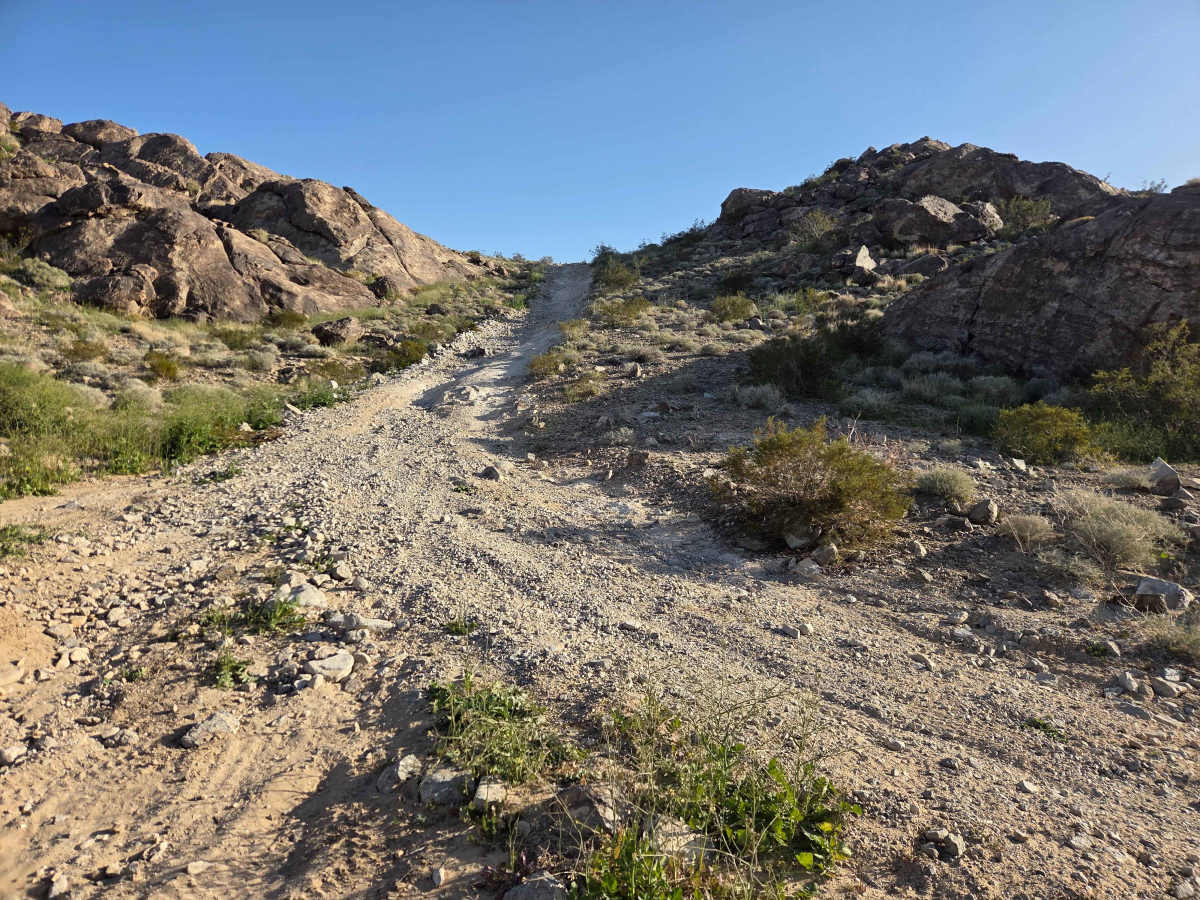
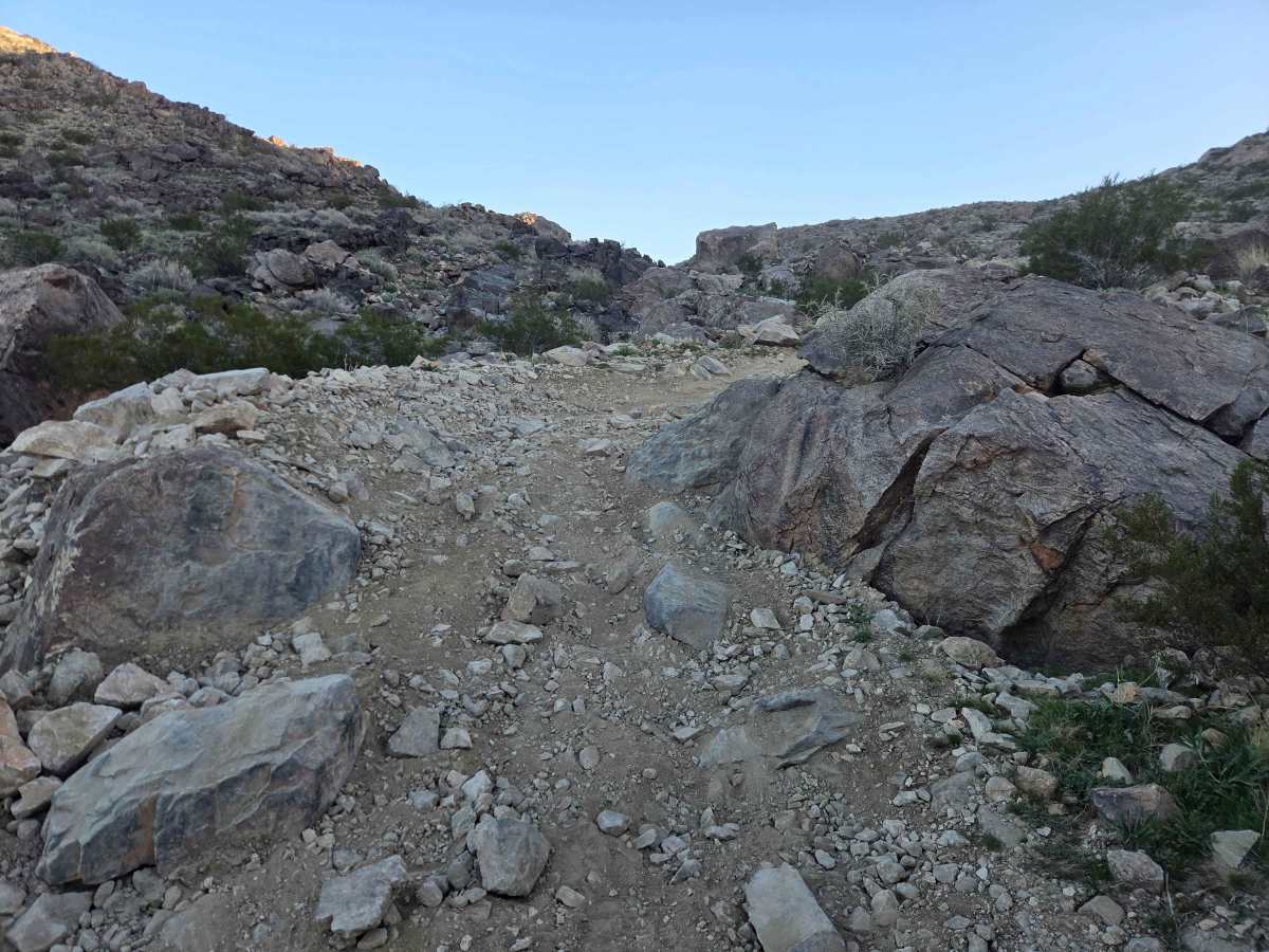
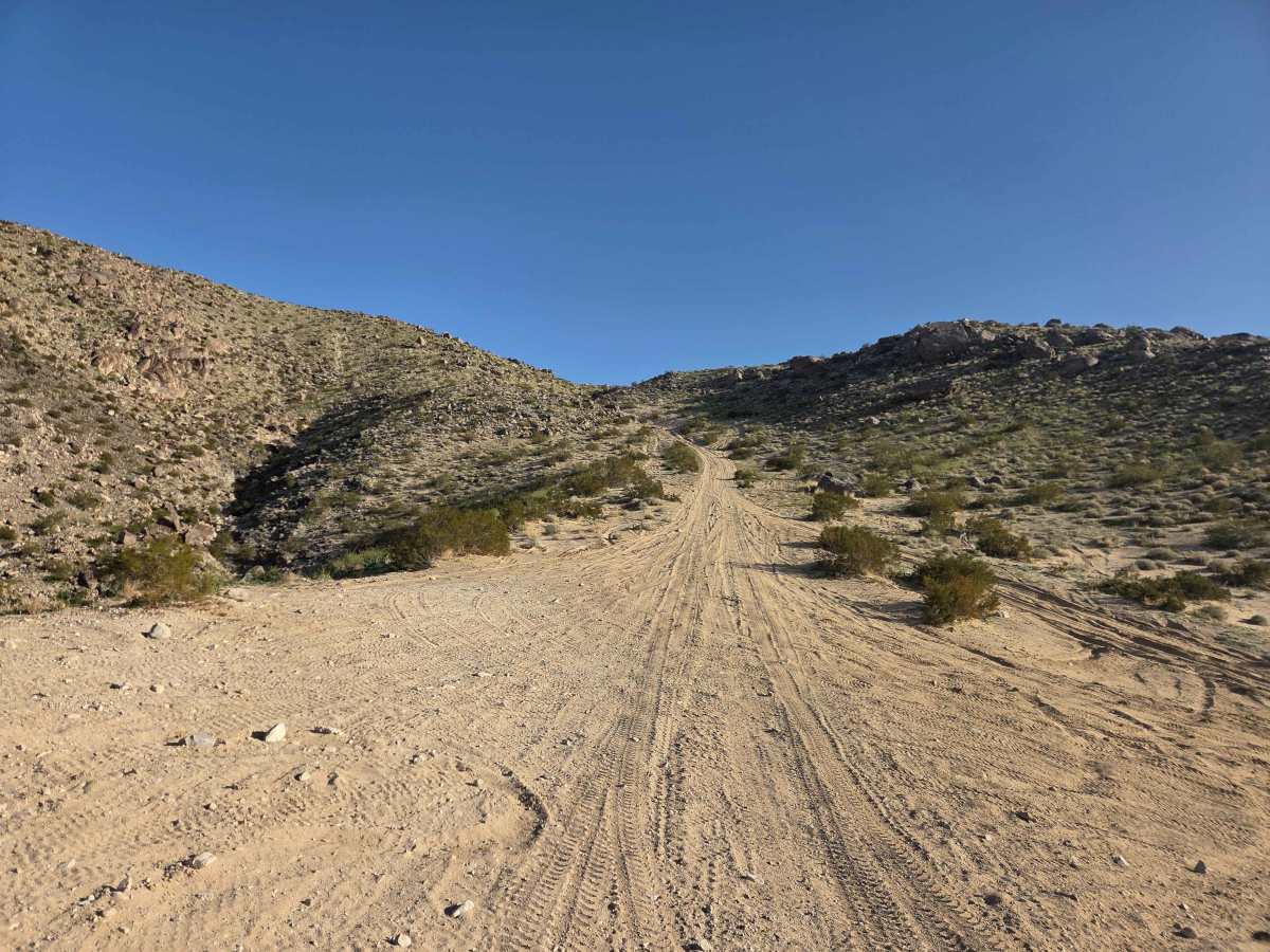
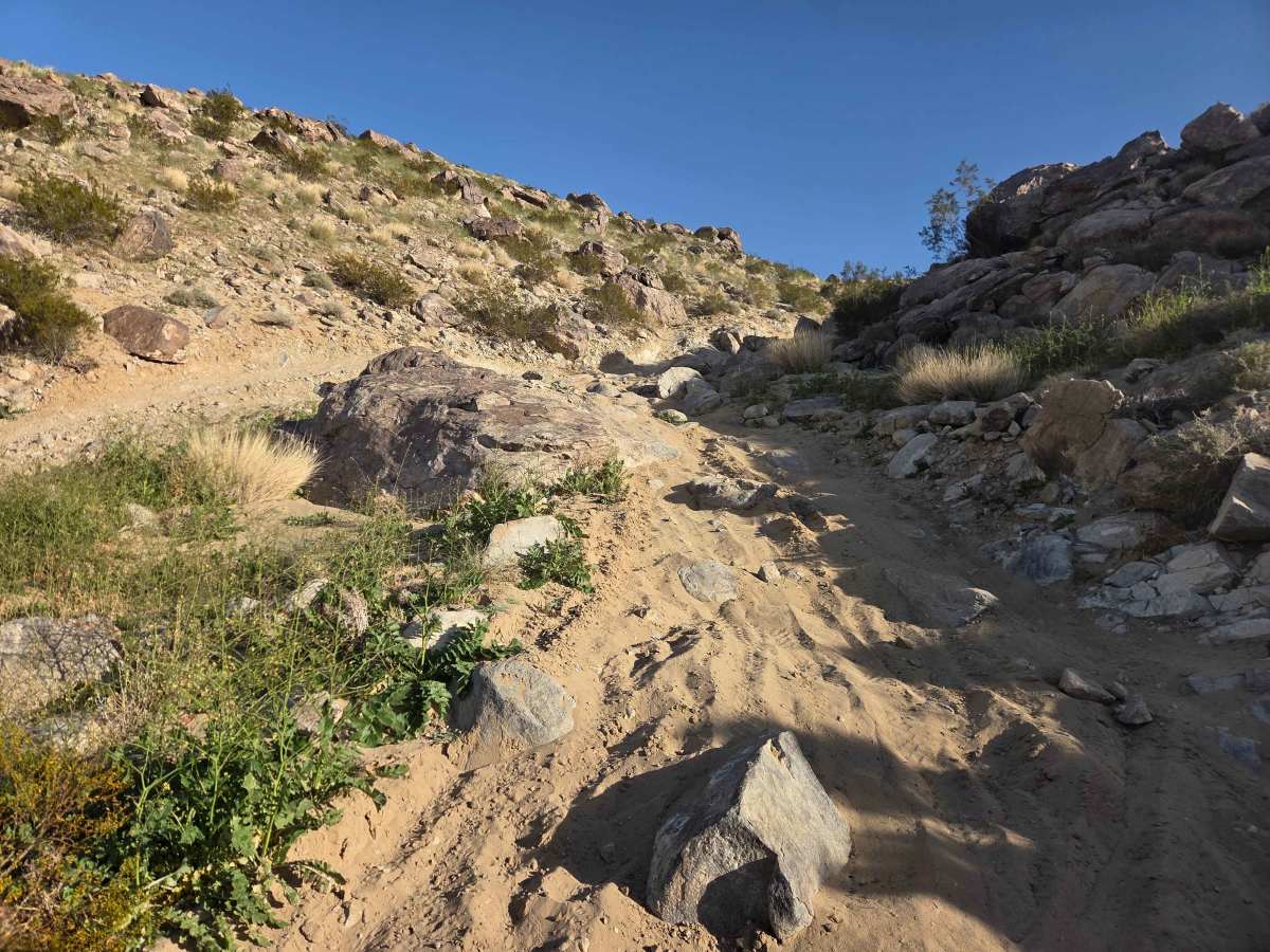
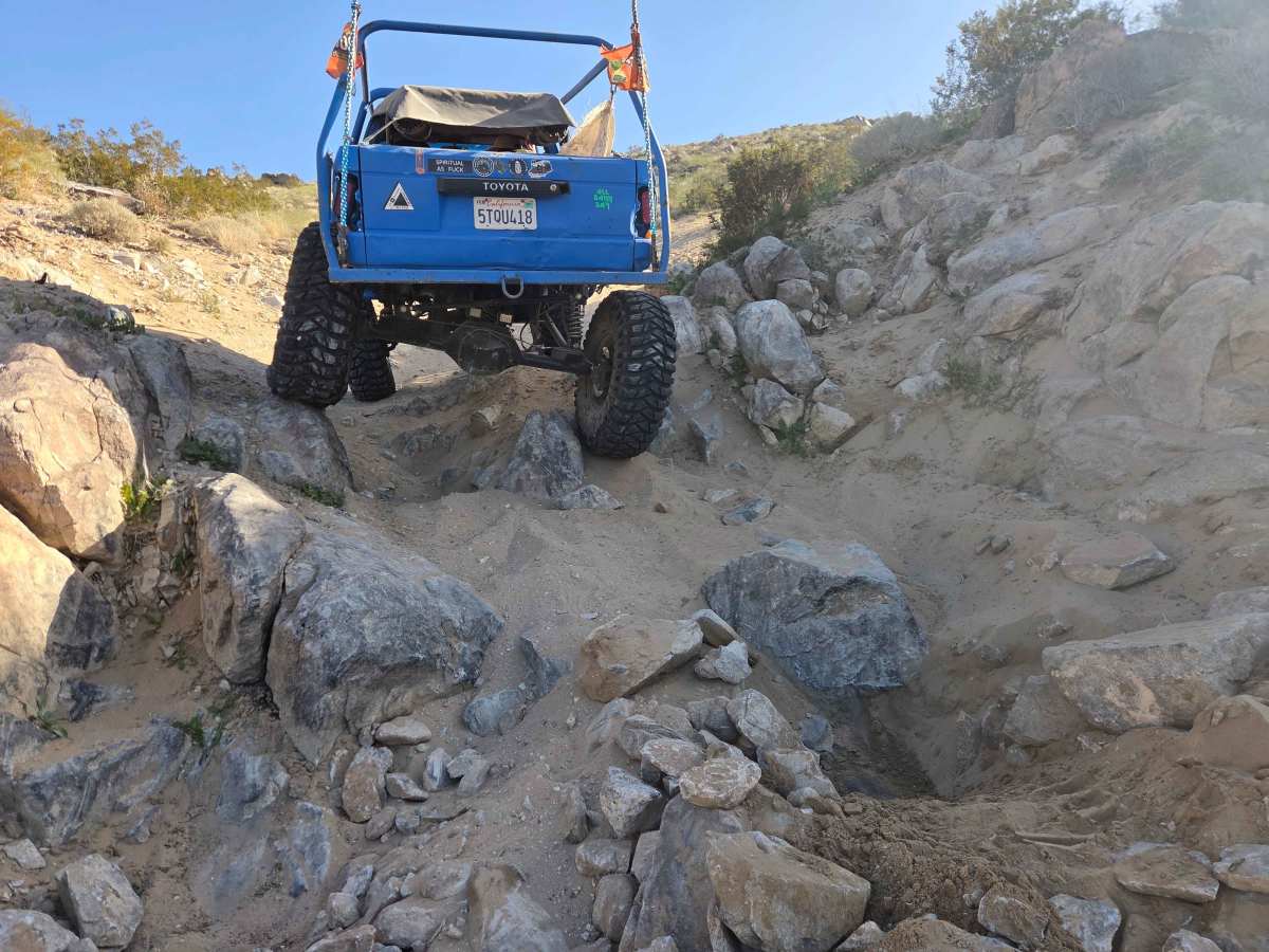
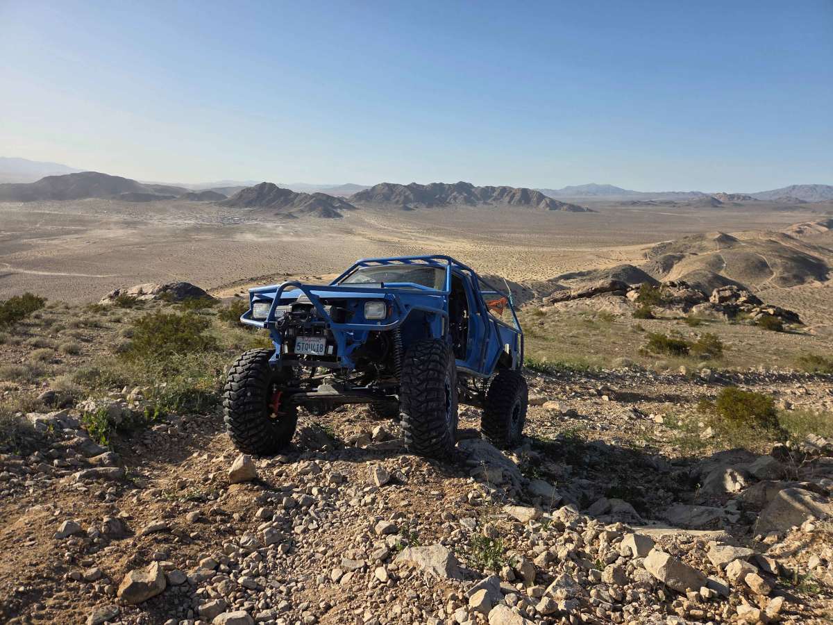
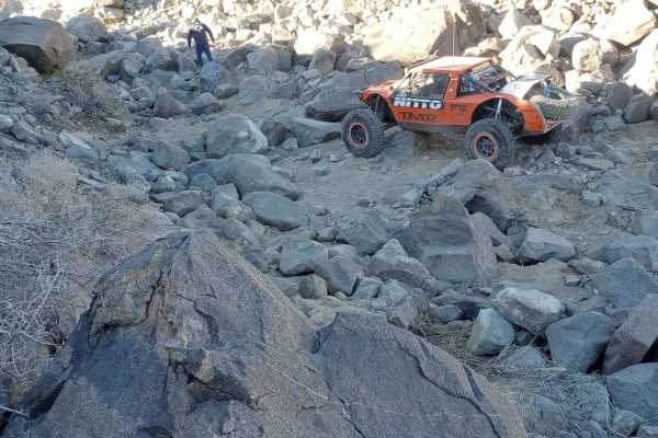
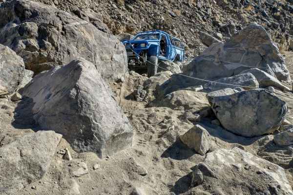
Fissure Mountain is often confused with Fisher Mountain. The name "Fissure" refers to the visible damage and cracks from the 1992 Landers earthquake. This is one of the easier (and longest) trails in Johnson Valley, making it a great way to explore the area and enjoy some of the best panoramic views in the region—especially from the top of Fissure Mountain. No matter which side you approach from, expect a couple of gatekeeper obstacles at either end. The trail has become more challenging over the years due to ongoing erosion and deepening ruts. There are a few bypass options available, but the easier route is generally to run it from the north side of the mountain to the south side. Expect some side-hill sections, steep terrain, and ever-changing conditions—things shift with weather, traffic, and time. There are a few rocks to crawl over, and depending on the year, they tend to stay smaller than 18-inches tall.
Difficulty
Depending on the year, there can be some bigger holes dug out in the rocks to cross, but for the most part, you can work your way up and around the bigger up to 18-inch obstacles. There are a couple of off-camber sections you want to be careful with, especially if you choose to climb from south to the north side. For the easiest direction, head up from the north side and run the trail south.
History
Fissure Mountain is named for the huge cracks (fissures) in the earth's surface created by the magnitude 7.3 Landers earthquake on June 28, 1992. This was a right-lateral strike-slip event that produced an extensive surface rupture, spanning about 70–85 kilometers (43–53 miles) across multiple faults, including the Johnson Valley fault in this area. Maximum horizontal displacements reached up to about 18 feet (5.5 meters), with some vertical offsets as well. The Fissure Mountain trail crosses right over the fault line. If you know what to look for, you can still spot the dramatic fissures and scarps left by the earthquake—visible reminders of one of the most significant seismic events in modern California history.