Trail Overview
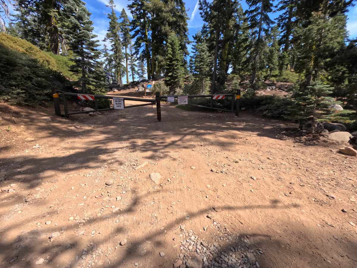
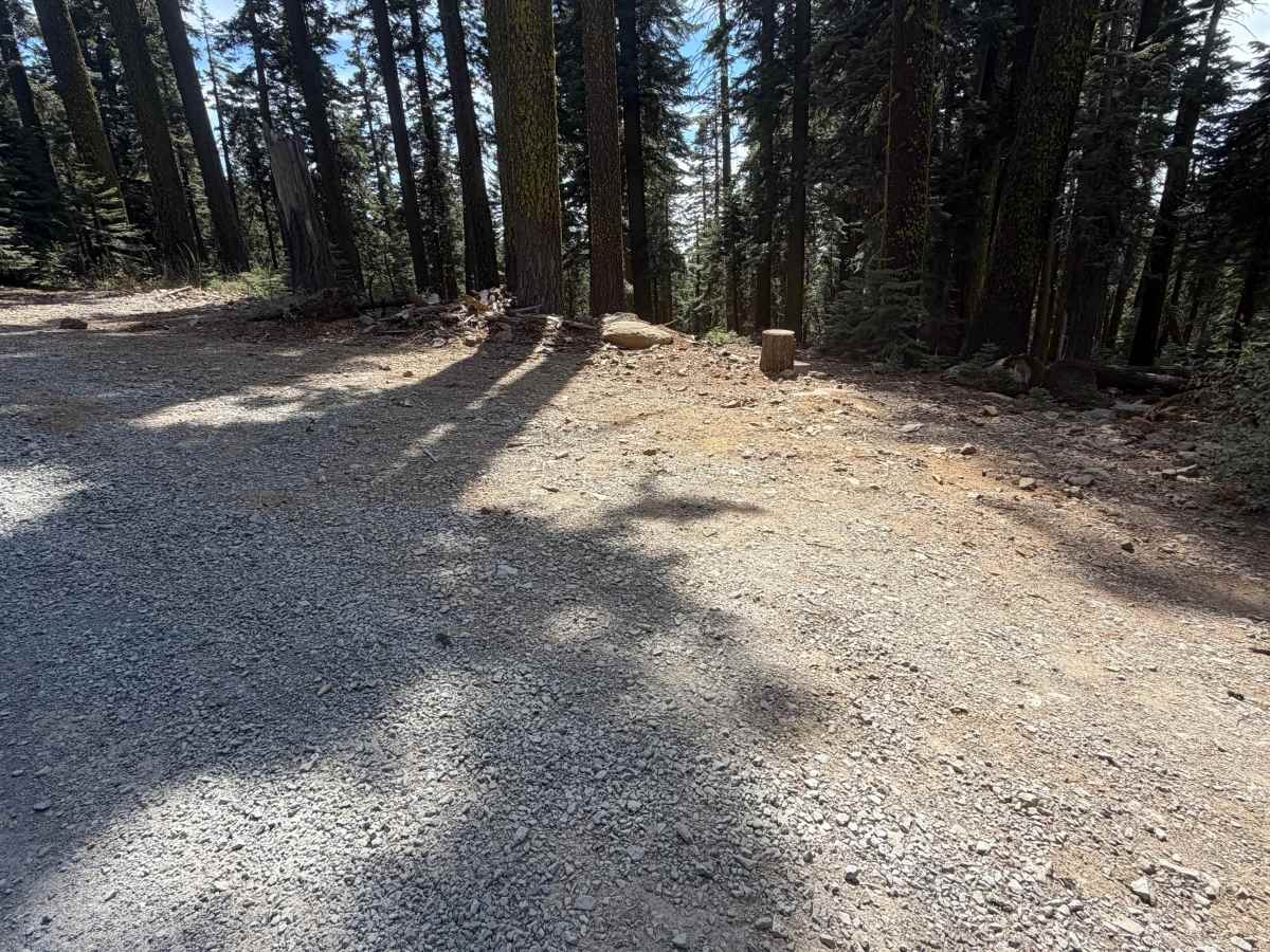
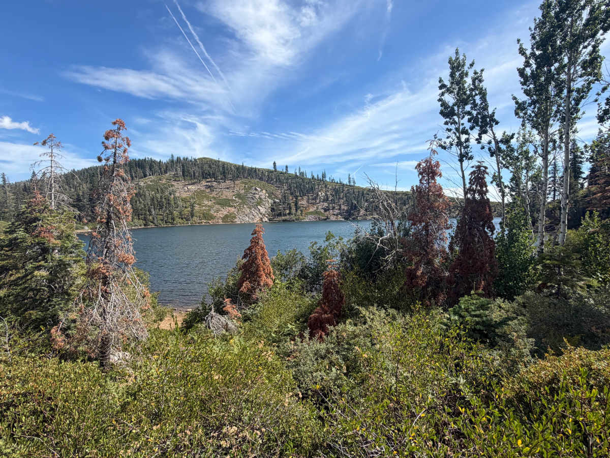
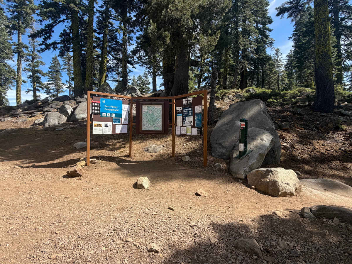
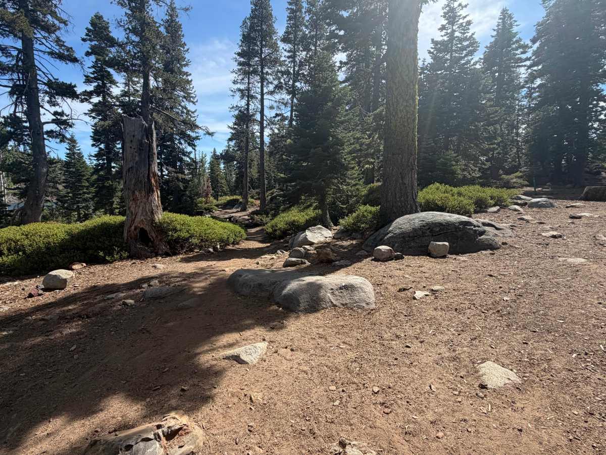
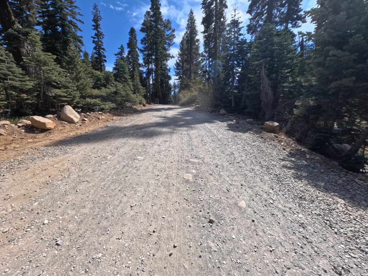
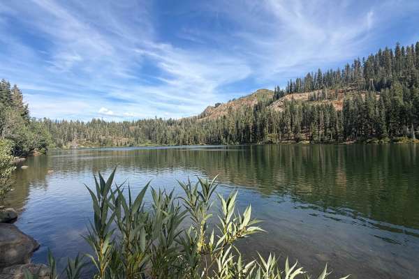
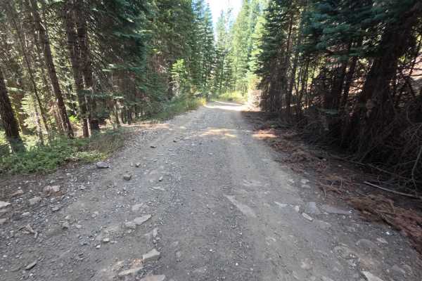
Feeley Lake - FS 17-006 branches off FS 17 as a wide, well-graded gravel spur within the Tahoe National Forest, climbing gently uphill toward a cluster of campgrounds serving the Carr Lake and Feeley Lake area. The route gains roughly 270 feet of elevation over its 0.7-mile run, a mild, steady climb on a wide, rocky gravel surface that stays easy for any vehicle capable of basic forest road travel. Boulders line sections of the roadside, helping define the route's edges through the forest. At about 0.5 miles, a small pullout offers space for one vehicle to disperse camp. The spur ends near a popular trailhead area, where visitors can park and continue on foot toward Carr Lake and Feeley Lake. Elevation here runs noticeably higher than nearby zones, and travel is best in Summer and Fall.
Difficulty
Feeley Lake - FS 17-006 rates a 1, the easiest classification on the scale. The wide gravel surface stays smooth and well-graded for the entire climb, with a gentle, consistent grade that never challenges traction or clearance. No ruts, obstacles, or narrow sections interrupt the route, and boulders placed along the roadside simply mark the edges rather than posing any technical difficulty. The rating holds at 1 because nothing on this spur requires anything beyond basic forest road driving, even as the road gains elevation on its way toward the trailhead.