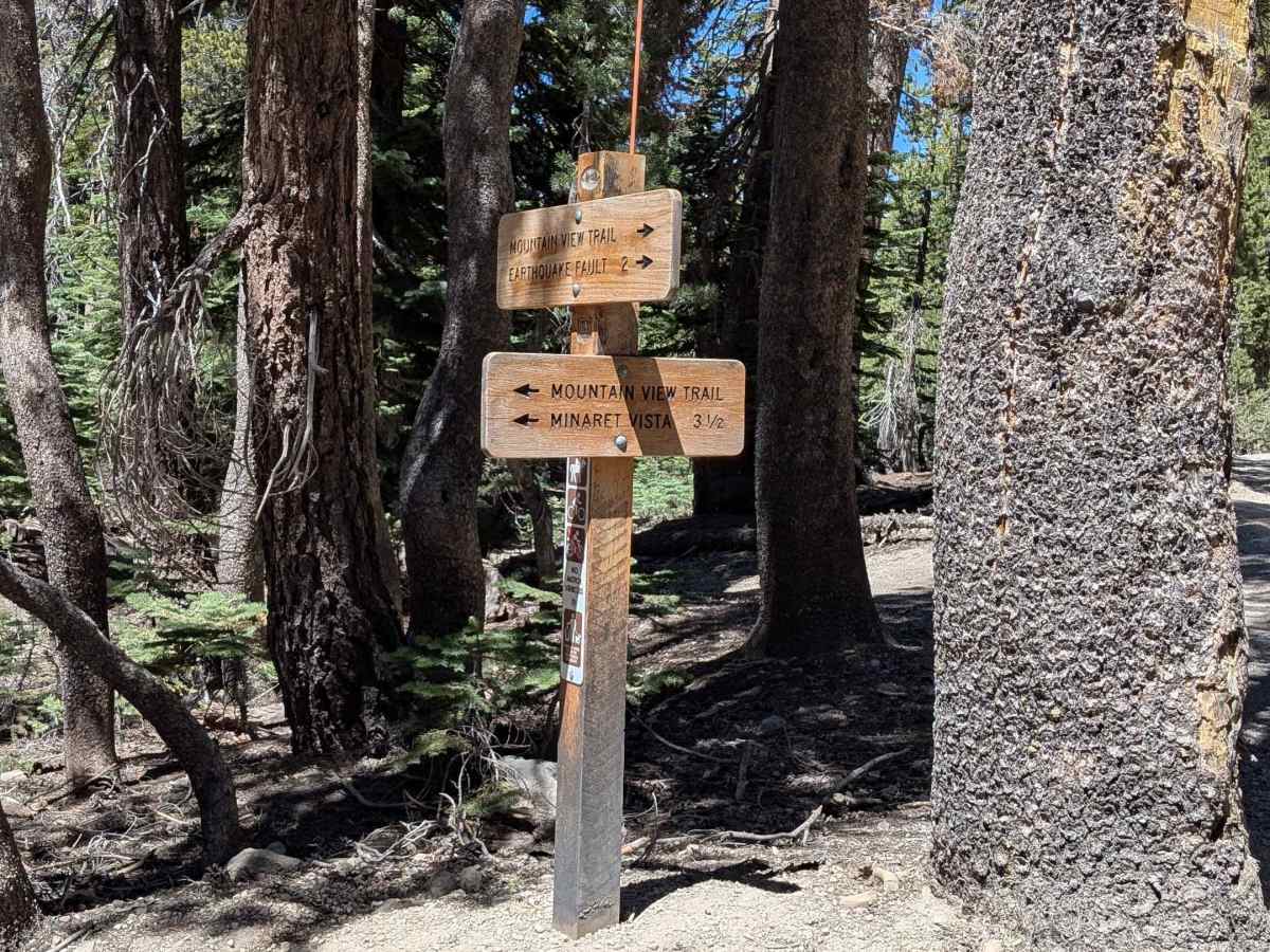
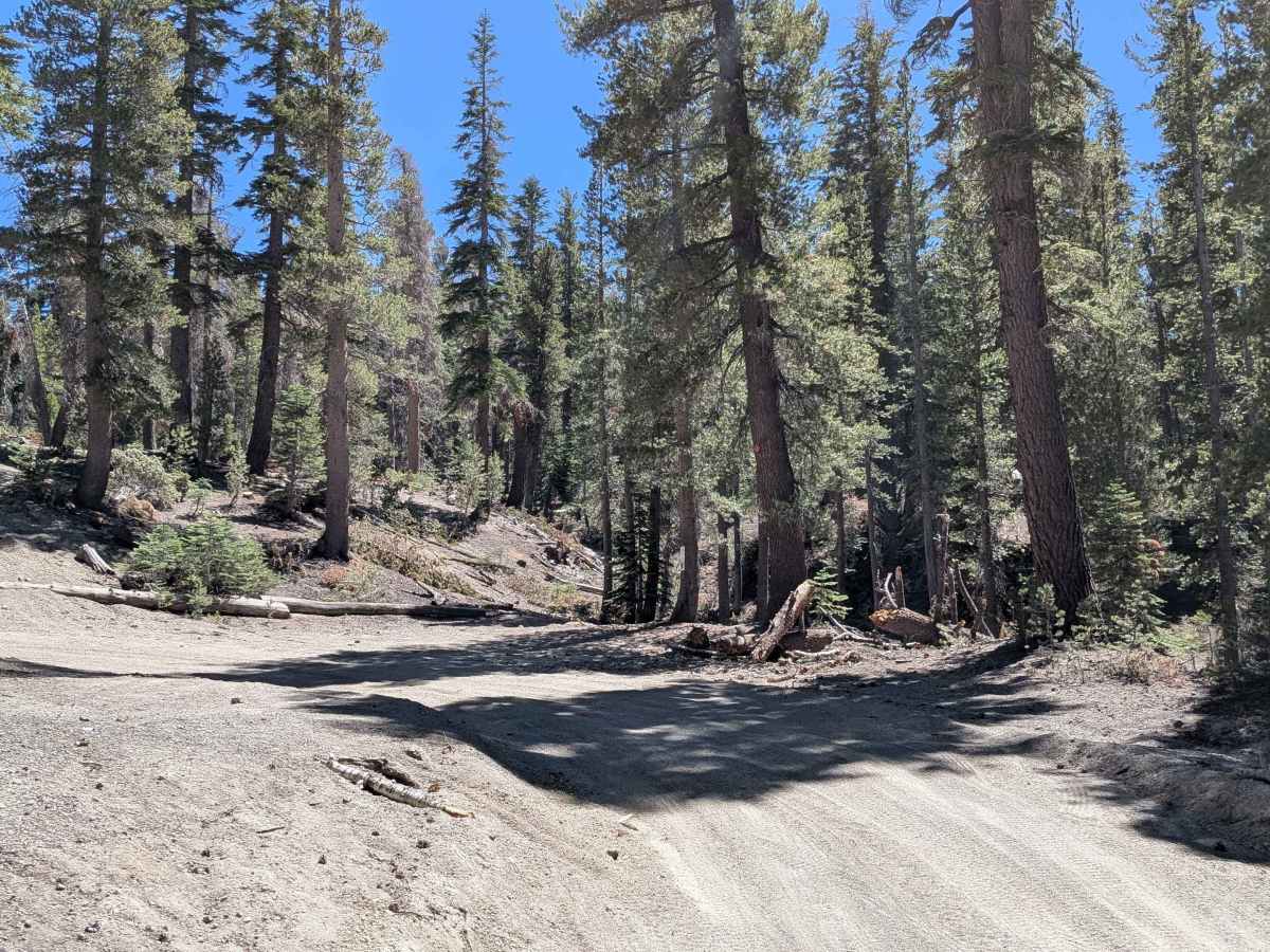
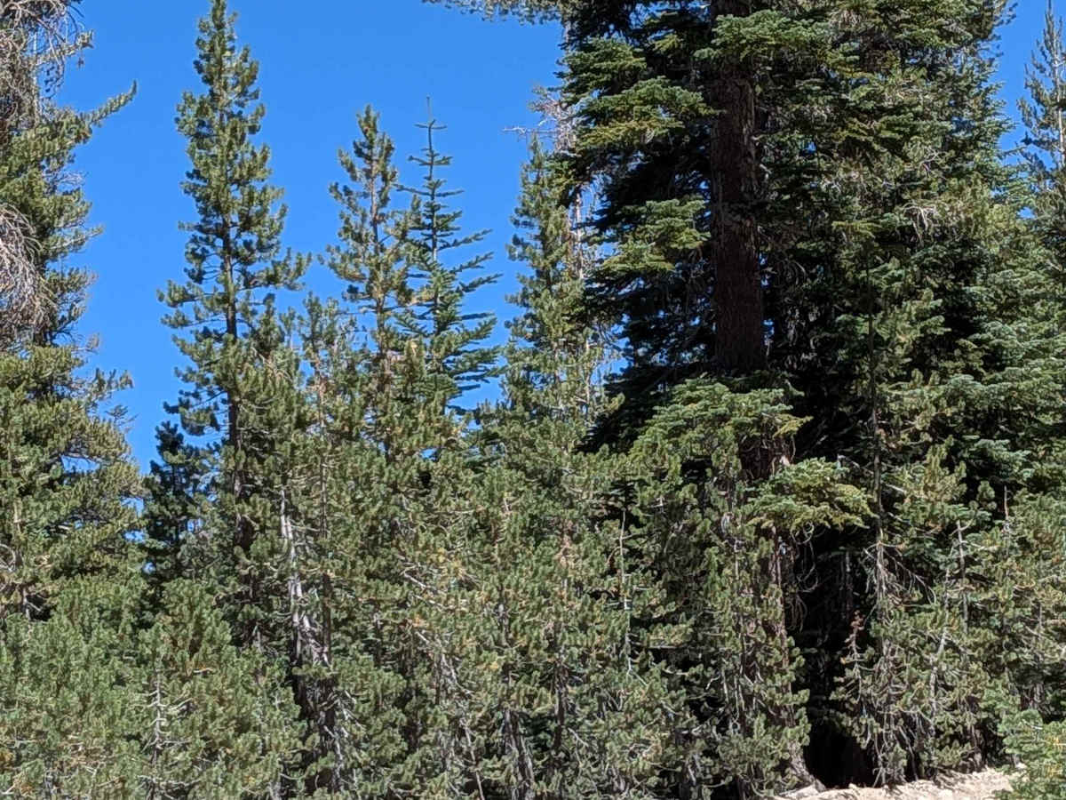
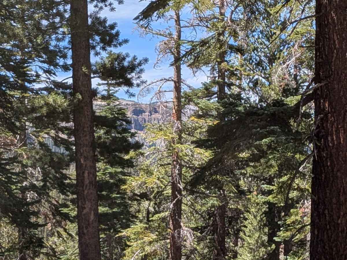
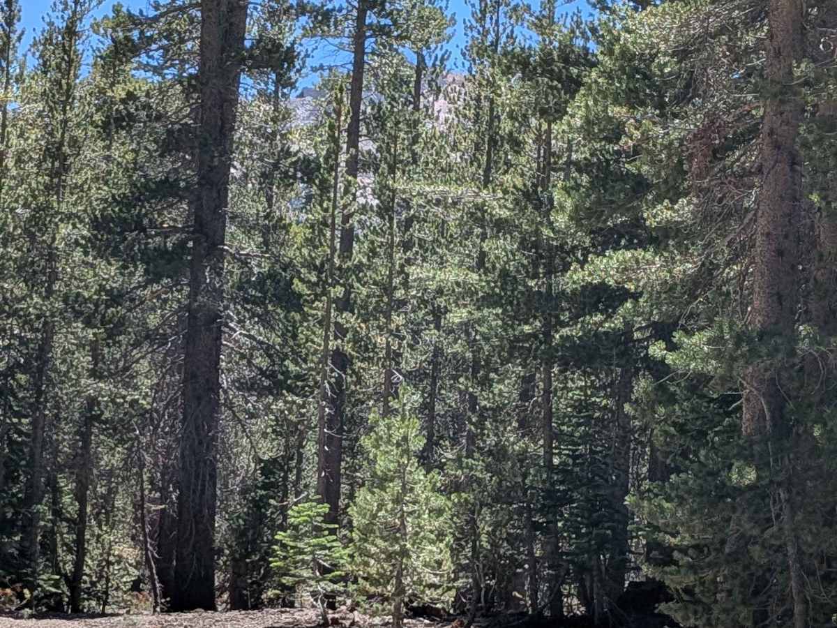
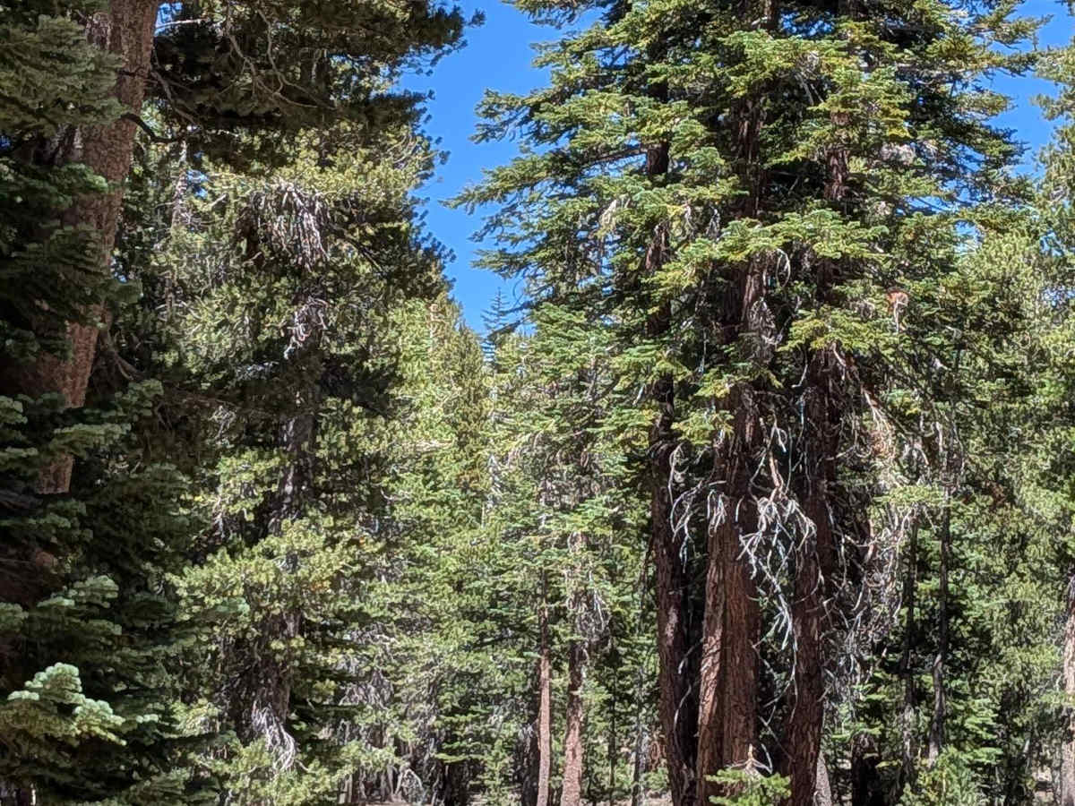
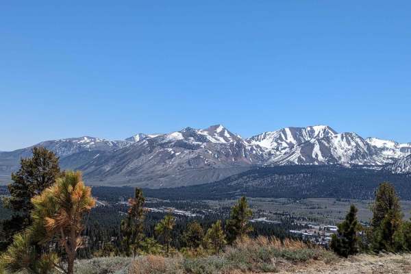
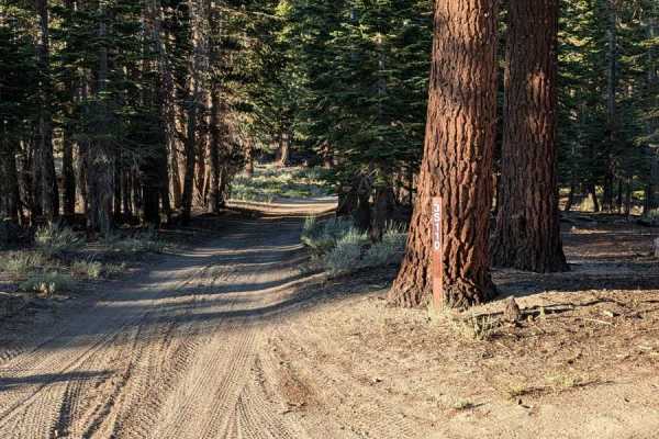
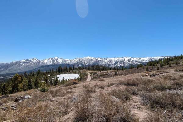
Trail Overview
This sand and pumice trail, marked by orange diamonds with and without the letter "C," winds through a beautiful pine forest with stunning peaks of the Eastern Sierra and occasional glimpses of Mammoth Mountain. The trail varies between about 1 and 1 1/2 vehicle widths wide and features sections of smooth driving interspersed with deep ruts. The area has also been recently thinned by the forest service, giving pleasant views. A short, steep road runs alongside a ravine, adding a touch of technical driving. The Mountain View bike trail crisscrosses this route, so be cautious of mountain bikers sharing the path. The trail climbs and drops as it meanders through the forest, eventually opening into a meadow where 4x4 capability becomes necessary. Use extra caution at the north entrance off Inyo Craters Road due to heavy traffic. Multiple spur trails along the way offer additional opportunities for exploration.
Difficulty
4x4 is highly recommended in the forest sections and required once entering the open meadow due to sandy and uneven terrain. Drivers should be prepared for deep ruts, dusty conditions, and a narrow shelf road by a ravine. The combination of natural beauty and technical spots makes this trail suitable for intermediate off-roaders comfortable with variable terrain and sharing the trail with mountain bikers.