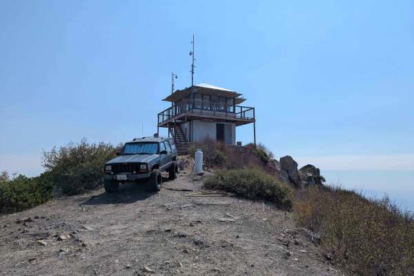
Trail Overview
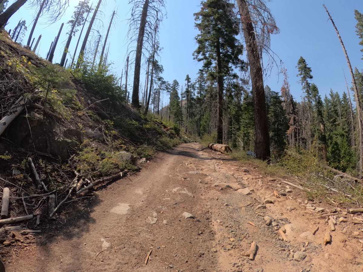
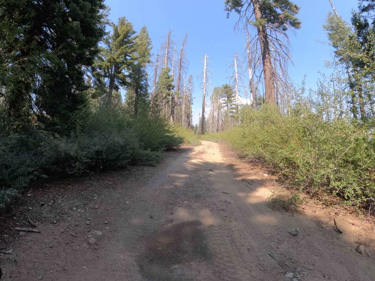
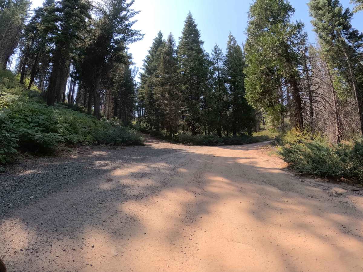
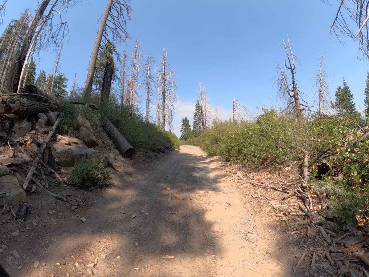
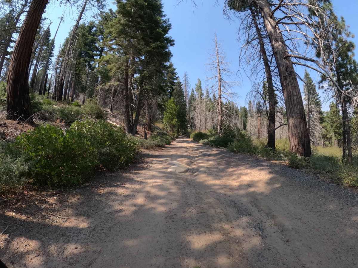
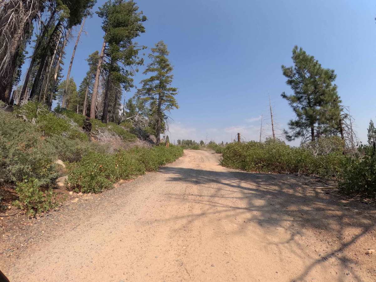
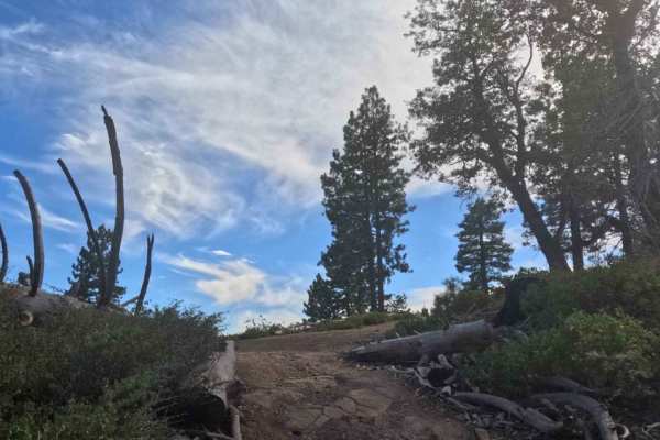
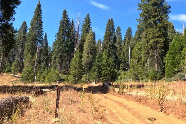
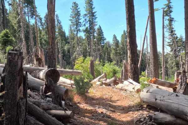
This 2.9-mile route is a tale of two trails, offering a relaxing cruise that eventually demands a bit more spatial awareness. For the majority of the drive, Dobler Meadow is a breezy, wide forest service road (Rated 2) defined by soft dirt, gravel, and only minor rutting. It winds through a scenic high-elevation landscape featuring a mix of healthy, towering pines and recovering burn areas from the 2018 Ferguson Wildfire. However, drivers should stay alert: once the route passes the intersection for the Signal Peak Lookout road, the character changes dramatically. The wide track quickly devolves into a tight, narrow path better suited for side-by-sides or narrow 4x4s. This route is a out-and-back trail for explorers looking to visit the historic lookout or set up camp in one of the massive dispersed areas nearby.
Difficulty
The base rating is a solid 2, as the primary surface is smooth, graded dirt and gravel that poses no traction issues for any stock high-clearance vehicle. The challenge is not technical terrain, but rather the sudden narrowing of the trail past the Signal Peak intersection. While the ground remains easy, the vegetation closes in, turning the wide boulevard into a tight two-track that demands careful vehicle placement to avoid brush contact. It is a low-stress drive with a tight finish.