Trail Overview
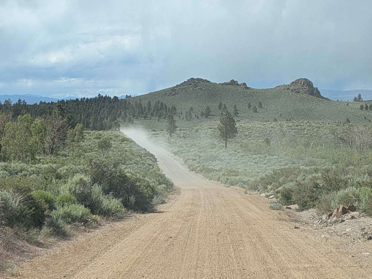
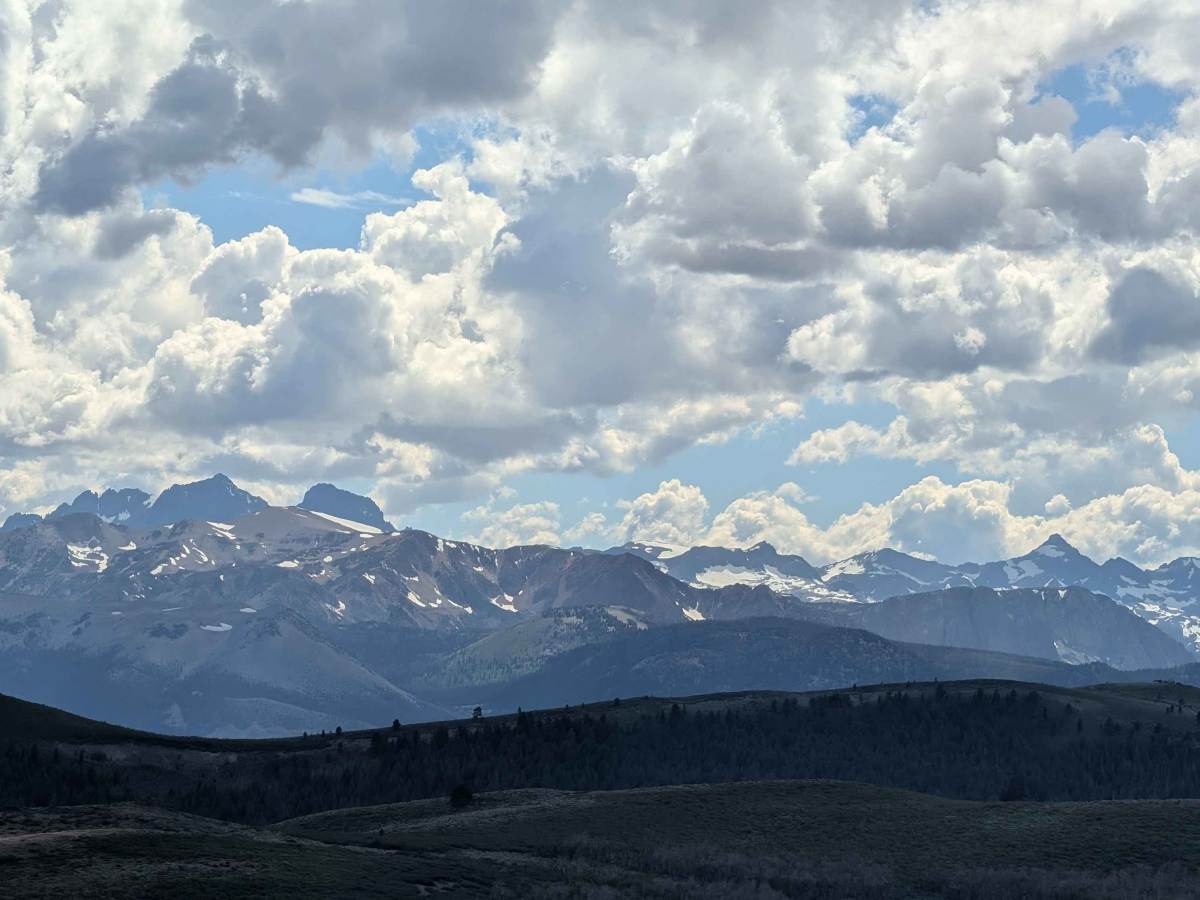
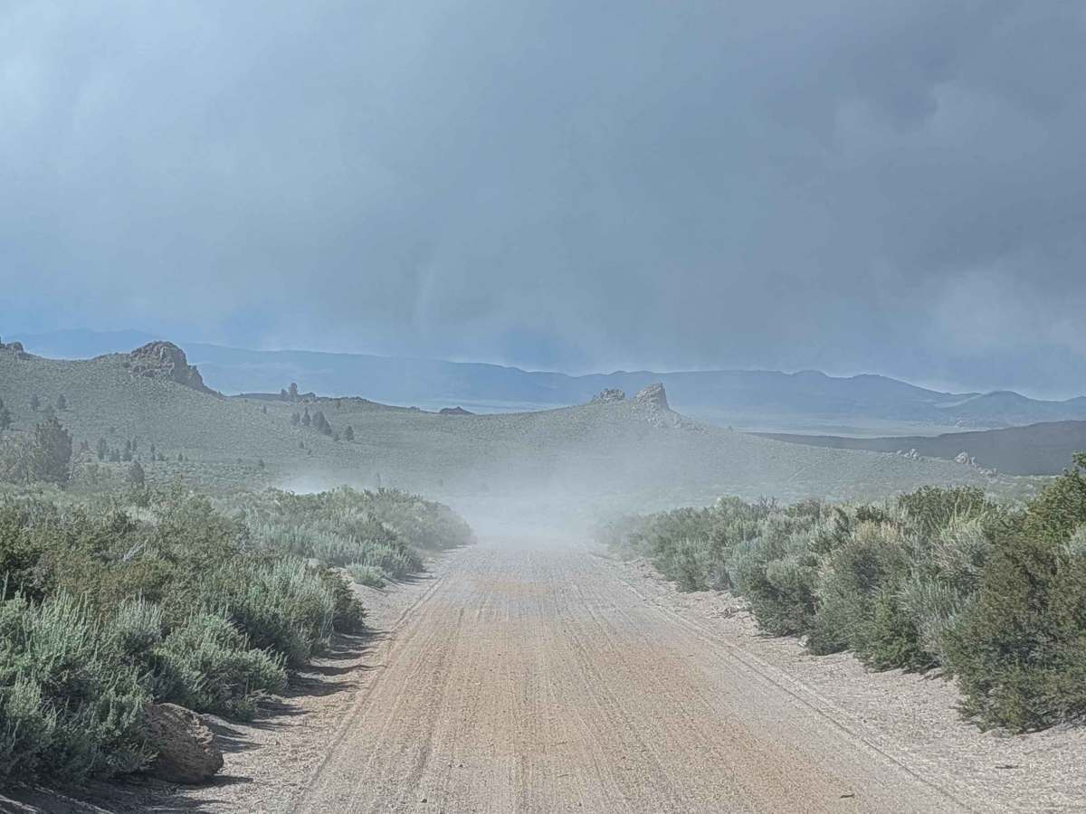
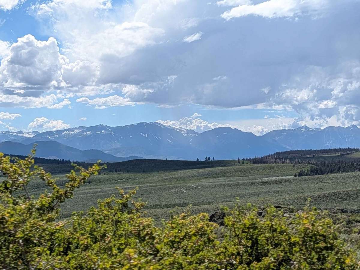
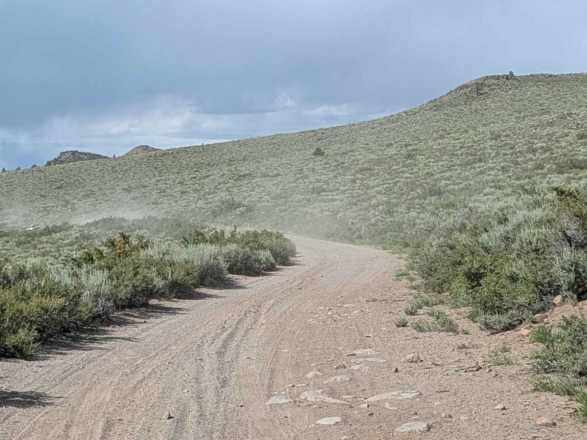
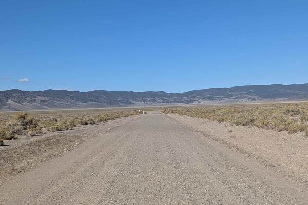
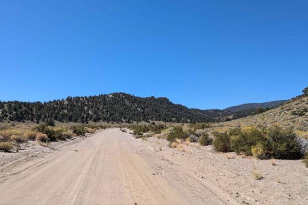
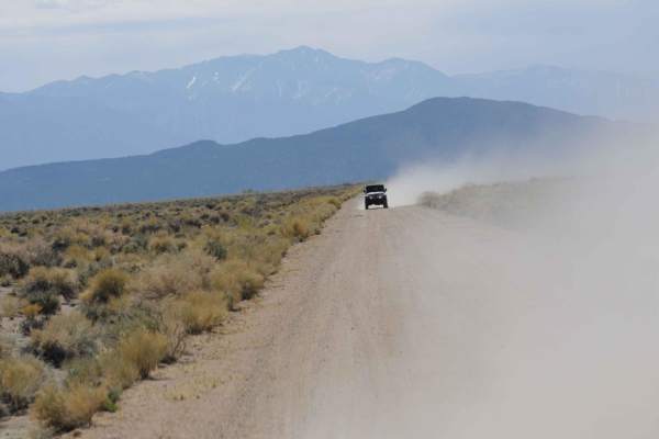
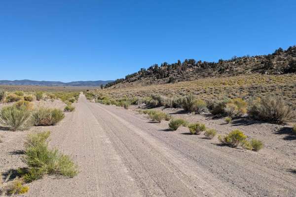
This 20-mile point-to-point trail starts on Highway 120 and ends on Highway 167, traveling across a mix of BLM land, Inyo National Forest, and a small section of private land. The route runs along the west border of the Excelsior Wilderness Study Area, providing access to this unique protected landscape. Staying on trail is important to keep out of private land and the Wilderness Study Area. The trail climbs over 700 feet and drops almost 500 feet over its full length, creating gradual elevation changes throughout the extended journey. The trail is partially graded and maintains a width of 1.5 to 2 vehicles, providing reasonably comfortable passing room along most of the route. Some washboards may appear along certain sections, requiring speed management for ride comfort. The proximity to the east side of Mono Lake provides scenic value throughout the drive, with views of the surrounding mountains throughout much of the journey.
Difficulty
This trail has an easy difficulty rating of 2 based on the partially graded surface, a generous 1.5 to 2 vehicle width, and moderate elevation changes over its 20-mile length. The primary consideration is managing washboard sections for ride comfort, with no significant technical obstacles noted along the route.