Adobe Valley to Little Huntoon Valley

Total Miles35.4
Technical Rating
5Moderate
Best TimeSummer, Fall
Trail TypeFull-Width Road
Accessible By
Open Trail Map

Trail Overview

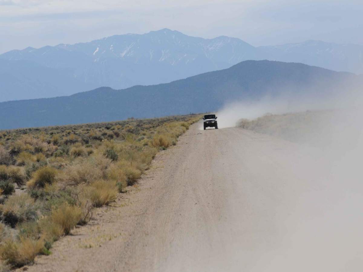
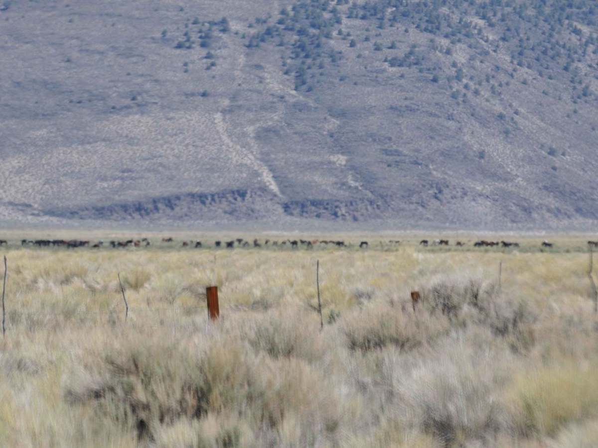
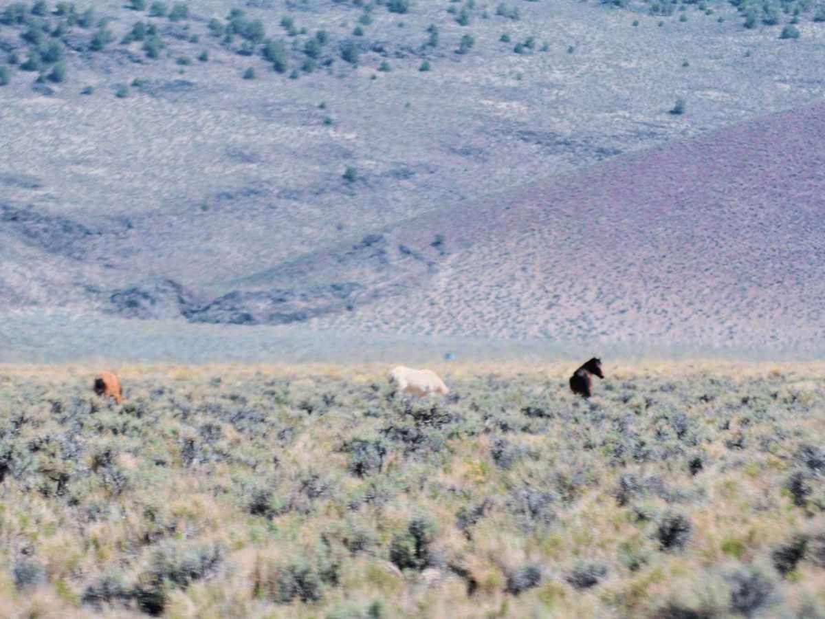
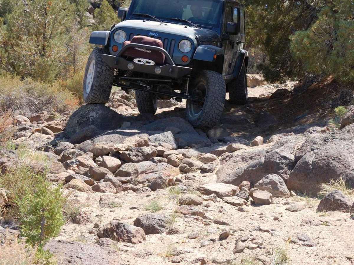
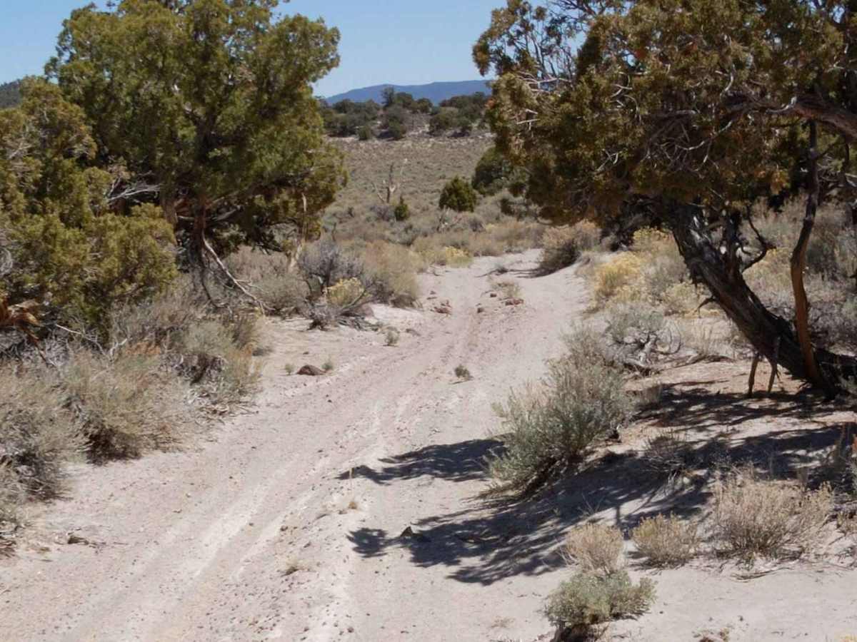
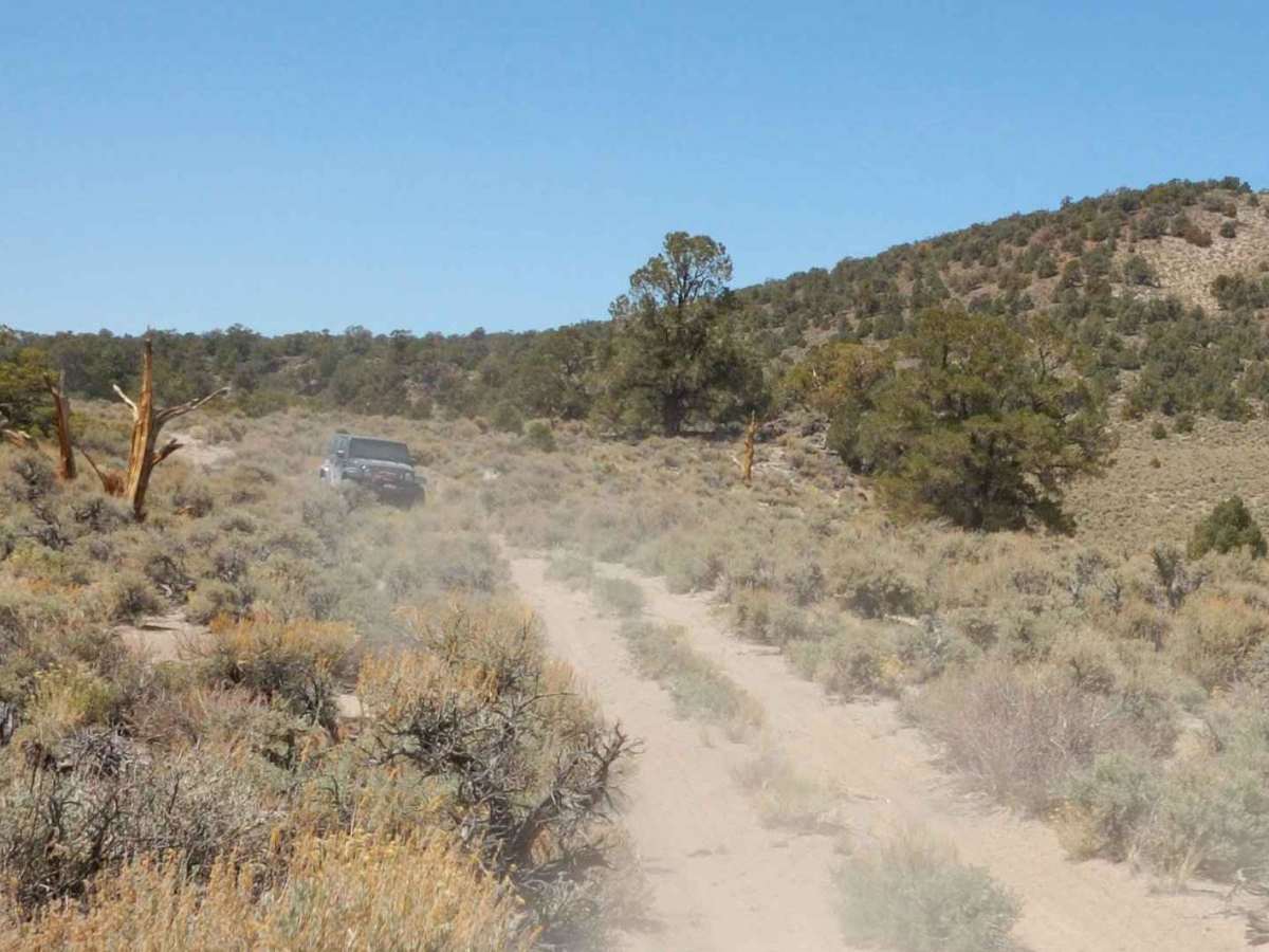
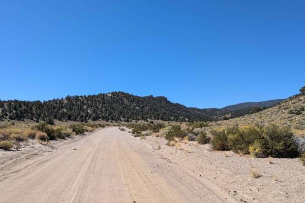
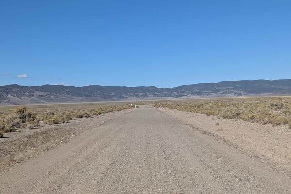
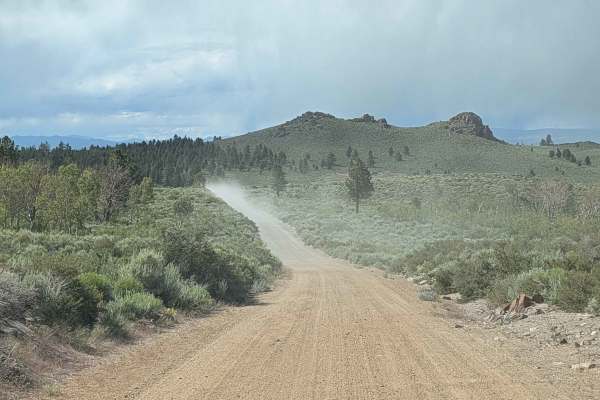
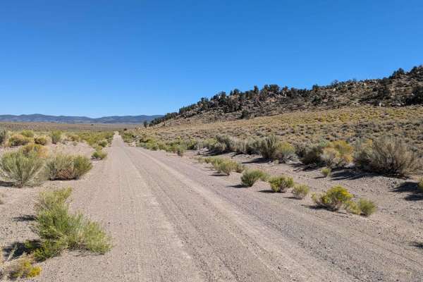
The route starts at Highway 120 and River Spring Road in the Adobe Valley, home to a thriving population of hundreds of wild mustangs. River Spring Road takes you to an Ecological Reserve, which includes a unique and natural spring system, surrounded by an arid environment. You climb out of the valley following powerlines until you reach forest route 03N11 turn North-East and cross the California Nevada Stateline. The trail goes through Juniper and Pinon Pines which can encroach on the trail, and brush scrapes are possible. Once you reach the point that you have a view overlooking Huntoon Valley you will have a short rock crawling section, but it is not difficult. Cross Huntoon Valley to Cow Camp to a public shared-use cabin once a cow camp, now part of the Humboldt-Toiyabe National Forest. Travel beyond the cabin to reach Little Huntoon Valley.

Photos of Adobe Valley to Little Huntoon Valley

Difficulty

Any 4WD drive vehicle should have no trouble, full-size vehicles can expect brush scraps. Always leave gates how you found them.

Technical Rating

5

Status Reports

Add Status Report
Patrick Ferrel
Dec 11, 2025
2023 Ford Bronco
Open
NormalRough/DeterioratedSnow/Ice
The "some moderate rock crawling" reported near the climb out of Huntoon Valley I would call hard. I would not attempt it again solo. I have a pretty capable rig and made it through fine but could easily have take a bad line and gotten well and truly stuck or damaged. Also the pinstriping for a full sized rig was a little more than that, the path has grown nearly closed in spots that I'm sure a side by side would have scraped though. The pinstriping was sometime thisck branches, not just brush. Had to get out once and cut a branch. Not big deal but just saying it is not a well used trail at all, at least not by full sized rigs.
Conor Kelly
Sep 06, 2025
2024 Ford F-Series
Open
Most of the trail was easy road, with intermittent rocky sections. Most rocks are less than 4” tall but many have somewhat sharp edges. A couple miles in the trail narrows and trees will be striping your sides. I was in a F250 tremor but following a Rubicon unlimited and we both got striped, me more than him. 12 miles in at 38.07366 -118.59247 there’s a downhill set of corners leading to a short shelf road. These are larger rocks and some boulders you have to deal with while trying to get around a tree, headed down, with loose rocks at the edge of the shelf. The Rubicon made it through without issue or spotter but had to spot me as my truck is high and has a longer wheelbase. No clearance issues underneath for either. We started trail around 10 am and finished around 2:30 pm when we started Cabin under a rock, which will have its own report.

Adobe Valley to Little Huntoon Valley Trail can be accessed by the following ride types:

  • Single Track
  • 50 Inch
  • 60 Inch
  • High Clearance
  • Full Width

Adobe Valley to Little Huntoon Valley Map

The onX Offroad Difference

onX Offroad combines trail photos, descriptions, difficulty ratings, width restrictions, seasonality, and more in a user-friendly interface. Available on all devices, with offline access and full compatibility with CarPlay and Android Auto. Discover what you're missing today!

Open Trail Map