Trail Overview
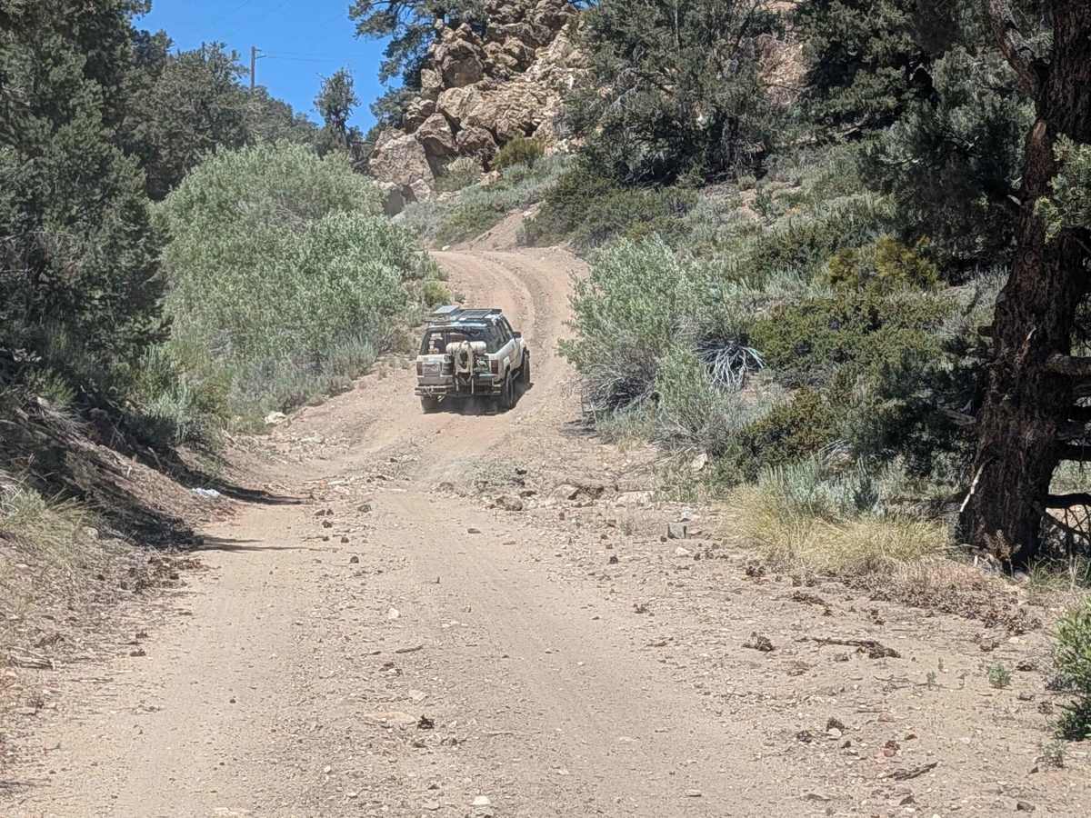
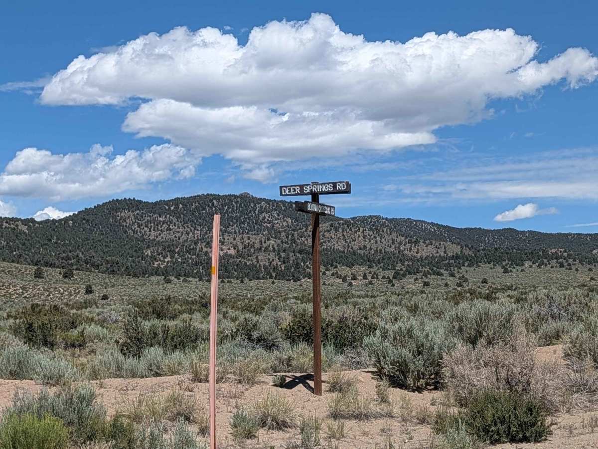
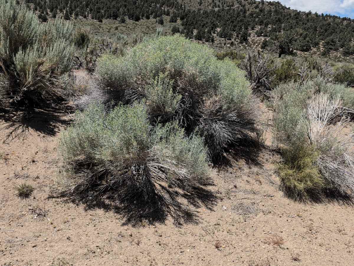
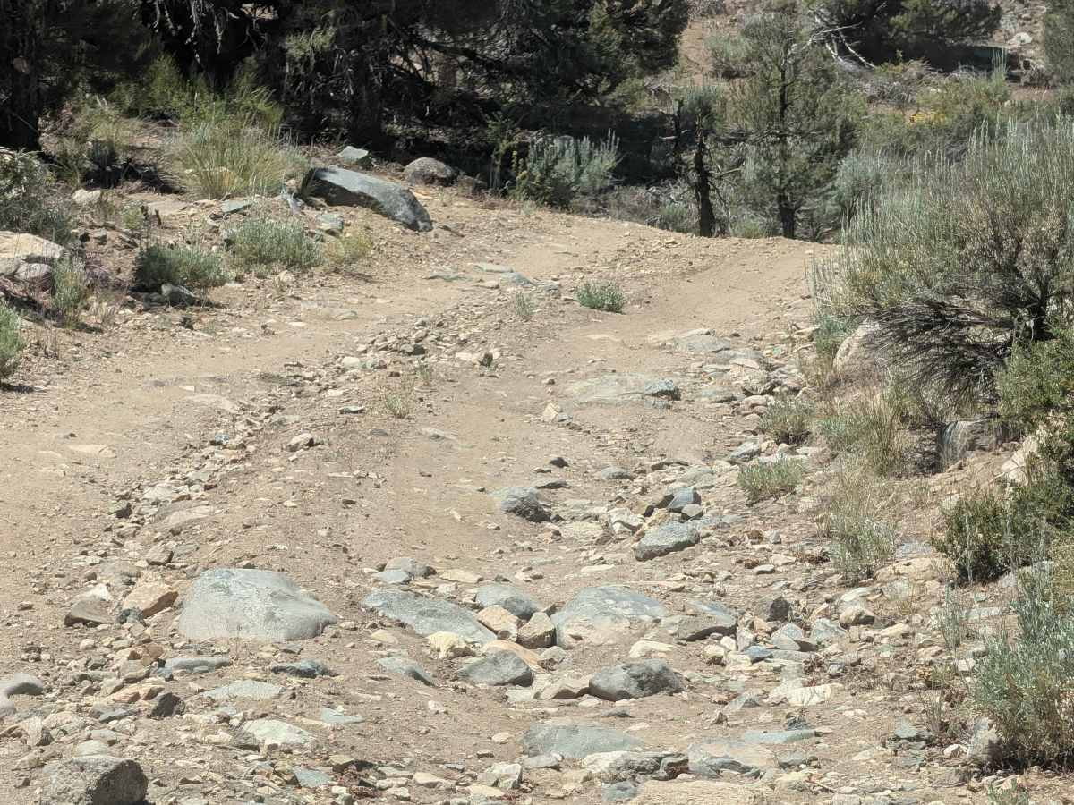
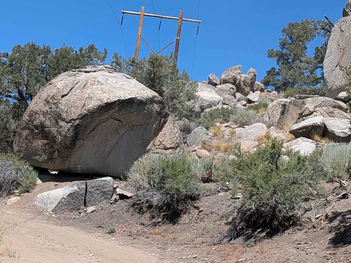
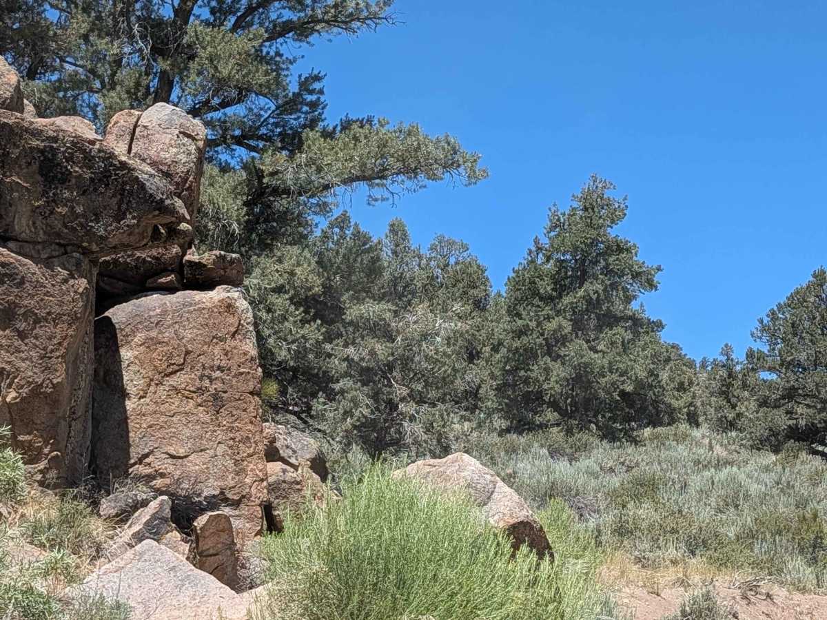
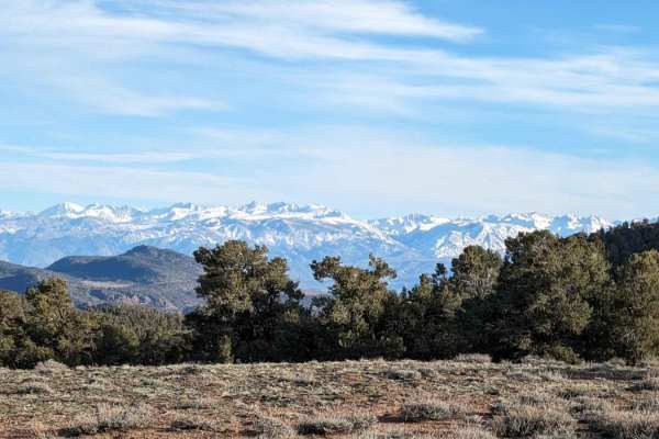
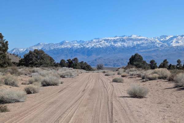
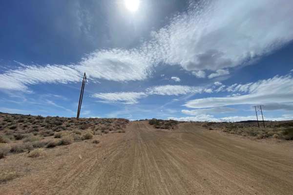
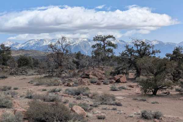
This 3.5-mile point-to-point trail starts on Benton Crossing Road and ends at the intersection of Glass Mountain Ridgeline Run and Watterson Troughs, climbing 1,000 feet over its length. The route travels through terrain surrounded by sagebrush and interesting rock formations, creating a scenic high desert environment throughout the journey. Power lines are a reference. The trail presents several technical elements, including rocks scattered along the route, off-camber sections requiring careful vehicle positioning, and ruts under 12 inches that demand attention to tire placement. These combined obstacles create a moderately technical drive as the trail climbs steadily toward its endpoint at the ridge line intersection.
Difficulty
This trail has a moderate difficulty rating of 3 based on the combination of rocks, off-camber sections, and ruts under 12 inches throughout the climb. The primary challenges include navigating around rocks while maintaining momentum on the 1,000-foot climb, managing off-camber sections safely, and handling the ruts without losing traction or control.