Trail Overview
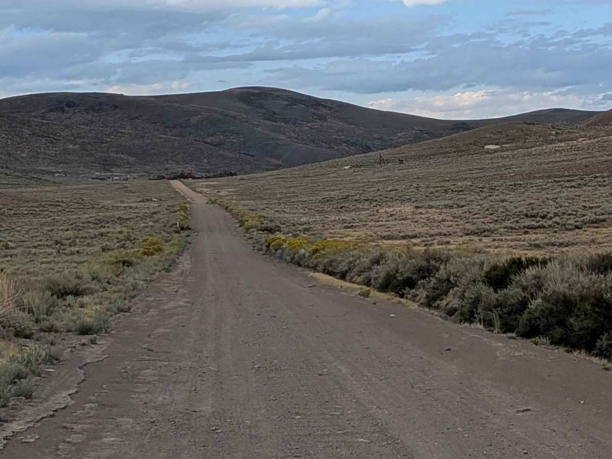
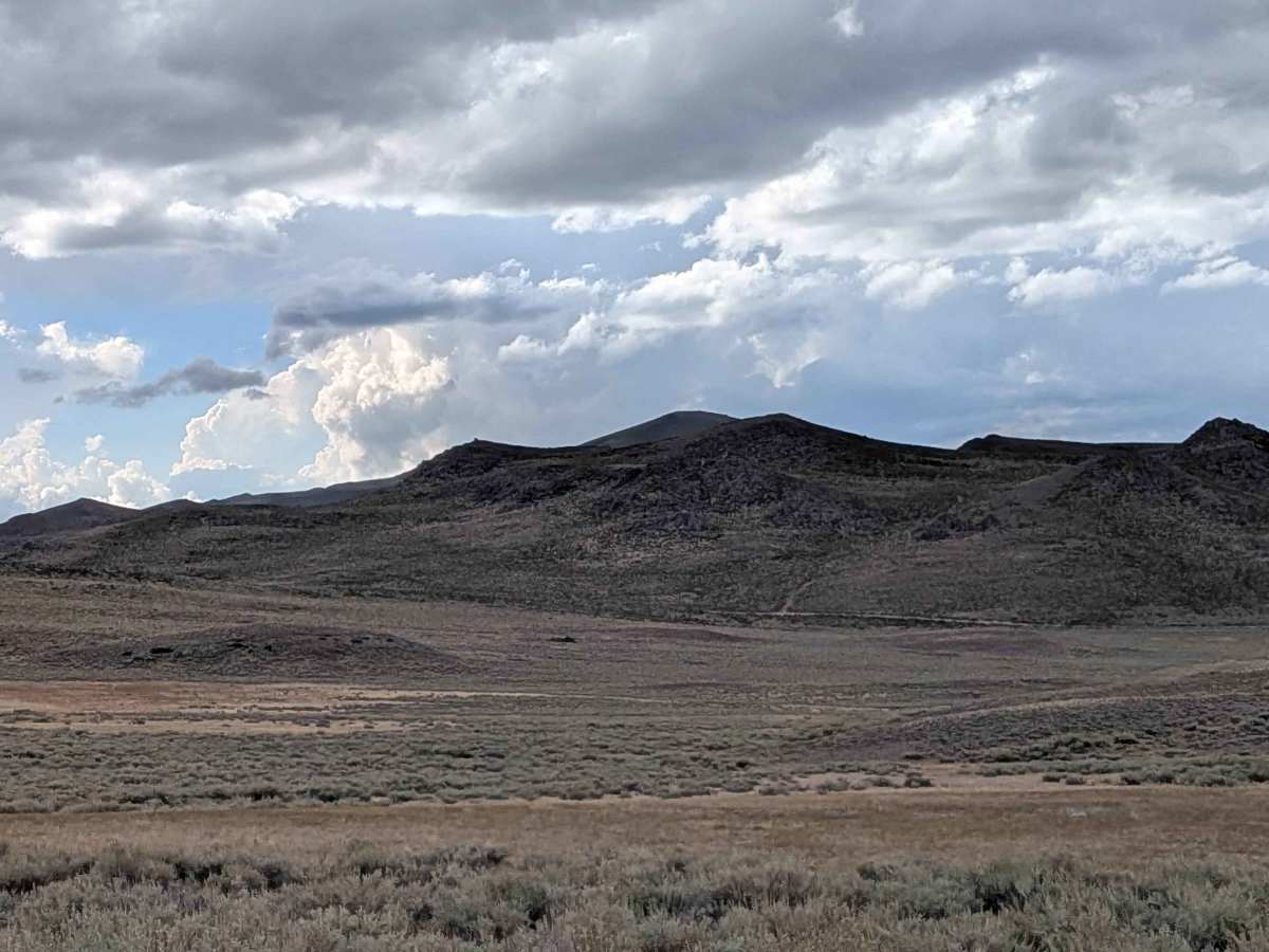
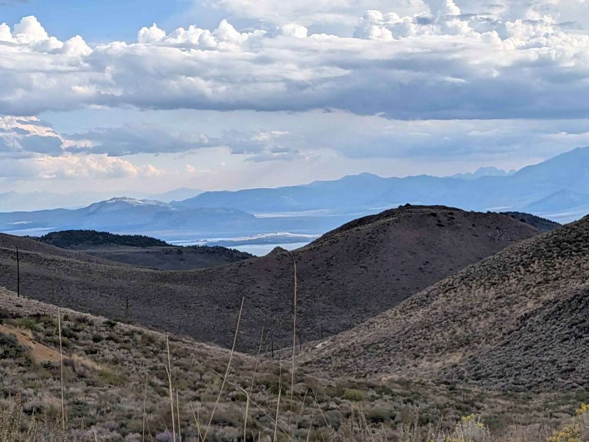
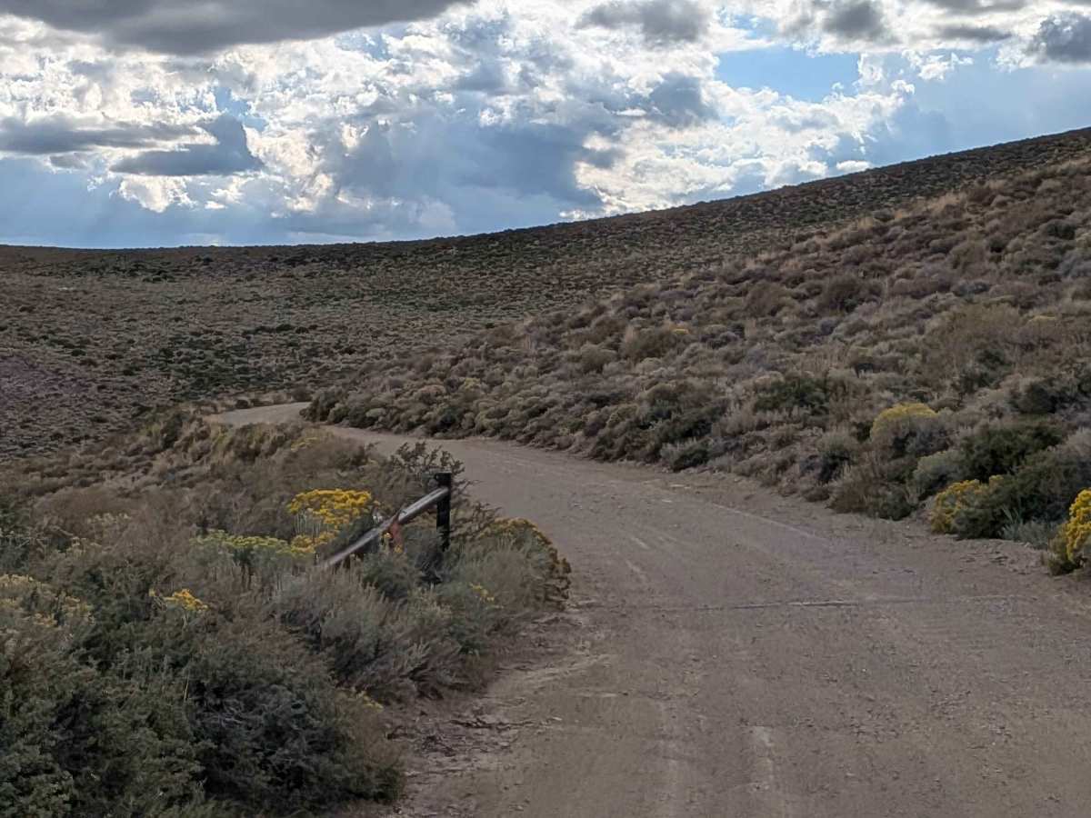
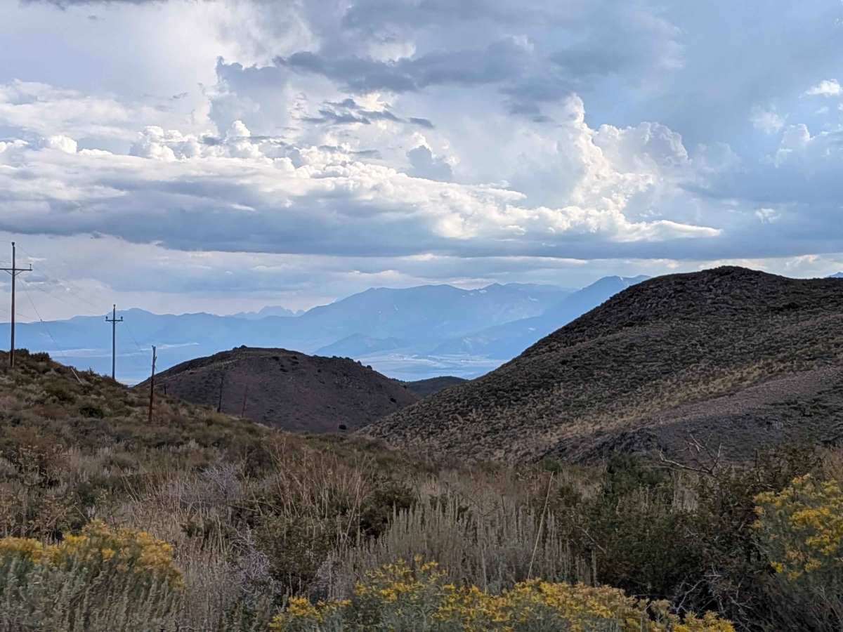
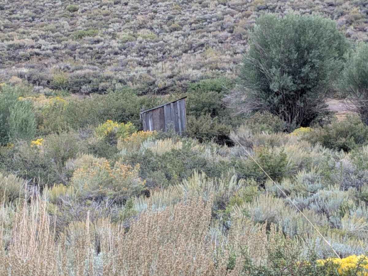
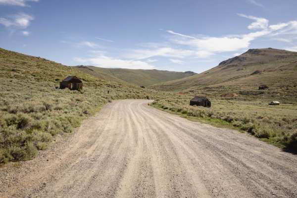
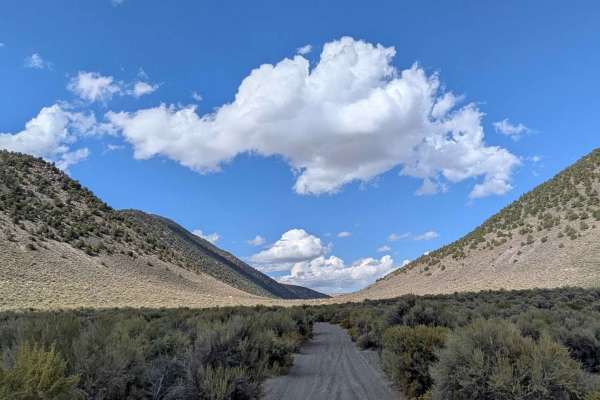
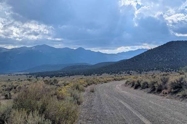
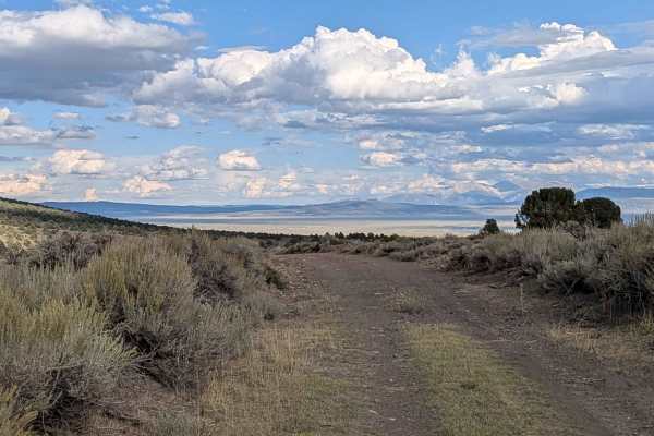
This route begins at the dirt section after 3.3 miles of paved road from Highway 167. The trail starts off high above Mono Lake with great views of the lake and the Eastern Sierras behind it. Within a mile, a canyon appears with tall walls filled with trees, bushes, and rocks. The trail runs along a shelf road where the creek meanders back and forth between each side, following new power lines that feed the ghost town of Bodie. At mile 5, you start seeing your first signs of old abandoned wood structures from the area's mining history. Lots of yellow wildflowers line the route, and at mile 6, the shelf road takes you down into another canyon with beautiful glimpses of the Eastern Sierras and Mono Lake. Only street-legal vehicles allowed.
Difficulty
This trail earns the easiest difficulty rating due to its gravel and graded surface, which starts three to four vehicles wide and narrows to two and a half vehicles wide as it progresses. Although relatively very smooth, there are a couple of spots where water runoff has damaged part of the side of the road. The trail gets a little rougher as you climb after Mono Lake, with lots of washboards in that section.
History
Cottonwood Canyon Road historically served as an alternate, rugged route to the historic mining town of Bodie in Mono County, eventually leading from the Mono Lake area to the ghost town. The road follows Cottonwood Creek, passing through scenic canyons, and marks where the paved section of the road to Bodie ends and the graded dirt begins. While the main, paved route to Bodie is Bodie Road (Highway 270), Cottonwood Canyon Road provides access to the Bodie Hills and the ghost town, offering a different perspective of the region's landscape and history.