Trail Overview
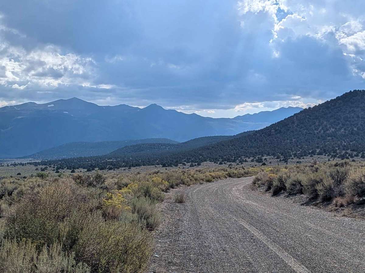
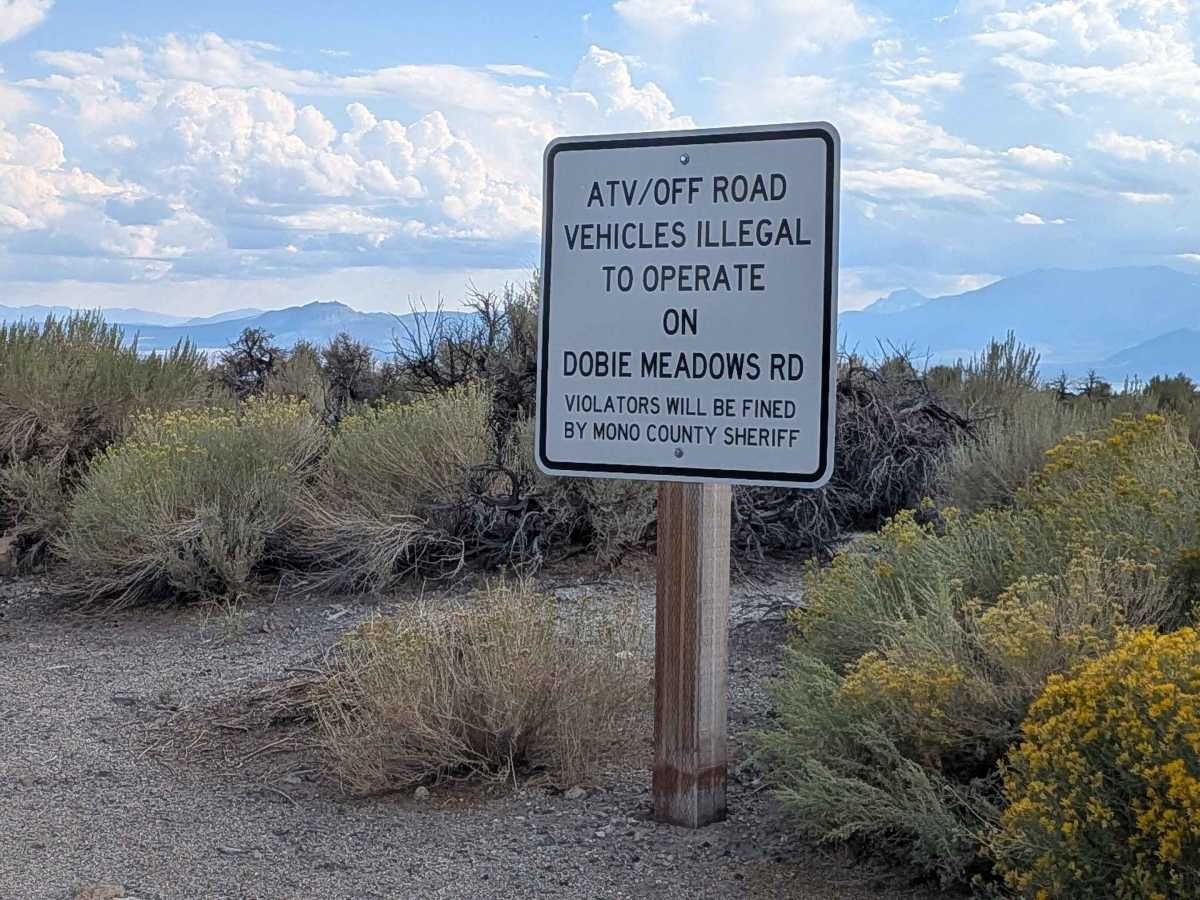
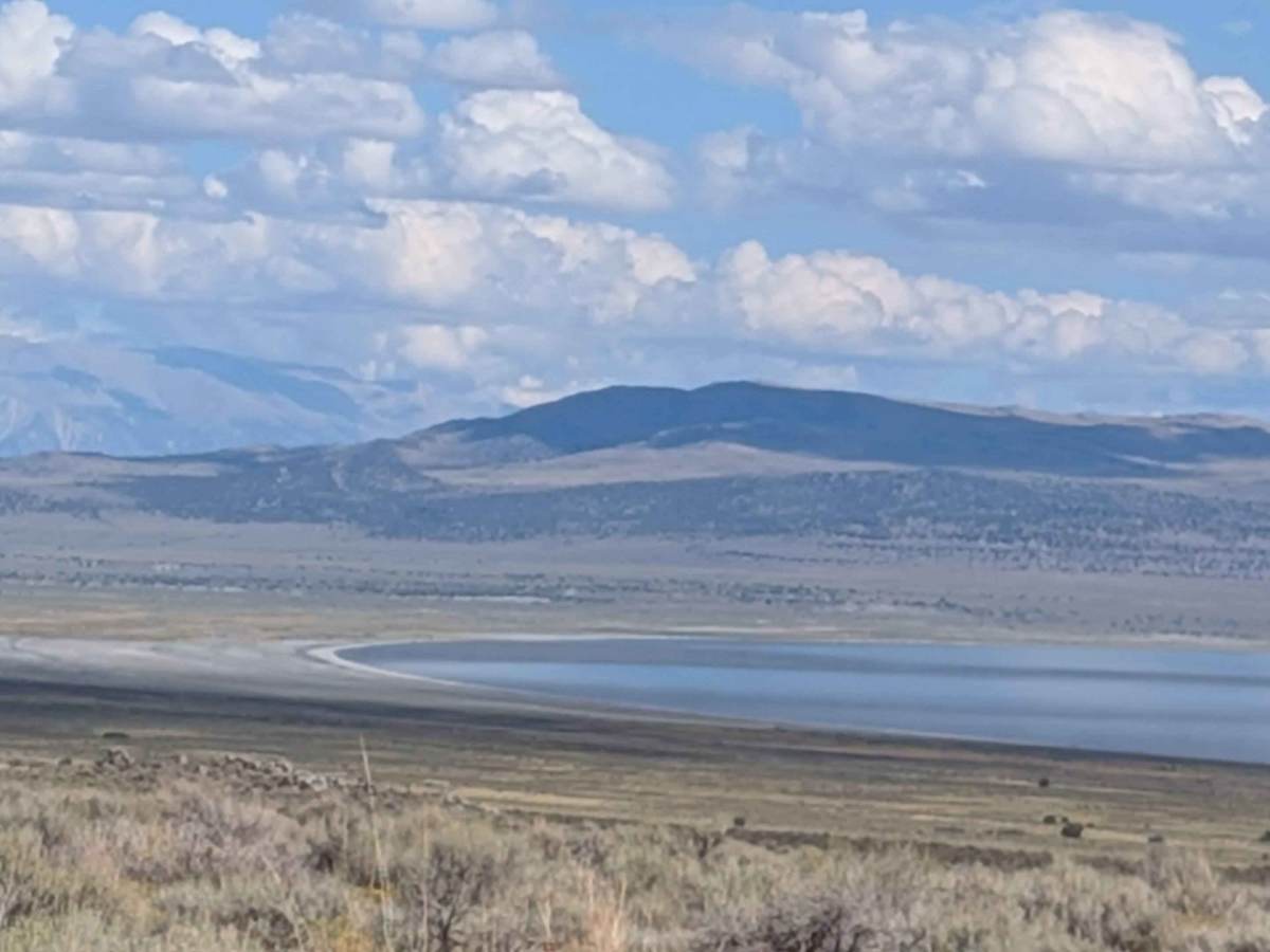
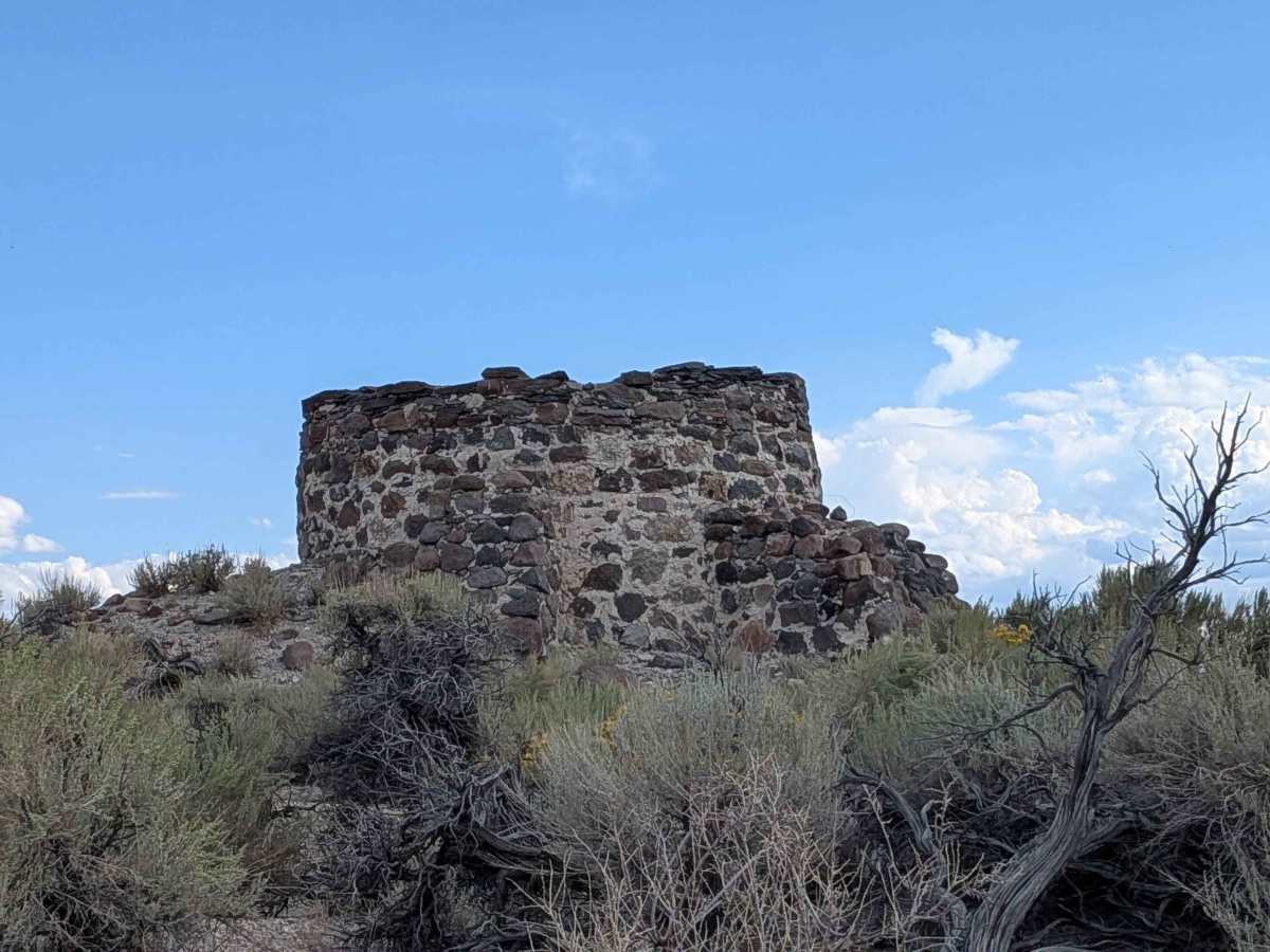
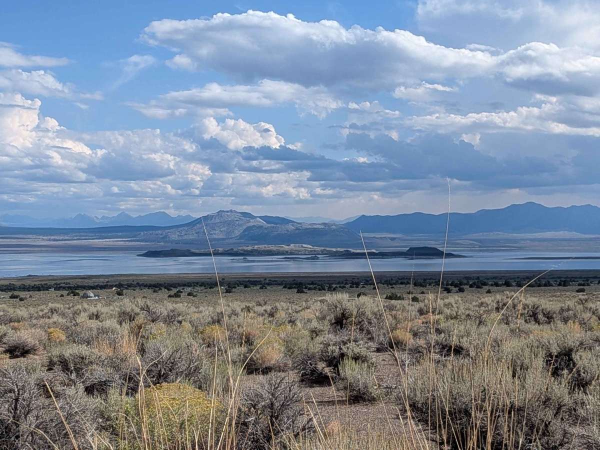
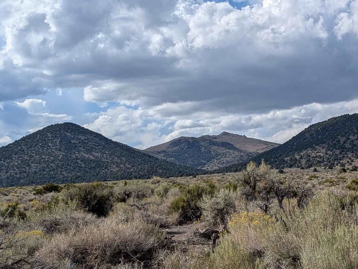
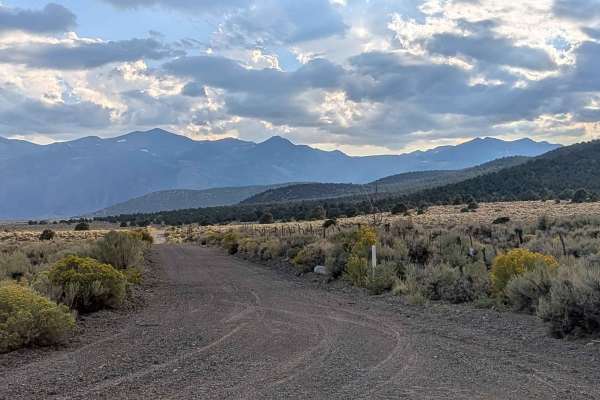
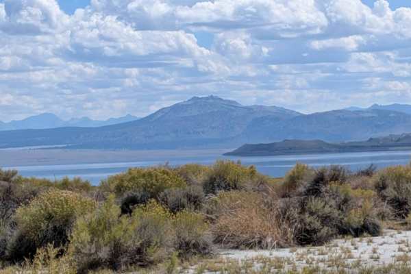
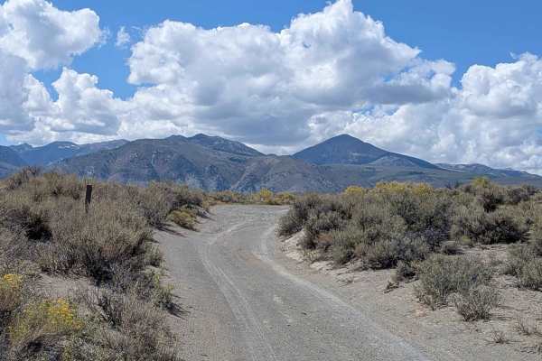
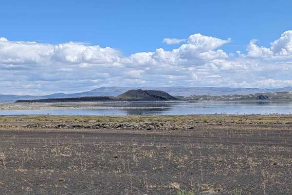
This gravel road is restricted to street-legal vehicles only, with no ATVs permitted. The route is 2.5 vehicles wide and lined with short brushes along with some taller bushes and trees, providing ample 360-degree views of the Eastern Sierras and Bodie Mountain region. The trail is posted as a rough road maintained by Mono County, and sometimes they do grade it for improved conditions. The gravel surface transitions to sand but remains relatively smooth throughout. When you make the turn and start heading southwest, you get good views of Mono Lake with the Eastern Sierra mountains behind it. There is a stone structure on the south side of the road, and the Bodie Mountain area becomes prominently visible. The southwest side of the road has been better maintained by the county through the addition of more gravel near the working ranches. Please respect the ranchers and keep your speed and dust down near the ranch areas. There is a Dobie Meadows Road South that continues southeast of Highway 167 for 20 miles.
History
Dobie Meadows Road was constructed using materials quarried from the Adobe Hills Spillway, a site of ancient Pleistocene Lake Russell overflow. This lake, an ancestor of modern Mono Lake, once sent its waters through the spillway toward the Owens River. The road itself offers access to views of the Sierra Nevada and Mono Lake, traveling along the edge of the Inyo National Forest and Granite Mountain Wilderness Area.