Trail Overview
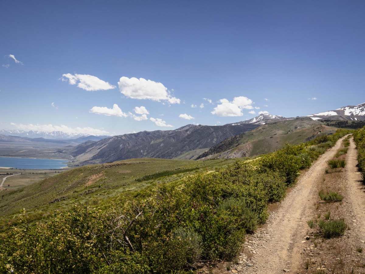
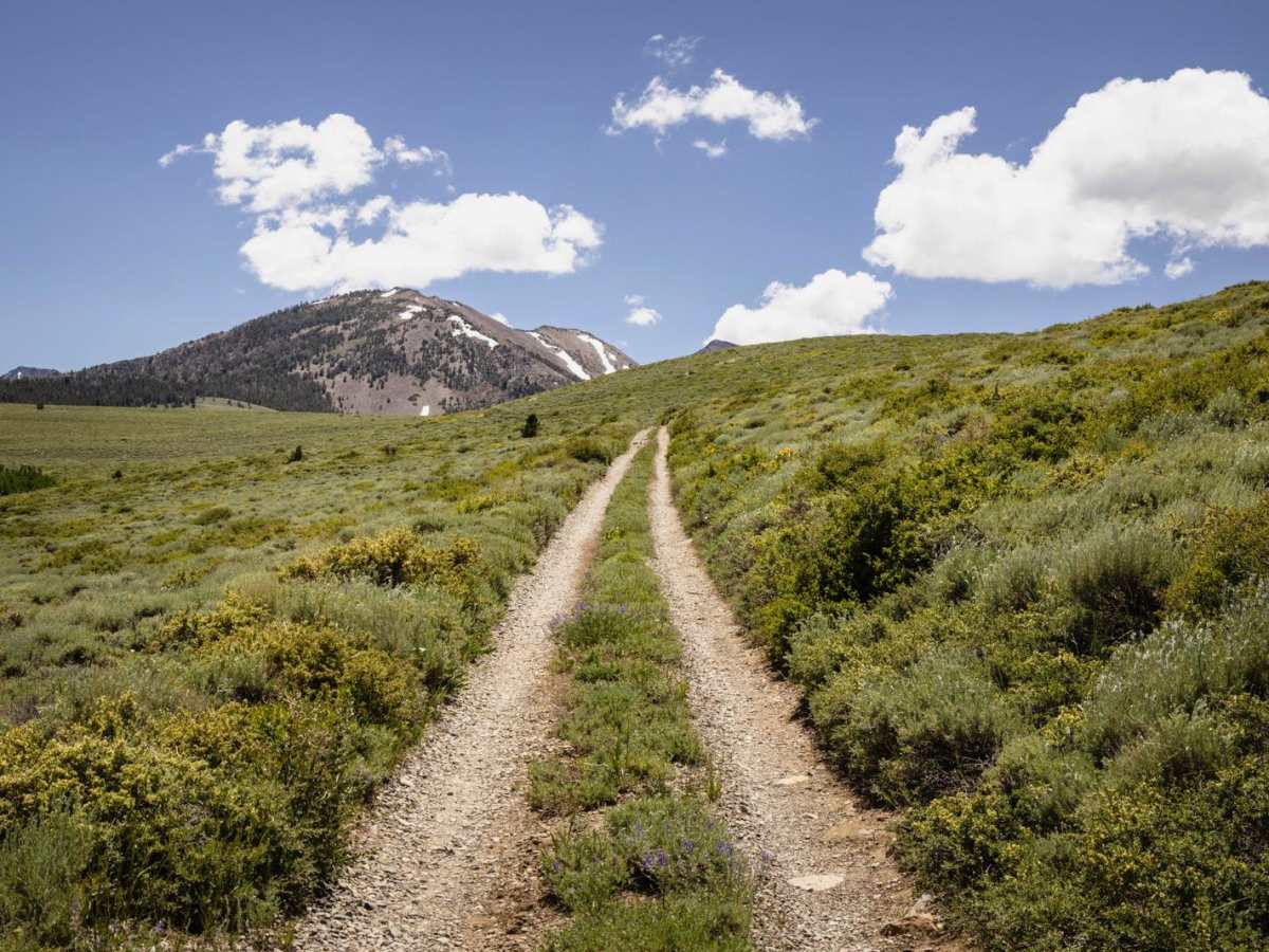
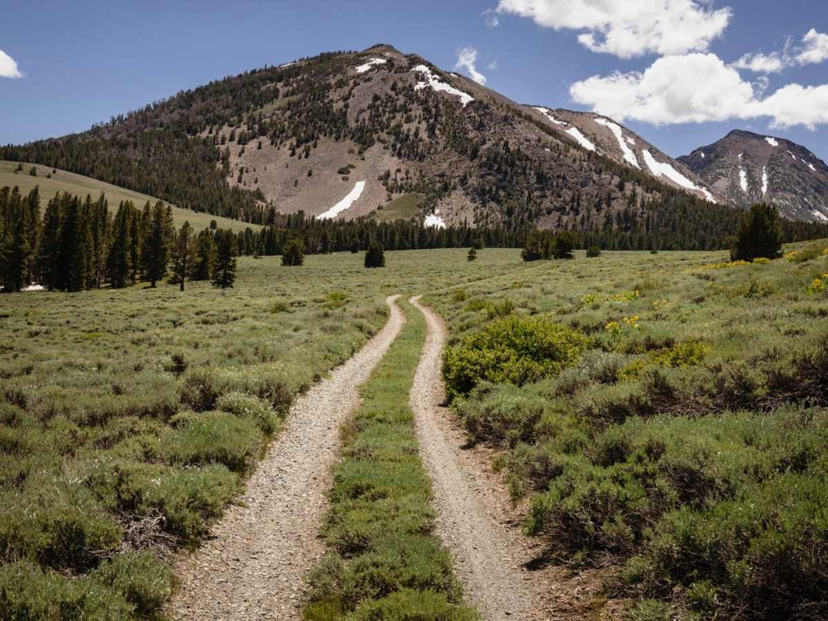
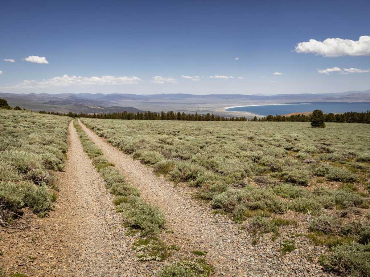
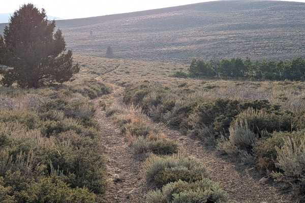
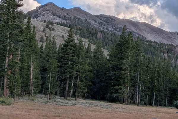
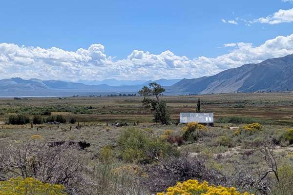
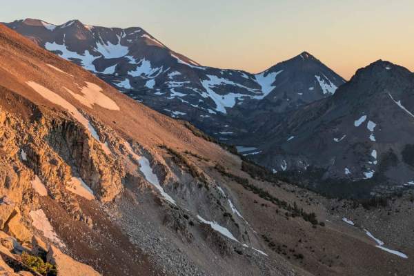
The Copper Mountain trail is an exceptional high-country route designed for scenic-minded offroaders looking for a peaceful escape with sweeping panoramic views of the Sierra Nevada. This roughly 8-mile journey begins off Virginia Lakes Road and ascends from 8,285 feet to a peak elevation of 9,816 feet, winding through dense pine forests and open alpine meadows. While the route is technically straightforward, the unmaintained two-track surface offers a pleasantly bumpy ride that keeps drivers engaged without requiring highly modified rigs. Throughout the climb, offroaders are treated to incredible vistas of the surrounding peaks, including Copper Mountain, Mount Olsen, and Dunderberg Peak, making it especially stunning during the early morning or golden hour.
With a cumulative elevation gain of nearly 1,900 feet, the trail features a technical rating of 3, characterized by rocky dirt terrain, a couple of steep, rutted climbs, and tight turns among the trees. High-clearance vehicles and stock four-wheel-drive rigs will navigate the route comfortably, though drivers should remain alert on the narrow shelf sections along the hillsides. The route accommodates standard width vehicles, SxSs, and dirt bikes, though wider rigs should exercise caution through the tightest wooded sections to avoid paint damage. Dispersed camping spots are plentifully tucked away in the shaded pine forest clearings along the route, offering perfect spots to extend the trip. Because cell service is highly limited in this remote high-altitude area, downloading offline maps beforehand is essential for a safe and enjoyable run.
Difficulty
This is an unmaintained two-track with a couple of steep, rutted sections. There is little cell service along this trail, so offline maps are recommended. The views along this trail are amazing, but try and keep your eyes on the trail, as sections of this road are shelf sections along hillsides.