Trail Overview
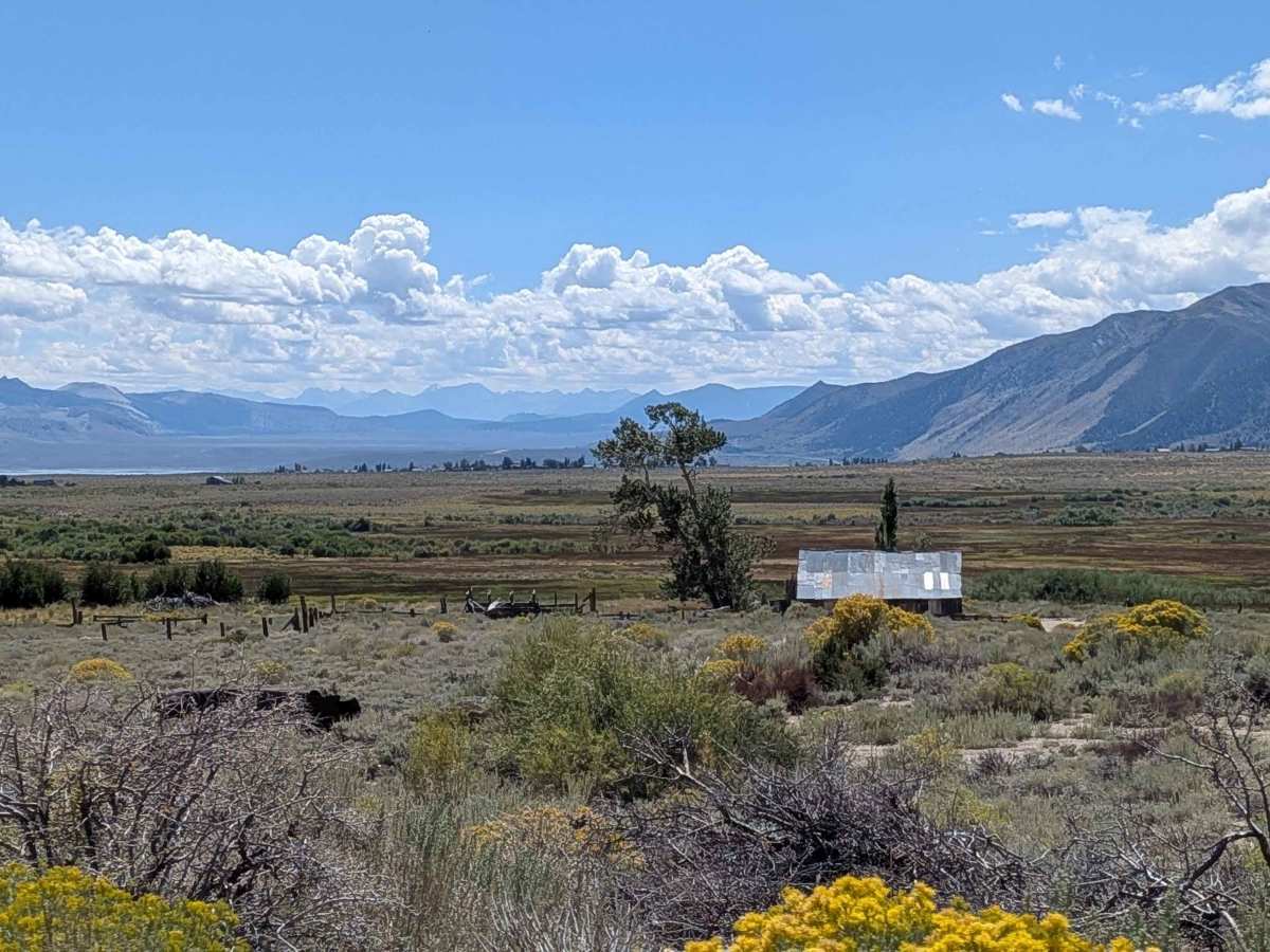
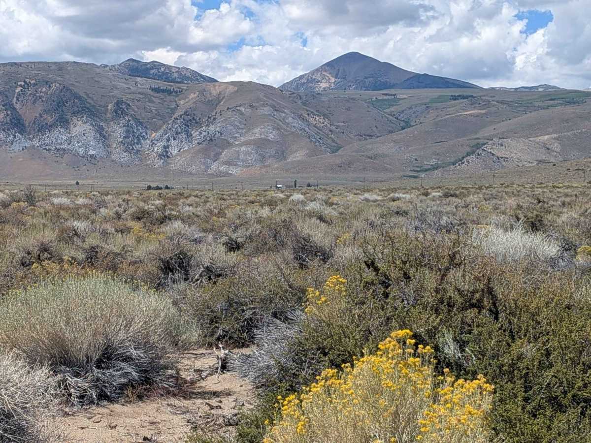
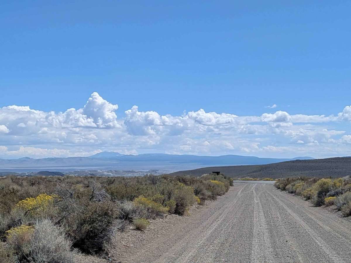
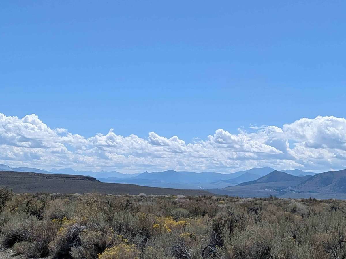
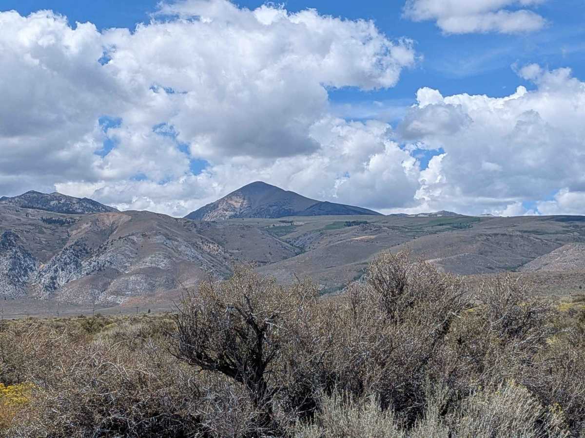
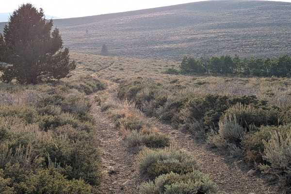
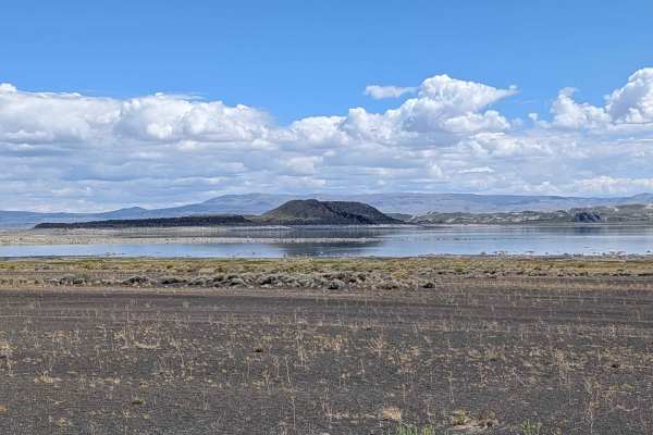
This seasonally graded gravel road offers sweeping views of Mono Lake and the Eastern Sierra, with unique boulder formations, old farmhouses, and the historic Conway Ranch along the route. In season, yellow wildflowers add vibrant color as the road descends 362 feet toward the lake. The road begins over two vehicles wide from Highway 395 but narrows to about one and a half vehicles wide near the lake and Highway 167.
Difficulty
This trail earns the easiest difficulty rating with its graded gravel road surface that is well-maintained seasonally. The road is two and a half vehicles wide but narrows to 1.5 vehicles wide in some sections, making it accessible to most vehicles.
History
Conway Ranch's history began in 1872 with settlers homesteading the land to provide food for the mining town of Bodie, utilizing water from nearby creeks for irrigation. John Conway purchased the ranch in 1903, and his family raised cattle there until the 1980s. After a failed development proposal in the 1990s, Mono County and the Bureau of Land Management acquired the land in 1999, placing a conservation easement on the property with the Eastern Sierra Land Trust in 2014 to permanently protect its historic, cultural, and natural resources.