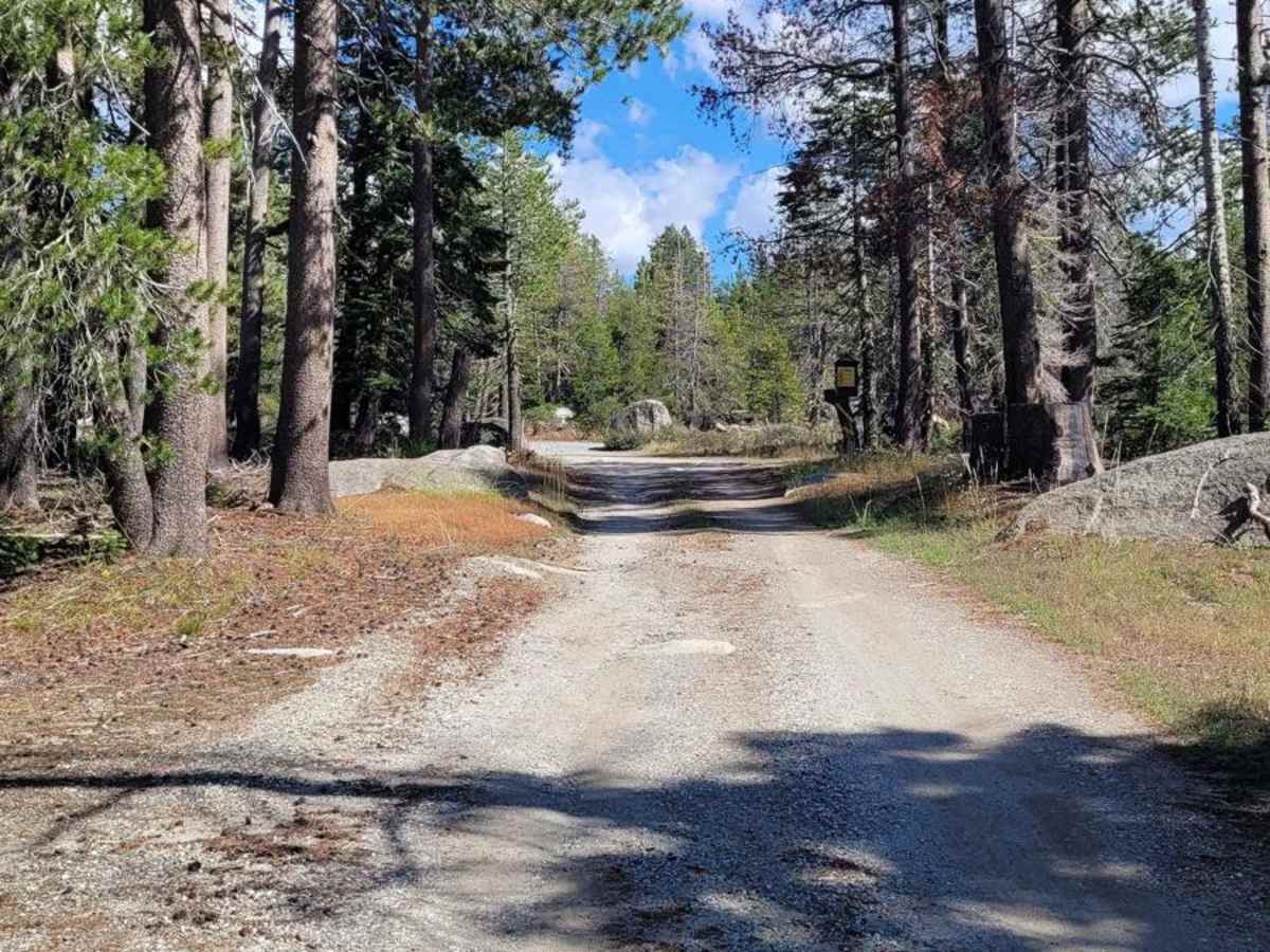
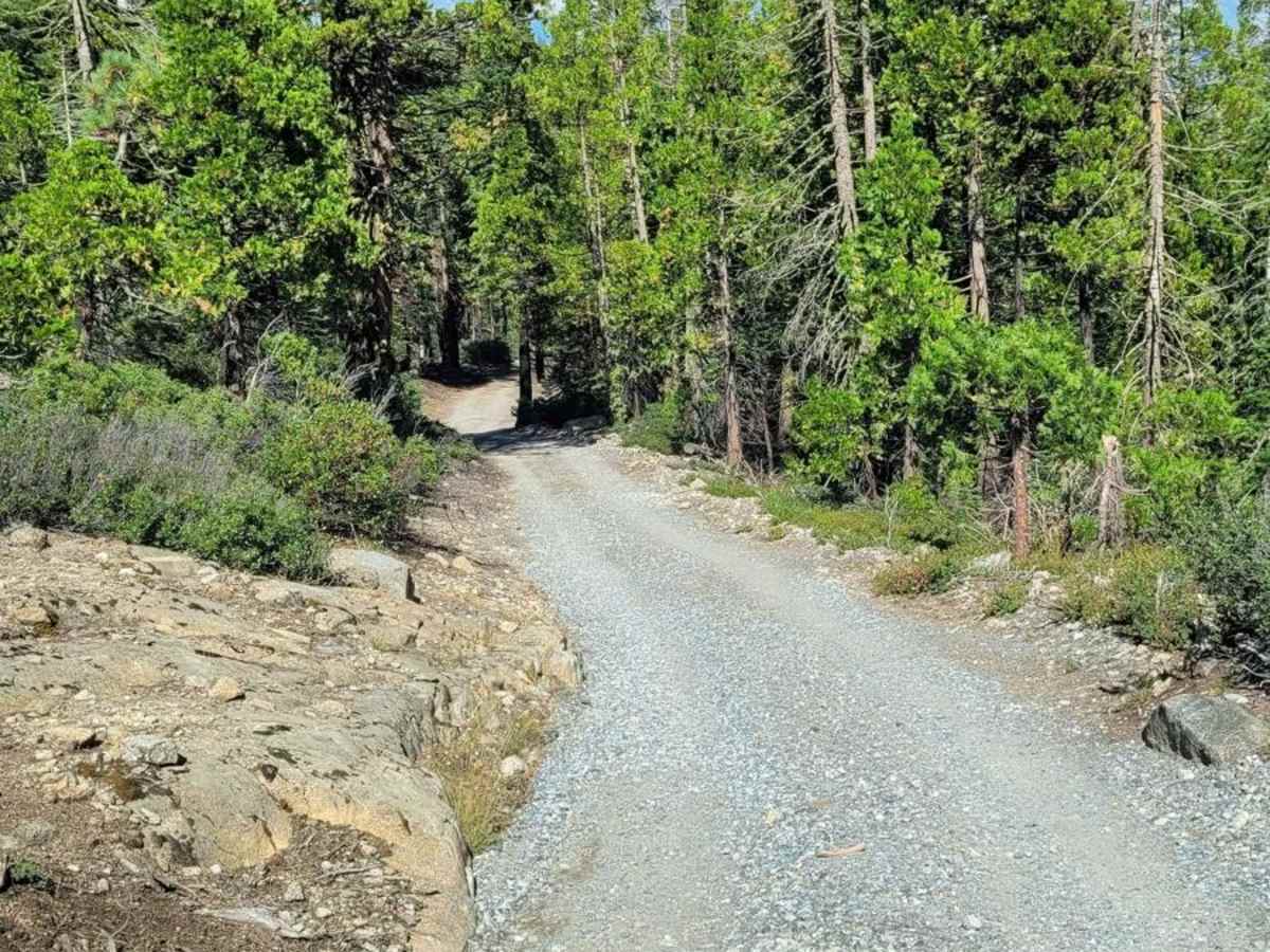
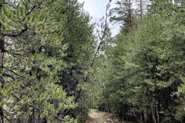
Trail Overview
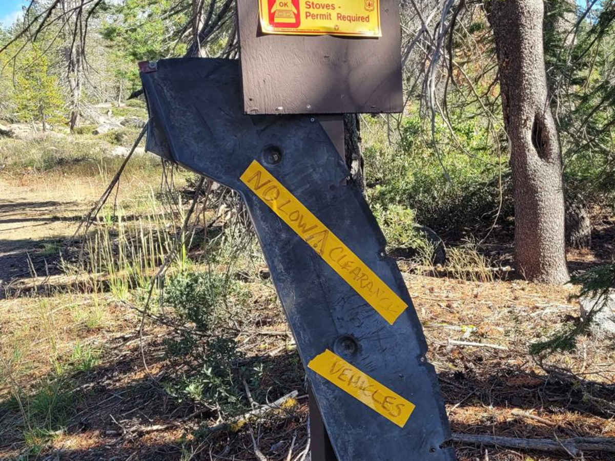
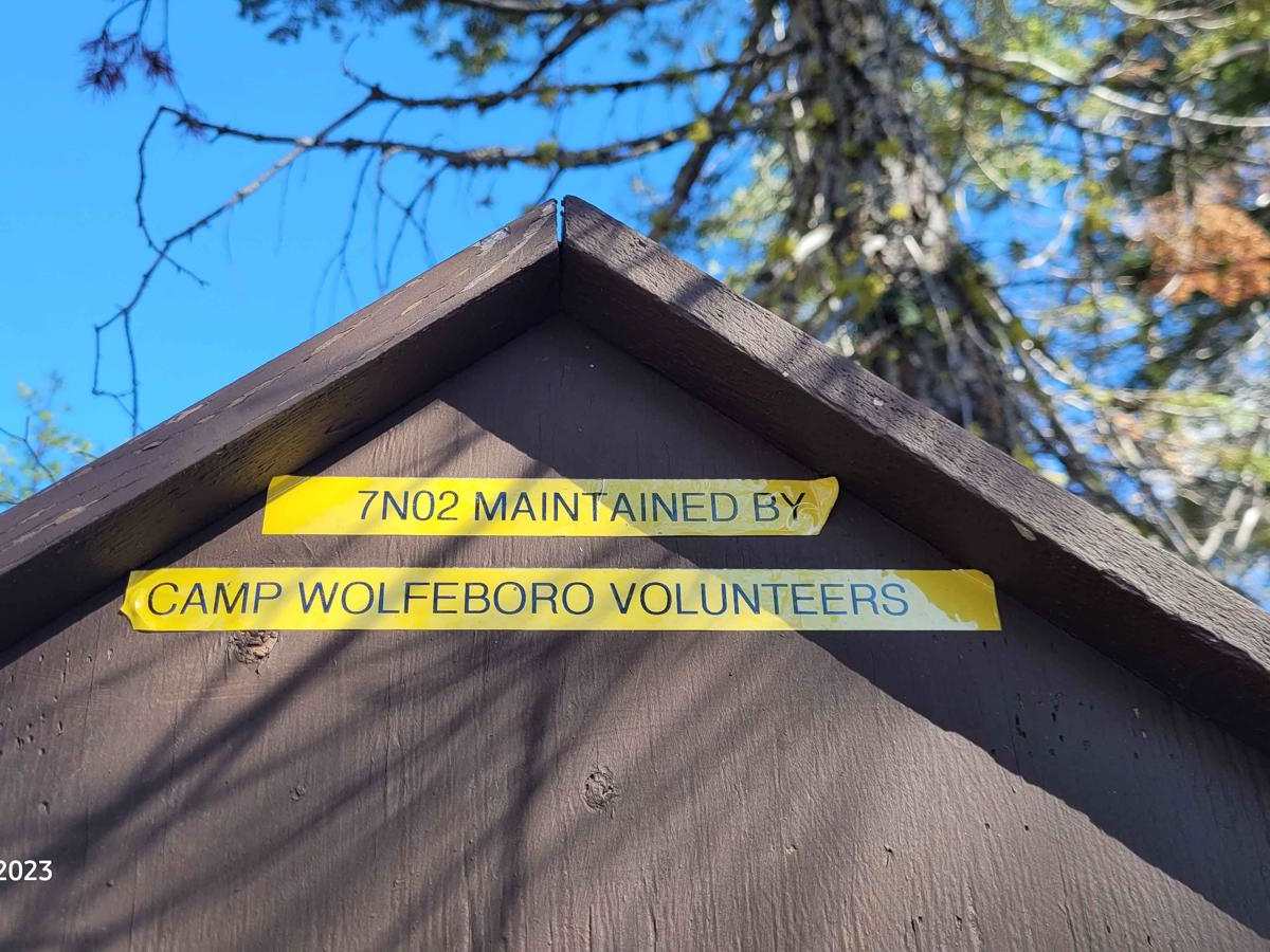
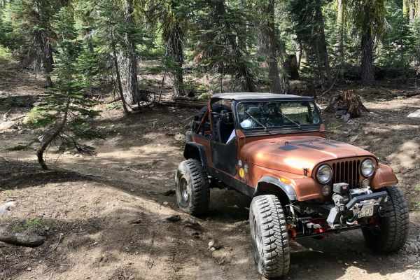
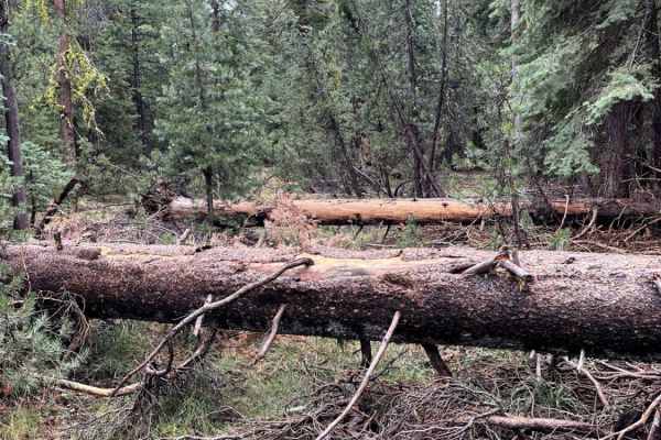
This is a roughly graded gravel road that is maintained by the Camp Wolfeboro volunteers. It will take you down to a very primitive campground, Sand Flat, along the North Fork of the Stanislaus River and the Camp Wolfeboro Boy Scouts Wilderness Camp. Enjoy a stay at the primitive campground, fish, swim, hike to nearby waterfalls, and take a look around the Boy Scout Camp (when not in session). Low-profile vehicles are not recommended-only vehicles with some clearance. 4WD may be needed after the rains or snowfall in early spring and fall.
Difficulty
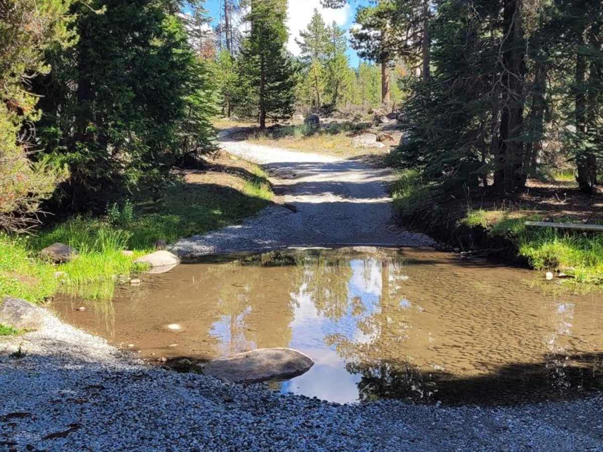
You may encounter two stream crossings no deeper than 1.5 feet during heavy rainfall or snow years. The road does have some high bumps to go over, so low-clearance vehicles are not recommended. There is even a car with yellow tape with "NO LOW CLEARANCE VEHICLES" written on it at the kiosk as you come onto the road. It is a semi-steep angle going down and coming back up you may need 4WD to make it easier on your vehicle so as to not spin out on the loose rocky gravel coming back out. The campgrounds have no water faucets and no trash or outhouse clean out, so follow "Pack In, Pack Out", Leave No Trace, and Tread Lightly ethics, please. There is no trough-vehicle road access at the Boy Scout Camp. There is a gate as it is private property, but they do encourage all to hike around when the camp is not in use.
History
Information on Camp Wolfeboro comes from here: https://wolfeboro.ggacbsa.org/about-us/. Also, see the new remodel of the camp from a historic snowfall of over 12 feet here on their Facebook page: https://www.facebook.com/CampWolfeboro/. Finally, the camp's very own webpage has more history: http://www.campwolfeboropioneers.com/. "The Camp is located in the Motherlode region of the Sierra's 22 miles east of the town of Arnold and 138 miles East of Pleasanton. The property has been leased from the Federal Government since 1928 (first by the Berkeley Council) and held its first summer camp that same year. Over the years, the camp has grown from just a few hundred Scouts the first year to well over 1,000 Scouts and Scouters each summer. Camp Wolfeboro operates multiple week-long sessions during the summer and each year we host thousands of Scouts from all over the United States. To educate our Scouts we have a highly trained staff of coed youth and young adults from places like Oregon, Utah, Hawaii, and Tennessee."