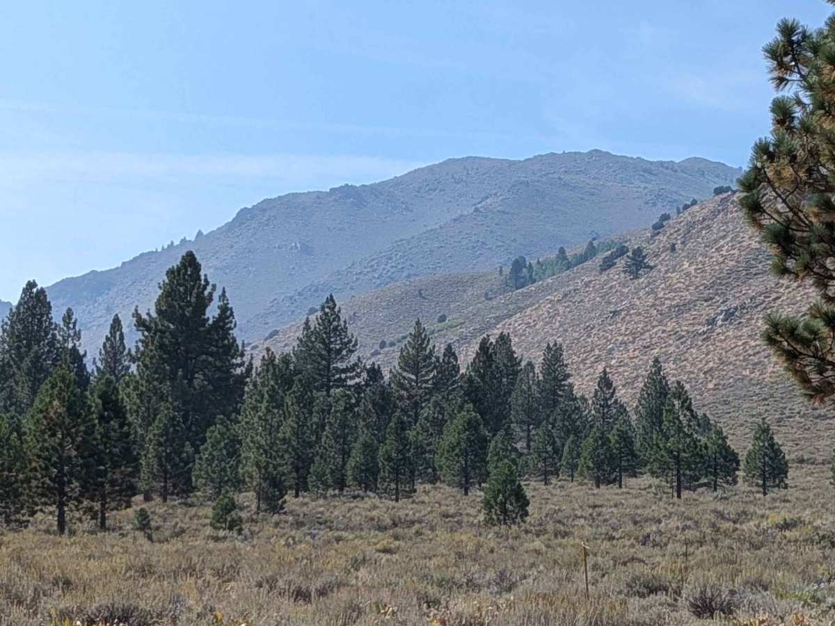
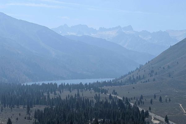
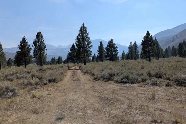
Trail Overview
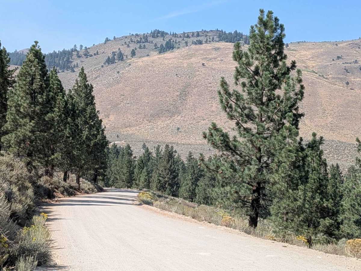
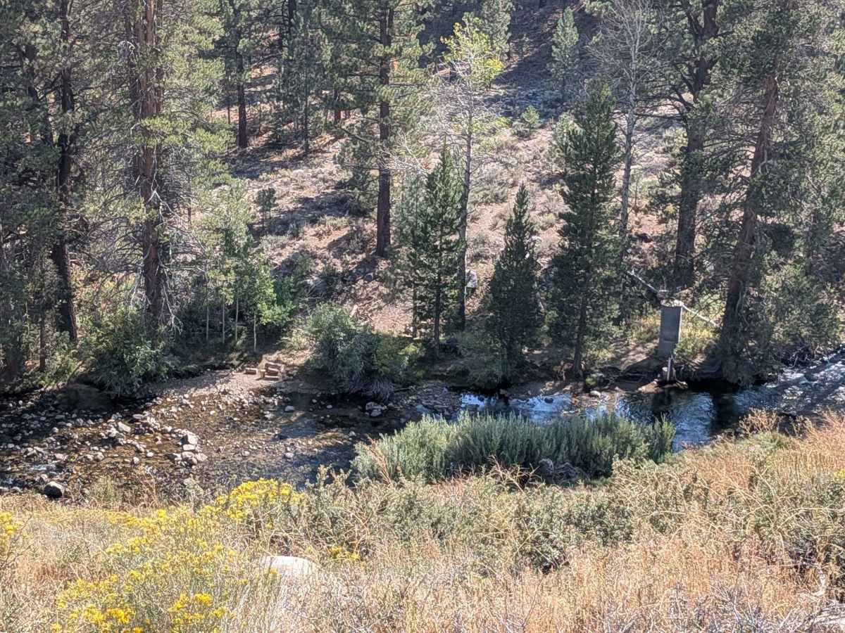
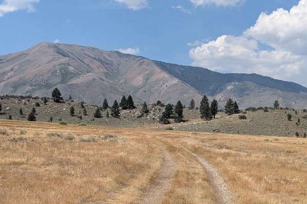
The trail starts as a paved road but quickly turns into a hard-packed dirt and gravel road that is about two and a half vehicles wide. It climbs high above the valley below, gaining over 350 feet and dropping about 175 feet in just over three miles. Along the way, you get great views of the town of Bridgeport and the Bridgeport Reservoir from high above. Cell service is generally available throughout this section. The trail can be very dusty and is lined with large pine trees. Much of the route follows a shelf road, so use caution while driving. Seasonal fire restrictions may be in effect depending on the time of year. This trail is the easier way to get to the Buckeye Hot Springs.
History
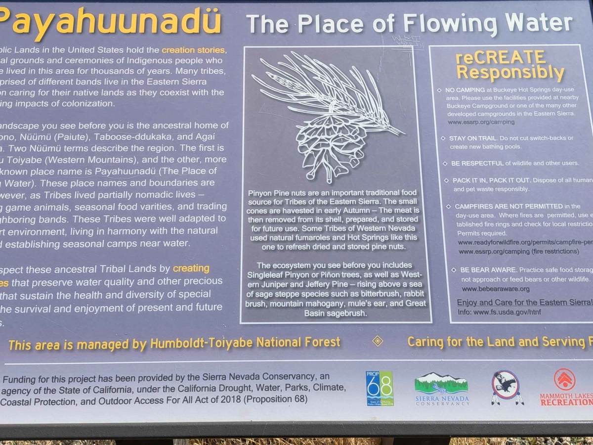
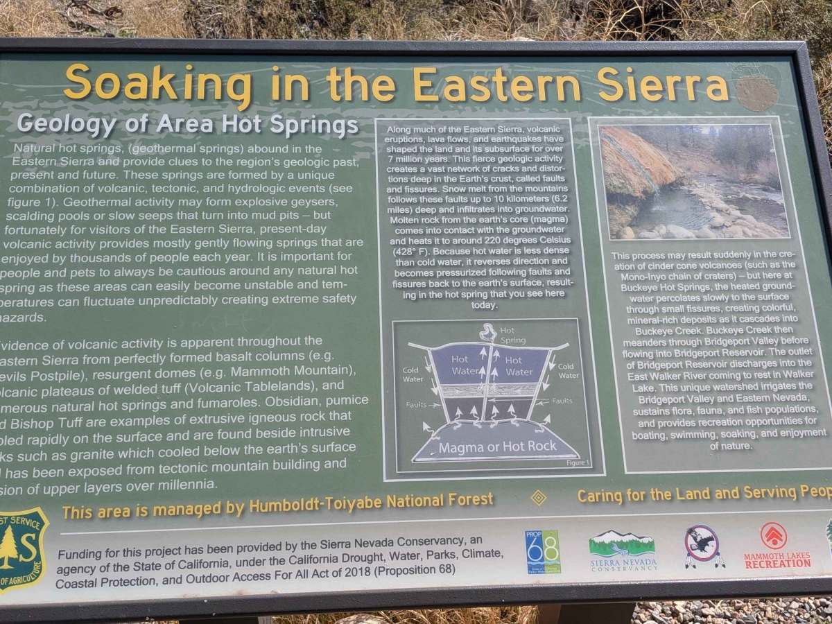
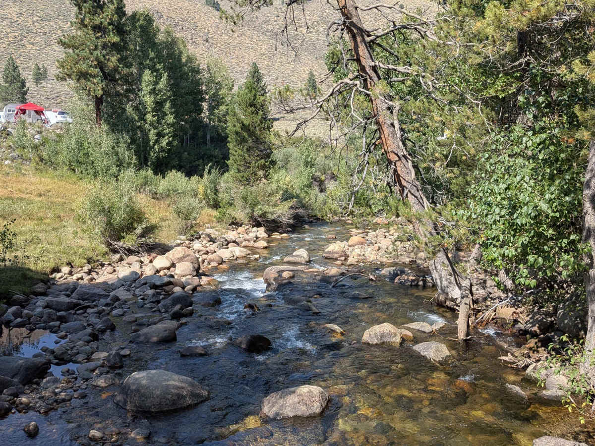
Buckeye Hot Springs was historically a site for the local Paiute Native American tribe before European settlement, with the name "Isha" referring to the sacredness of the place in their beliefs. The name "Buckeye" is derived from the calcium carbonate deposits, or travertine, that have built up over time. In the mid-1890s, the travertine was mined to construct San Francisco City Hall. Today, the site is managed by the Bureau of Land Management (BLM) and is a popular recreational destination for its natural pools.