Trail Overview
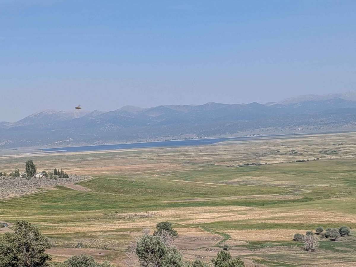
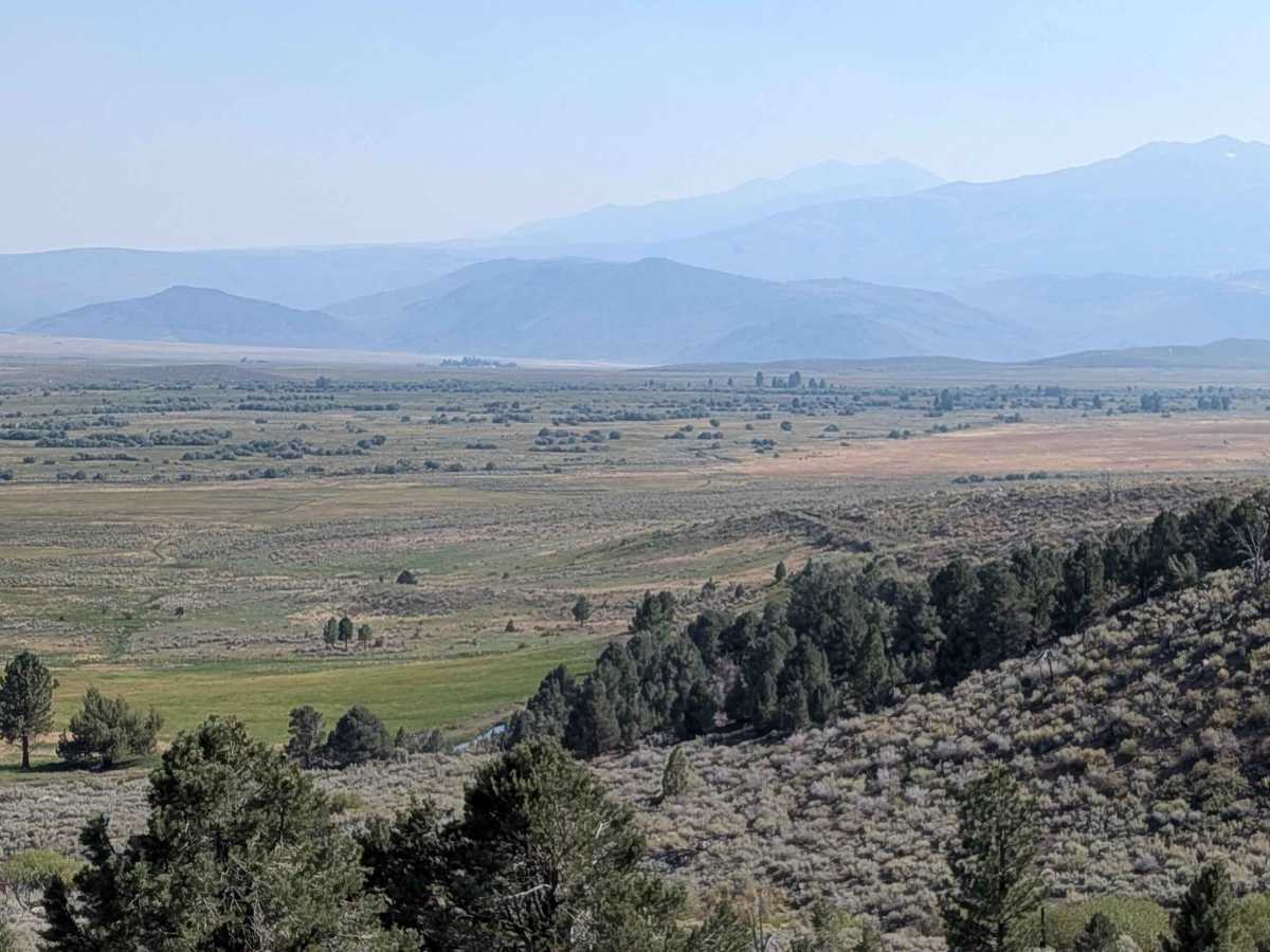
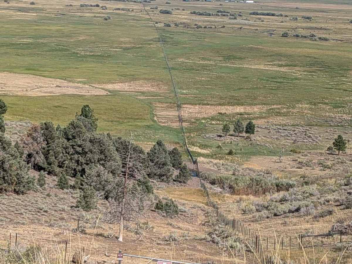
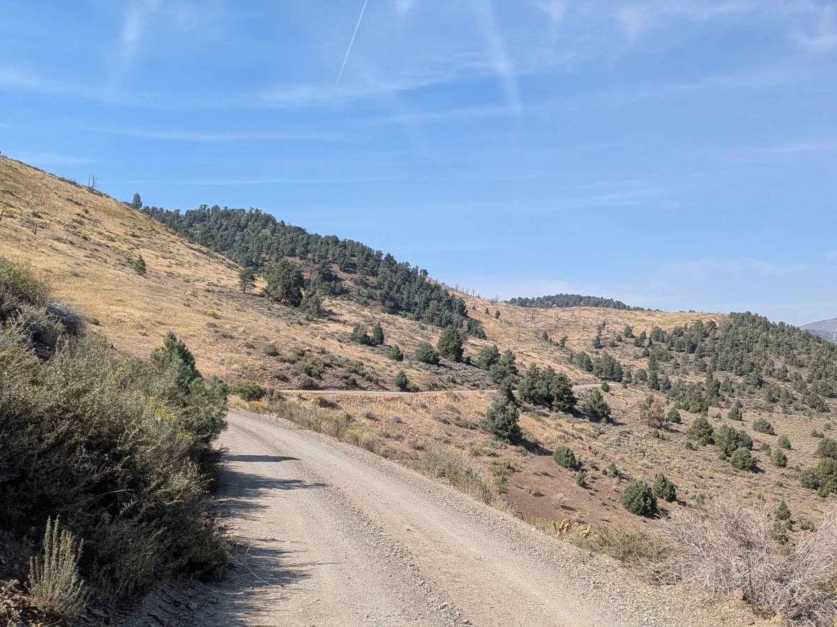
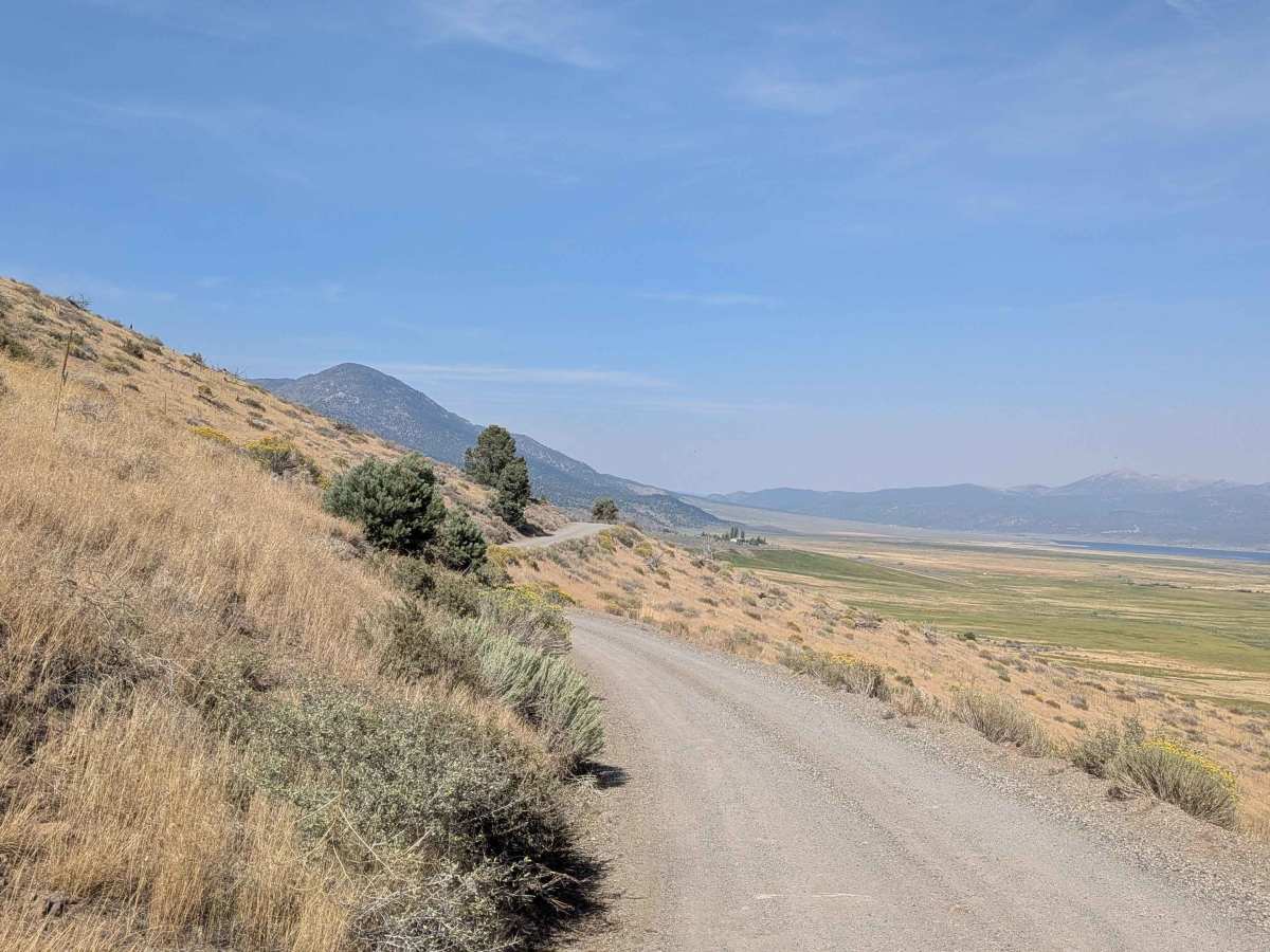
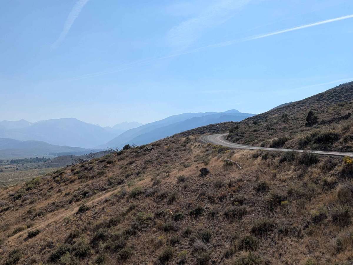
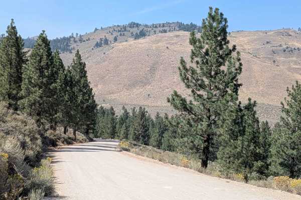
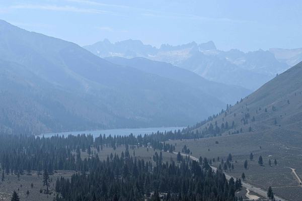
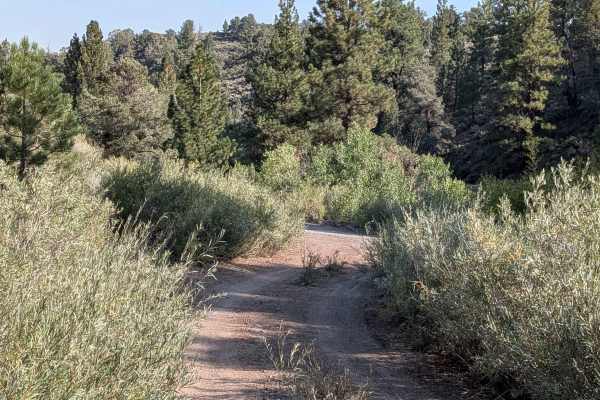
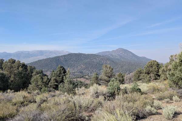
This route climbs more than 500 feet and drops about 80 feet in under 5 miles, making it a scenic but slightly longer way into Buckeye Hot Springs. The trail alternates between about one and a half vehicles wide, so you’ll likely need to use the pull-outs to let oncoming traffic pass. The surface is sandy with plenty of washboards, and the route is lined with thick brush and seasonal wildflowers. Several sections open into shelf roads overlooking Bridgeport and Bridgeport Reservoir, providing beautiful vantage points of the Eastern Sierras and Bodie Mountains. The trail provides a longer and slightly more challenging approach to Buckeye Hot Springs compared to the shorter access routes. Be mindful of seasonal fire restrictions and limited space at the springs during busy weekends.
Difficulty
This is a relatively straightforward drive, but the washboards and narrow width make it slower going. This route is best travelled with aired-down tires, but is accessible to most vehicles in good conditions.
History
Buckeye Hot Springs was historically a site for the local Paiute Native American tribe before European settlement, with the name "Isha" referring to the sacredness of the place in their beliefs. The name "Buckeye" is derived from the calcium carbonate deposits, or travertine, that have built up over time. In the mid-1890s, the travertine was mined to construct San Francisco City Hall. Today, the site is managed by the Bureau of Land Management (BLM) and is a popular recreational destination for its natural pools.