BLM SV2671

Total Miles1.3
Technical Rating
2Easy
Best TimeSpring, Summer, Fall
Trail TypeFull-Width Road
Accessible By
Open Trail Map

Trail Overview

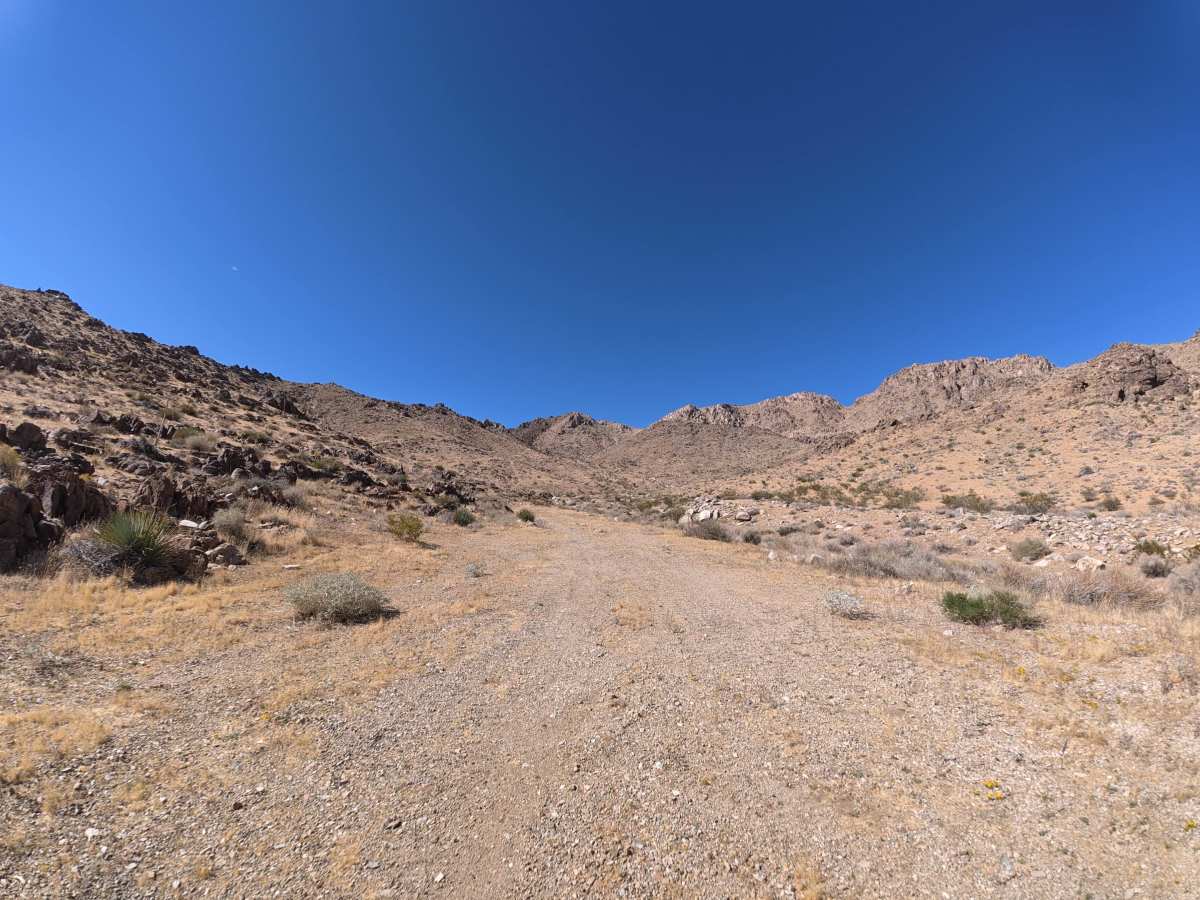
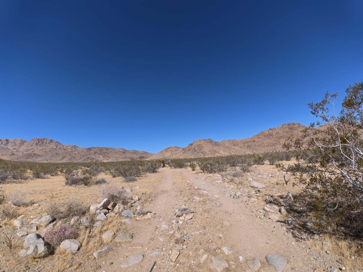
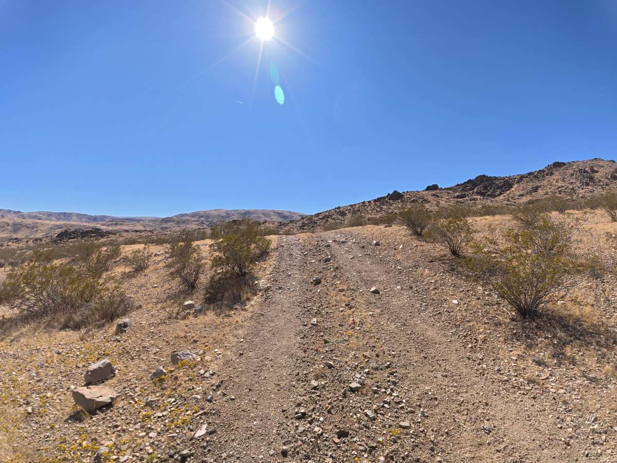
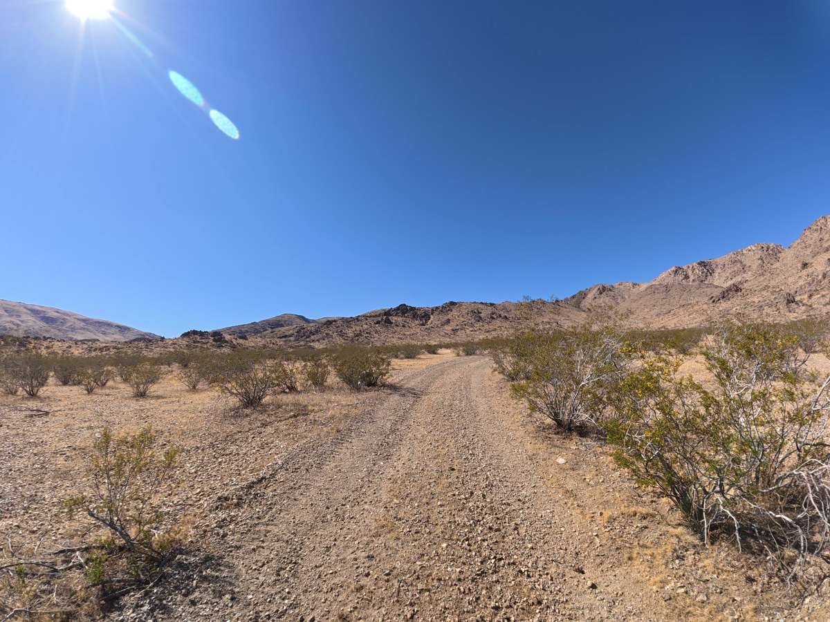
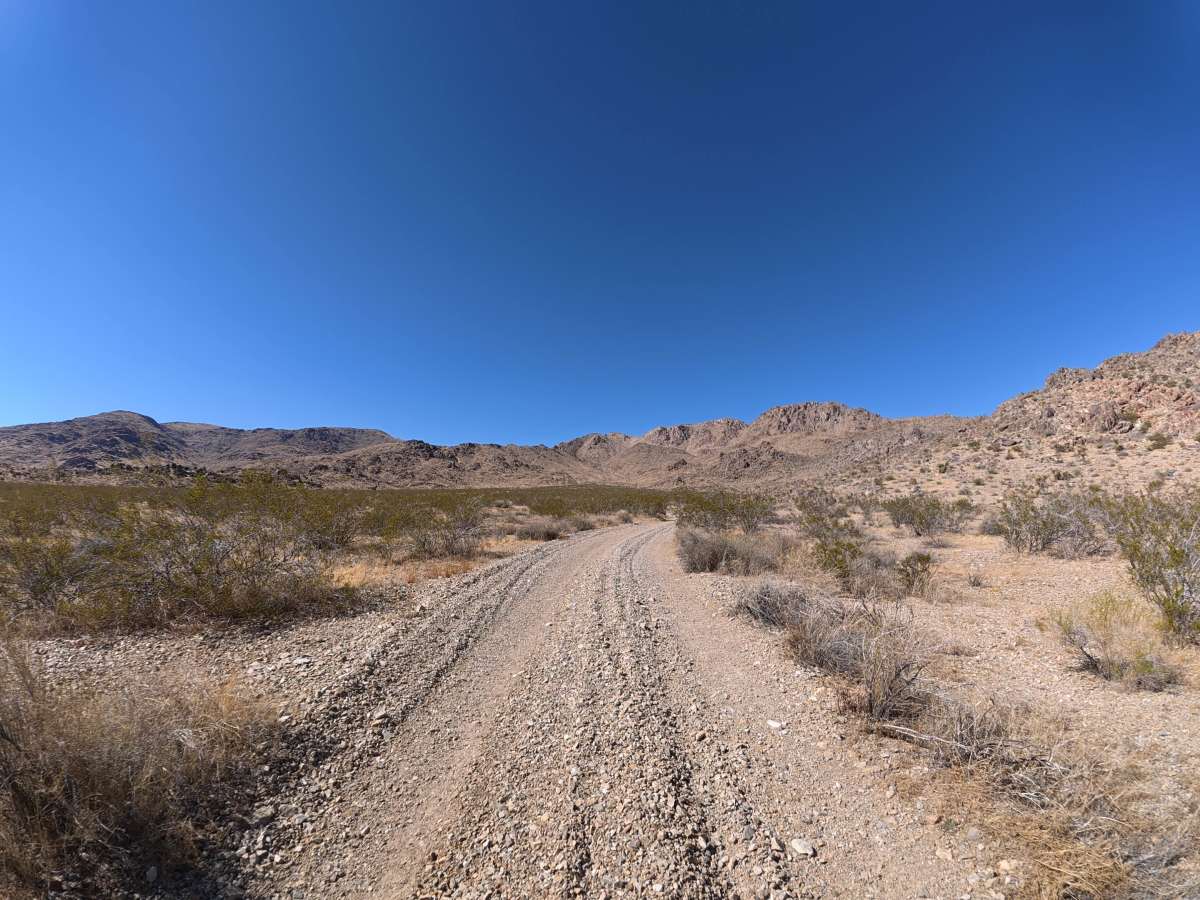
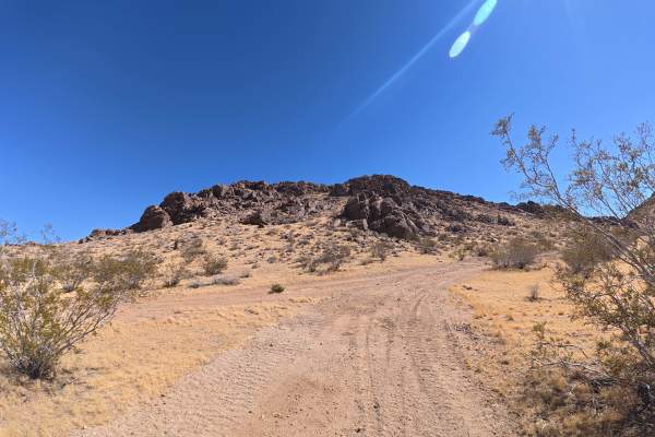
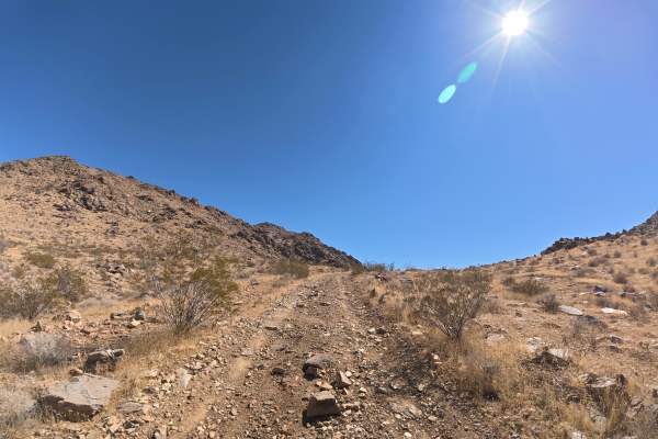
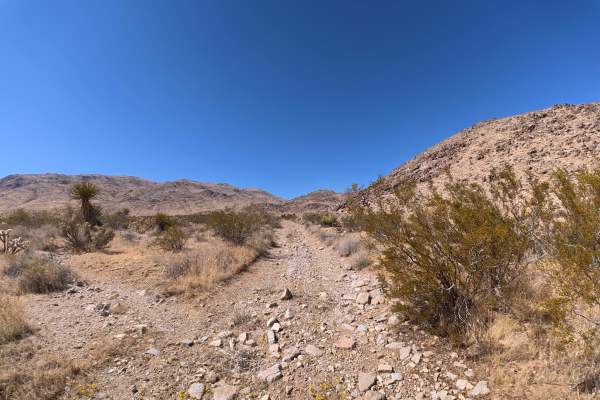
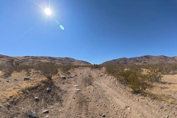
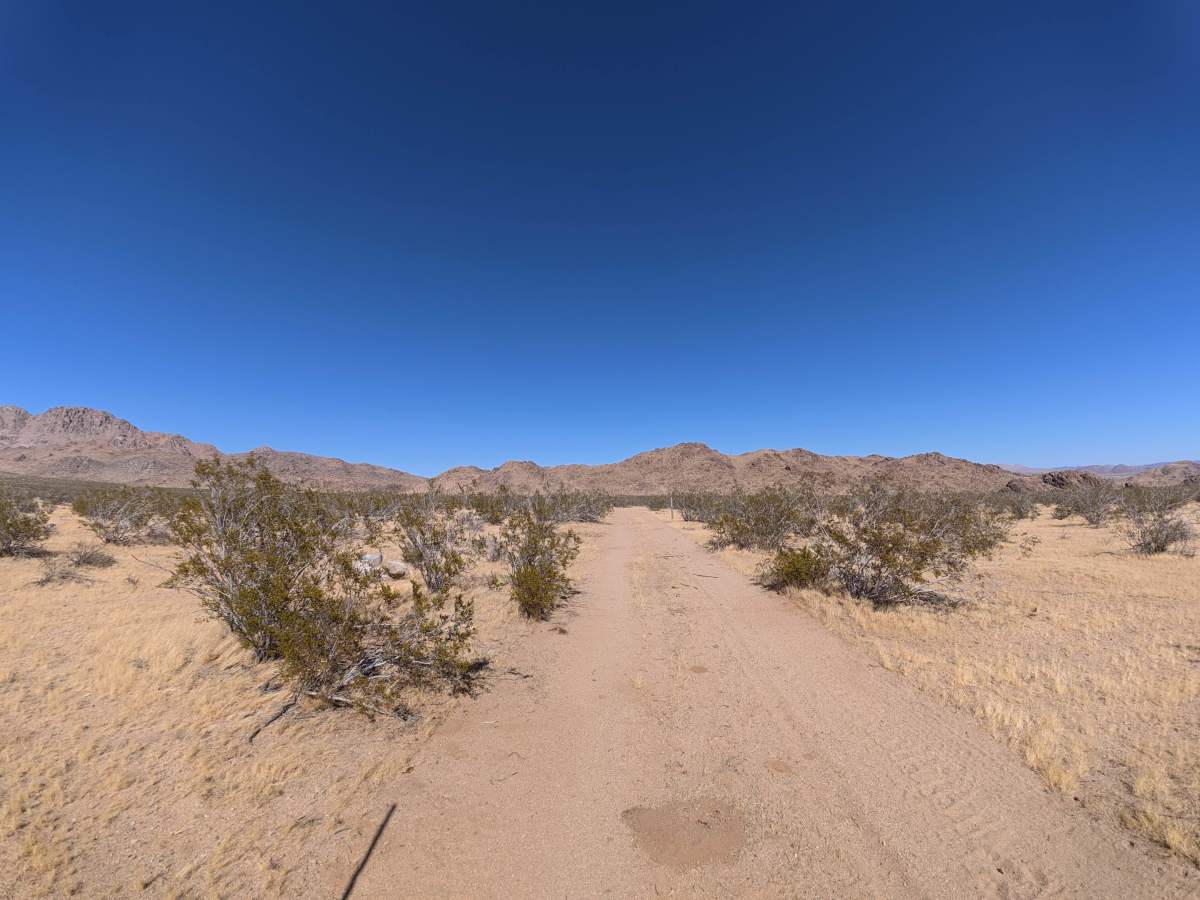
BLM SV2671 travels over fine, loose sand that can become more difficult when wet. The trail is narrow with heavy overgrown vegetation, making passing difficult and pinstriping very likely. Ruts reach 6–8 inches deep, with several 2–3 foot whoops and washed-out sections that create 8–10° off-camber angles. The route heads toward the Sawtooth Hills, surrounded by rugged rock formations and scenic desert hills. Camping is abundant throughout, with numerous level campsites accommodating up to six vehicles each.

Photos of BLM SV2671

Difficulty

This trail is rated Level 2 because of its 6–8-inch ruts, large whoops, washed-out sections, and up to 8–10° off-camber terrain. Heavy vegetation and the narrow trail add some difficulty, but the route remains relatively mild overall.

History

The BLM lands around Sawtooth Canyon reflect the long history of California’s Mojave Desert, where Indigenous peoples traveled and lived for thousands of years before miners, ranchers, and settlers arrived in the 1800s. The surrounding desert also contains remnants of the region’s mining and homesteading era, while its rugged volcanic rock formations preserve a much older geologic history.

Technical Rating

2

BLM SV2671 Trail can be accessed by the following ride types:

  • Single Track
  • 50 Inch
  • 60 Inch
  • High Clearance
  • Full Width

BLM SV2671 Map

The onX Offroad Difference

onX Offroad combines trail photos, descriptions, difficulty ratings, width restrictions, seasonality, and more in a user-friendly interface. Available on all devices, with offline access and full compatibility with CarPlay and Android Auto. Discover what you're missing today!

Open Trail Map