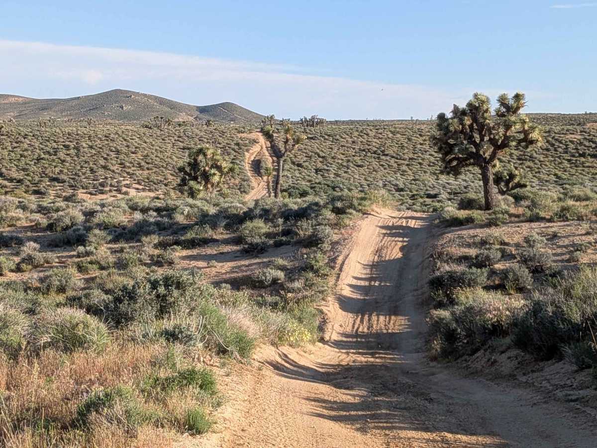
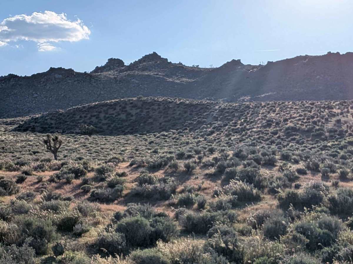
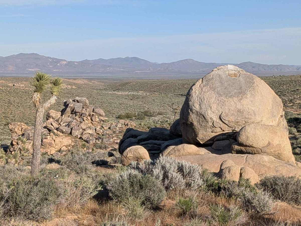
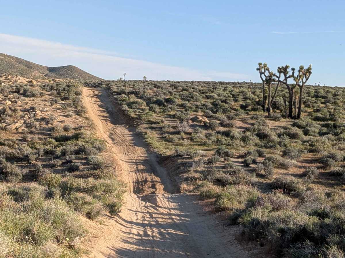
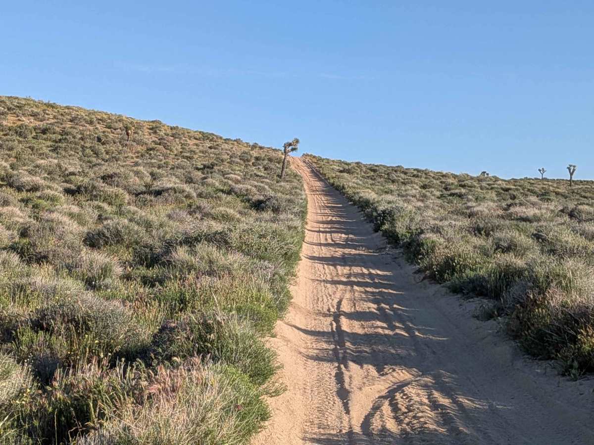
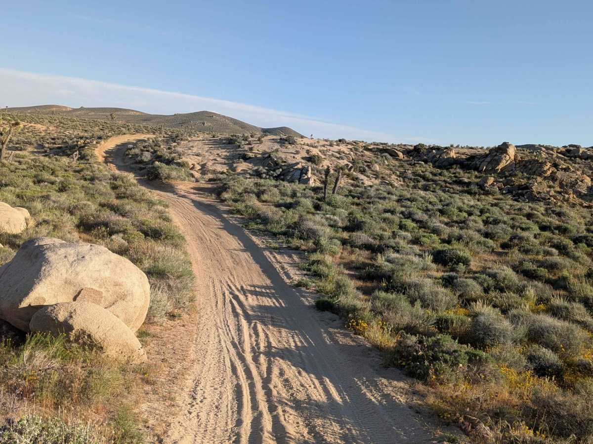
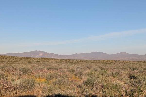
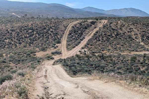
Trail Overview
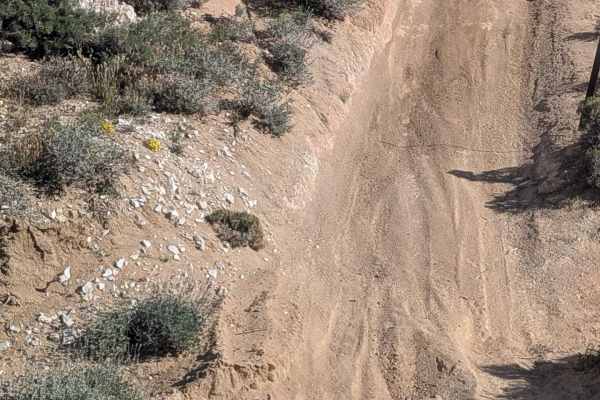
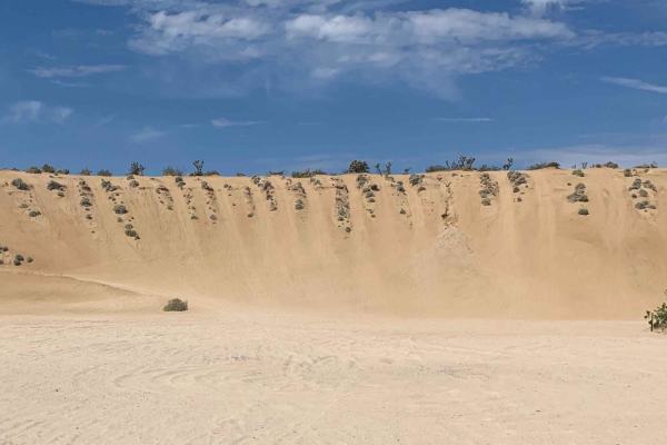
Covered in fine sand at one vehicle width, this route winds up and down many medium-sized hills, creating rhythmic elevation changes. Surrounded by lots of Joshua trees and desert brush, with the Eastern Sierra Mountains easily visible, along with the El Paso Mountains providing layered scenery. Many nice rock formations appear throughout, adding geological interest to admire. Ruts, off-camber sections, and uneven surfaces plunge up to 18 inches deep, creating serious obstacles scattered along the winding path.
Difficulty
Those ruts, off-camber sections, and uneven surfaces up to 18 inches deep are severe obstacles demanding high clearance and skilled navigation repeatedly. Fine sand throughout requires momentum management, while one vehicle width leaves zero margin for error when navigating those deep obstacles. Winding up and down many medium hills adds continuous elevation changes without respite. The combination of fine sand, 18-inch obstacles, narrow width, and constant hills creates a legitimately challenging route. Four wheel drive and high clearance are essential, suitable only for capable vehicles with experienced drivers.