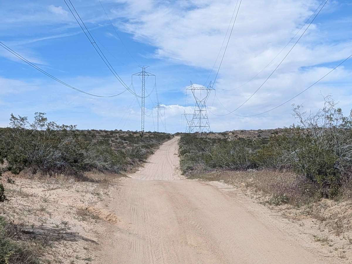
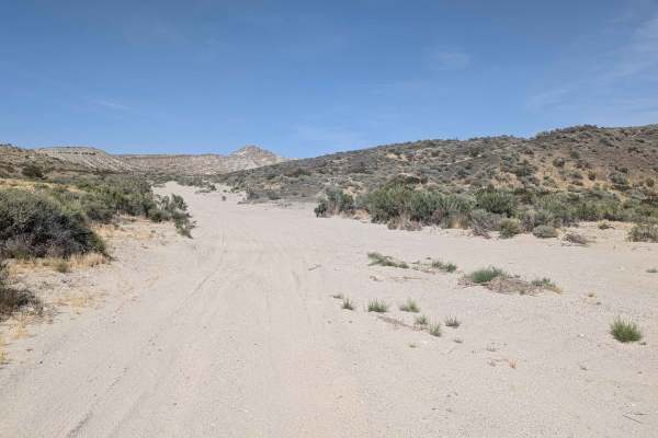
Trail Overview
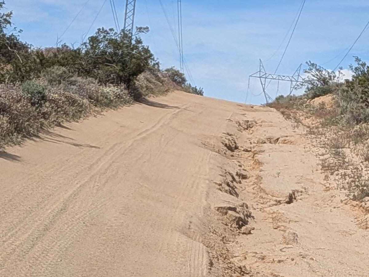
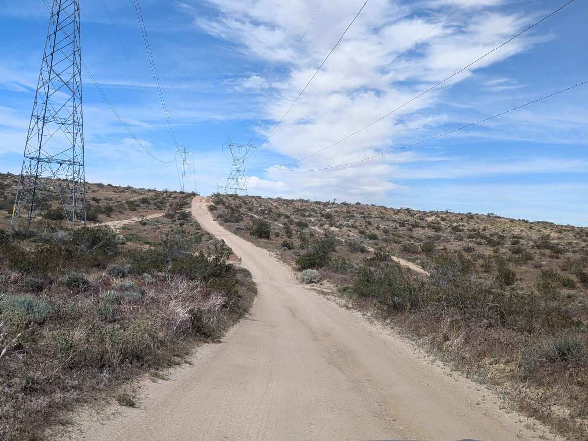
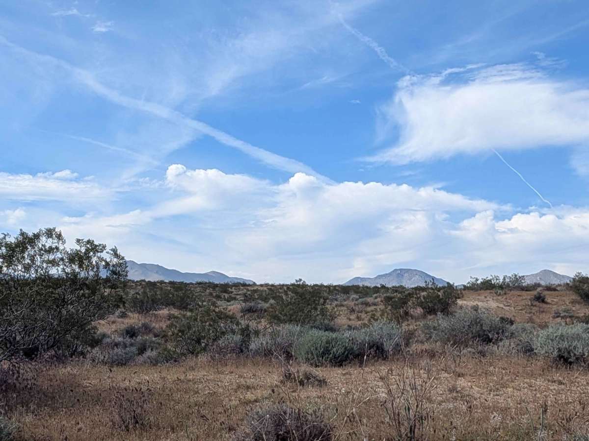
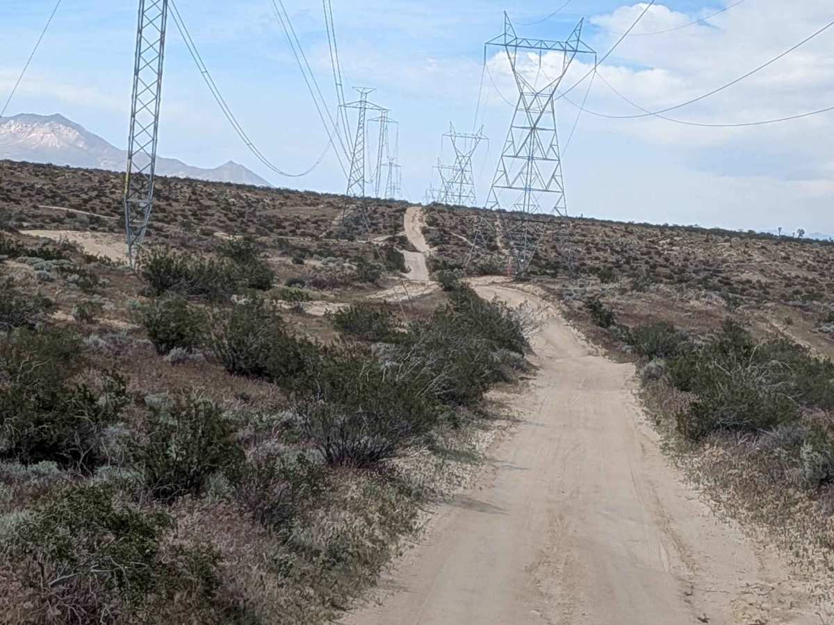
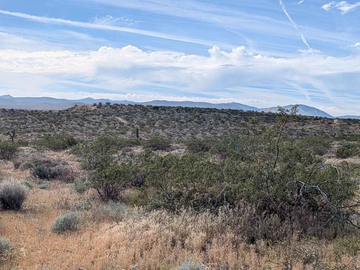
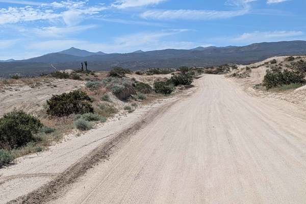
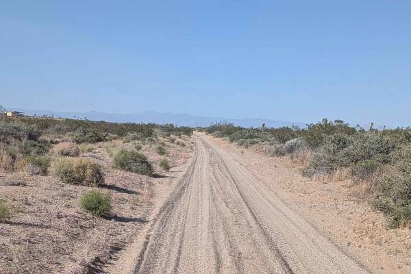
This 1.5 vehicle-wide route combines hard-packed and loose sand while following dual power lines for navigation reference. Red Rock Canyon State Park Mountains rise to your east while the Eastern Sierra Mountains tower to your west, creating dramatic corridor scenery. The trail winds up and down various small hills running parallel to Highway 14, serving as a north-to-south option for avoiding pavement. Lots of ruts plunge up to 18 inches deep throughout, while washboards add jarring sections. A couple of lower spots along the trail accumulate water and become very muddy after rain, transforming those sections into challenging obstacles when wet.
Difficulty
Those lots of ruts up to 18 inches deep are serious obstacles demanding high clearance and careful line selection repeatedly. The combination of hard-packed and loose sand requires constant traction adjustment. Washboards create a punishing ride over distance. A couple of lower spots that accumulate water and get very muddy after rain can stop vehicles entirely when wet, creating impassable mud pits. Timing after rain matters significantly. High clearance and Four wheel drive are essential, with mud conditions potentially requiring recovery gear.