Trail Overview
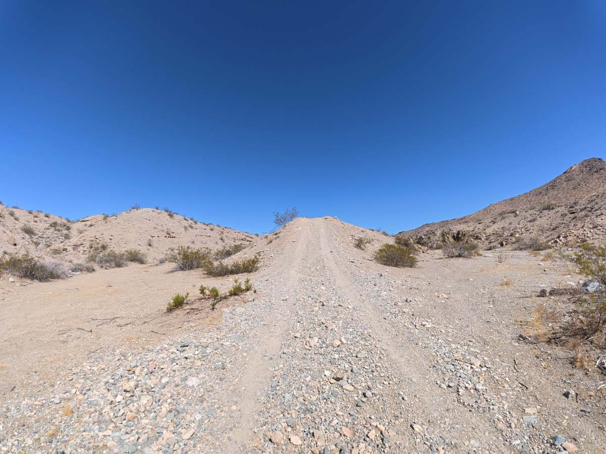
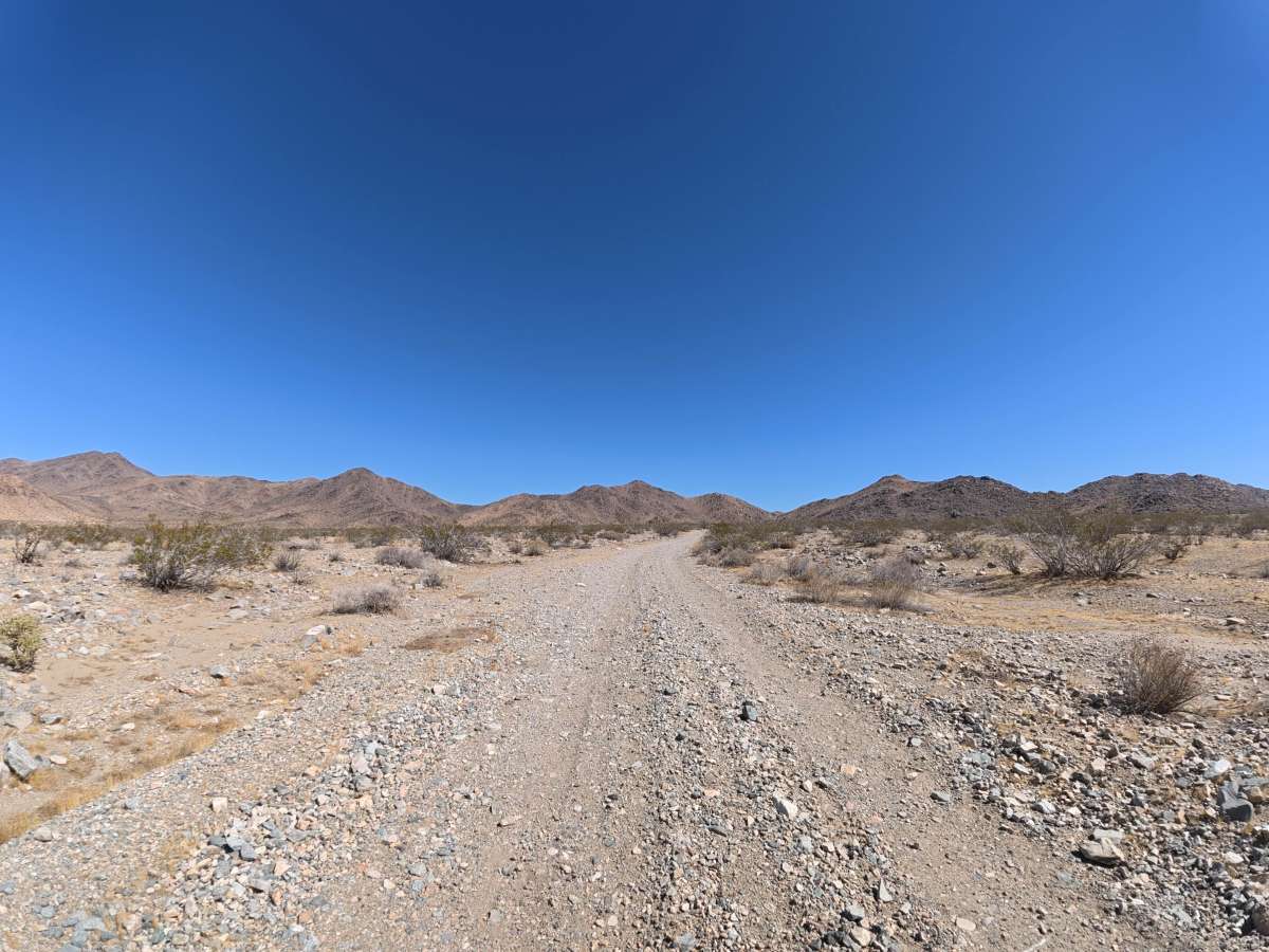
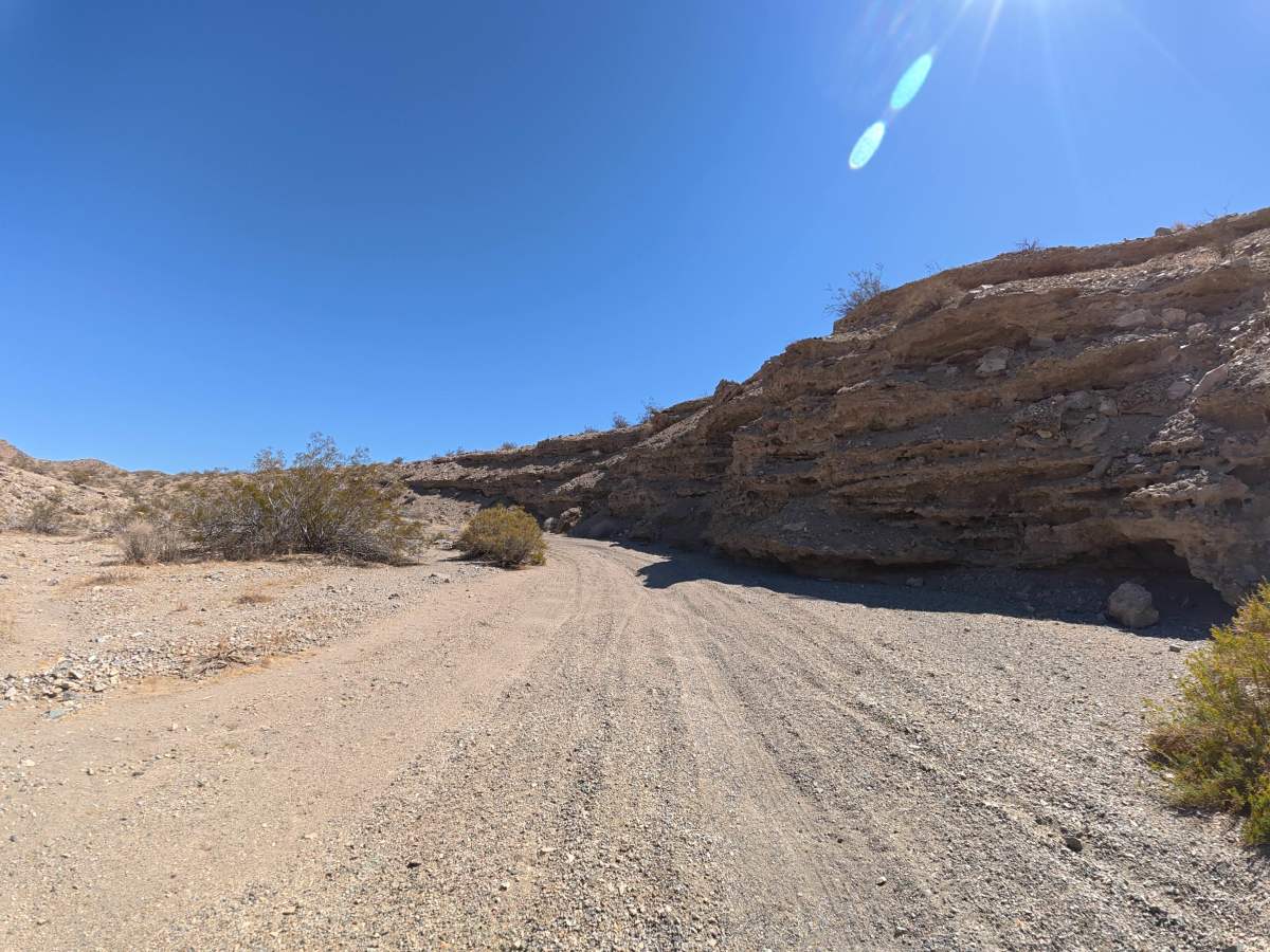
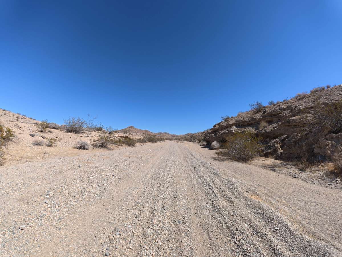
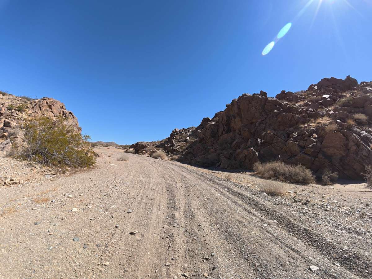
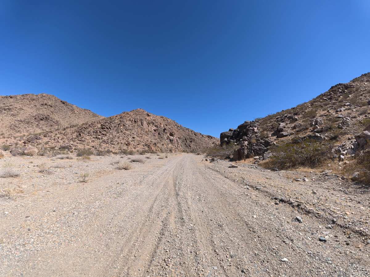
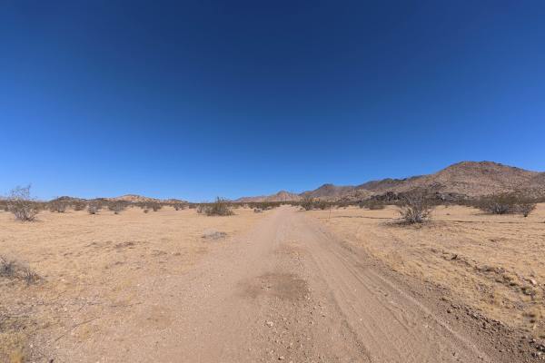
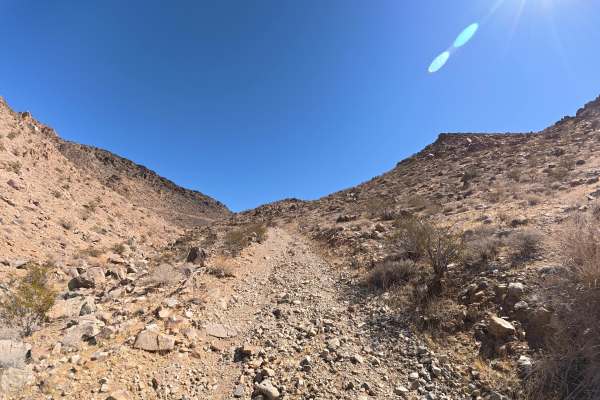
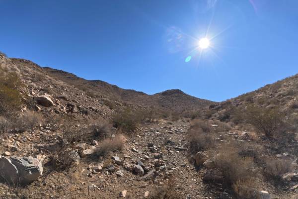
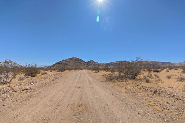
BLM 0M6618 begins after crossing a large section of private land via a public right-of-way. The narrow trail consists of fine, loose sand and dirt with limited passing opportunities, although occasional pullouts are available. Ruts reach 12–16 inches deep, with frequent rock gardens and scattered 2–8 inch rocks as the route heads toward the hills and deeper into the BLM trail network. Camping is abundant throughout the area. Around 0.6 miles, a level campsite on the left accommodates up to 14 vehicles beside the canyon and rock formations. Additional sites around 0.8 miles accommodate up to 12 vehicles each. The trail ends prematurely at a massive rockfall, where a large, level campsite accommodates up to 14 vehicles and receives shade from the surrounding canyon walls.
Difficulty
This trail is rated Level 3 because of the loose surface, 12–16 inch ruts, frequent rock gardens, and scattered 2–8 inch rocks. The narrow terrain and deeper ruts require careful vehicle placement.
History
The BLM lands around Sawtooth Canyon reflect the long history of California’s Mojave Desert, where Indigenous peoples traveled and lived for thousands of years before miners, ranchers, and settlers arrived in the 1800s. The surrounding desert also contains remnants of the region’s mining and homesteading era, while its rugged volcanic rock formations preserve a much older geologic history.

 Offroad