Trail Overview
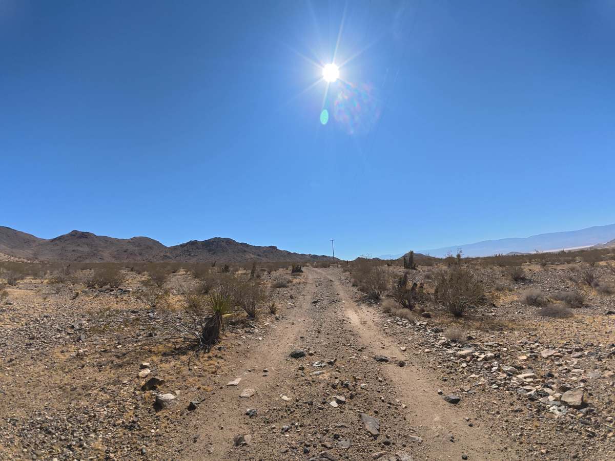
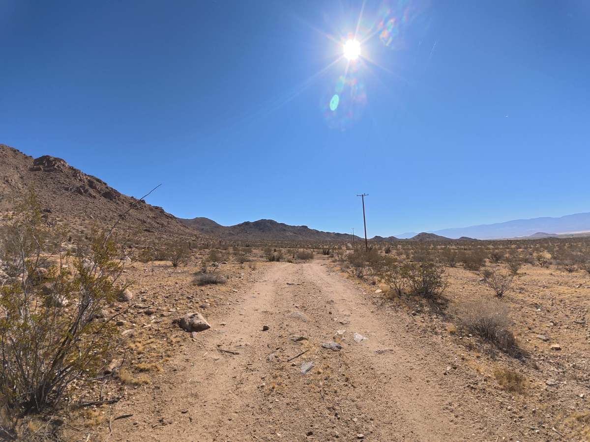
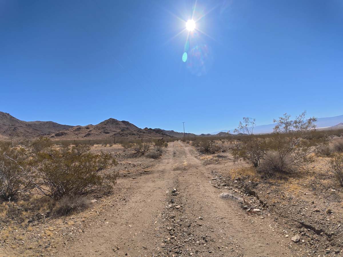
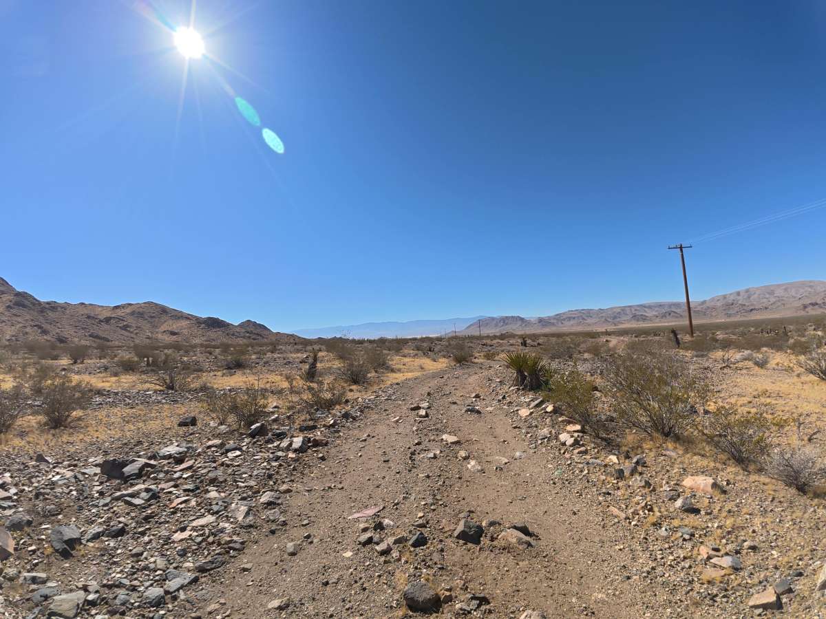
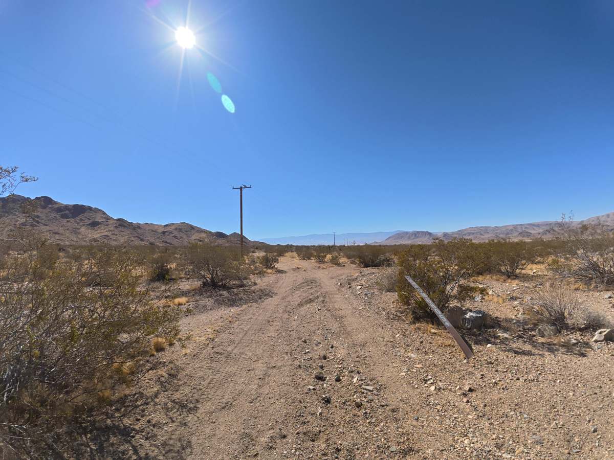
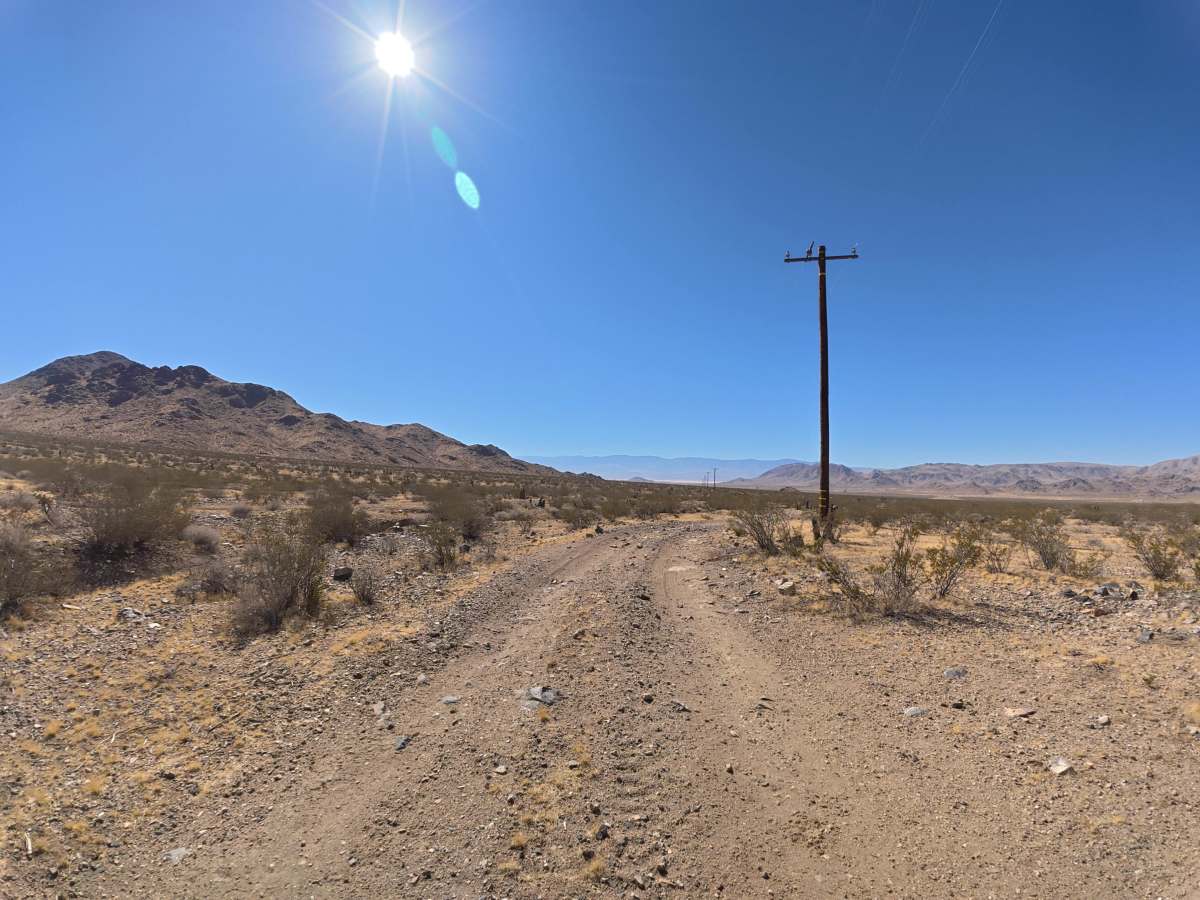
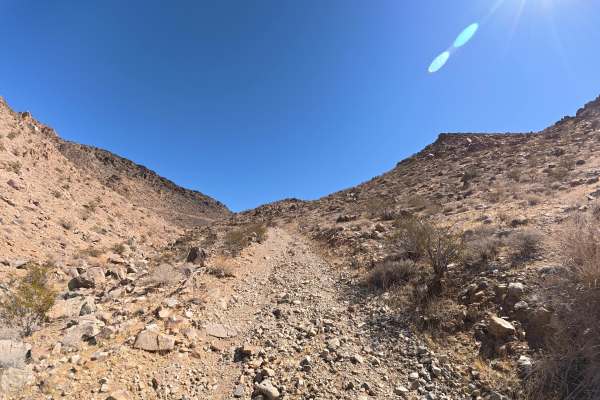
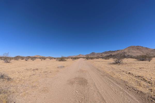
This fine, loose dirt-and-sand trail begins close to the paved highway, and the trailhead can be difficult to see, so exit carefully. Rock gardens, ledges, and other rocky obstacles reach 6–8 inches tall, with some sections requiring approximately 12 inches of front-end approach clearance. 4WD or AWD is highly recommended, particularly when the loose surface is wet. The route offers excellent views of Sawtooth Canyon, the surrounding desert valley, and distant mountain ranges. Numerous level campsites are located along the left side, farther from the highway, with fire rings and room for approximately four vehicles each.
Difficulty
This trail is rated Level 2 because of its loose surface, 6–8 inch rocks and ledges, and sections requiring additional front-end clearance. There are no major technical obstacles, but 4WD or AWD is highly recommended.
History
The BLM lands around Sawtooth Canyon reflect the long history of California’s Mojave Desert, where Indigenous peoples traveled and lived for thousands of years before miners, ranchers, and settlers arrived in the 1800s. The surrounding desert also contains remnants of the region’s mining and homesteading era, while its rugged volcanic rock formations preserve a much older geologic history.