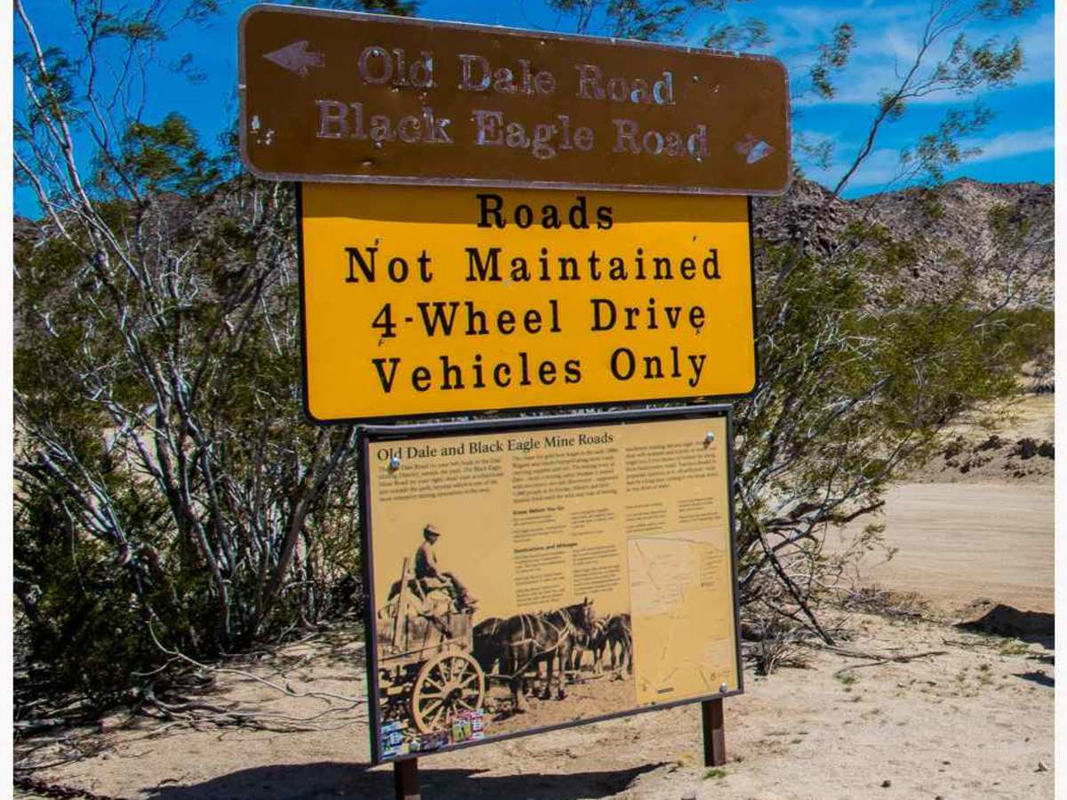
Trail Overview
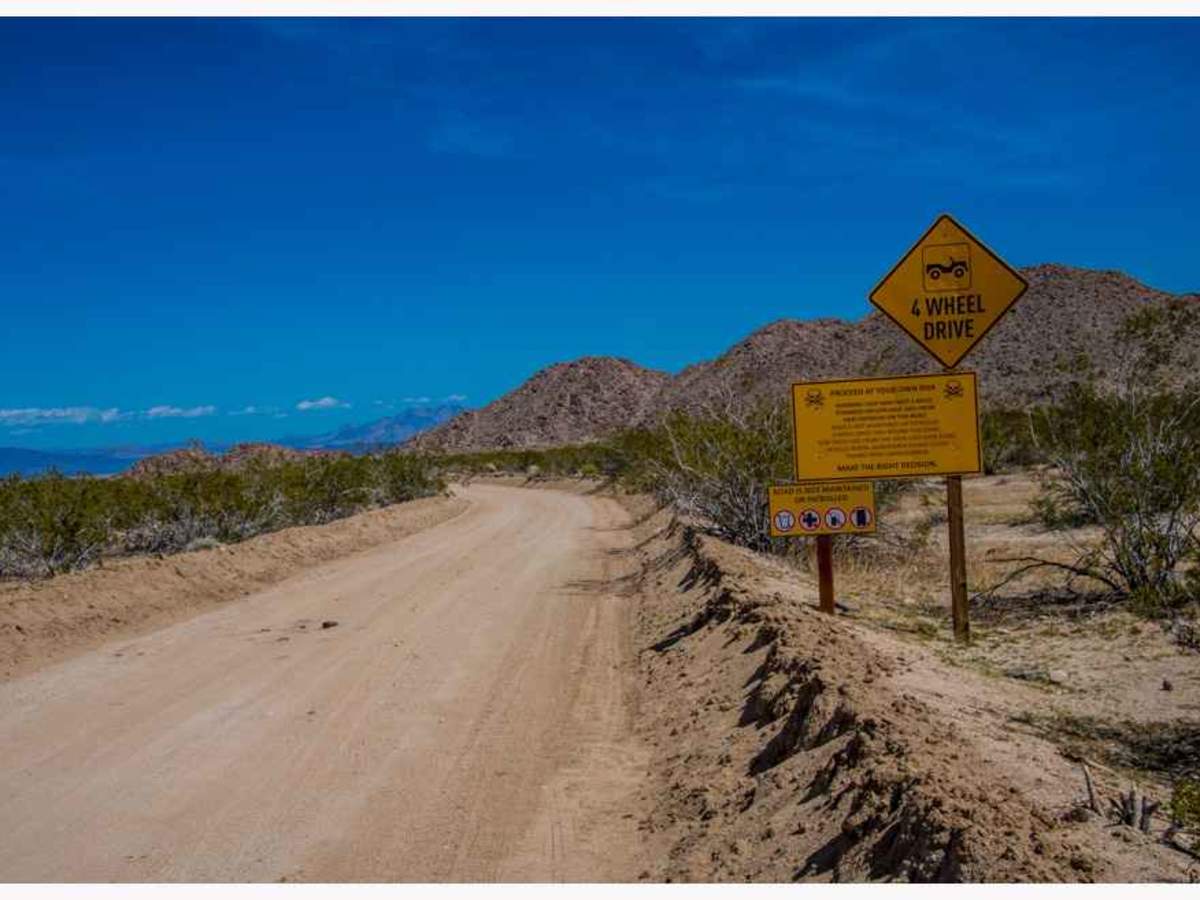
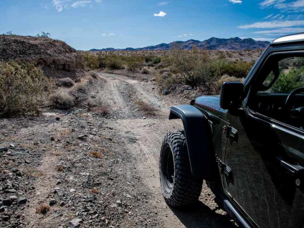
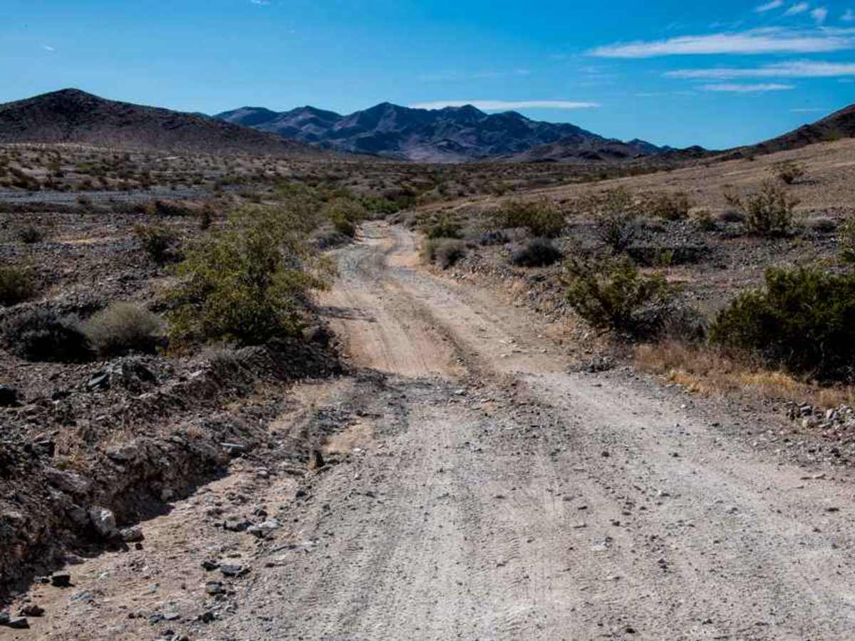
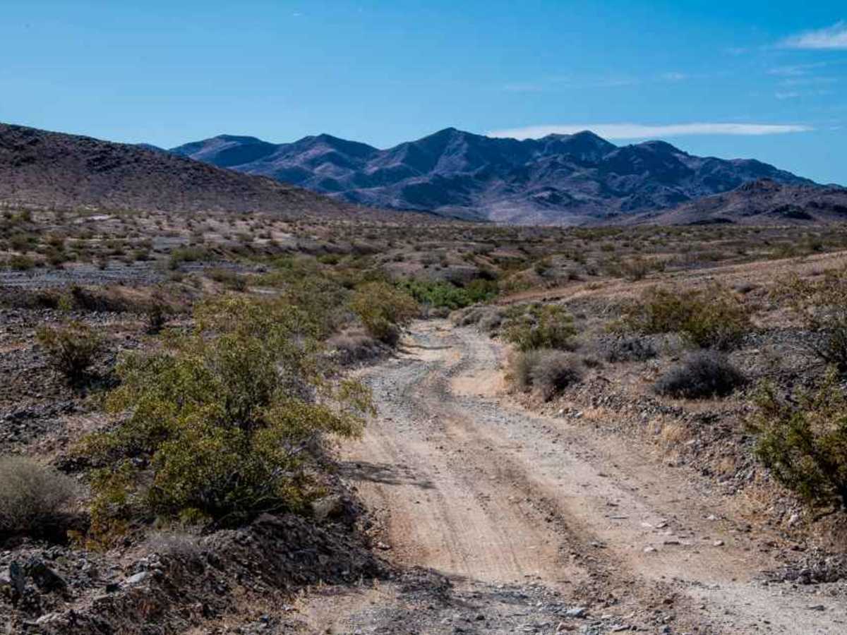
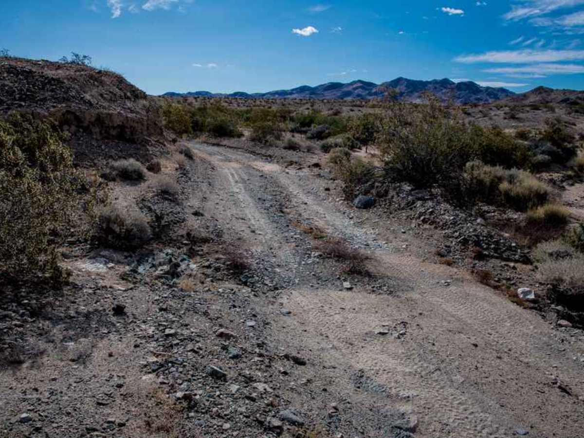
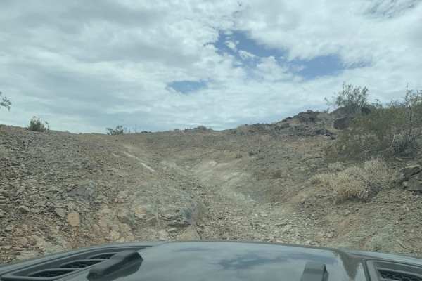
Black Eagle Mine Road is a 9.6-mile road in Joshua Tree National Park. This is an out-and-back road. Along this route, there are turnouts to stop and explore on foot and take photos. The road is easy with washboards here and there. Small wash crossings are dispersed throughout the road; just keep your speed slow to watch for them. At about 7 miles, you will come to a large wash which has been graded, but it can be rough after the weather has come through it. After that, the road gets rocky, and the washes get rocky.
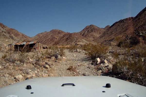
At the Joshua Tree National Park boundary sign. The road to the left leads to other areas of the Black Eagle Mining District. To the left of the road is the Joshua Tree National Park Wilderness area; stay on the main road, and to the right is the Bureau of Land Management (BLM). Continuing straight leads to the Black Eagle Mining District in Bureau of Land Management (BLM) lands. Many roads branch out throughout the area.
Difficulty
The road is easy with washboards here and there. Small wash crossings are dispersed throughout the road; just keep your speed slow to watch for them. At about 7 miles, you will come to a large wash which has been graded, but it can be rough after the weather has come through it. After that, the road gets rocky, and the washes get rocky.
History
Nestled within the rugged terrain of the Eagle Mountains in Riverside County, California, the Black Eagle Mine stands as a testament to the region’s rich mining heritage. Operating primarily from 1924 to 1940, the mine was a prolific producer of lead, silver, gold, and copper. Its substantial ore output played a pivotal role in bolstering the local mining industry during its operational years. The Black Eagle Mine’s significance extends beyond its immediate impact on the region’s economy. Its production of valuable minerals helped establish the Eagle Mountains as a prominent mining district, contributing to the area's overall economic development.