Antelope - FS 42N58

Total Miles1.5
Technical Rating
2Easy
Best TimeFall, Summer
Trail TypeFull-Width Road
Accessible By
Open Trail Map

Trail Overview

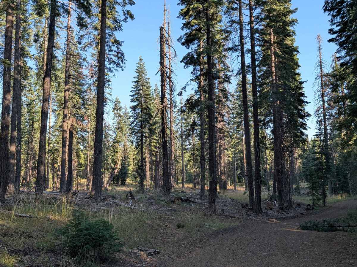
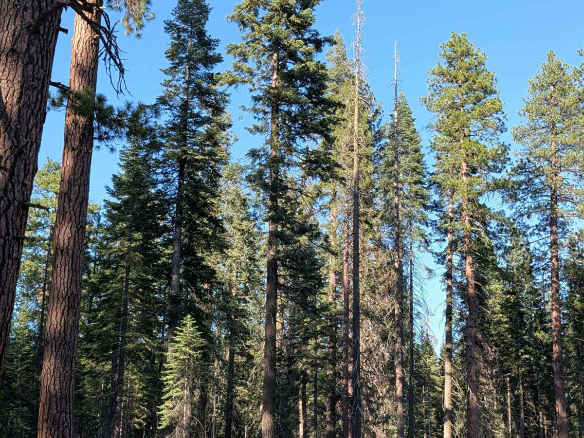
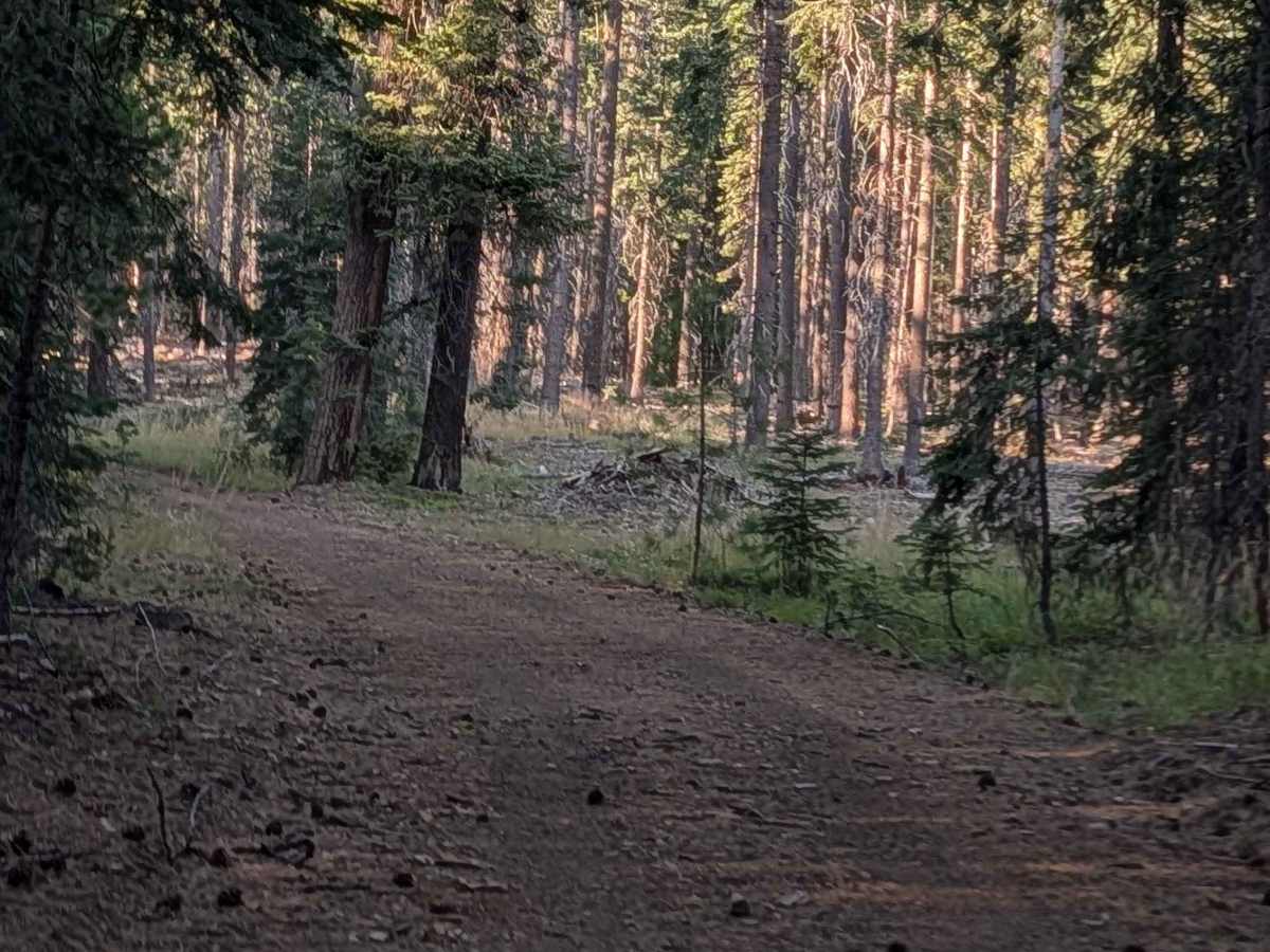
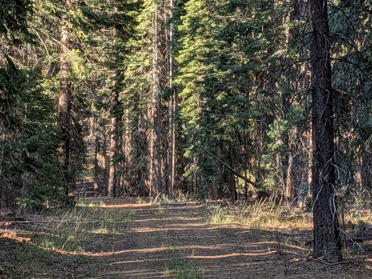
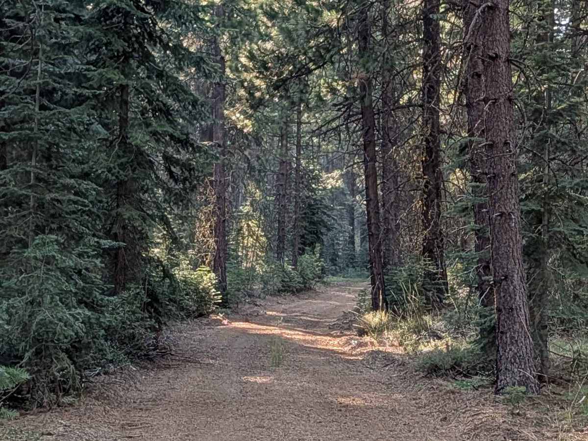
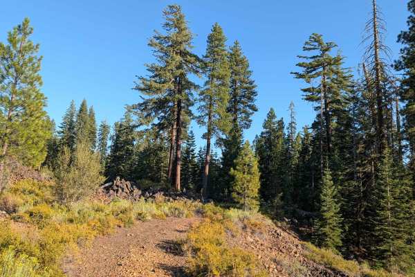
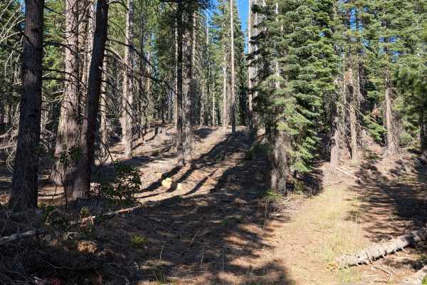
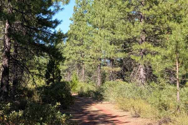
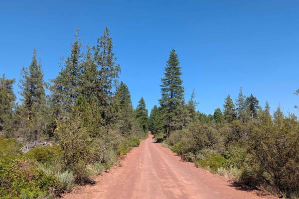
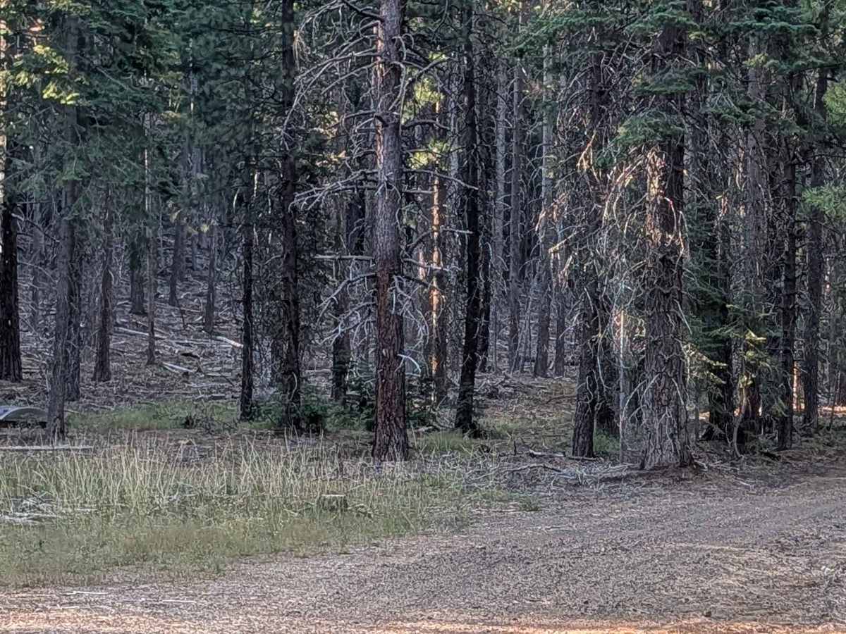
This 3-mile out-and-back route starts and ends at Black Lava FS42N23, beginning near large piles of volcanic rock. The route winds through a pine forest within the Shasta National Forest, climbing almost 400 feet over its length. The final stretch takes you up a hill on a shelf road offering views of the forest below. The trail stays 1 to 2 vehicles wide, with a surface of decomposed needles and dirt. Some overgrown grasses grow in the median. This trail passes through an active logging area, so drivers should stay alert.

Photos of Antelope - FS 42N58

Difficulty

This trail carries an easy difficulty rating of 2, with a 400-foot climb and a shelf road section near the end presenting the main considerations along the route.

Technical Rating

2

Antelope - FS 42N58 Trail can be accessed by the following ride types:

  • Single Track
  • 50 Inch
  • 60 Inch
  • High Clearance
  • Full Width

Antelope - FS 42N58 Map

The onX Offroad Difference

onX Offroad combines trail photos, descriptions, difficulty ratings, width restrictions, seasonality, and more in a user-friendly interface. Available on all devices, with offline access and full compatibility with CarPlay and Android Auto. Discover what you're missing today!

Open Trail Map