Trail Overview
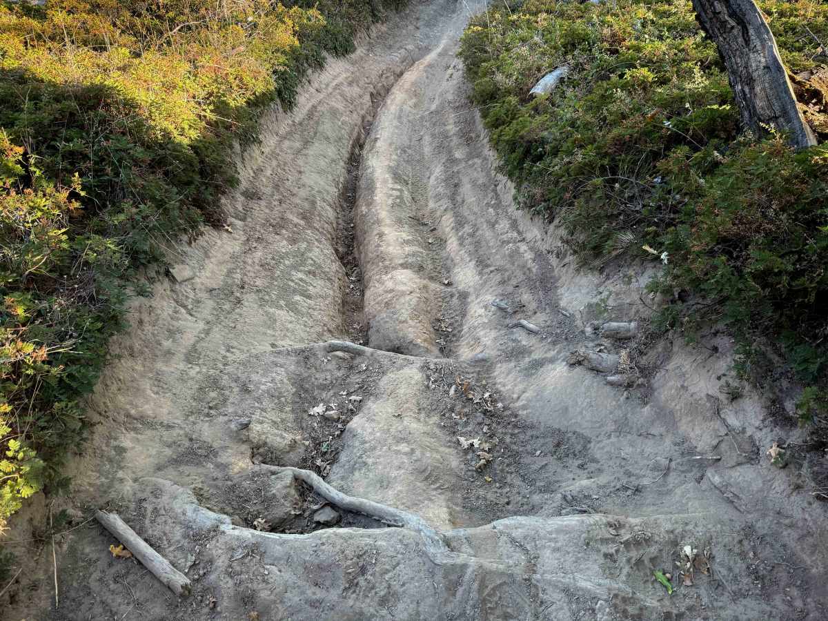
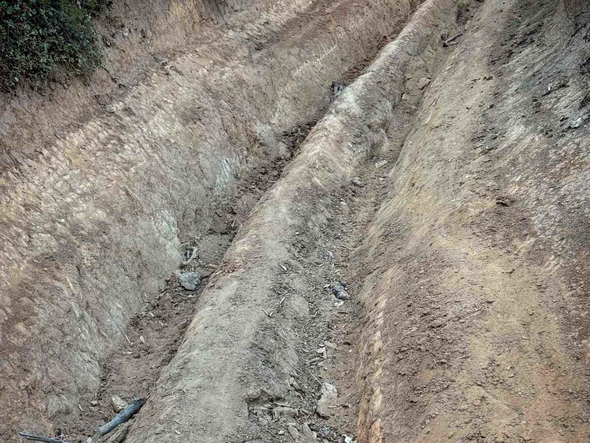
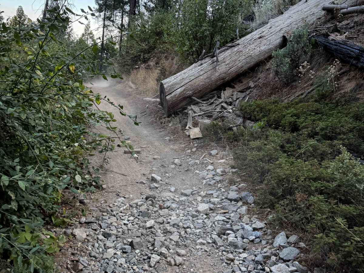
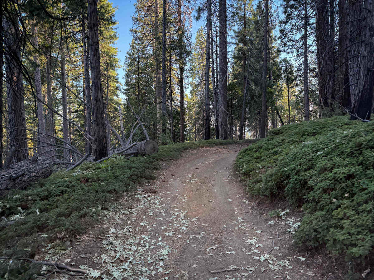
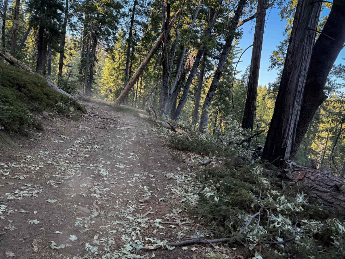
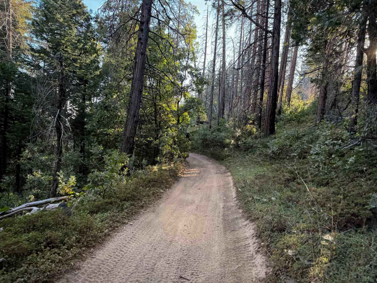
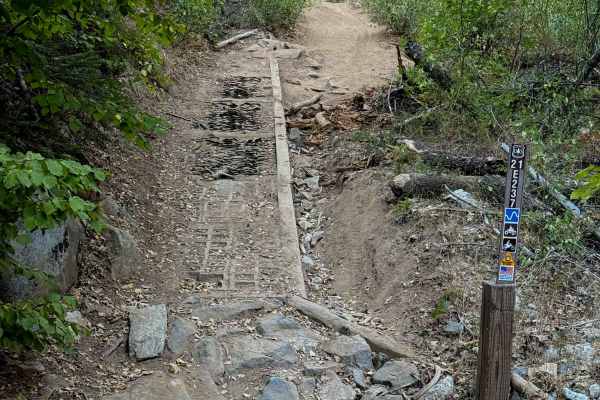
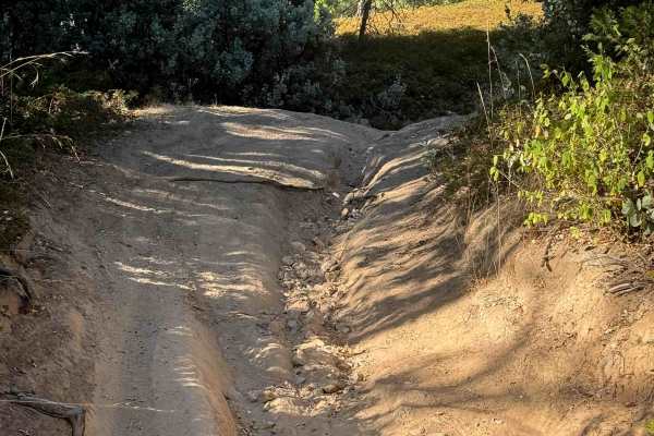
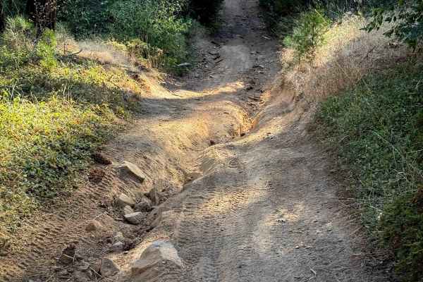
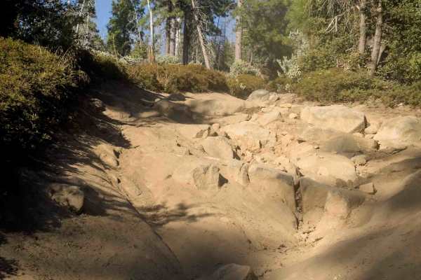
The north end of this trail starts out on a shelfy path curving around a hillside in a thick forested setting. The trail is smooth and gradual, and really scenic on the edge of the hill, lined with tall cedars and pines. At the intersection with 21E245, this trail turns south and gets more difficult with some deeper ruts and loose rocks. The first half mile was essentially flat, but then it drops almost 800 feet in elevation in the second half of the trail, making it quite steep. ATVs can straddle the ruts, but dirt bikes will have to pick the high points or get sucked into the troughs, which are pretty deep and sometimes filled with loose rocks. There are also a couple of small root ledges during the rutted sections that make it more moderate. It crosses Hugh Ryan Road (FS 6S024) at one point and ends at FS 6S041B.