White Rock Mountain West

Total Miles 10.2
Technical Rating
2 Easy
Best Time Spring, Fall, Winter
Trail Type Full-Width Road
Accessible By
Open Trail Map

Trail Overview

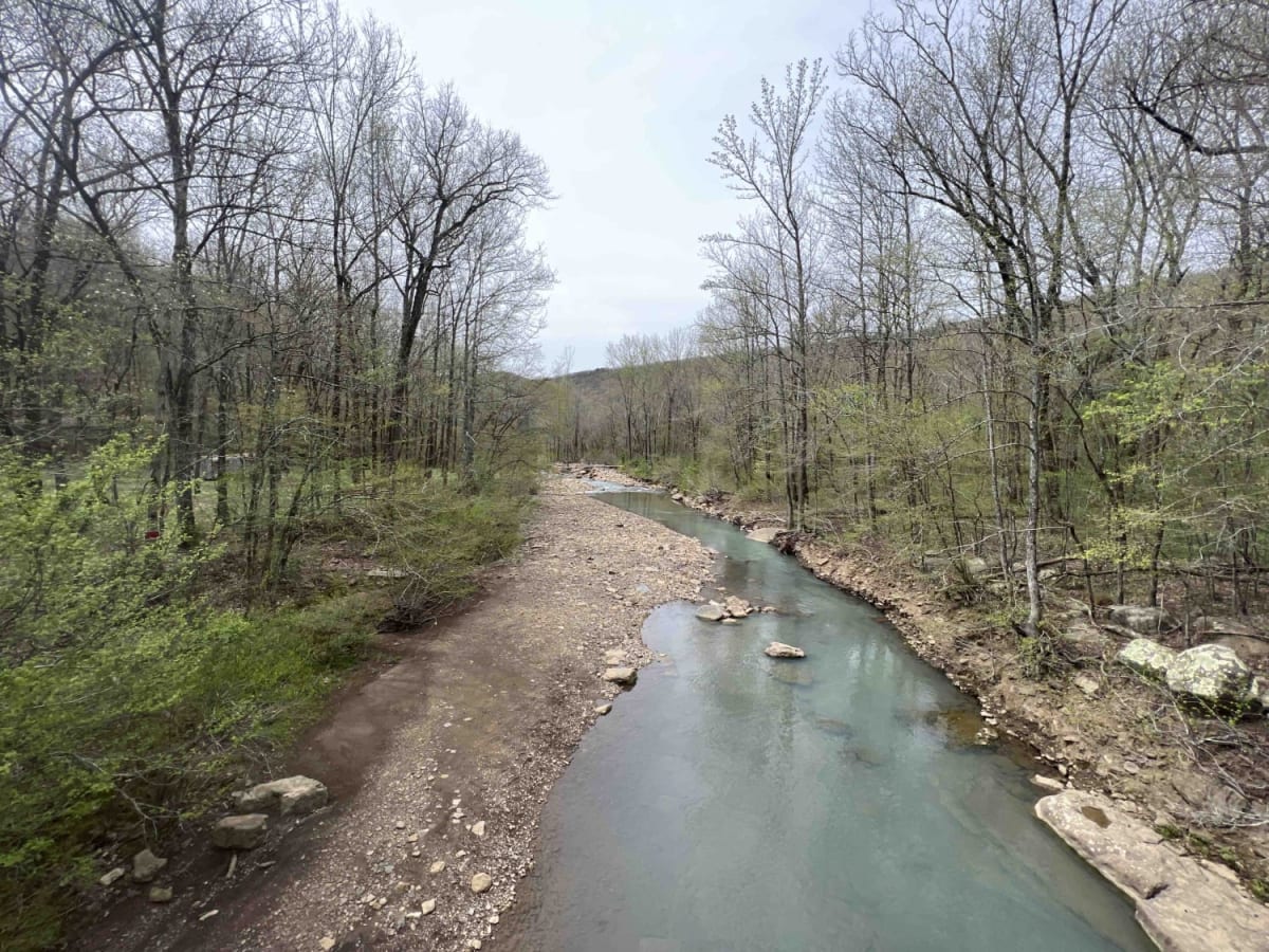
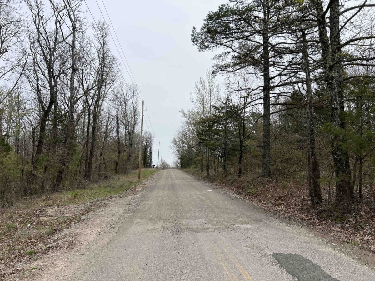
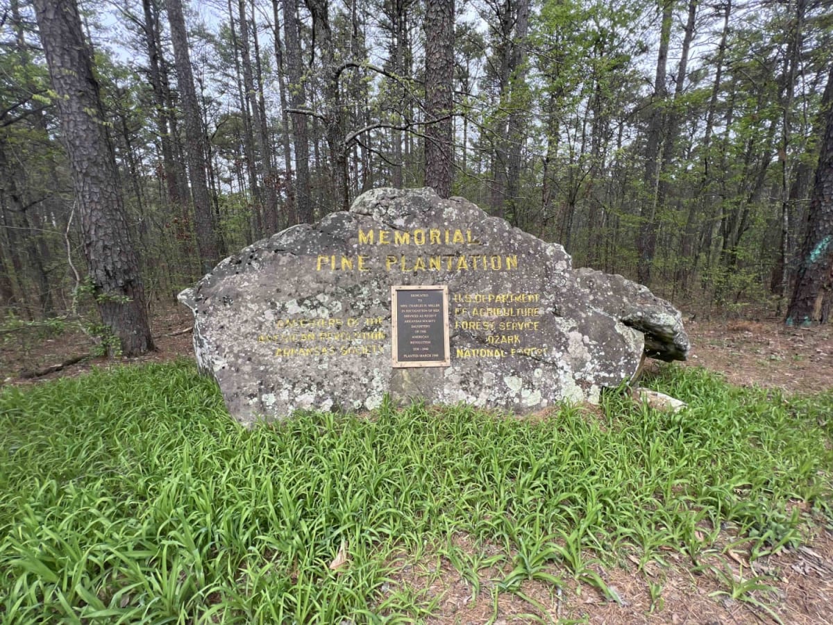
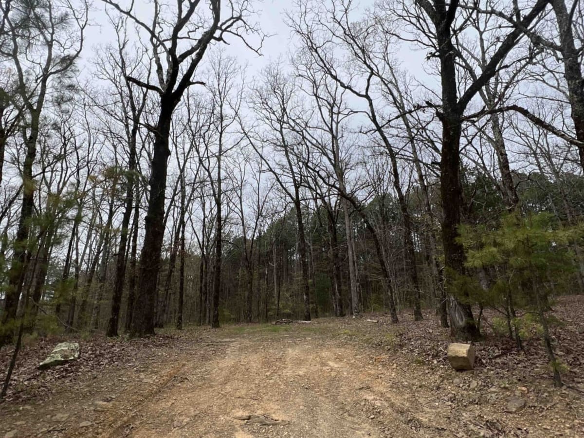
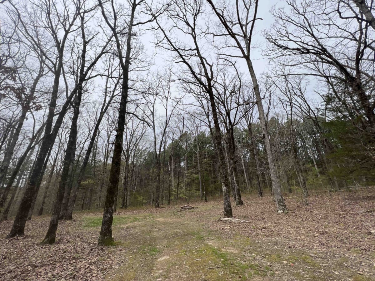
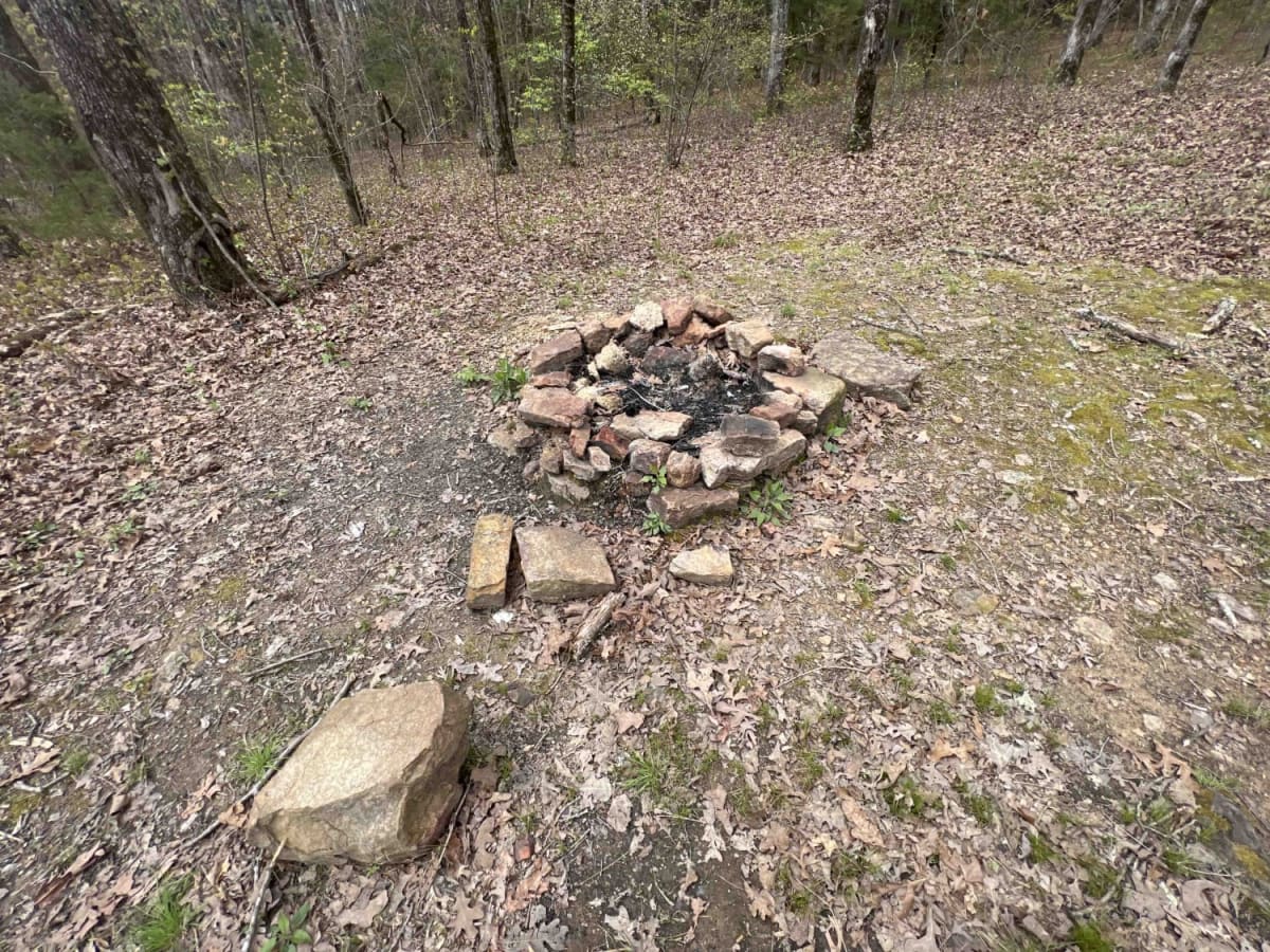
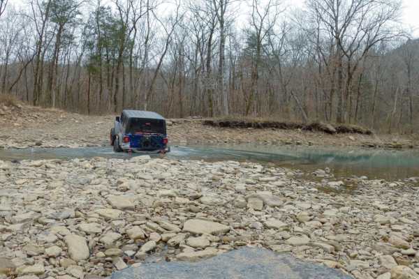
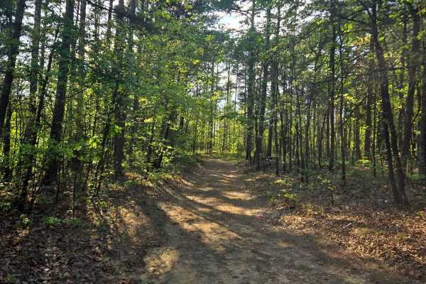
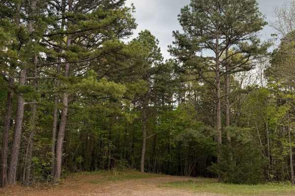
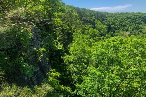
White Rock Mountain is magnificent. Sitting at an elevation of 2,309 feet the hiking trails with their views and caves to explore are a sight to see. There are three ways to get to White Rock Mountain, however one of which (Road 1003 in certain sections) is closed due to a landslide. This route is to help bypass that landslide. Coming from the west it starts out as an easy gravel road that winds through the Ozark National Forest. One of the first relics you will see is a huge rock with engraved writing that says Memorial Pine Plantation, Daughters of the American Revolution, which was dedicated to Mrs. Charles H. Miller in 1940. These forests are great for putting little signs and dedications throughout the area. As you continue down the road you will find some dispersed campsites near the Ozark Highland Trail. You will then make a hard right off Old Locke Rd onto 1003 which will then lead you up to White Rock Mountain camp. There, you will find cabins, camping, restrooms, scenic views and hiking areas that loop all the way around the mountain (about 2 miles). Cell phone service is attainable in certain areas along this trail.

Photos of White Rock Mountain West

Difficulty

This is an easy gravel road with rolling hills and steep climbs. There are creeks that could overflow their banks however the creeks on this route all have bridges.

History

White Rock Mountain which was built during the depression, has been beautifully restored. Here is a website that talks about some of the history on this breathtaking gem. https://www.exploresouthernhistory.com/whiterock.html

Technical Rating

2

Status Reports

Add Status Report
Nate Comiskey
Feb 28, 2026
Open
Dusty as hell. Gravel road
Will Cheek
Feb 17, 2026
Open
Construction crews are installing drainage pipes under the road so it is closed and impassable on the west end.
Gerardo Quintero
Jan 10, 2026
Open
Kolby Baker
Jul 05, 2025
Open
Scott Cronister
Mar 28, 2025
Open
Open all the way. A little muddy from recent rains in spots, but no issues.
john m
Dec 31, 2024
Open
gravel road
Jarrod Weaver
May 25, 2024
Open
Matt Couch
May 01, 2024
Open
Whomever submitted this “trail”, which is actually a USFS jurisdictional dirt road submitted it showing its legal to operate OHV’s all the way to White Rock. This is 100% incorrect and would result in $230 tickets for first offenses. The road is only legal for licensed vehicles -- no OHV's (MX, ATV, SxS).
Brodie Hill
Apr 27, 2024
Open

White Rock Mountain West Trail can be accessed by the following ride types:

  • Single Track
  • 50 Inch
  • 60 Inch
  • High Clearance
  • Full Width

White Rock Mountain West Map

The onX Offroad Difference

onX Offroad combines trail photos, descriptions, difficulty ratings, width restrictions, seasonality, and more in a user-friendly interface. Available on all devices, with offline access and full compatibility with CarPlay and Android Auto. Discover what you're missing today!

Open Trail Map