Trail Overview
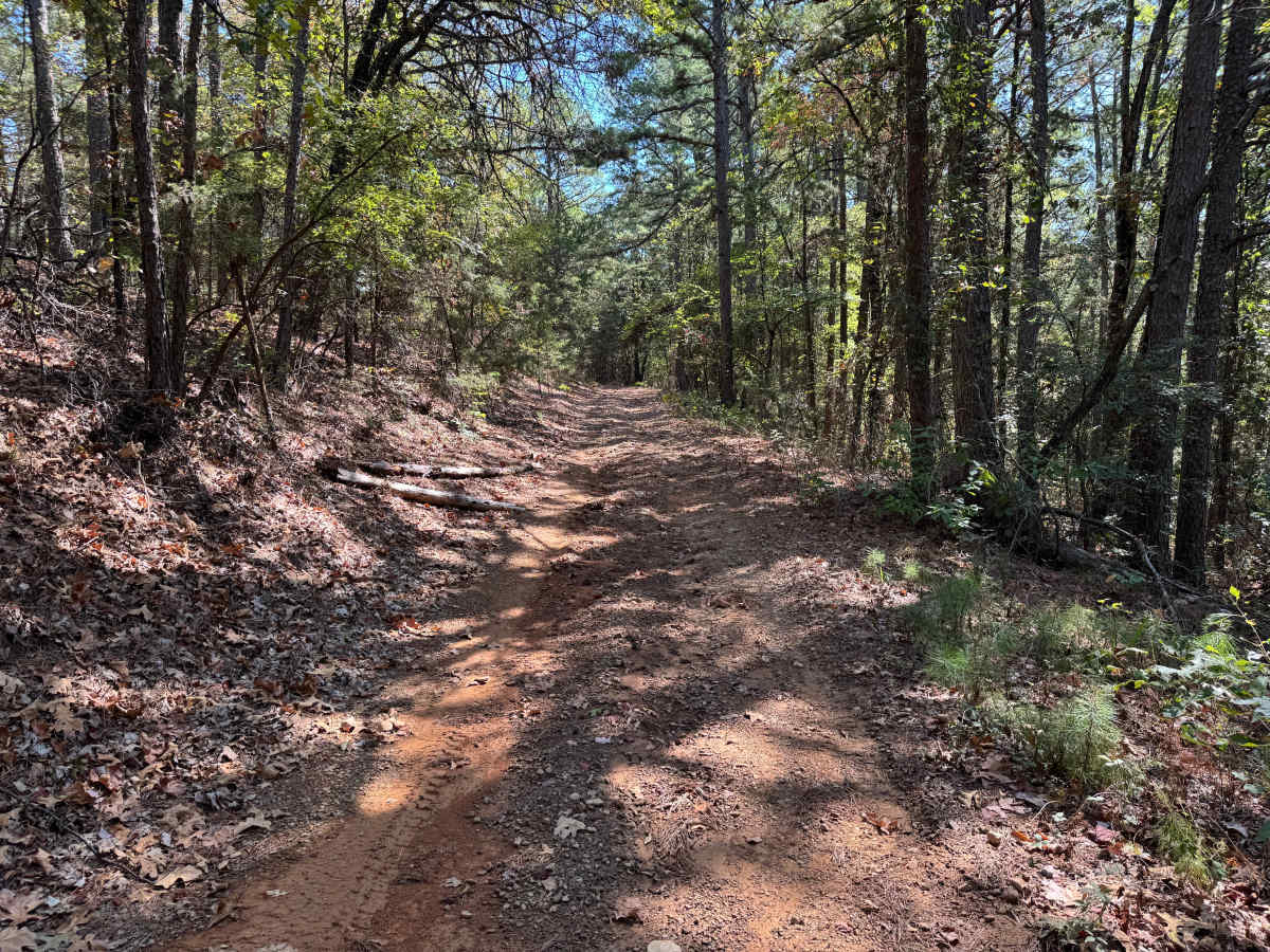
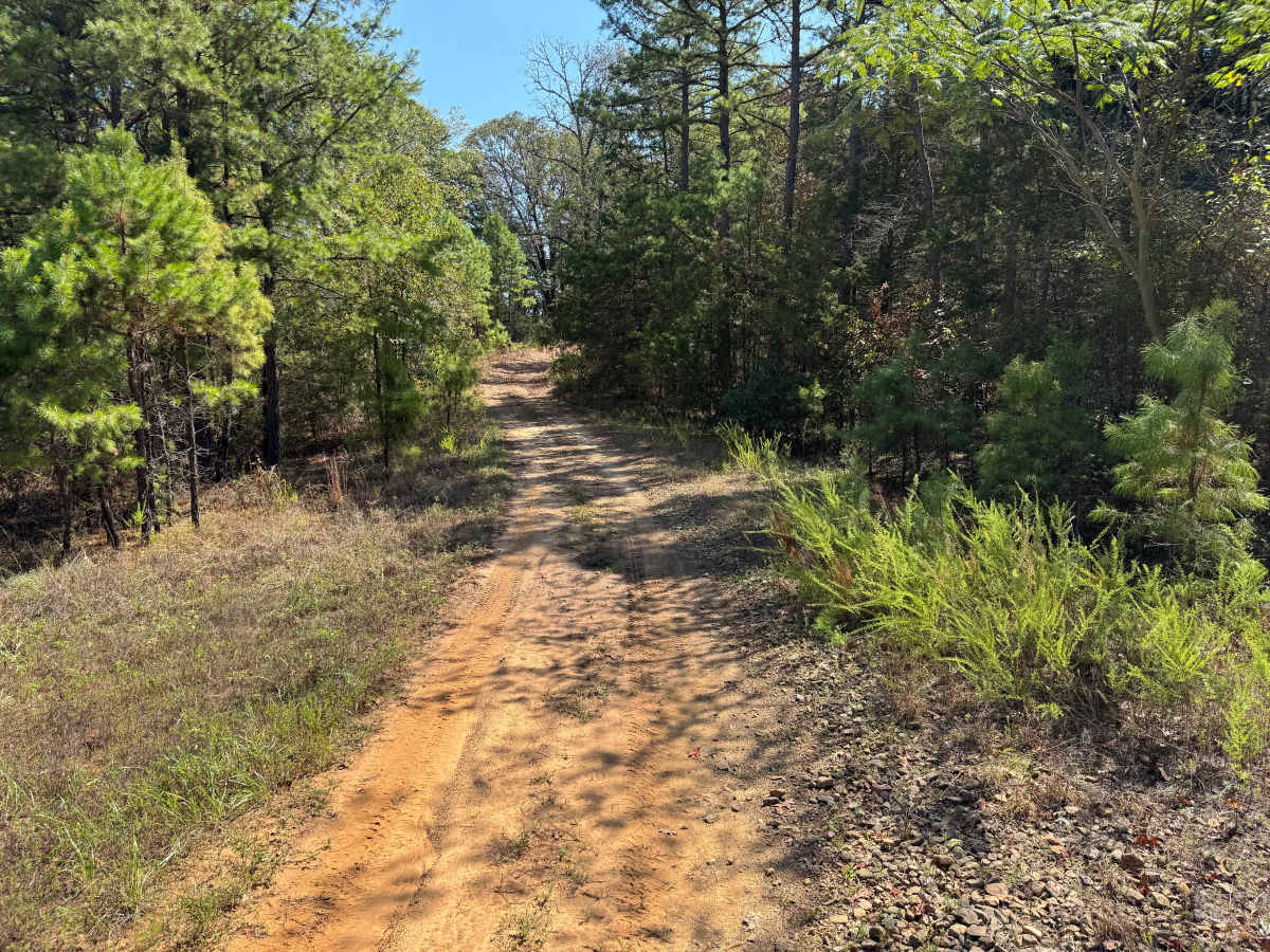
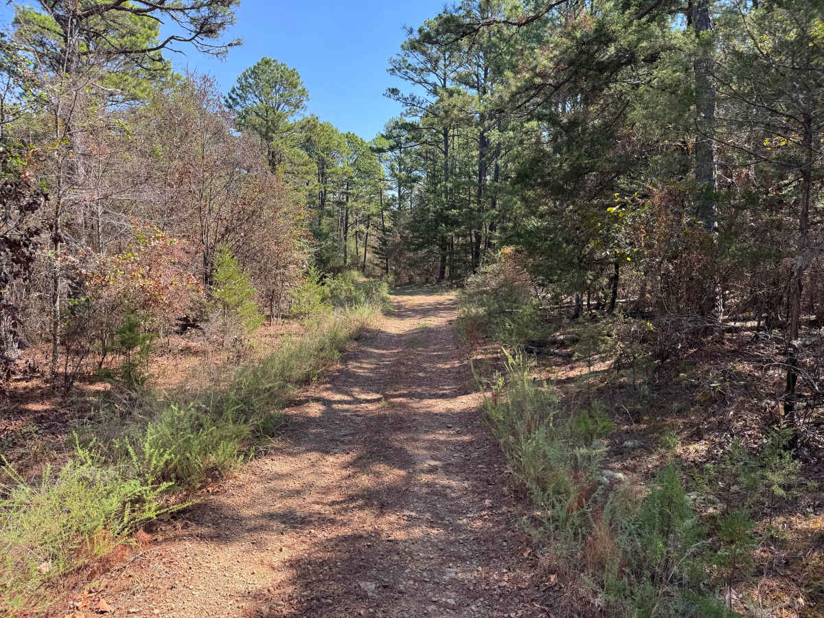
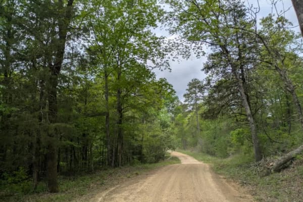
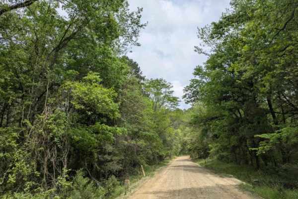
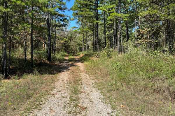
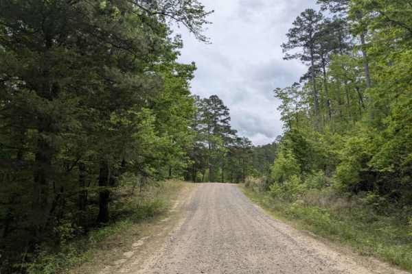
Wagner (FS 1646) is an easy connector best suited for offroaders linking Spring Lake Road with Hickory Grove Road through a low-lying drainage corridor. Following Bob Barnes Branch, this short route features a native dirt surface with minor rock, shallow ruts, and soft sections that reflect its minimal maintenance and proximity to water. While all vehicle types are permitted, high-clearance 4x4s, ATVs, and motorcycles are better suited for handling the uneven tread and occasional muddy stretches that can develop even in otherwise dry conditions. The terrain is relatively flat with minimal elevation change, but the drainage alignment gives the route a more variable and sometimes unpredictable surface.
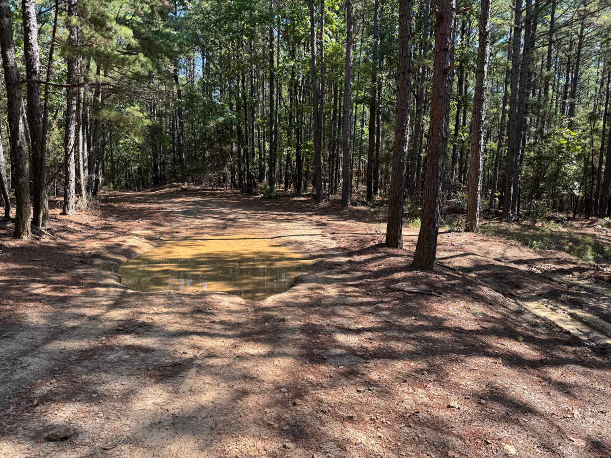
Weather has a direct impact on trail conditions, as rainfall can quickly create standing water, slick mud, and saturated ground along the corridor. Shallow pooled sections or minor water crossings may form depending on recent precipitation, and ruts can deepen in softer areas with repeated use. The narrow nature of the route and limited turnaround opportunities make it less forgiving for larger vehicles, particularly when conditions deteriorate. As part of the U.S. Forest Service motorized network, FS 1646 serves as a practical but lightly maintained link through a quiet section of the forest, requiring users to be prepared for soft terrain and limited support along the way.
Difficulty
Steep grades combined with ruts, whoops, and dips create uneven terrain and require additional attention to vehicle clearance and traction. Water-holding areas may also become muddy or deeper following rainfall.
History
The Mount Magazine area has a long history of transportation, forestry, and recreation. During the Great Depression, federal programs including the Civilian Conservation Corps and Works Progress Administration developed roads and recreation infrastructure around the mountain. Cove Lake was constructed as part of the Mount Magazine land-use project and was completed in 1938, while CCC crews based at nearby Blue Mountain performed forestry work and improved roads throughout the area. Many of today's routes travel through the same national forest landscape that was extensively managed and developed during this period.



 Offroad