Trail Overview
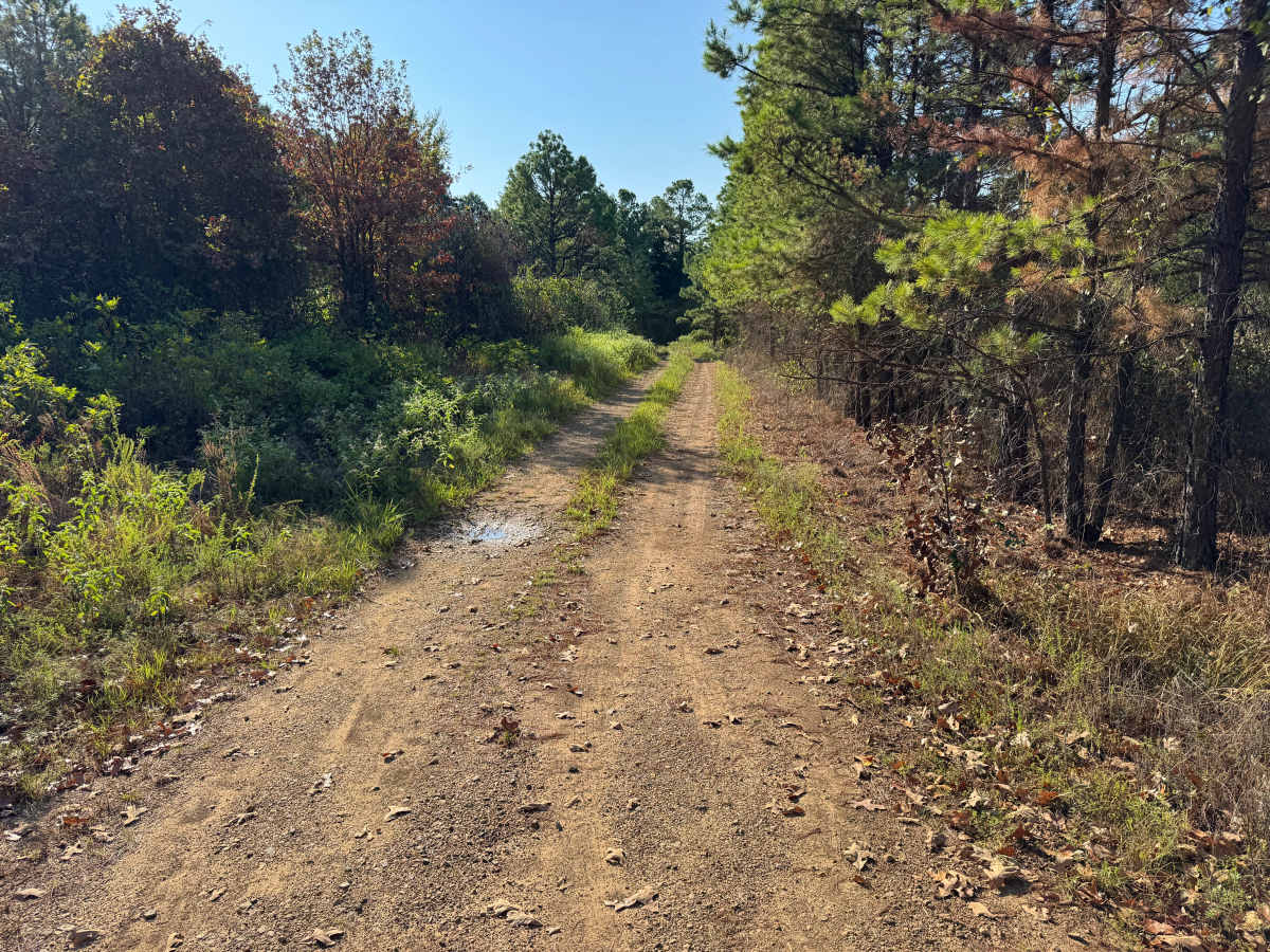
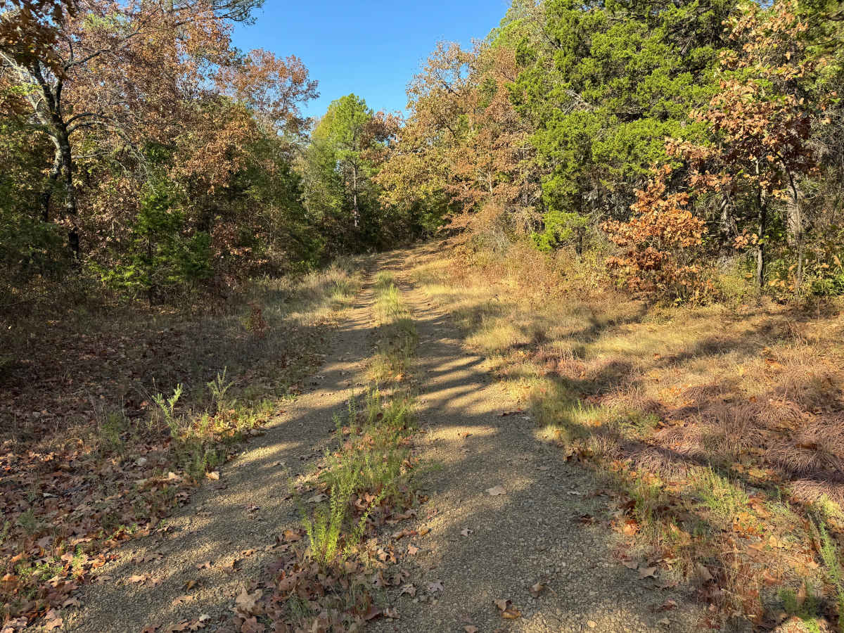
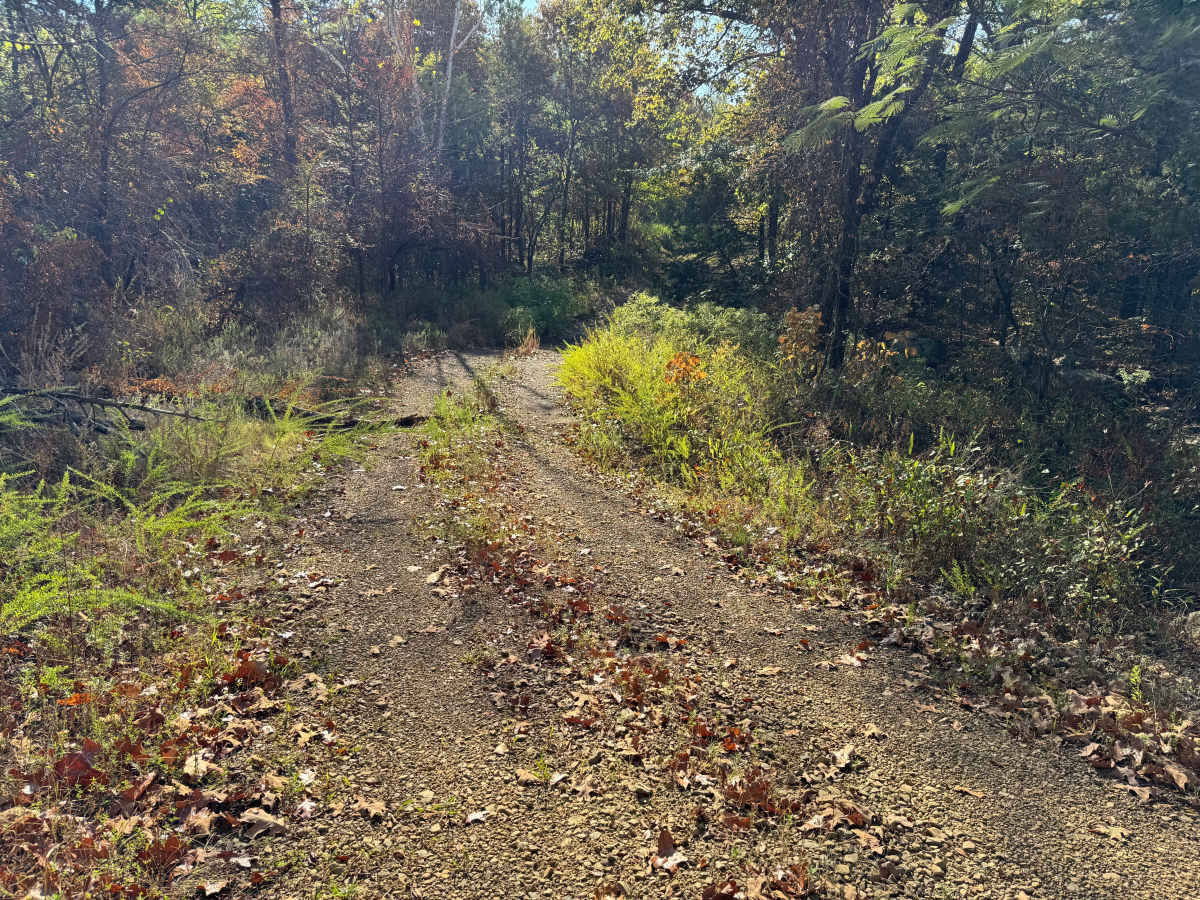
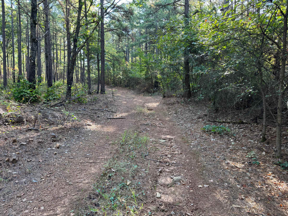
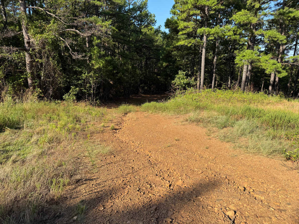
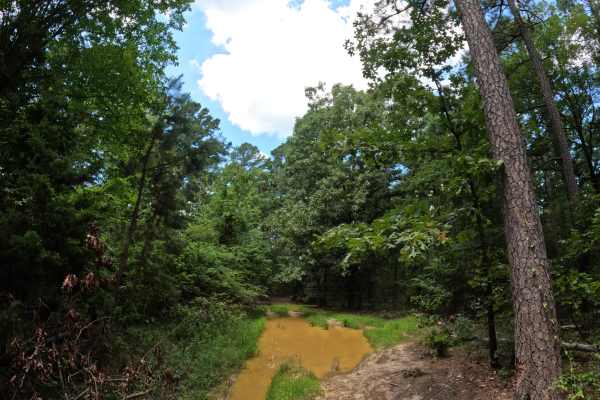
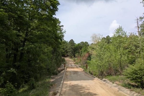
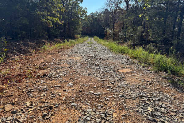
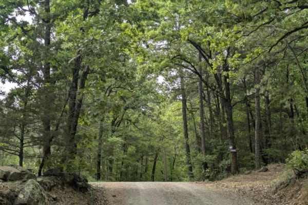
This out-and-back Forest Service route travels through a mixture of pine and hardwood forest before ending at a locked gate. The surface varies from compacted gravel and native dirt to sections of lightly traveled two-track, with grasses and other vegetation becoming established between the tire paths. Mature pines and hardwoods form much of the surrounding canopy, while younger pines, shrubs, grasses, and dense understory line the roadway. Some stretches are relatively open and sunny, while others pass beneath a much denser forest canopy. A small intermittent stream crosses the roadway and may contain flowing water depending on recent rainfall. The route terminates at a locked Forest Service gate, where a wider area provides adequate room to turn around and return the way you came. Wildlife, fallen limbs, and downed trees should be watched for along the wooded portions of the route.
Difficulty
Typical whoops, bumps, and ruts from natural water erosion create minor uneven terrain. The small stream crossing may vary with recent rainfall but presents no major obstacle under normal conditions.
History
The Mount Magazine area has a long history of transportation, forestry, and recreation. During the Great Depression, federal programs including the Civilian Conservation Corps and Works Progress Administration developed roads and recreation infrastructure around the mountain. Cove Lake was constructed as part of the Mount Magazine land-use project and was completed in 1938, while CCC crews based at nearby Blue Mountain performed forestry work and improved roads throughout the area. Many of today's routes travel through the same national forest landscape that was extensively managed and developed during this period.

 Offroad