Side Slanter

Total Miles1.9
Technical Rating
4Moderate
Best TimeSpring, Summer, Fall, Winter
Trail TypeFull-Width Road
Accessible By
Open Trail Map

Trail Overview

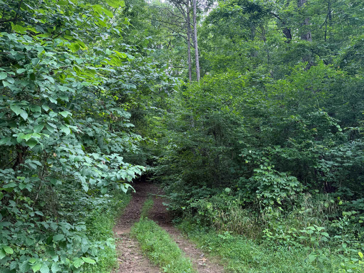
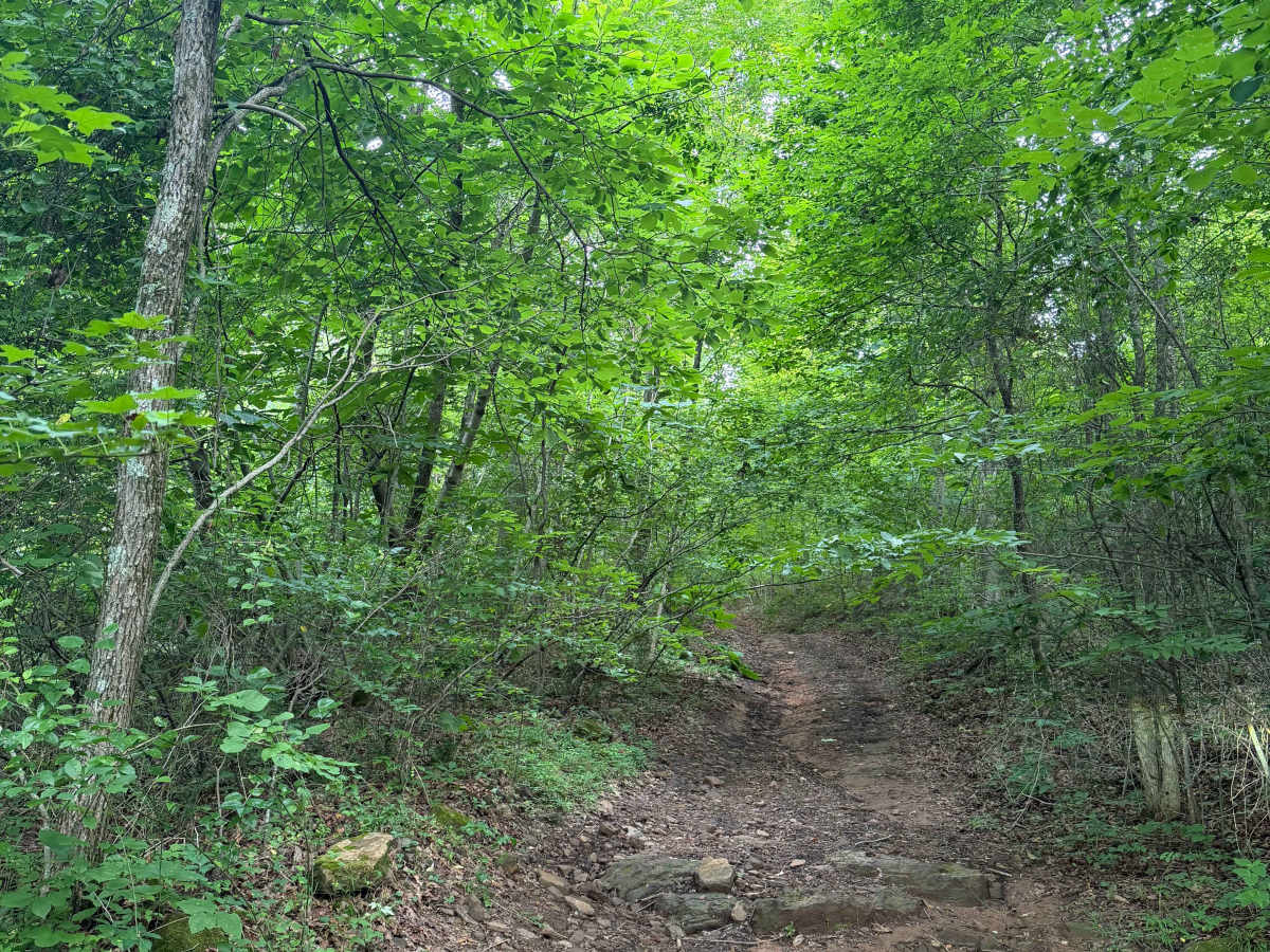
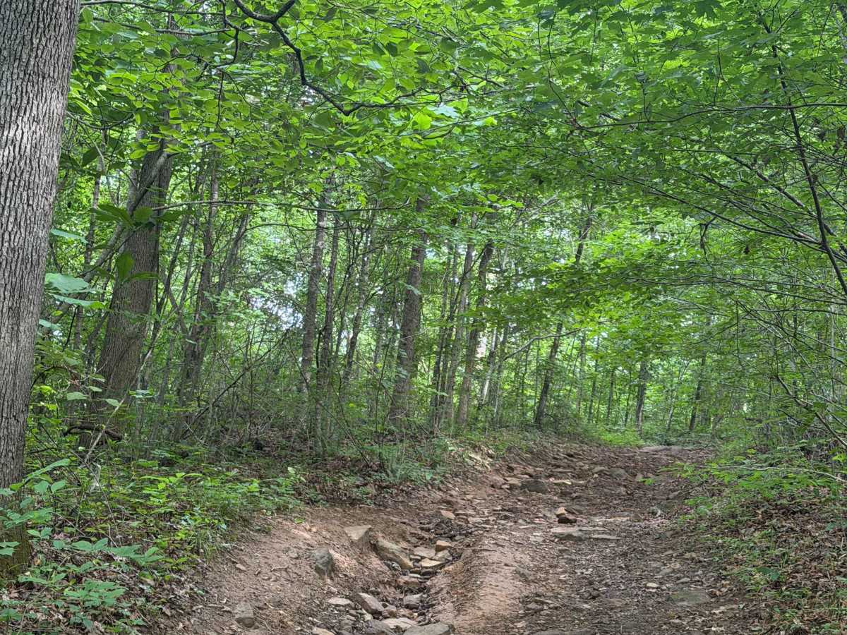
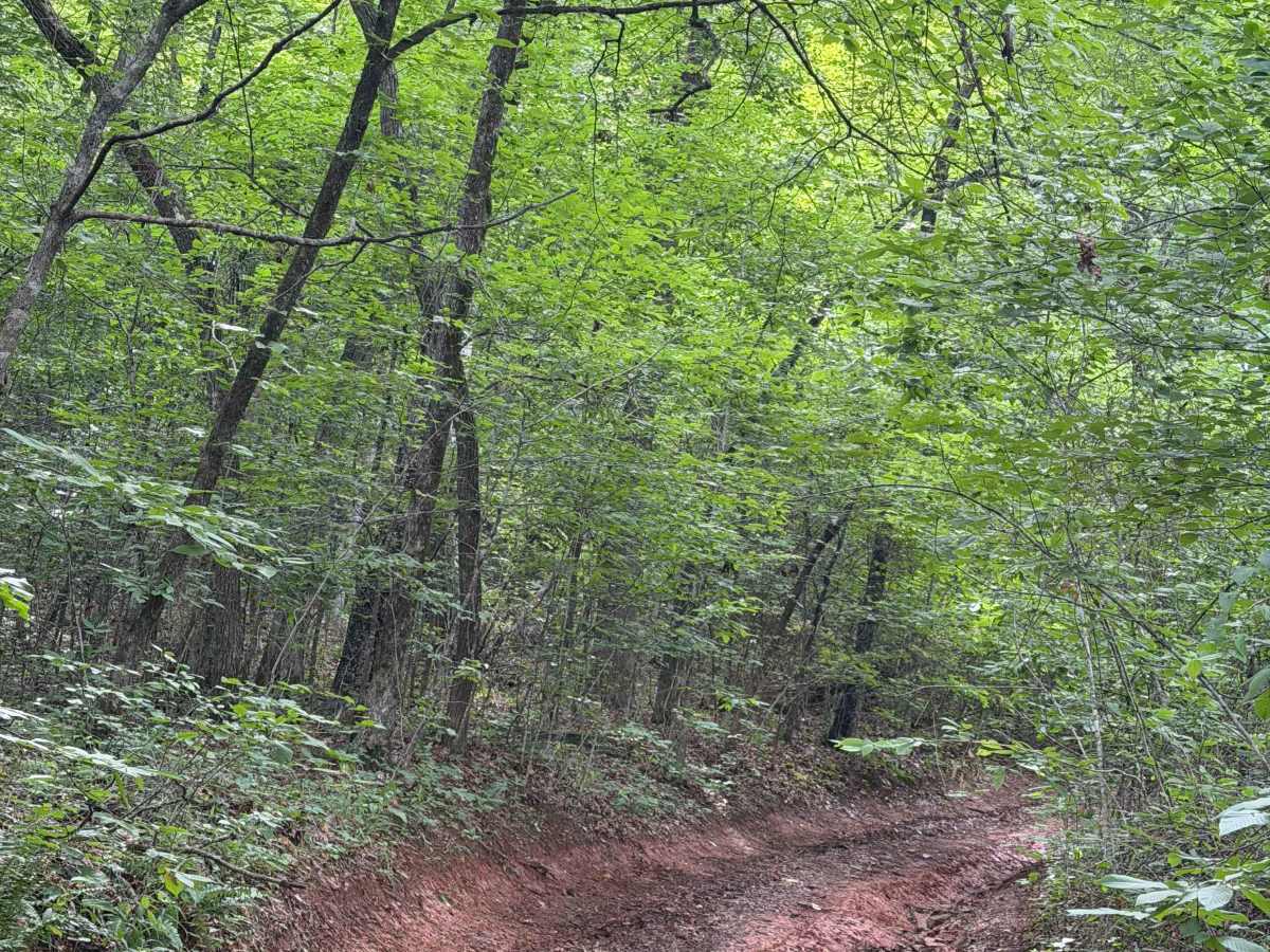
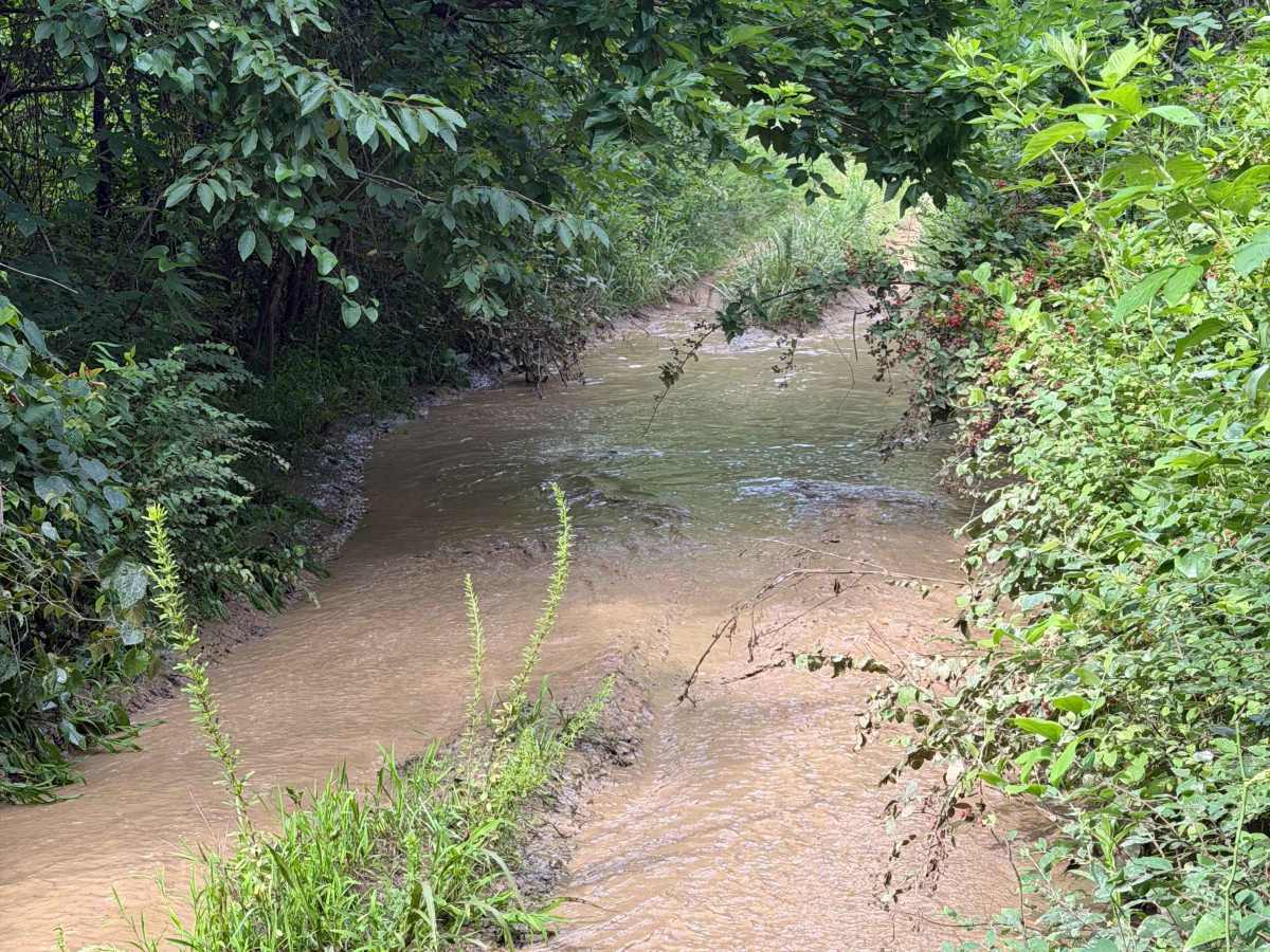
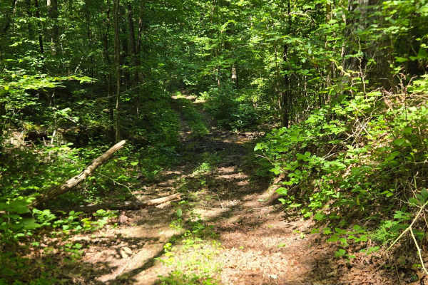
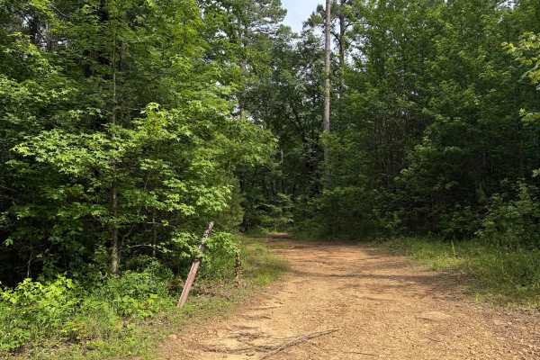
This point-to-point trail offers several obstacles and connects to County Road 1802. When traveled from east to west, the route climbs through tight brush to a rocky uphill section that transitions into a muddy, off-camber area. This section may continue to deteriorate and become more difficult than the rating recorded in July 2026. Beyond the off-camber section are several hard-bottom mud holes that were shallow at the time of submission but may change with rainfall and erosion.

Photos of Side Slanter

Difficulty

This trail includes a large uphill rock section with loose footing, along with muddy, off-camber areas.

Technical Rating

4

Side Slanter Trail can be accessed by the following ride types:

  • Single Track
  • 50 Inch
  • 60 Inch
  • High Clearance
  • Full Width

Side Slanter Map

The onX Offroad Difference

onX Offroad combines trail photos, descriptions, difficulty ratings, width restrictions, seasonality, and more in a user-friendly interface. Available on all devices, with offline access and full compatibility with CarPlay and Android Auto. Discover what you're missing today!

Open Trail Map