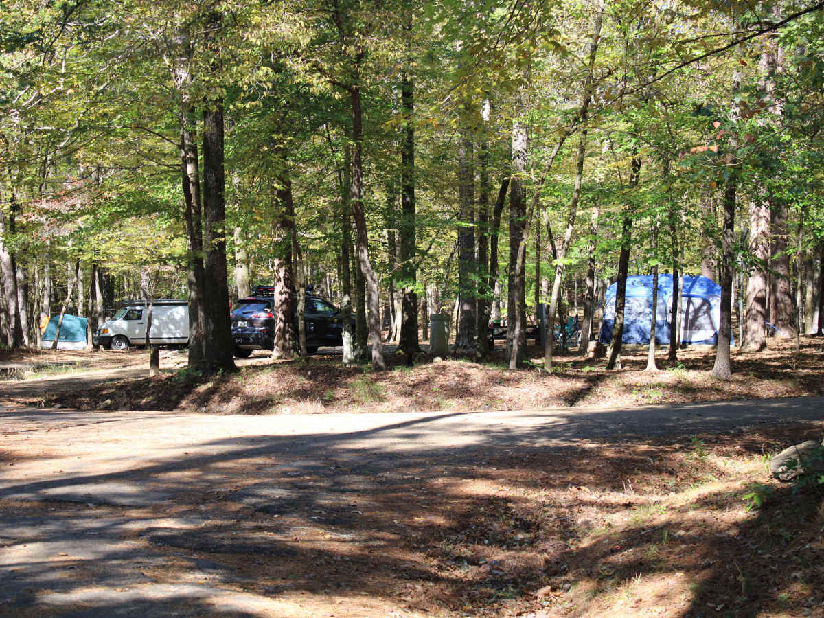
Trail Overview
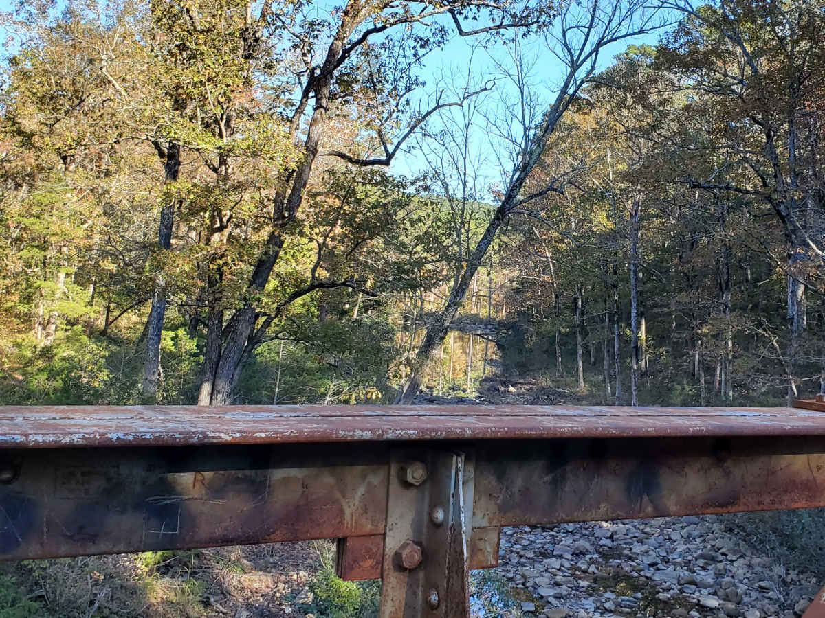
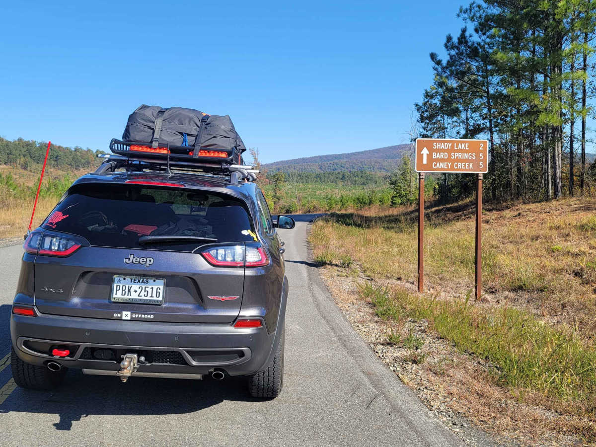
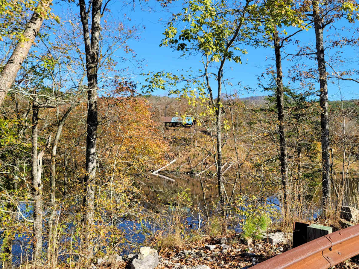
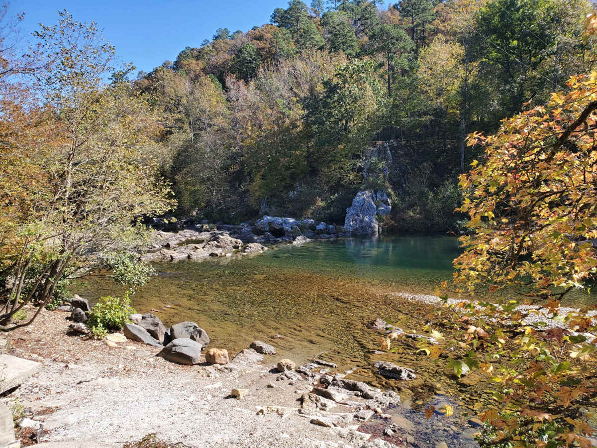
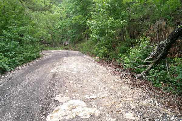
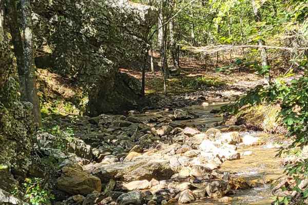
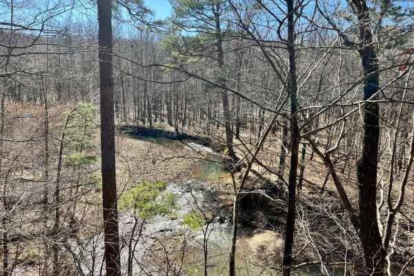
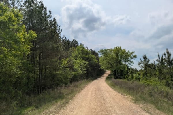
Exploring the Ouachita National Forest offers an exhilarating adventure with its winding rocky roads that carve through the dense woodland. As you navigate the trails, you'll find yourself accompanied by the soothing presence of beautiful streams running parallel to the path at various points. The journey includes thrilling low-water crossings that add a splash of excitement. As you ascend and descend the forest mountain roads, breathtaking vistas of the expansive forest unfold before you, revealing a tapestry of lush greenery and diverse wildlife. Each twist and turn of the trail promises new and awe-inspiring views, making for an unforgettable outdoor experience. This Route starts at Shady Lake Campground and goes past several dispersed campsites. It passes Bard Spring, Albert Pike, and Little Missouri Falls, and ends at Crooked Creek Falls. You can disperse camp at Crooked Creek Falls and many areas along this route--spring-side camping at its best.
Difficulty
Navigating the sections of this trail involves maneuvering through narrow roads where passing oncoming traffic can be nerve-wracking due to steep drop-offs on one side. While there's nothing particularly technical about the route, it does require caution, as motor graders frequently maintain the roads, adding an element of unpredictability. It's essential to take your time, ensuring safe passage, and to pause often to soak in the stunning panoramic views that these paths offer. Please keep in mind of flash flooding locations.
History
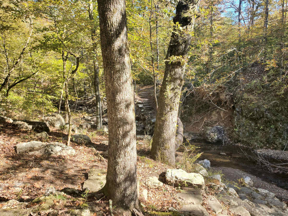
Scenic 25-acre lake in remote mountain setting. The Civilian Conservation Corps developed the Shady Lake Recreation Area in 1937. The Shady Lake Trail traverses Saline Creek and passes the historic Shady Lake Dam. It continues along the eastern edge of the campground. The trail is ideal for day hiking. Mountain bikers may also use the trail.